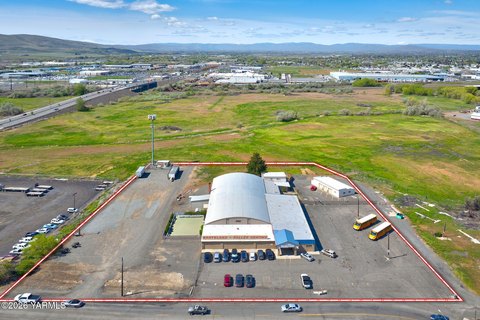
2921 Sutherland Dr Union Gap, WA 98903-1891
Property profile & analytics
2921 Sutherland Dr, Union Gap, WA 98903-1891
- Industrial properties
- 39,120 SF
- 6.32 lot acres
Property ID
US90-2045989
The Realmo ID is a unique identifier assigned to every property, incorporating country codes and precise geo-coordinates for 300x300-foot land blocks. It enables standardized data collection and seamless integration of disparate sources such as ownership, tax, title data and physical specifications. By aggregating current and historical records, the Realmo ID powers advanced analytics and delivers deep, verifiable insights for real estate professionals.
Location Intelligence
Current Use by Public Records
- Industrial properties
Property Details for 2921 Sutherland Dr
- Year built
- 2004
- Construction
- MASONRY/CONCRETE MASONRY UNITS (CMUS)
- Lot size
- 6.32 lot acres
- Zone code
- C2
- Property type
- Industrial properties
- APN
- 191206-24412
- APU
- 19120624412
Sales History
| Date | Price | Buyer | Seller | Deed Type | Mortgage |
|---|---|---|---|---|---|
| Feb 26, 2025 | — | Kcd Properties LLC | — | Deed · related | $5M · Mission Valley Bank |
| Aug 15, 2024 | — | Kcd Properties LLC | — | Deed · related | $8M · Capital Income Fund LLC |
| Apr 19, 2024 | — | Kcd Properties LLC | — | Deed · related | $1.3M · Innovative Capital Income Fund LLC |
| Aug 25, 2023 | — | Kcd Properties LLC | — | Deed · related | $2.5M · Innovative Capital Income Fund LLC |
| Mar 15, 2023 | — | Kcd Properties LLC | — | Deed · related | $2M · Innovative Capital Income Fund LLC |
| Jan 30, 2012 | $2,664,950 | Kcd Properties LLC | Sutherland Business Park LLC | Warranty Deed | $2.5M · Sutherland Business Park LLC |
Value Estimations
based on Realmo’s proprietary methodology
-
CAP approach
- CAP Return
- Estimation
- 6%
- $5,165,000
- 6.5%
- $4,770,000
- 7%
- $4,430,000
-
Comparable approach
- Method
- Estimation
- AI Estimate
- $2,625,000
Market price range: $923k - $4.88M -
Alternative Use
- Use
- Estimation
- RETAIL STORES
- $5,315,000
Get a detailed, property-specific estimation — fast and free
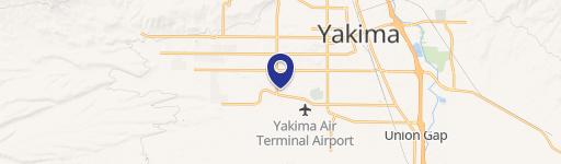
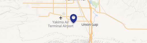
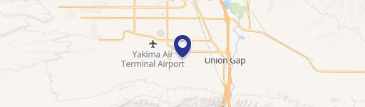
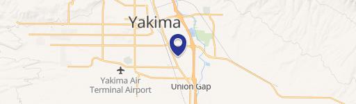
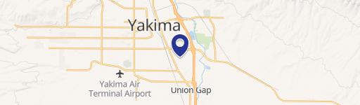
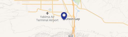
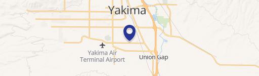
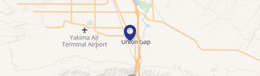
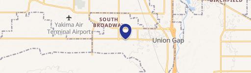
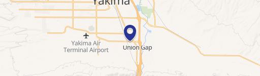
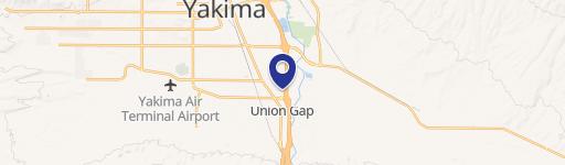
Location Insight
- Map
- Local Demand
- City
- Union Gap
- County
- Yakima
- State
- Washington
- Longitude
- -120.492
- Latitude
- 46.5588
- CBSA code
- 49420
- CBSA name
- YAKIMA, WA METROPOLITAN STATISTICAL AREA
Property Tax & Assessments
Tax date
Tax Amount
Assessed Land Value
Assessed Improvement Value
Total Assessed Value
Applied Tax Rate
Land Market Value
Improvement Market Value
Total Market Value
2024
$24,712
$1,651,800
$1,944,800
$3,596,600
-
$1,651,800
$1,944,800
$3,596,600