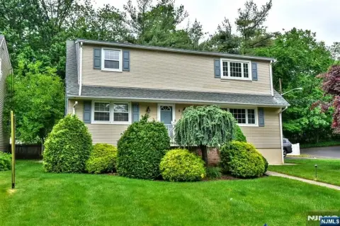
285 Wagaraw Rd Hawthorne, NJ 07506
Property profile & analytics
285 Wagaraw Rd, Hawthorne, NJ 07506
- Industrial properties
- 1.67 lot acres
Property ID
US59-1605274
The Realmo ID is a unique identifier assigned to every property, incorporating country codes and precise geo-coordinates for 300x300-foot land blocks. It enables standardized data collection and seamless integration of disparate sources such as ownership, tax, title data and physical specifications. By aggregating current and historical records, the Realmo ID powers advanced analytics and delivers deep, verifiable insights for real estate professionals.
Location Intelligence
Current Use by Public Records
- Industrial properties
Property Details for 285 Wagaraw Rd
- Year built
- 1940
- Construction
- FRAME
- Lot size
- 1.67 lot acres
- Property type
- Industrial properties
- APN
- 04 00015-0000-00002
- APU
- 400015000000002
Sales History
| Date | Price | Buyer | Seller | Deed Type | Mortgage |
|---|---|---|---|---|---|
| May 13, 2019 | — | 285 Wagaraw Road LLC | Van Der Eems Jacob | Grant Deed | — |
Value Estimations
based on Realmo’s proprietary methodology
-
AI approach
-
CAP approach
-
Comparable approach
-
Alternative Use
Get a detailed, property-specific estimation — fast and free
Location Insight
- Map
- Local Demand
- City
- Hawthorne
- County
- Passaic
- State
- New Jersey
- Longitude
- -74.1517
- Latitude
- 40.9423
- CBSA code
- 35620
- CBSA name
- NEW YORK-NORTHERN NEW JERSEY-LONG ISLAND, NY-NJ-PA METROPOLITAN STATISTICAL AREA
Property Tax & Assessments
Tax date
Tax Amount
Assessed Land Value
Assessed Improvement Value
Total Assessed Value
Applied Tax Rate
Land Market Value
Improvement Market Value
Total Market Value
2022
$69,750
$952,000
$1,412,400
$2,364,400
-
$952,000
$1,412,400
$2,364,400