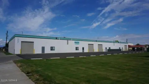
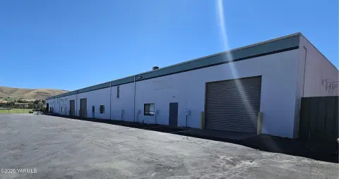
1917 14th St Union Gap, WA 98903-1282
Wholesale/Warehouse District (W/W). The purpose of the wholesale/warehouse district is to provide for a combination of manufacturing, warehouse, and industrially-oriented commercial uses. Uses in this district must be adequately buffered from adjacent residential neighborhoods. Residential uses are limited to caretaker's dwellings of established businesses.…
Cap rate
Implied · in-place · derived from last sale + estimated NOIValue
AI, CAP & Alternative Use estimations · Realmo proprietary blendProperty tax & assessments
Tax year 2024Comparables
6 recent transactions · within 1.5 miComparable in this City


Similar Nearby for Sale


Similar Nearby for Lease


Property description
Physical attributes from public recordsZoning & alternative use
W/W · Union Gap, WAWholesale/Warehouse District (W/W). The purpose of the wholesale/warehouse district is to provide for a combination of manufacturing, warehouse, and industrially-oriented commercial uses. Uses in this district must be adequately buffered from adjacent residential neighborhoods. Residential uses are limited to caretaker's dwellings of established businesses. Development must be served by a full range of urban services, with access by paved streets with curbs, gutters, and sidewalks. J.
Costs & Benchmarks
Operating expenses, capex projections, utility benchmarks, and submarket comparables — all in one view.
Risks
Flood, climate, environmental, title, and tenant-concentration risk — surfaced with mitigations and source citations.


