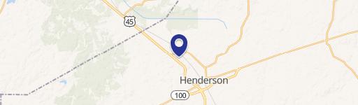
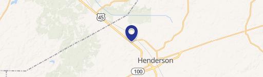
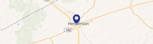
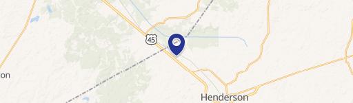
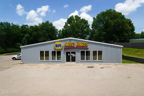
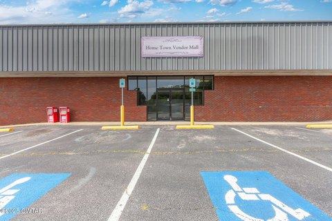
170 Record Dr Henderson, TN 38340-9788
Property profile & analytics
170 Record Dr, Henderson, TN 38340-9788
- Industrial properties
- 23,180 SF
- 6.80 lot acres
Property ID
US80-0888035
The Realmo ID is a unique identifier assigned to every property, incorporating country codes and precise geo-coordinates for 300x300-foot land blocks. It enables standardized data collection and seamless integration of disparate sources such as ownership, tax, title data and physical specifications. By aggregating current and historical records, the Realmo ID powers advanced analytics and delivers deep, verifiable insights for real estate professionals.
Location Intelligence
Current Use by Public Records
- Eagle Sales Co / Building Supply / Hardware & Home Improvement
- B & G / Metal Fabrication Plant / Factory
Property Details for 170 Record Dr
- Year built
- 1991
- Construction
- FRAME
- Lot size
- 6.80 lot acres
- Zone code
- M2
- Property type
- Industrial properties
- APN
- 012028 01006
- APU
- 1202801006
Sales History
| Date | Price | Buyer | Seller | Deed Type | Mortgage |
|---|---|---|---|---|---|
| Aug 19, 2009 | $241,414 | Frix,carey W | Lewellyn,patsy | Warranty Deed | $205k · Regions Bk/fayette |
| Feb 12, 1991 | $34,000 | Robert Lewlellyn | Unknown | Grant Deed | — |
| — | — | Lewellyn,robert & Patsy | — | Deed Of Trust · related | $41k · Regions Bk/fayette |
Value Estimations
based on Realmo’s proprietary methodology
-
AI approach
-
CAP approach
-
Comparable approach
-
Alternative Use
Get a detailed, property-specific estimation — fast and free
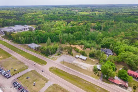
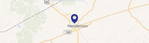
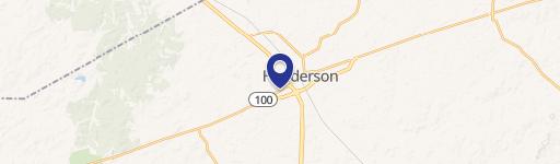
Location Insight
- Map
- Local Demand
- City
- Henderson
- County
- Chester
- State
- Tennessee
- Longitude
- -88.6906
- Latitude
- 35.4722
- CBSA code
- 27180
- CBSA name
- JACKSON, TN METROPOLITAN STATISTICAL AREA
Property Tax & Assessments
Tax date
Tax Amount
Assessed Land Value
Assessed Improvement Value
Total Assessed Value
Applied Tax Rate
Land Market Value
Improvement Market Value
Total Market Value
2023
$1,727
$0.00
$0.00
$69,480
-
$51,000
$122,700
$173,700