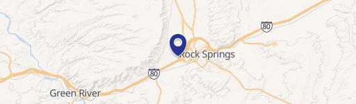
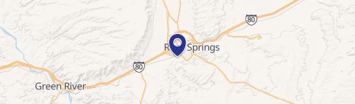
15 Layos Dr, Rock Springs, WY 82901
- Mining land & claims
- 5.00 lot acres
Current Use by Public Records
- Mining land & claims
Property Details for 15 Layos Dr
- Year built
- 2011
- Lot size
- 5.00 lot acres
- Property type
- Mining land & claims
- APN
- 1805-06-4-02-012-00
- APU
- 18050640201200
Sales History
| Date | Price | Buyer | Seller | Deed Type | Mortgage |
|---|---|---|---|---|---|
| Feb 26, 2026 | — | Mendoza & Torres INC | Hmc Leasing LLC | Special Warranty Deed | $385k · Rsnb Bank |
Description
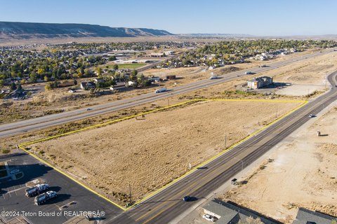
This 5-acre commercial and industrial land parcel, located at 15 Layos Drive in Rock Springs, Wyoming (zip code 82901), is offered at $1,086,000. The property, zoned Industrial, is situated in the Yates Petroleum subdivision, an area featuring light-industrial and warehouse properties. This vacant lot boasts excellent freeway visibility and signage leasing potential along Interstate-80. The lot is partially fenced and previously improved with a road base suitable for heavy use. Utilities readily available include city water, sewer, Pacific Power electricity, Dominion natural gas, and Sweetwater Cablevision internet access. The property is platted as Lot 2 of the Yates Petroleum subdivision, with tax parcel number 04-1805-06-4-02-012.00. Its location offers a wide variety of potential uses, including commercial, retail, office, and warehouse development, due to its Commercial (C) zoning. This presents a unique opportunity for owner-users or investors seeking a strategically located industrial site with significant development potential in a well-established industrial area. The property's existing infrastructure and convenient access to major transportation routes make it an attractive investment.
Value Estimations
-
AI approach
-
CAP approach
-
Comparable approach
-
Alternative Use
Get a detailed, property-specific estimation — fast and free
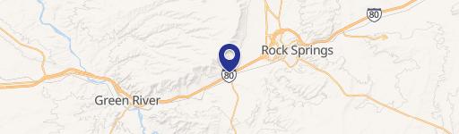
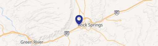
Location Insight
- Map
- Local Demand
- City
- Rock Springs
- County
- Sweetwater
- State
- Wyoming
- Longitude
- -109.297
- Latitude
- 41.5663
- CBSA code
- 40540
- CBSA name
- ROCK SPRINGS, WY MICROPOLITAN STATISTICAL AREA