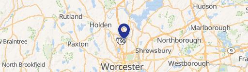
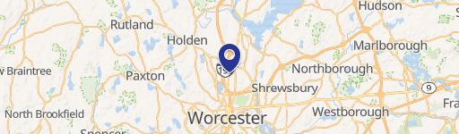
14 New Bond St Worcester, MA 01606
 For Lease
1 / 2
For Lease
1 / 2
This exceptional industrial property, located at 14 New Bond Street in Worcester, Massachusetts, offers 272,600 square feet of versatile space ideal for manufacturing and warehousing operations. The property consists of four suites, with a minimum divisible space of 28,800 square feet and a maximum contiguous space of 125,000 square feet. Currently, the entire 272,600 square feet is vacant, presenting a unique opportunity for a single large tenant or multiple smaller tenants. The building, constructed in 1901, is classified as Class C and features ceiling heights ranging from 14 to 24 feet, providing ample vertical space for various industrial uses. Situated on a substantial 15.23-acre lot, the property boasts ample parking and outdoor storage areas. Its strategic location offers easy access to major transportation arteries, including Route 12, and is within a half-mile of Route 190 and Route 290, ensuring efficient logistics and distribution. The property is zoned MG-1 within Worcester County, and the zip code is 01606. This property represents a significant opportunity for businesses seeking substantial industrial space in a prime Worcester location. Contact us today to learn more about leasing options and explore the potential of this exceptional property.
-
Central MA Prep Special Education Facility
-
Central Mass Collaborative Special Education Facility
-
Robert H Goddard Academy High School
-
Academic Center for Transition High School
-
Hartwell Learning Center High School
Cap rate
Implied · in-place · derived from last sale + estimated NOIValue
AI, CAP & Alternative Use estimations · Realmo proprietary blendProperty tax & assessments
Tax year 2024Comparables
6 recent transactions · within 1.5 miComparable in this City


Similar Nearby for Sale


Similar Nearby for Lease


Property description
Physical attributes from public recordsZoning & alternative use
MG-1 · Worcester, MACosts & Benchmarks
Operating expenses, capex projections, utility benchmarks, and submarket comparables — all in one view.
Risks
Flood, climate, environmental, title, and tenant-concentration risk — surfaced with mitigations and source citations.


