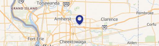
1219 Frst Rd Buffalo, NY 14221-3230
Property profile & analytics
1219 Frst Rd Buffalo, NY 14221-3230
- Office buildings
- 19,374 SF
- 1.70 lot acres
Property ID
US63-1702173
The Realmo ID is a unique identifier assigned to every property, incorporating country codes and precise geo-coordinates for 300x300-foot land blocks. It enables standardized data collection and seamless integration of disparate sources such as ownership, tax, title data and physical specifications. By aggregating current and historical records, the Realmo ID powers advanced analytics and delivers deep, verifiable insights for real estate professionals.
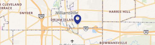
Location Intelligence
Current Use by Public Records
- DDAWNY / Association / Organization
- People Inc. / Social Service Agency / Charitable Organization
Property Details for 1219 Frst Rd
- Year built
- 1978
- Lot size
- 1.70 lot acres
- Property size
- 19,374 SF
- Property type
- Office buildings
- APN
- 142289 55.19-4-5.1
- APU
- 1422895519451
Value Estimations
based on Realmo’s proprietary methodology
-
Comparable approach
- Method
- Estimation
- Statistic Estimate
- $2,451,000
Market price range: $1.83M - $3.86M -
Alternative Use
- Use
- Estimation
- OFFICE BUILDING
- $2,730,000 Current use
- COMMERCIAL (GENERAL)
- $2,965,000 Change: +9% Conversion: Easy
- RETAIL STORES
- $2,780,000 Change: +2% Conversion: Moderate
- NEIGHBORHOOD: SHOPPING CENTER
- $2,515,000 Change: -8% Conversion: Difficult
- RESTAURANT
- $2,400,000 Change: -12% Conversion: Moderate
Get a detailed, property-specific estimation — fast and free
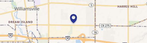
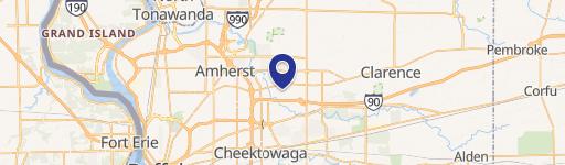
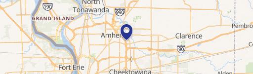
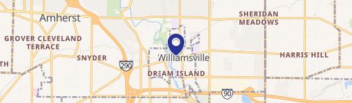
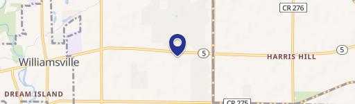
Location Insight
- Map
- Local Demand
- City
- Buffalo
- County
- Erie
- State
- New York
- Longitude
- -78.7599
- Latitude
- 42.9892
- CBSA code
- 15380
- CBSA name
- BUFFALO-NIAGARA FALLS, NY METROPOLITAN STATISTICAL AREA
Property Tax & Assessments
Tax date
Tax Amount
Assessed Land Value
Assessed Improvement Value
Total Assessed Value
Applied Tax Rate
Land Market Value
Improvement Market Value
Total Market Value
2019
$4,282
$290,000
$1,430,000
$1,720,000
-
$467,742
$2,306,452
$2,774,194