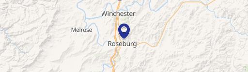
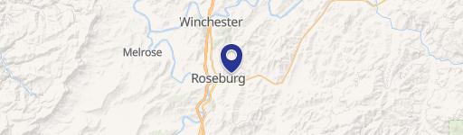
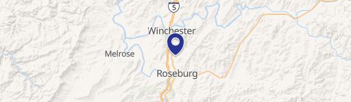
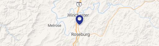
0 Rifle Range St Roseburg, OR 97470
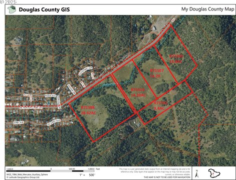
This exceptional 11.43-acre parcel presents a remarkable opportunity for residential development in the desirable Roseburg, Oregon market. Located on Rifle Range Street, with convenient access via Rifle Range Road or a potential connection to NE Cummins Street through an existing subdivision, this fee-simple property is zoned for residential use, offering flexibility for single-family homes or multi-family projects. The property's APN is R40164, and its location in Douglas County, Oregon, zip code 97470 (latitude 43.21757583993214, longitude -123.32199117484254), provides excellent access to amenities and infrastructure. The asking price is $1,100,000. This vacant land is ideal for developers seeking to create a new residential subdivision. Note that adjacent parcels totaling an additional 6.74 acres are also available for purchase, presenting the potential for a larger-scale development project. This is a unique opportunity to acquire a substantial land holding in a growing Oregon community. The property is offered as a fee simple ownership. Serious inquiries are encouraged.
Cap rate
Implied · in-place · derived from last sale + estimated NOIValue
AI, CAP & Alternative Use estimations · Realmo proprietary blendComparables
6 recent transactions · within 1.5 miComparable in this City
Similar Nearby for Sale


Similar Nearby for Lease


Property description
Physical attributes from public recordsZoning & alternative use
No recorded transactions found for this property.
Costs & Benchmarks
Operating expenses, capex projections, utility benchmarks, and submarket comparables — all in one view.
Risks
Flood, climate, environmental, title, and tenant-concentration risk — surfaced with mitigations and source citations.


