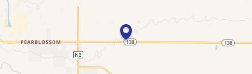
0 136Th St Pearblossom, CA 93553
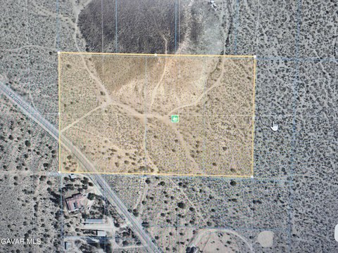
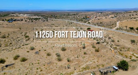
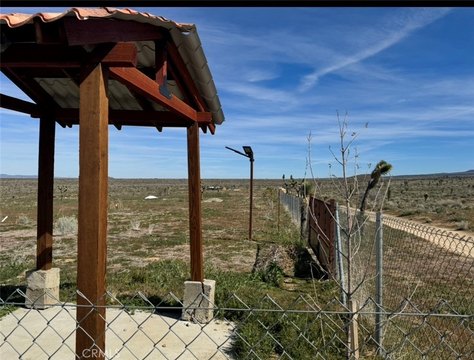
This exceptional 21.58-acre commercial land parcel is situated in Pearblossom, California, within Los Angeles County (APN: 3060-005-025). Located at the intersection of Avenue X and 136th Street East, zip code 93553, this property offers a unique opportunity for various commercial ventures. The land is zoned LCA21, providing flexibility for development. Priced at $99,000, this translates to an attractive price per acre of $4,587.58. Its rural setting in Northern Los Angeles County provides a tranquil environment while still maintaining convenient access to urban amenities. The property's proximity to the foothills and the California Aqueduct adds to its appeal. The expansive acreage presents numerous possibilities, including agricultural pursuits, equestrian activities, or the creation of a private oasis. This property also represents a strong landbank investment opportunity. The potential for development and the desirable location make this a rare and compelling investment prospect in the Pearblossom area. This is a chance to acquire a significant piece of land in a growing region, offering substantial potential for future growth and return. Don't miss this opportunity to secure this valuable asset.
Cap rate
Implied · in-place · derived from last sale + estimated NOIValue
AI, CAP & Alternative Use estimations · Realmo proprietary blendComparables
6 recent transactions · within 1.5 miComparable in this City

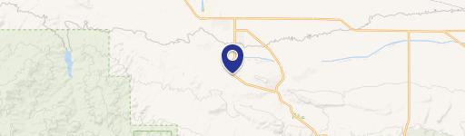

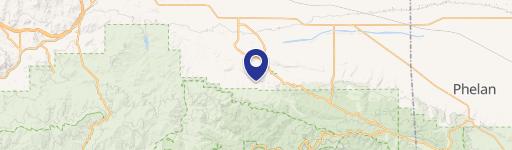
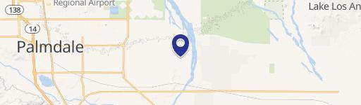
Similar Nearby for Sale


Property description
Physical attributes from public recordsZoning & alternative use
No recorded transactions found for this property.
Costs & Benchmarks
Operating expenses, capex projections, utility benchmarks, and submarket comparables — all in one view.
Risks
Flood, climate, environmental, title, and tenant-concentration risk — surfaced with mitigations and source citations.


