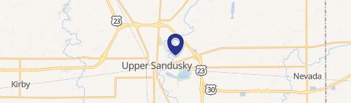
30 State Hwy Upper Sandusky, OH 43351
This exceptional 12.75-acre parcel in Upper Sandusky, Ohio, presents a compelling investment opportunity. Located on State Highway 30, this property boasts convenient access to major roadways, enhancing its development potential. Priced at $575,000, or approximately $45,098.04 per acre, this land offers significant value for developers seeking prime real estate in a thriving area. The property's strategic location is surrounded by established businesses, including a Walmart, and existing multifamily developments, suggesting a strong market for similar projects. The parcel's APN is 06-189505.0000, and the zip code is 43351. While the zoning, future land use, and zoning restrictions are not specified, the property's size and location make it highly suitable for multifamily development. The net usable acreage is 12.75 acres. This prime development land presents a rare opportunity to capitalize on the growing demand for residential and commercial properties in this desirable Ohio location. Further due diligence is recommended to confirm all aspects of the property and its suitability for intended development plans. Interested parties should conduct their own independent investigation to verify all information.
Cap rate
Implied · in-place · derived from last sale + estimated NOIValue
AI, CAP & Alternative Use estimations · Realmo proprietary blendComparables
6 recent transactions · within 1.5 miComparable in this City


Similar Nearby for Sale


Property description
Physical attributes from public recordsZoning & alternative use
No recorded transactions found for this property.
Costs & Benchmarks
Operating expenses, capex projections, utility benchmarks, and submarket comparables — all in one view.
Risks
Flood, climate, environmental, title, and tenant-concentration risk — surfaced with mitigations and source citations.


