0 Wyandot Ave Upper Sandusky, OH 43351
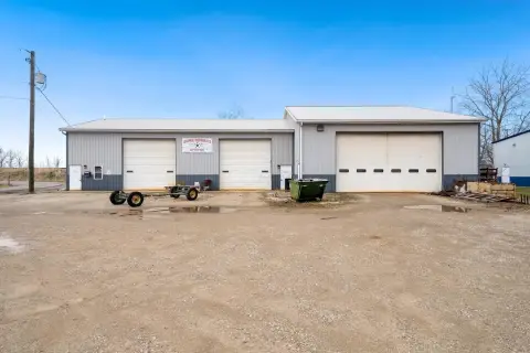
This exceptional commercial land parcel, located on E. Wyandot Avenue in Upper Sandusky, Ohio, presents a unique investment opportunity. Comprising approximately 13.42 acres of level, farmable land, this property boasts convenient highway commercial access directly off US 23 and also fronts St. Rt. 330 ("Old Lincoln Hwy"). The parcel is zoned for commercial use and features three APN numbers: 06-214500, 06-215000, and 06-215500. Its ideal location and ample acreage make it suitable for a variety of development projects. The flat terrain simplifies construction, while the highway frontage ensures high visibility and accessibility. This property is particularly well-suited for institutional uses such as churches or senior housing facilities, or light industrial applications. The asking price for this significant land holding is $530,090. The total acreage is 13.42 acres, but the property includes additional acreage, bringing the total to between 1 and 28.72 acres. Serious inquiries are encouraged.
Cap rate
Implied · in-place · derived from last sale + estimated NOIValue
AI, CAP & Alternative Use estimations · Realmo proprietary blendComparables
6 recent transactions · within 1.5 miComparable in this City


Similar Nearby for Sale


Property description
Physical attributes from public recordsZoning & alternative use
No recorded transactions found for this property.
Costs & Benchmarks
Operating expenses, capex projections, utility benchmarks, and submarket comparables — all in one view.
Risks
Flood, climate, environmental, title, and tenant-concentration risk — surfaced with mitigations and source citations.


