Highway Commercial Access
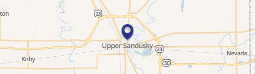
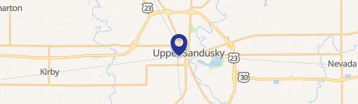
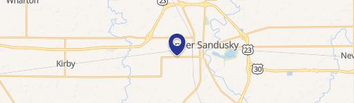
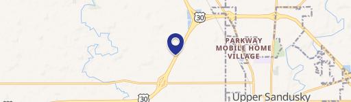
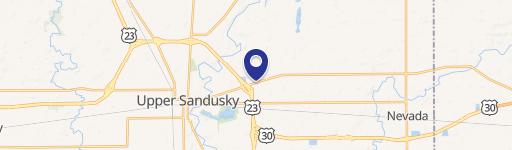
E Wyandot Avenue Upper Sandusky, OH 43351
E Wyandot Avenue, Upper Sandusky, OH, 43351
Contact for pricing
For Sale
Contact for pricing
13.42 acres of level, farmed land with highway access.
Lot Size13.42 Acres
Days on Market3187
Property Features for E Wyandot Avenue
General Information
- Standard status
- Active
- Lot size
- 13.42 Acres
- Property subtype
- Land
Listing agency
Reichle | Klein Group
(419) 861-1100
Listed by
Peter Shawaker · License #OH 0000341752
Source
Crexi
Added: Oct 30, 2017 Updated: Jul 10 at 3:42PM Checked: Jul 21 at 1:51PM
Displayed information is deemed reliable but is not guaranteed and should be independently verified. All listing content including descriptions, pricing, images are the copyrighted material of Reichle | Klein Group
Investment Insights
Based on property information with market context.
This property consists of 13.42 acres of level, farmed land. It has highway commercial access off US 23 and is located on St. Rt. 330, also known as Old Lincoln Hwy. The parcel numbers are 06-214500 and 06-215000. The rear of the property is ideal for institutional uses such as churches or senior housing, as well as light industrial applications.
Key Highlights
- 13.42 acres of level, farmed land.
- Highway commercial access off US 23.
- Ideal for institutional uses or light industrial.
Property Analytics
Property Profile
Location Intelligence
Current Use by Public Records
Agricultural land / Farmland
Similar For Sale Nearby
FAQs
What type of property is this?
Agricultural land / Farmland - 13.42 acres of level, farmed land with highway access.
Where is this agricultural land / farmland located?
The property is located at E Wyandot Avenue Upper Sandusky, OH.
What is the asking price?
The asking price for this property is $530,090.
What are key features of this property?
This property features: 13.42 acres of level, farmed land.; Highway commercial access off US 23.; Ideal for institutional uses or light industrial.