Current Use by Public Records
- Land
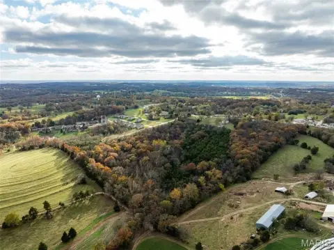
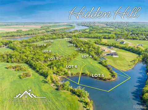
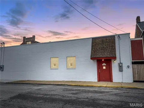
Property Details for 0 Hwy 100 & High St
- Lot size
- 1.00 lot acres
- Property type
- Land
Description
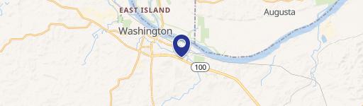
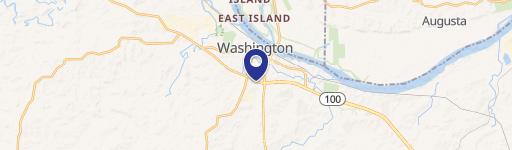
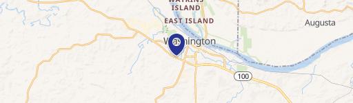
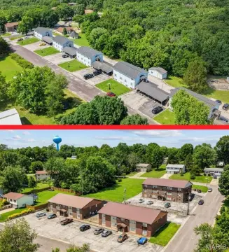
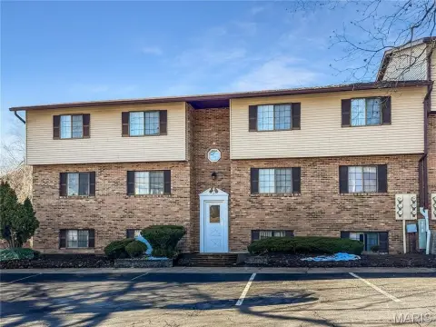
This exceptional land offering, known as Highland Meadows, presents a unique investment opportunity in Washington, Missouri. Located at the intersection of Highway 100 and High Street in Franklin County (zip code 63090), these parcels range from 1 to over 20 acres, providing flexibility for various development projects. The property boasts excellent visibility due to its strategic location along the highly trafficked Highway 100, a main retail corridor serving a substantial trade area. This corridor draws over 150,000 people from a radius exceeding 60 miles southwest to Rolla, making it an ideal location for commercial ventures. The site is part of a new mixed-use development, incorporating a diverse range of amenities. This includes over 300 new residential units, a significant number of apartments (300+), retail spaces, restaurants, and a senior living facility. The residential subtype of this land makes it suitable for a variety of housing developments, complementing the existing mixed-use components. The latitude and longitude coordinates are 38.5443227 and -91.0252649 respectively. This prime location and the surrounding development create a compelling opportunity for investors seeking high-growth potential in a thriving community. The available acreage allows for significant development scale, catering to a wide range of project sizes and visions.
Value Estimations
-
AI approach
-
CAP approach
-
Comparable approach
-
Alternative Use
Location Insight
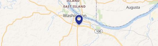
- Map
- Local Demand
- City
- Washington
- County
- Franklin
- State
- Missouri
- Longitude
- -91.0253
- Latitude
- 38.5443