394 Westcor Dr Coralville, IA 52241
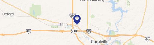
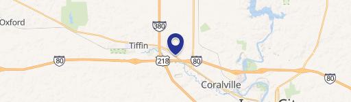
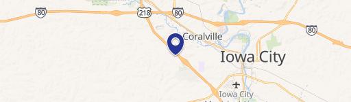
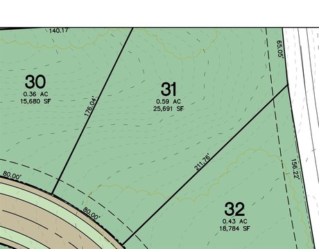
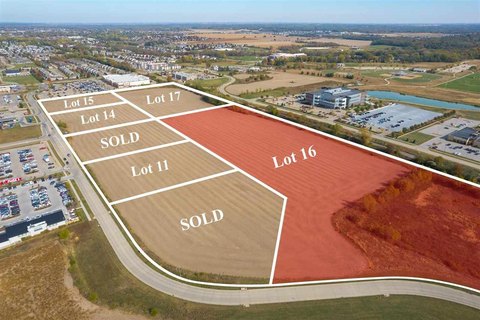
This exceptional 2.66-acre commercial land parcel, located at 394 Westcor Drive in Coralville, Iowa (zip code 52241), presents a rare opportunity for industrial development. Priced at $399,900, this represents a land value of approximately $150,338 per acre. The property is zoned I-PUD1 and boasts high visibility from Interstates 80 and 380, ensuring excellent accessibility and exposure. While previously situated within a floodplain, the front elevation has been raised. However, potential buyers should be aware that additional fill may be required depending on the planned building location(s). Development plans must adhere to the guidelines outlined in the West Land Use Area Plan and receive approval from the City of Coralville. The property's APN is 0635231001
Cap rate
Implied · in-place · derived from last sale + estimated NOIValue
AI, CAP & Alternative Use estimations · Realmo proprietary blendComparables
6 recent transactions · within 1.5 miComparable in this City


Similar Nearby for Sale


Similar Nearby for Lease


Property description
Physical attributes from public recordsZoning & alternative use
No recorded transactions found for this property.
Costs & Benchmarks
Operating expenses, capex projections, utility benchmarks, and submarket comparables — all in one view.
Risks
Flood, climate, environmental, title, and tenant-concentration risk — surfaced with mitigations and source citations.


