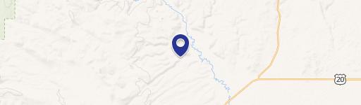
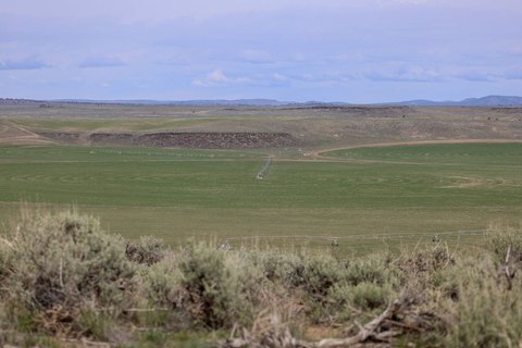
This exceptional 842.26-acre ranch, located approximately 30 miles southeast of Burns, Oregon, in Harney County (zip code 97720), presents a unique investment opportunity. The property, identified as T25S R32 ½E WM Tax Lot 6700, T25S R32E WM Tax Lot 600, offers substantial grazing potential. Historically, the ranch has supported 175 breeding pairs from May to October during normal water years. In addition to grazing, the property has produced up to 100 tons of meadow hay. A significant asset is approximately 1 ½ miles of Silvies River frontage, providing reliable stock water. This property is well-suited for summer grazing and complements additional pasture and hay farm properties available separately. The asking price for this expansive ranch is $2,500,000. This represents a compelling opportunity to acquire a substantial landholding in a desirable location within Eastern Oregon's agricultural landscape. The property's location offers excellent access and is well-positioned for efficient cattle management. The combination of river frontage, grazing capacity, and hay production makes this a highly productive and valuable asset.
Cap rate
Implied · in-place · derived from last sale + estimated NOIValue
AI, CAP & Alternative Use estimations · Realmo proprietary blendComparables
6 recent transactions · within 1.5 miComparable in this City


Similar Nearby for Sale


Property description
Physical attributes from public recordsZoning & alternative use
No recorded transactions found for this property.
Costs & Benchmarks
Operating expenses, capex projections, utility benchmarks, and submarket comparables — all in one view.
Risks
Flood, climate, environmental, title, and tenant-concentration risk — surfaced with mitigations and source citations.


