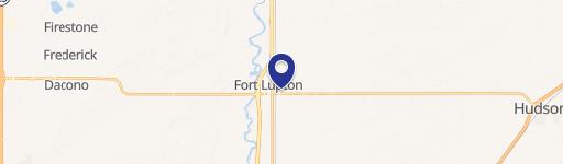
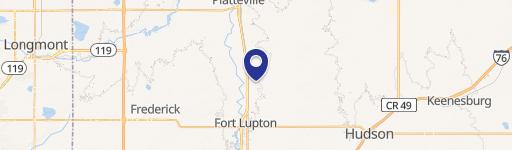
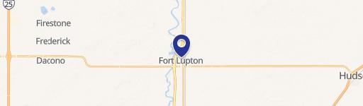
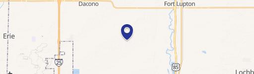
0 Nec Sh-52 & Rollie Ave Fort Lupton, CO 80621
This exceptional 0.437-acre commercial lot is situated at the corner of 2nd Street and Dales Place in Fort Lupton, Colorado, within Weld County (zip code 80621). Located at Nec SH-52 & Rollie Avenue, Lot 2, this property is priced at $266,616, representing a land value of $14 per square foot. The lot is part of a larger development featuring five remaining pad sites ranging in size from 0.43 to 2.89 acres. All lots are zoned commercial, fully entitled, and prepared for immediate construction. Development fees are low, and water fees are reasonable. This location benefits from being within a Colorado Enterprise Zone, offering potential income tax credits for eligible businesses. Fort Lupton enjoys a strategic position at the intersection of US 85 and SH 52, providing convenient access to the Front Range, major commercial centers, and Denver International Airport. SH 52, a major east-west arterial, connects Fort Lupton to Boulder and I-76, serving as a sub-regional hub connecting to several nearby communities. This prime location and the ready-to-build status make this an exceptional opportunity for commercial development.
Cap rate
Implied · in-place · derived from last sale + estimated NOIValue
AI, CAP & Alternative Use estimations · Realmo proprietary blendComparables
6 recent transactions · within 1.5 miComparable in this City


Similar Nearby for Sale


Similar Nearby for Lease


Property description
Physical attributes from public recordsZoning & alternative use
No recorded transactions found for this property.
Costs & Benchmarks
Operating expenses, capex projections, utility benchmarks, and submarket comparables — all in one view.
Risks
Flood, climate, environmental, title, and tenant-concentration risk — surfaced with mitigations and source citations.


