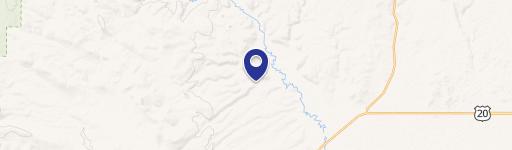
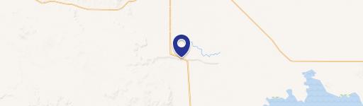
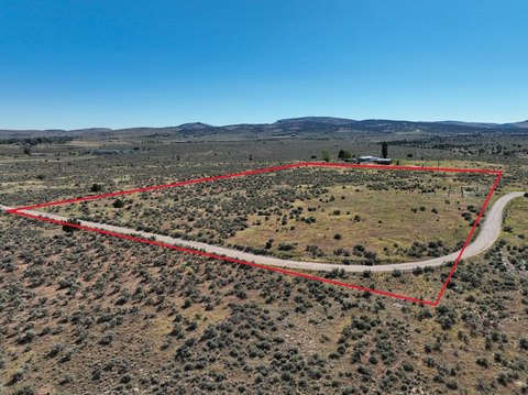
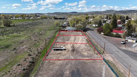
This exceptional 512.95-acre Eastern Oregon property presents a unique recreational and investment opportunity. Situated approximately 20 miles north of Burns, near the confluence of Emigrant Creek and the Silvies River, this land boasts roughly 2.5 miles of Silvies River frontage. The diverse terrain includes rimrock, willows, pine trees, and open meadows, creating a thriving habitat for elk and deer. The Silvies River offers excellent trout fishing. The property is fully fenced and cross-fenced, suitable for cattle grazing. It qualifies for two landowner preference (LOP) elk and deer tags annually, and is surrounded by thousands of acres of public land within the Silvies Hunting Unit. Comprised of four separate tax lots, this property offers potential for multiple dwellings. This secluded retreat provides unparalleled access to outdoor recreation and abundant wildlife, making it an ideal escape. The property is located in Harney County, Oregon, zip code 97720, with the address listed as T21S R29E WM Sec 02 TL 300T21S R29E WM TL 200, 600, 1200, Burns, Lawen.
Cap rate
Implied · in-place · derived from last sale + estimated NOIValue
AI, CAP & Alternative Use estimations · Realmo proprietary blendComparables
6 recent transactions · within 1.5 miComparable in this City


Similar Nearby for Sale


Property description
Physical attributes from public recordsZoning & alternative use
No recorded transactions found for this property.
Costs & Benchmarks
Operating expenses, capex projections, utility benchmarks, and submarket comparables — all in one view.
Risks
Flood, climate, environmental, title, and tenant-concentration risk — surfaced with mitigations and source citations.


