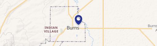
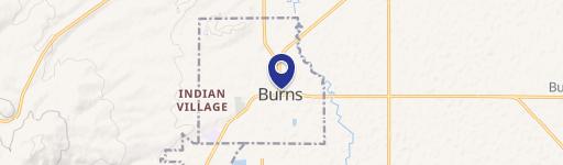
T24S Tl 3100 Harney, OR 97720
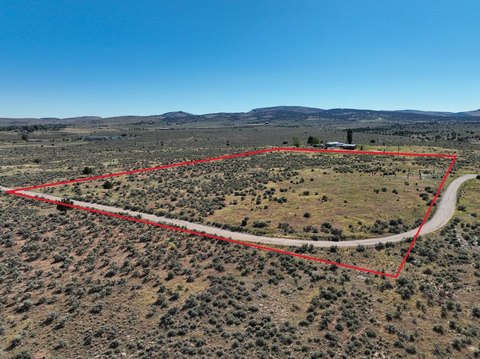
This exceptional 205-acre commercial land parcel presents a unique opportunity in Eastern Oregon's high desert. Located approximately 15 minutes southeast of Burns, Oregon, this property offers convenient access via Highway 78 and county roads. The land is currently divided into three roughly equal parcels (205+/- acres each), facilitating potential development. Perimeter fencing encloses the entire acreage, which was recently planted with triticale hay. Existing wells and power sources are located throughout the property, providing multiple potential homesites. Tax lot maps show the property as T24S R30E W.M. SEC 9 & 16 TL 3100, with a total deeded acreage of 614.86+/- acres (across the three parcels). The current tax assessment is $2,386.65 per parcel, subject to change following the partition. Utilities include power and wells
Cap rate
Implied · in-place · derived from last sale + estimated NOIValue
AI, CAP & Alternative Use estimations · Realmo proprietary blendComparables
6 recent transactions · within 1.5 miComparable in this City


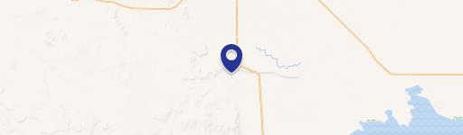
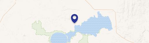
Similar Nearby for Sale


Property description
Physical attributes from public recordsZoning & alternative use
No recorded transactions found for this property.
Costs & Benchmarks
Operating expenses, capex projections, utility benchmarks, and submarket comparables — all in one view.
Risks
Flood, climate, environmental, title, and tenant-concentration risk — surfaced with mitigations and source citations.


