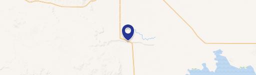
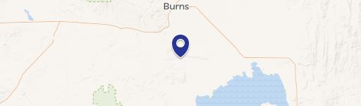
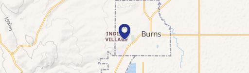
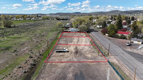
0 Sunset Vly Rd Burns, OR 97720
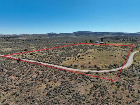
This exceptional 279.48-acre commercial land parcel presents a unique investment opportunity in Harney County, Oregon. Situated between Dog Mountain Lane and Sunset Valley Road, south of Burns, this expansive property is conveniently located approximately 15 minutes from town. The land is primarily deeded, encompassing almost 280 acres, and includes an additional 200 acres of state-leased land, ideal for cattle grazing. Existing fencing surrounds much of the perimeter, providing containment for livestock. The property's buildable status opens doors for diverse development possibilities, complementing its agricultural potential. Furthermore, the land qualifies for two landowner preference (LOP) tags, adding significant value for hunting enthusiasts. This substantial acreage offers a blend of agricultural utility and development potential, making it an attractive investment in Eastern Oregon's thriving landscape. The property is located at Sunset Valley Rd, Burns, OR 97720. The asking price for this remarkable property is $205,000.
Cap rate
Implied · in-place · derived from last sale + estimated NOIValue
AI, CAP & Alternative Use estimations · Realmo proprietary blendComparables
6 recent transactions · within 1.5 miComparable in this City


Similar Nearby for Sale


Property description
Physical attributes from public recordsZoning & alternative use
No recorded transactions found for this property.
Costs & Benchmarks
Operating expenses, capex projections, utility benchmarks, and submarket comparables — all in one view.
Risks
Flood, climate, environmental, title, and tenant-concentration risk — surfaced with mitigations and source citations.


