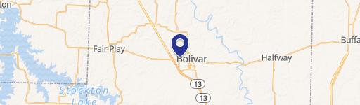
0 Mt Gilead Rd Bolivar, MO 65613
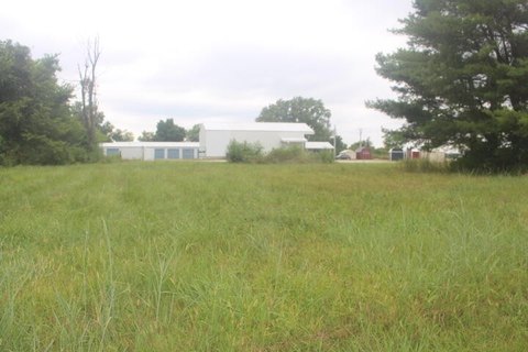
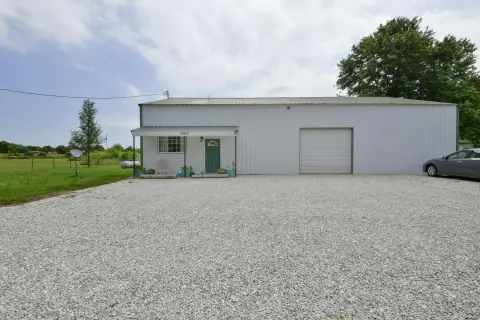
This ±62-acre commercial and industrial land parcel presents a significant investment opportunity in Bolivar, Missouri. Strategically located at the southeast corner of South Springfield Avenue and Mt. Gilead Drive, this property enjoys exceptional visibility and accessibility. The site is conveniently situated just north of the Highway 13 and Highway 83 intersection, providing easy access to major transportation routes. Zoned for General Commercial District (C-2), the property offers a wide range of development possibilities. Utilities are already on-site, simplifying the development process. The seller will retain approximately 3 acres on the northwest corner of the surveyed lot. The property's location offers significant advantages, with proximity to Walmart and numerous restaurants and stores within walking distance. The property's APN is 89-11-0.6-13-000-000-035.00. This expansive tract of land presents a rare opportunity for businesses seeking a high-visibility location with convenient access to major roadways and established amenities in a thriving community. The asking price is $4,495,000.
Cap rate
Implied · in-place · derived from last sale + estimated NOIValue
AI, CAP & Alternative Use estimations · Realmo proprietary blendComparables
6 recent transactions · within 1.5 miComparable in this City


Similar Nearby for Sale


Similar Nearby for Lease
Property description
Physical attributes from public recordsZoning & alternative use
No recorded transactions found for this property.
Costs & Benchmarks
Operating expenses, capex projections, utility benchmarks, and submarket comparables — all in one view.
Risks
Flood, climate, environmental, title, and tenant-concentration risk — surfaced with mitigations and source citations.


