Commercial Real Estate Market in Council, ID
Updated monthly: sale, lease, property records, location trend, and more… · Last update: September 30
53 active listings and 81 off-market properties in Council, ID.
Market Trends
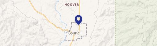
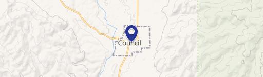
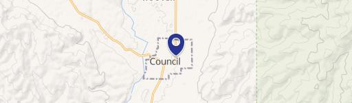
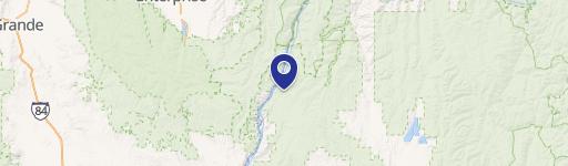
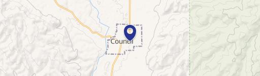
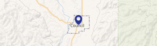
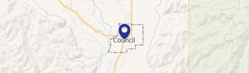
Council, ID spans 497.2 square miles in Adams County, Idaho. Figures below refresh monthly; last updated 30 September 2026.
Office
Office vacancy in Council, ID runs 20.8% across the West region in 2025, up from 11% in 2019.
Vacancy Rate % in West region
Retail
Retail vacancy in Council, ID runs 5.8% across the West region in 2025, down from 7% in 2020.
Vacancy Rate % in West region
Industrial
Industrial vacancy in Council, ID runs 7.9% across the West region in 2025, up from 3.7% in 2019. Nearly 3.2x the 2022 low of 2.5%.
Vacancy Rate % in West region
Multifamily
Multifamily vacancy in Council, ID runs 8.6% across the West region in 2025, up from 7% in 2022.
Vacancy Rate % in West region
Zoning & Land Use
Land Use Mix share of zoned land by category
- Industrial 77.9%
Largest Zones share of zoned land by district
Residence Bit District
No Zoning
Industrial
Residence A District
Commercial
Council, ID zones 692 acres across 6 districts. The largest single district is Residence Bit District at 29.7%. For commercial buyers the practical constraint is that only 77.9% of land carries a commercial or industrial designation.
Residence Bit District (R-BIT)
The purpose of the Residential zone is to provide areas for residential neighborhoods containing single and multi family dwellings, and to protect those uses from conflicts and nuisances arising from commercial and industrial activities
Market overview
Demographics & Economy
Council, ID has 2,162 residents in 1,198 households. Density runs 4 people per square mile. Median household income here is $52,917 and median gross rent $811 a month.
2,162
Population
1,198
Households
1.8
Avg Household Size
55
Median Age
17%
College-Educated
90%
High-School Grad
497.2 sq mi
ZIP Area
4
Density / Sq Mi
$52,917
Median Household Income
$30,987
Median Earnings
$811
Median Rent
$259,700
Median Home Value
Tools

Frequently Asked Questions
What is the average price per square foot for commercial property in Council?
Commercial property in Council, ID asks an average of $20 per square foot.
What zoning applies to commercial property in Council?
Council, ID zones 692 acres across 6 districts, of which 0% is commercial and 77.9% industrial. The largest single district is Residence Bit District at 29.7% of zoned land. The purpose of the Residential zone is to provide areas for residential neighborhoods containing single and multi family dwellings, and to protect those uses from conflicts and nuisances arising from commercial and industrial activities Residential zoning covers 0% and open space 0%.
Where does Realmo's Council market data come from?
Realmo compiles Council, ID figures from 53 active sale listings, 81 tracked off-market properties, the current Council zoning release. Sale and lease figures refresh monthly; vacancy annually. Last updated 30 September 2026.
Methodology & data sources
- Asking prices and averages
- Computed from 53 active for-sale and 0 active for-lease listings in Council, ID. These are ASKING figures from live listings, not closed-transaction prices, and a segment carried by a handful of listings reads as indicative rather than an average.
- Vacancy rates
- Published per-sector market series, taken at the metro level where one exists and otherwise at the Census-region level — a chart reading "in <region> region" is a regional number, not this city's.
- Zoning and land use
- The current municipal zoning release: 692 zoned acres across 6 districts. Shares are of zoned land, so parcels the release leaves unclassified are excluded from the mix.
- Refresh
- The monthly aggregates close at the end of the previous month, so 30 September 2026 — not today — is the honest last update.
- Known limitations
- office vacancy is reported at West region level, retail vacancy is reported at West region level and industrial vacancy is reported at West region level.
- Coverage
- Metrics below the 10-observation threshold fall back one geographic level. The geography used is named on each figure.
Compiled by the Realmo Data team · reviewed 30 September 2026 · report a data issue
