Secluded Recreational Hunting
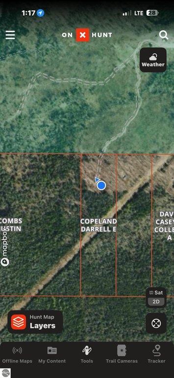
For Sale
$70,000
V/L Third Road, Kalkaska, MI 49646
LAND - Kalkaska, MI
Property Size575 SF
Lot Size10.00 Acres
Price / SF$121.74
Days on Market77
Property Features for V/L Third Road
General Information
Property type
Land
Property subtype
Other
Zoning
Metes and Bounds,Outbuild
Zoning description
Metes and Bounds, Outbuildings Allowed
Exterior features
Countryside View
Lot features
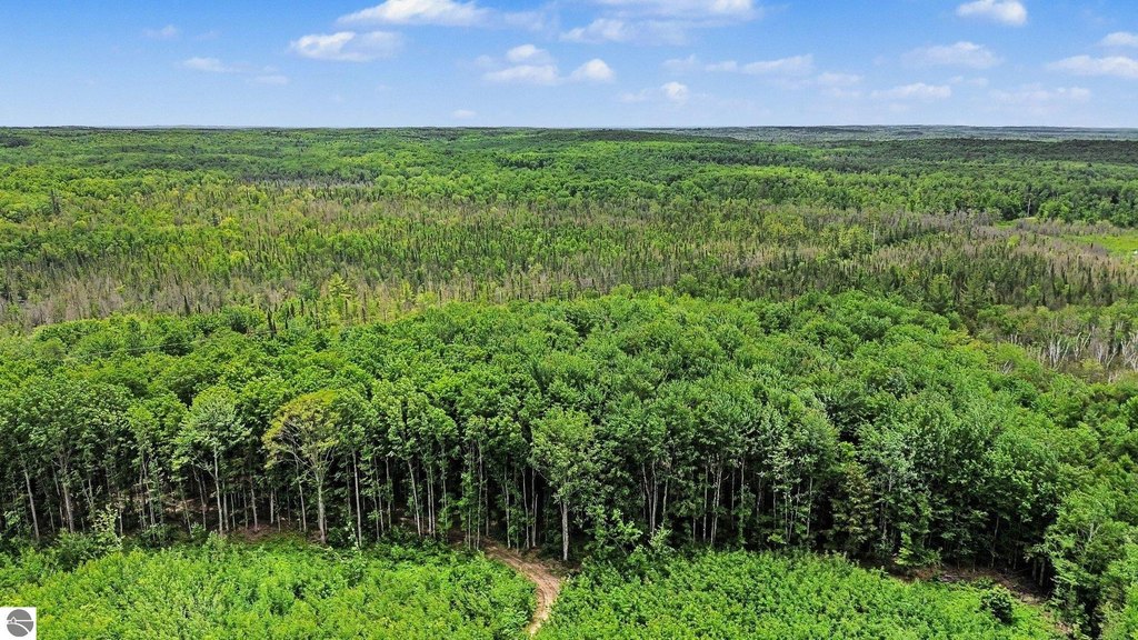
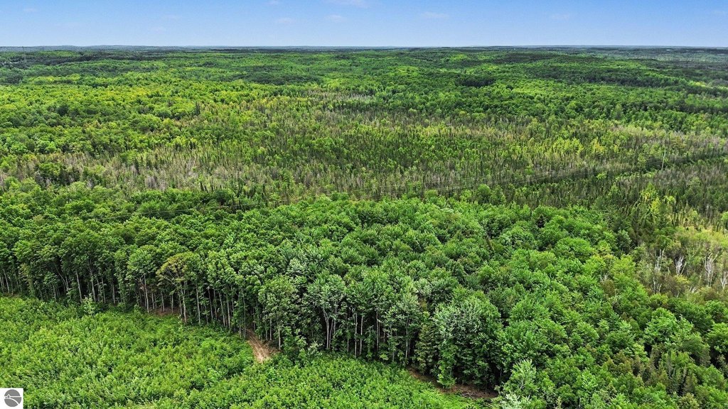
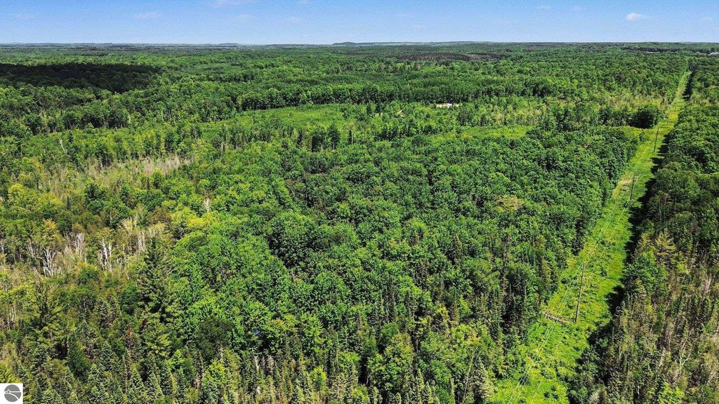
Rolling, Wooded, Joins State/ Federal Land, Rolling, Wooded, Joins State/ Federal Land
Elementary school district
Kalkaska Public Schools
Middle school district
Kalkaska Public Schools
High school district
Kalkaska Public Schools
Directions
Co Rd 571 to Wood Rd (don't take the 2 track) to Third Rd follow past the gas well. There is a blue arrow on the tree that is the driveway.
Subdivision
Kalkaska
Standard status
Active
Lot size
10.00 Acres
Taxes and HOA fees
Tax Description
COMM AT THE E 1/4 POST SEC 30 T28N-R6W TH N 89 DEG 59'28"W ON THE 1/4 LI 995.7 FT TO POB TH N 89 DEG 59'28"W 331.9 FT TH S 0 DEG 27'25"W 1325.7 FT TH S 89 DEG 45'3"E 331.45 FT TH N 0 DEG 28'35"E 1327.23 FOR POB BEING PART OF THE NE 1/4 OF THE SE 1/4 SEC 3
Legal Description
COMM AT THE E 1/4 POST SEC 30 T28N-R6W TH N 89 DEG 59'28"W ON THE 1/4 LI 995.7 FT TO POB TH N 89 DEG 59'28"W 331.9 FT TH S 0 DEG 27'25"W 1325.7 FT TH S 89 DEG 45'3"E 331.45 FT TH N 0 DEG 28'35"E 1327.23 FOR POB BEING PART OF THE NE 1/4 OF THE SE 1/4 SEC 3
Listing Agency:
Real Estate One Gaylord
(989) 448-8209
Listed By:
Melisa Bertram
(231) 409-7512
Added: Jun 20
Changed: Jul 8
Last Checked: Sep 4 at 10:06AM
MLS# 1946924
Copyright © 2026 Northern Great Lakes Realtors MLS. All rights reserved. All information provided by the listing agent/broker is deemed reliable but is not guaranteed and should be independently verified.
Investment Insights
Based on property information with market context.
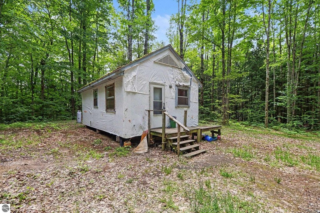
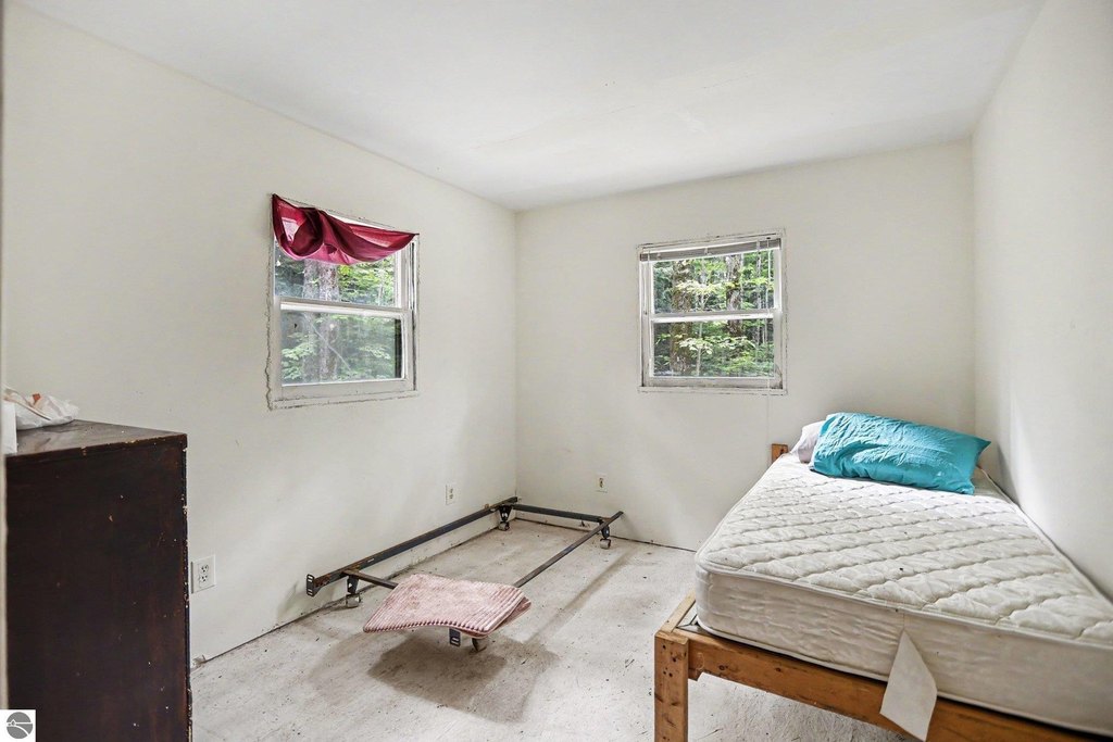
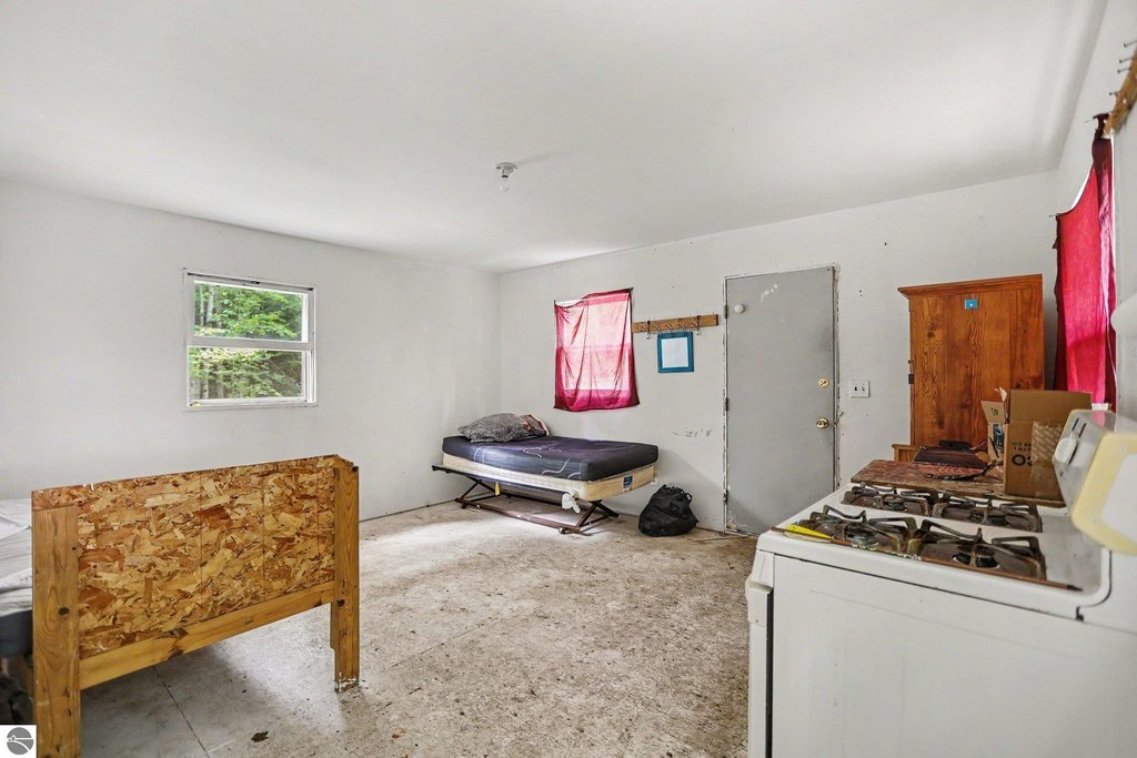
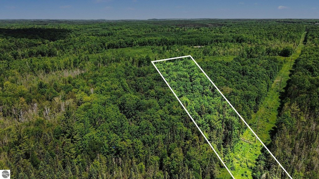
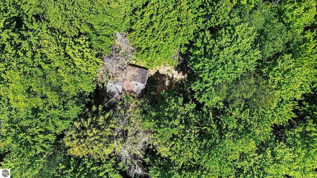
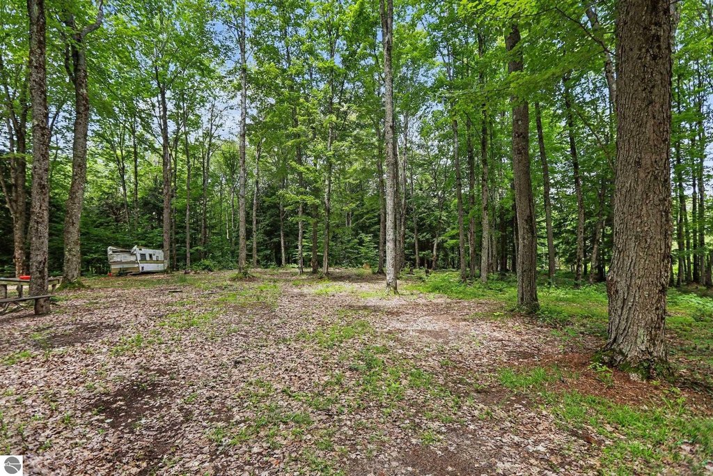
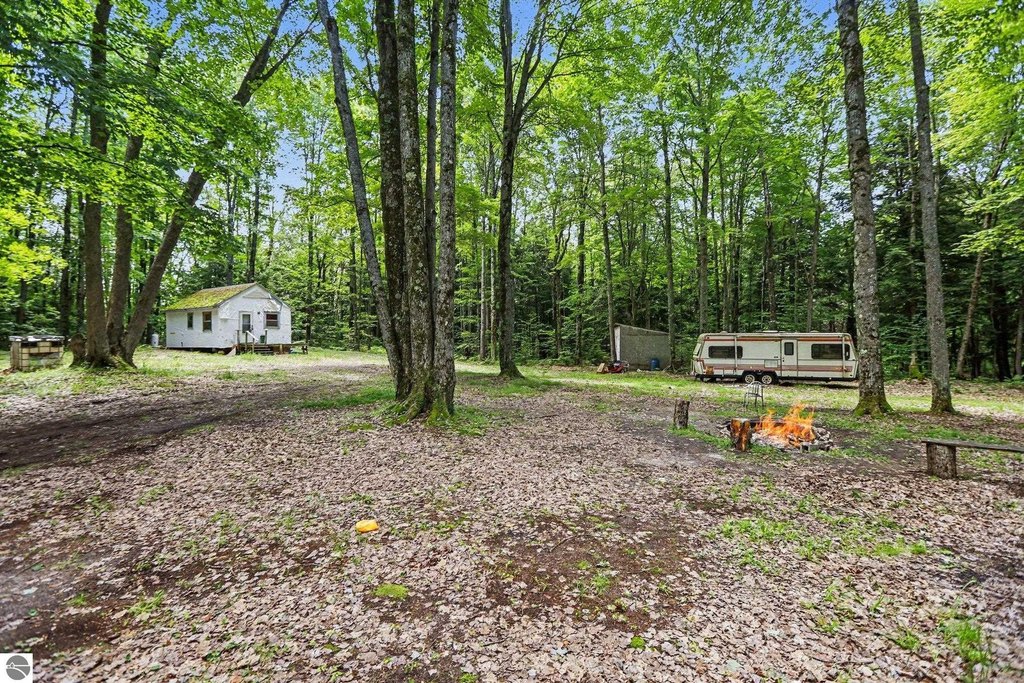
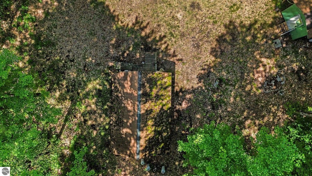
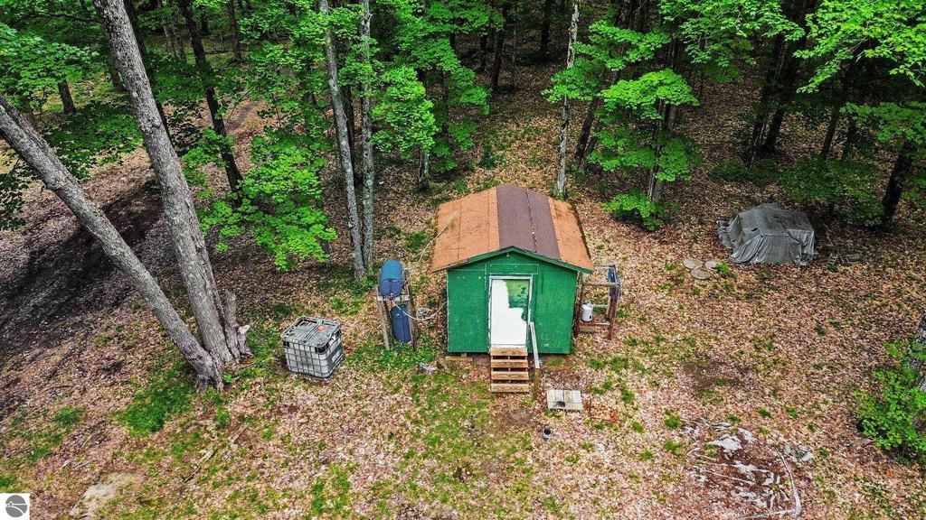
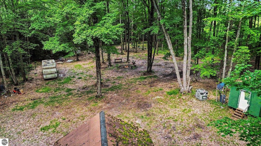
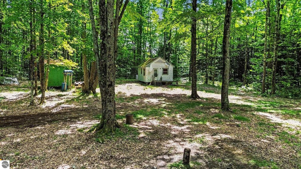
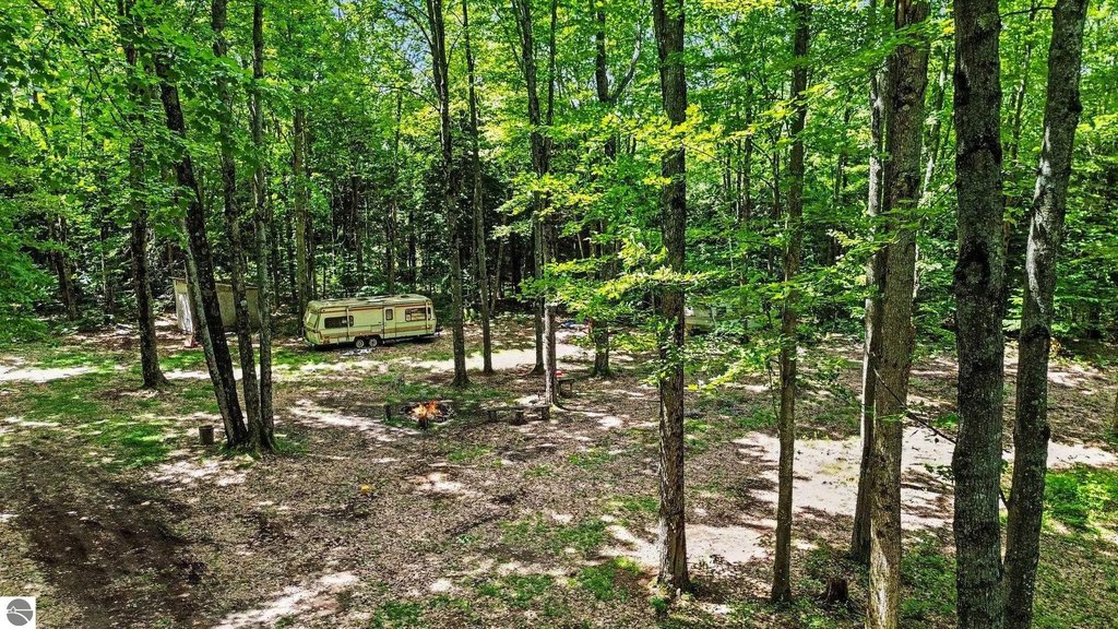
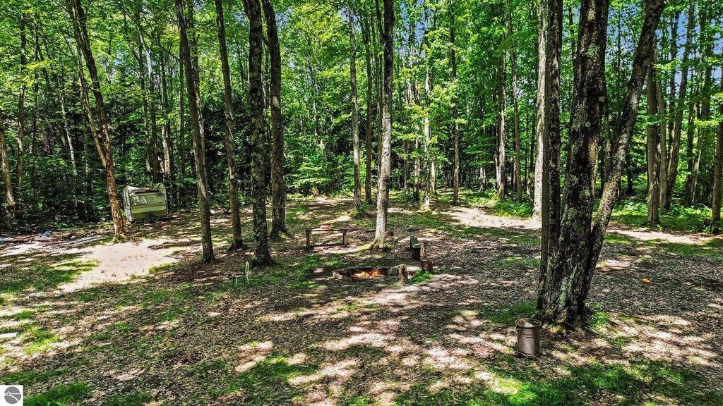
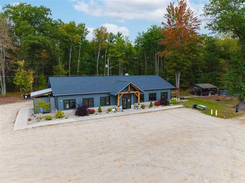
This offering is 10 secluded acres suited for outdoor recreation and hunting. The property includes a 575 sq. ft. cabin that is wired for electricity and currently powered by a generator. A detached bathhouse is also on site with potable water, and a septic system is already in place.
The land borders state land, providing direct access to hundreds of acres of recreation and hunting territory. The diverse landscape includes a cedar swamp that supports wildlife habitat.
For buyers looking to establish a hunting camp or weekend retreat, the existing cabin, bathhouse with potable water, and in-place septic system provide immediate on-site functionality. With its adjacency to state land and the wooded, secluded setting, the property is designed to support extended time outdoors with direct access to surrounding public recreation acreage.
The land borders state land, providing direct access to hundreds of acres of recreation and hunting territory. The diverse landscape includes a cedar swamp that supports wildlife habitat.
For buyers looking to establish a hunting camp or weekend retreat, the existing cabin, bathhouse with potable water, and in-place septic system provide immediate on-site functionality. With its adjacency to state land and the wooded, secluded setting, the property is designed to support extended time outdoors with direct access to surrounding public recreation acreage.
Key Highlights
- 10 secluded acres bordering state land with direct access to hundreds of acres for recreation and hunting
- 575 sq. ft. cabin wired for electricity and currently powered by a generator
- Detached bathhouse with potable water
Property Analytics
Current Use
Location Intelligence
Demographics for 49646, MI
8,582
Population
5,652
Households
1.5
Avg Household Size
45
Median Age
15%
College-Educated
89%
High-School Grad
219.3 sq mi
ZIP Area
39
Density / Sq Mi
$55,188
Median Household Income
$34,834
Median Earnings
$712
Median Rent
$167,500
Median Home Value

Questions? Ask Rey
Realmo’s AI knows this listing — price, zoning, demand, history. Ask anything.




Frequently Asked Questions
What type of property is this?
Hunting land - 10 acres with a cabin, bathhouse, septic, and potable water for a private hunting camp setup.
Where is this hunting land located?
The property is located at V/L Third Road Kalkaska, MI.
What is the asking price?
The asking price for this property is $70,000.
What are key features of this property?
This property features: 10 secluded acres bordering state land with direct access to hundreds of acres for recreation and hunting; 575 sq. ft. cabin wired for electricity and currently powered by a generator; Detached bathhouse with potable water