Commercial Development Land
S State Road 109 Knightstown, IN 46148
For Sale
$499,000
LAND - Knightstown, IN
Lot Size5.30 Acres
Days on Market255
Property Features for S State Road 109
General Information
- Property type
- Land
- Property subtype
- Other
- Zoning
- Agricultural
- Standard status
- Active
- APN
- 331617000201002029
- Lot size
- 5.30 Acres
Taxes and HOA fees
- Tax Year
- 2025
- Tax Description
- Pt Nw1/4 & Ne1/4 17-16-9 134.008A
Utilities
- Sewer type
- Septic Needed
Listing Agency:
Highgarden Real Estate
(317) 205-4320
Listed By:
Albert Stancato · License #RB16000255
(317) 280-4663
Added: Nov 13, 2025
Changed: Jun 16
Last Checked: Jul 26 at 1:06PM
MLS# 22073511
Copyright © 2026 MIBOR Service Corporation. All rights reserved. All information provided by the listing agent/broker is deemed reliable but is not guaranteed and should be independently verified.
Investment Insights
Based on property information with market context.
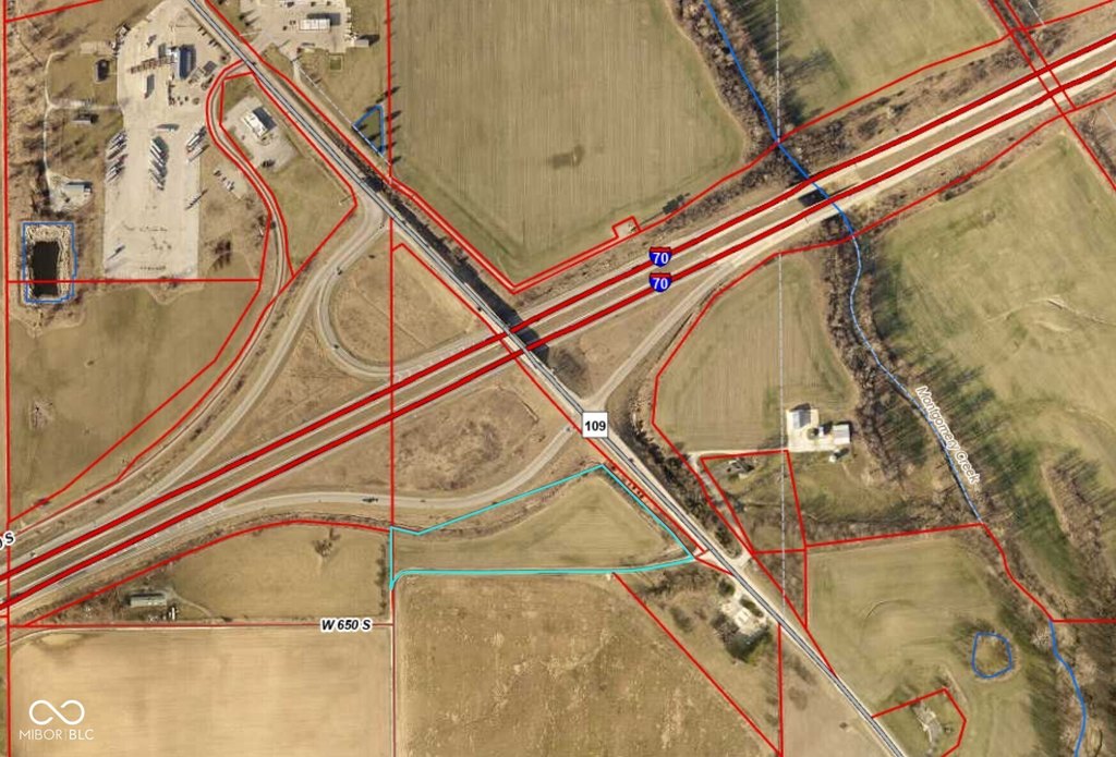
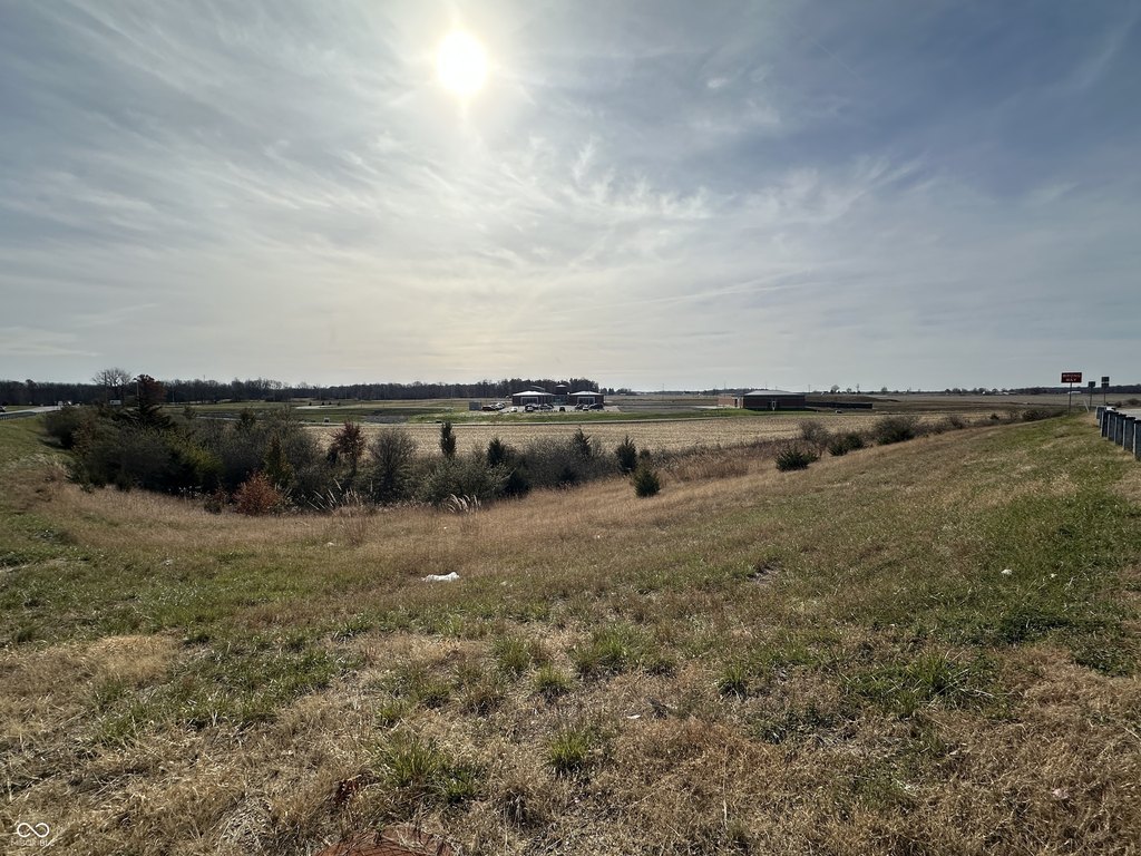
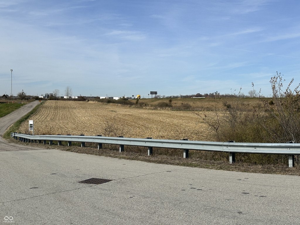
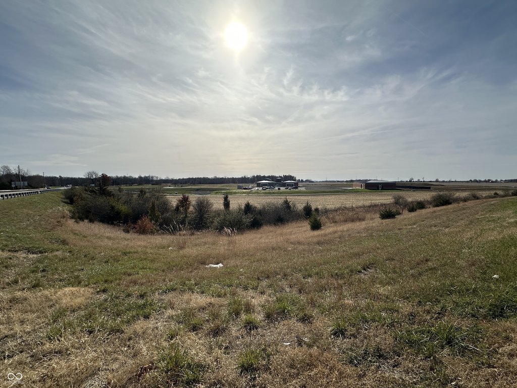
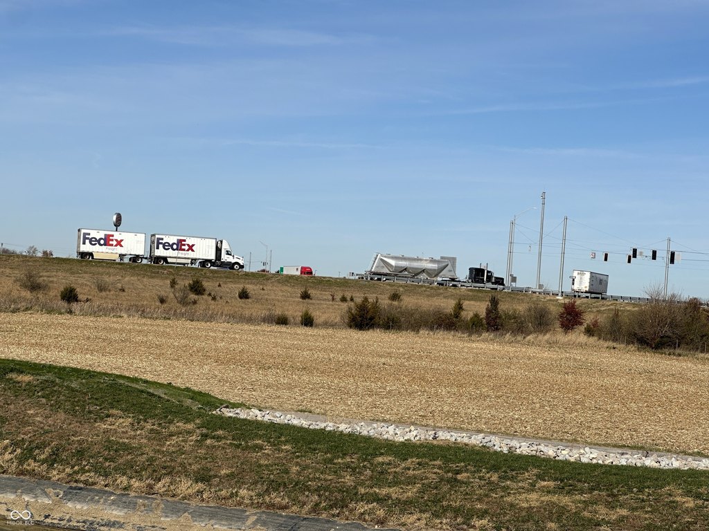
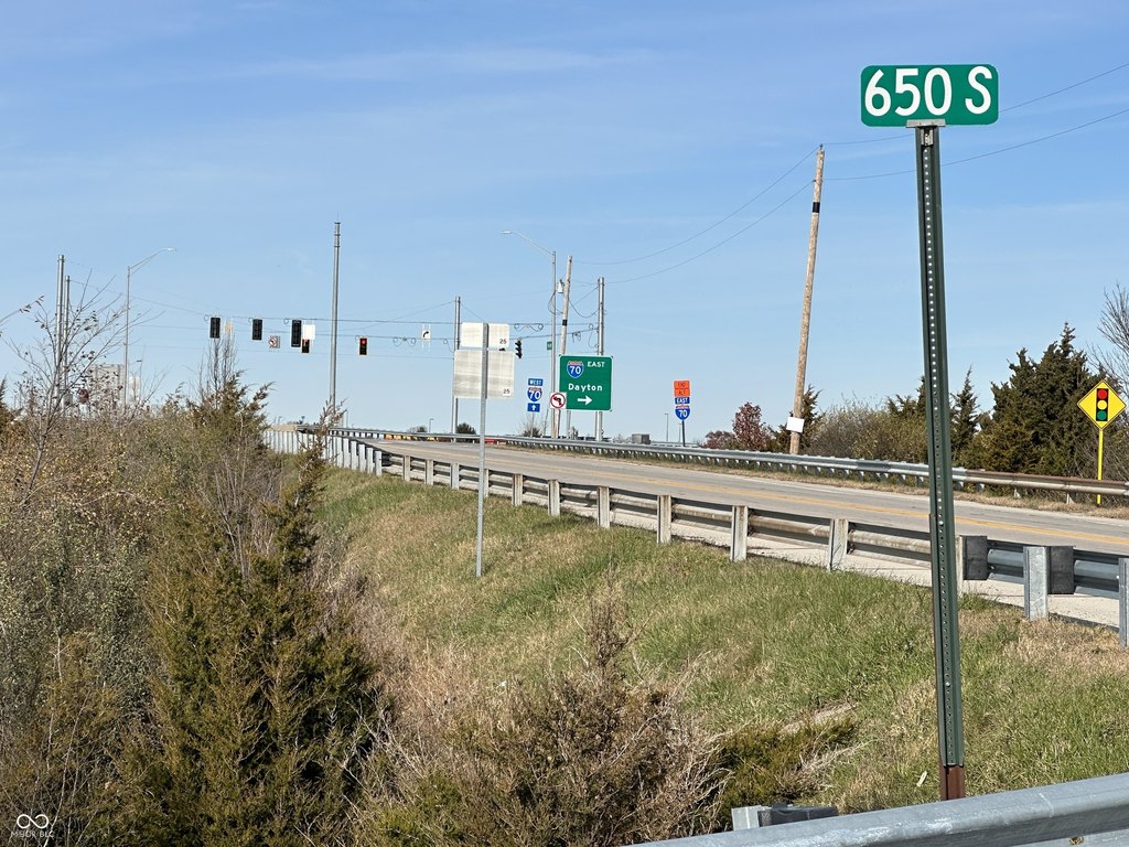
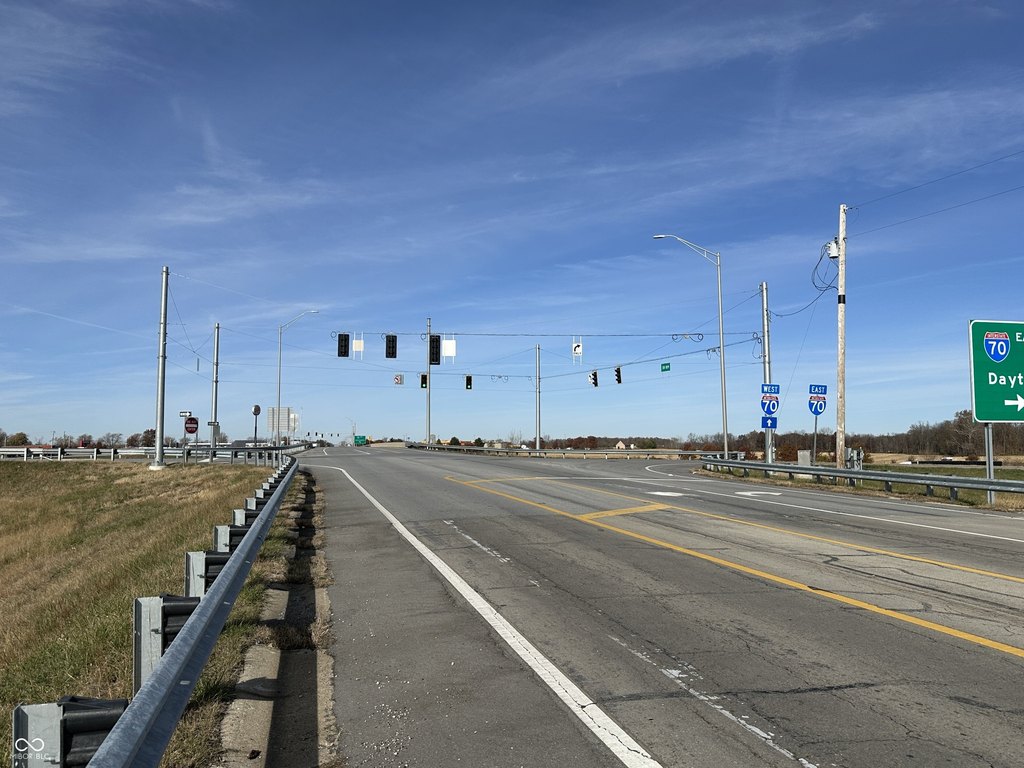
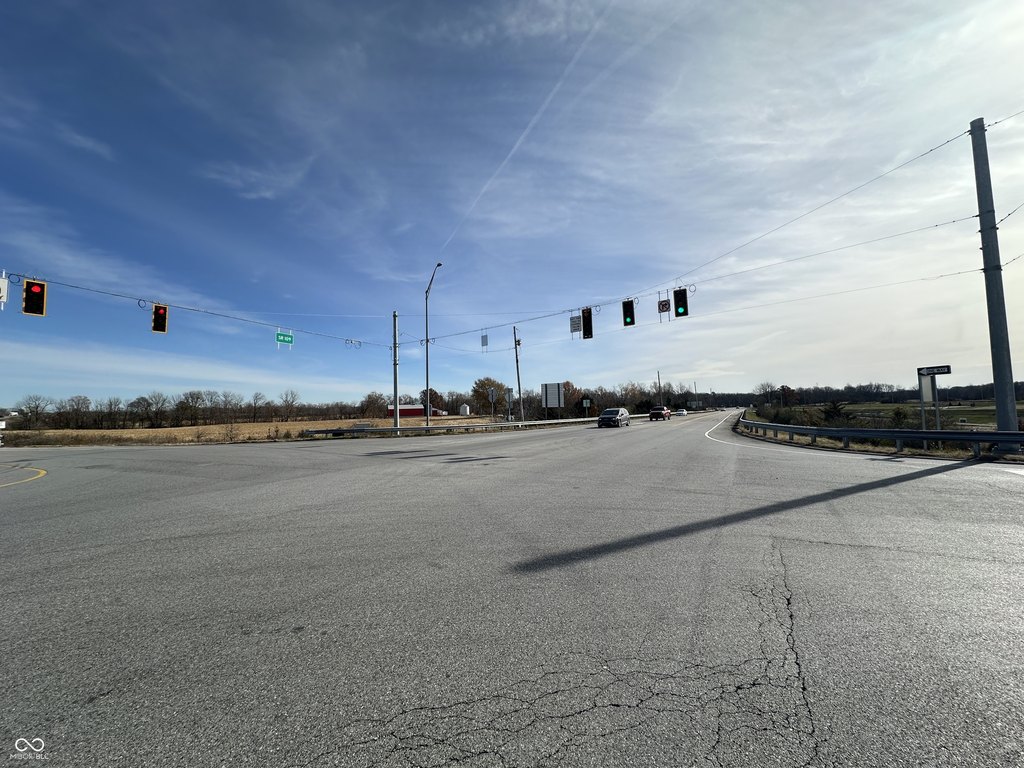
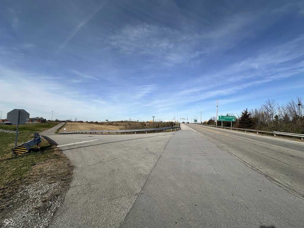
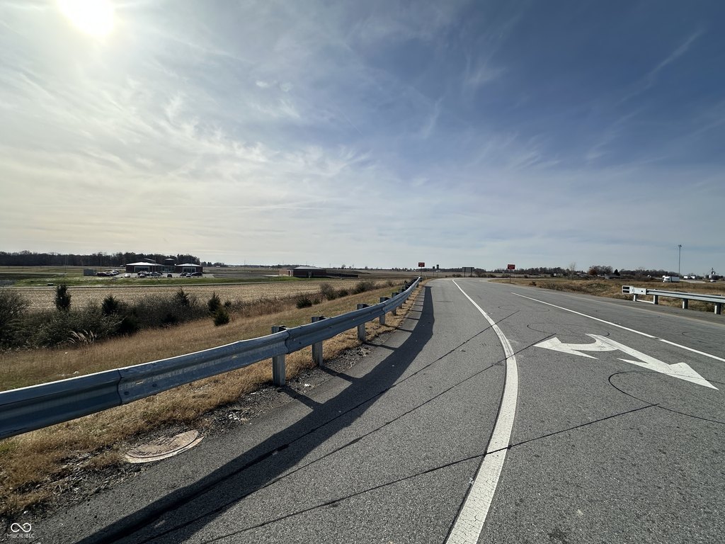
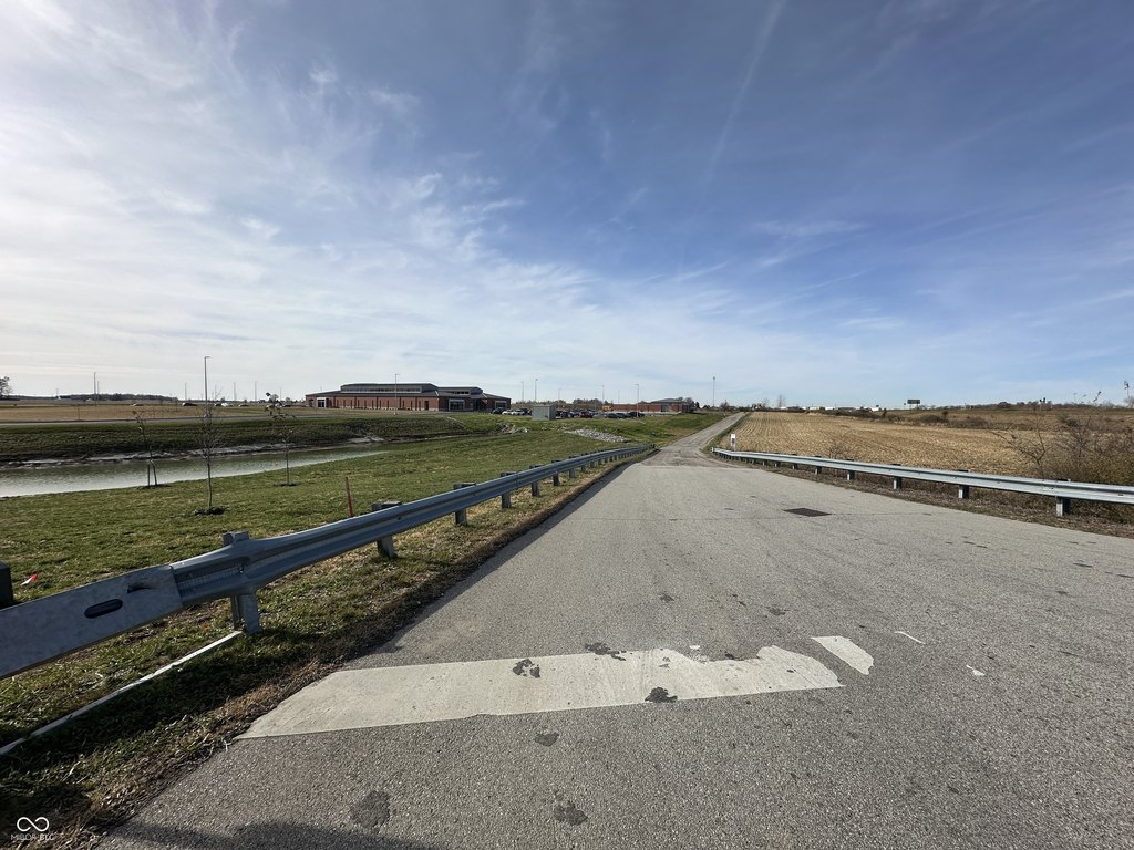
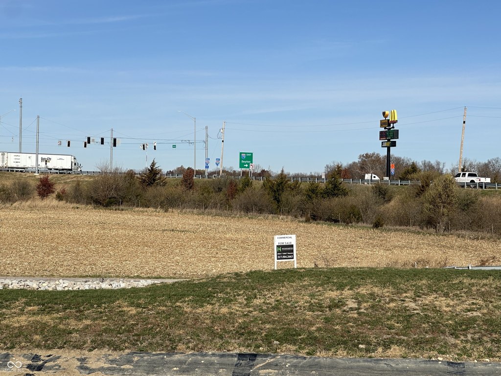
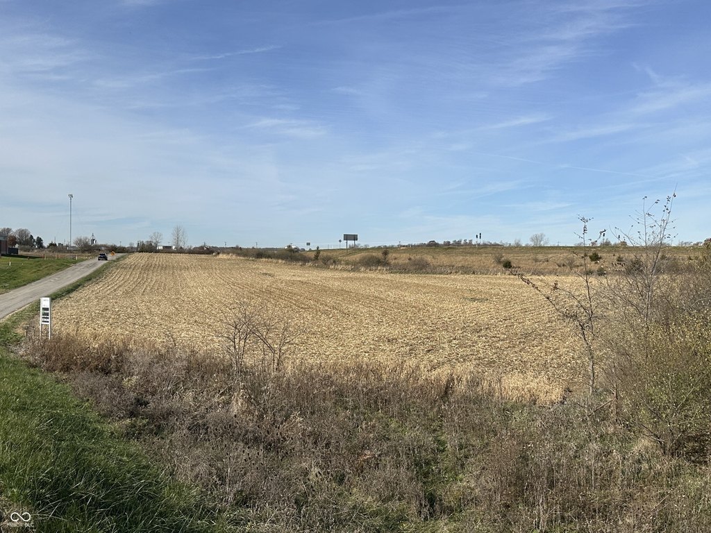
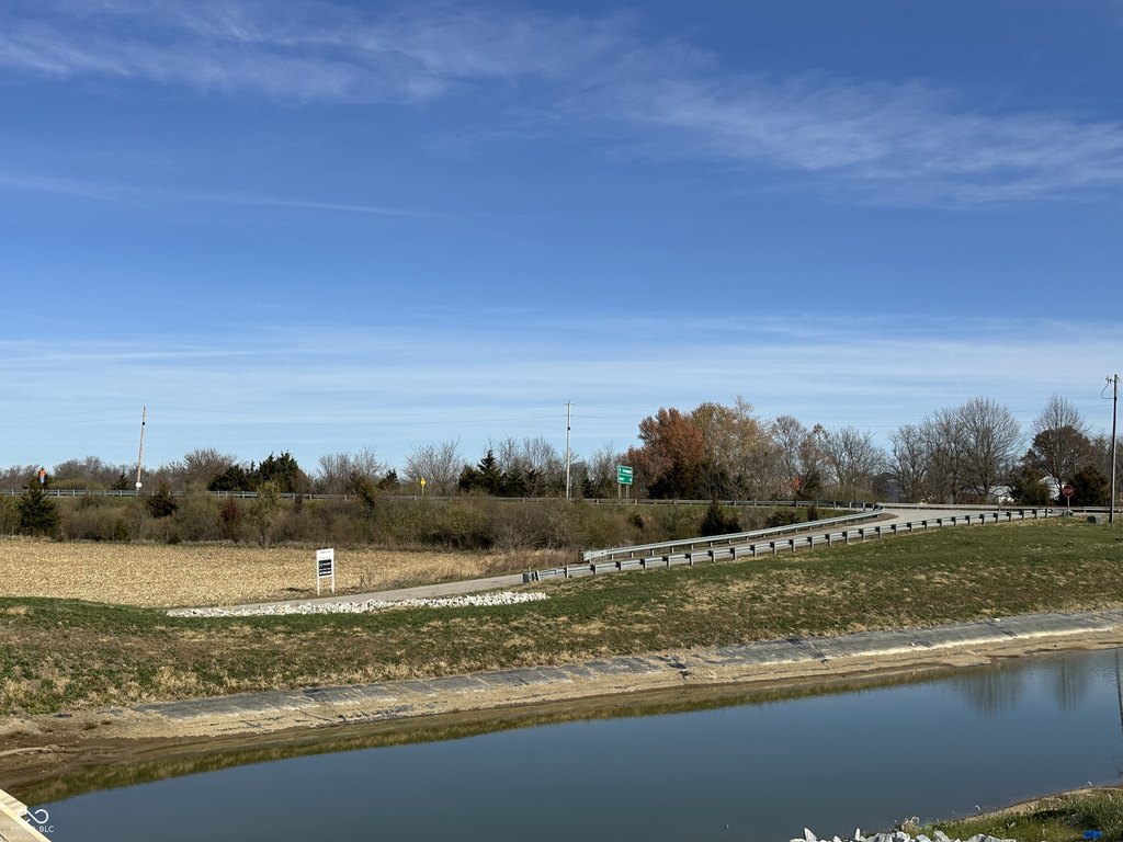
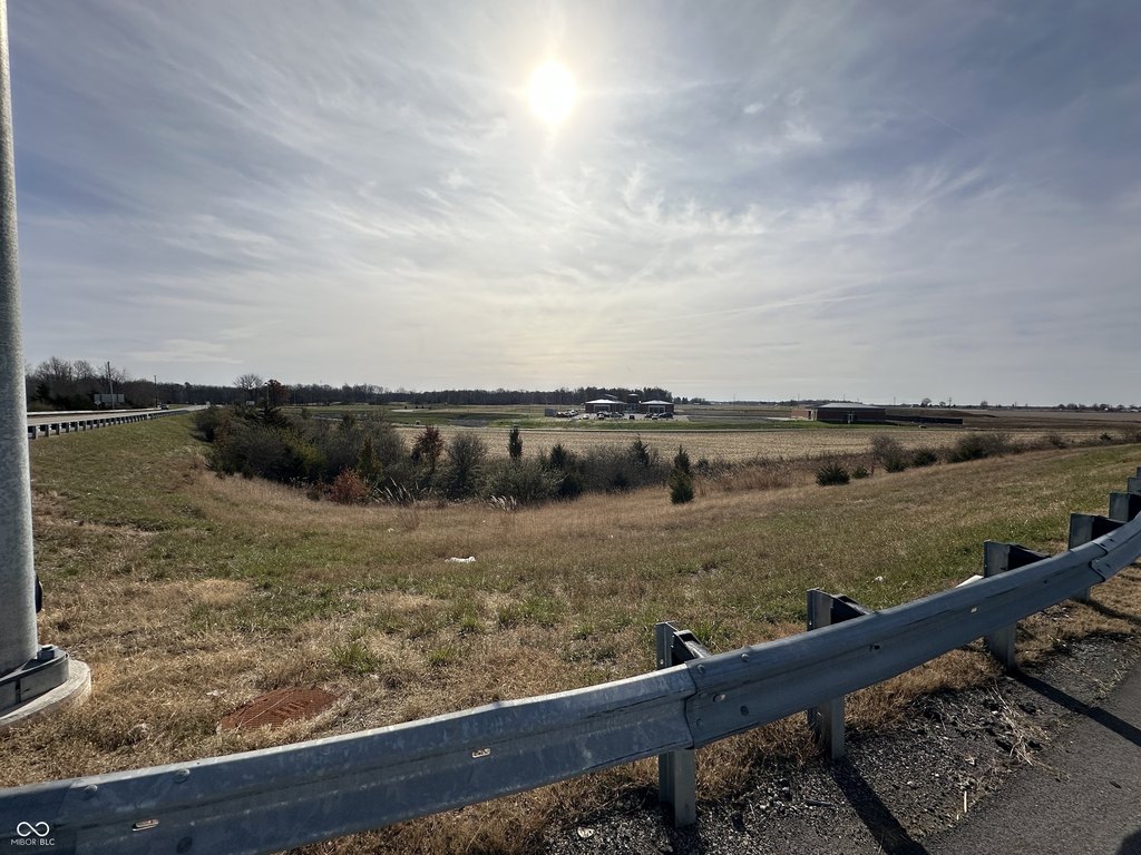
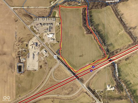
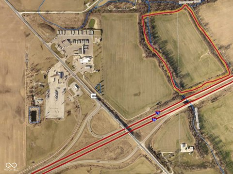
This offering is a cleared 5.3-acre commercial development parcel with direct access from an I-70 westbound exit ramp. The site is being sold as a stand-alone lot and is part of a larger 134-acre tract owned by the seller, with subdivision available for multiple buyers. The property will require rezoning from its current Agricultural zoning for commercial use.
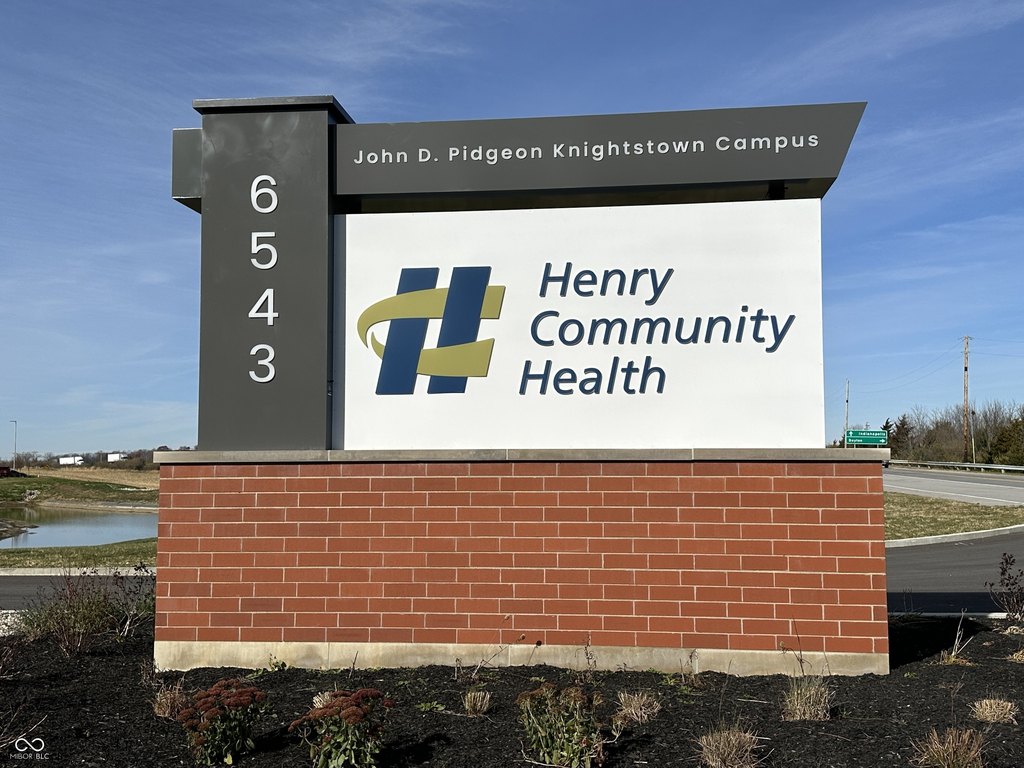
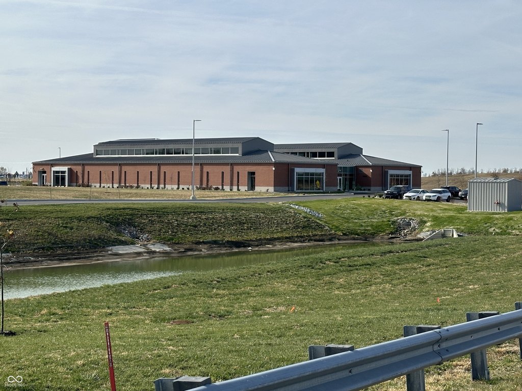
The parcel is located at S State Road 109 in Knightstown, Indiana. Based on the description, it is positioned independently off the westbound exit ramp, providing visibility from Interstate 70 and proximity to a new Henry County Community Health Facility.
Given its cleared condition and roadside positioning, the land is presented as a fit for uses such as a fast food restaurant, gas station, convenience store, or similar road-oriented business, subject to receiving commercial zoning approvals. Utilities are not listed as installed; the remarks indicate the need for a septic system and well installation to support development.
Key Highlights
- Cleared 5+ acre parcel for commercial development off the I‑70 westbound exit ramp
- Direct access from the I‑70 westbound exit ramp and exposure from I‑70 and State Road 109
- Septic needed; utilities will require installation of a septic system and well
Property Analytics
Property Profile
Location Intelligence
Current Use by Public Records
Commercial land


FAQs
What type of property is this?
Commercial land - Cleared 5.3-acre parcel off an I-70 westbound exit ramp, suited for roadside commercial use pending zoning approval.
Where is this commercial land located?
The property is located at S State Road 109 Knightstown, IN.
What is the asking price?
The asking price for this property is $499,000.
What are key features of this property?
This property features: Cleared 5+ acre parcel for commercial development off the I‑70 westbound exit ramp; Direct access from the I‑70 westbound exit ramp and exposure from I‑70 and State Road 109; Septic needed; utilities will require installation of a septic system and well