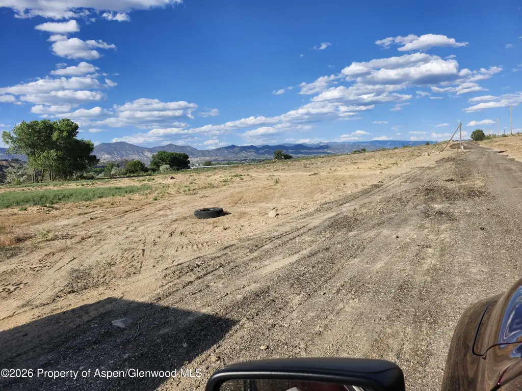
Developing Resource Zoned
Snyder Subdivision Rifle, CO 81650
For Sale
$525,000
LAND - Rifle, CO
Lot Size9.55 Acres
Days on Market52
Property Features for Snyder Subdivision
General Information
Property type
Land
Property subtype
Other
Zoning
LDR
Standard status
Active
APN
217715318001
Lot size
9.55 Acres
Taxes and HOA fees
Tax Year
2025
Tax Description
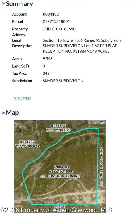
Section: 15 Township: 6 Range: 93 Subdivision: SNYDER SUBDIVISION Lot: 1 AS PER PLAT RECEPTION NO. 911984 9.548 ACRES
Tax Annual Amount
2693
Utilities
Water source
Public
Listing Agency:
eXp Realty LLC
(888) 440-2724
Listed By:
Todd Ambrose · License #100065972
(970) 404-1424
Added: Jun 8
Changed: Jun 10
Last Checked: Jul 29 at 12:06PM
MLS# 193239
Copyright © 2026 Aspen Glenwood MLS. All rights reserved. All information provided by the listing agent/broker is deemed reliable but is not guaranteed and should be independently verified.
Investment Insights
Based on property information with market context.
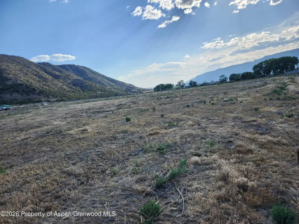
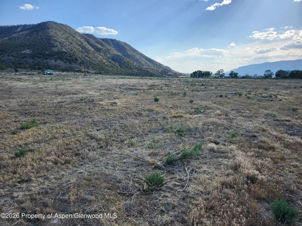
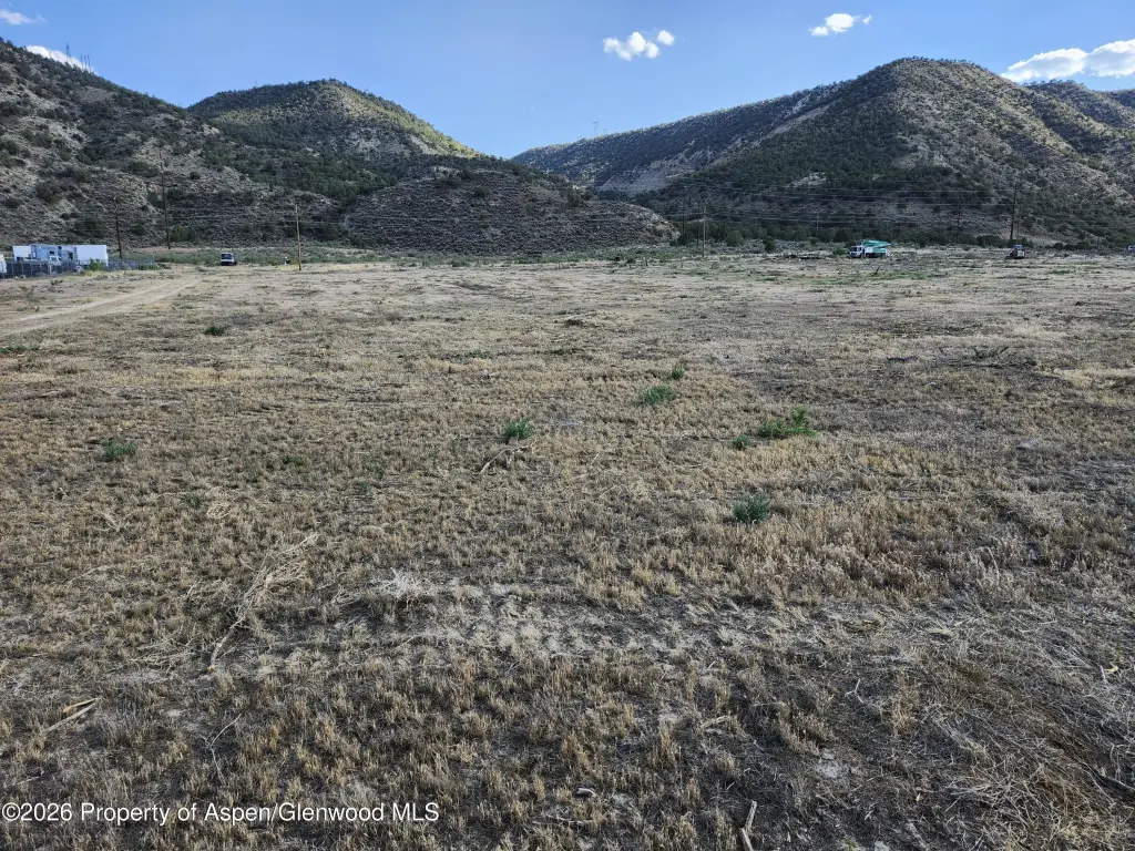
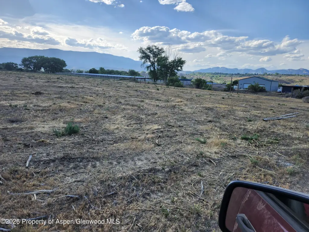
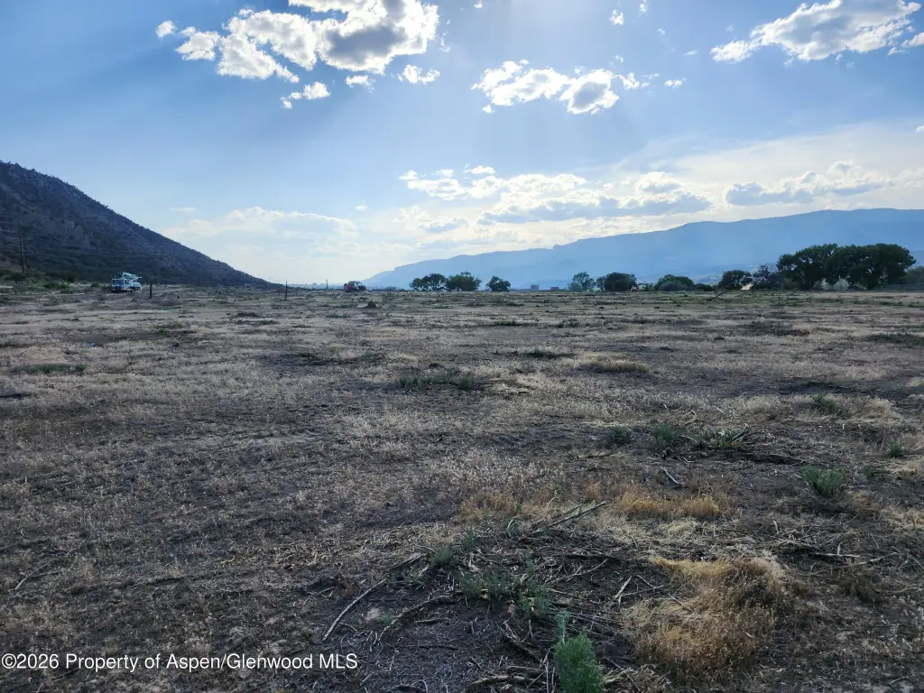
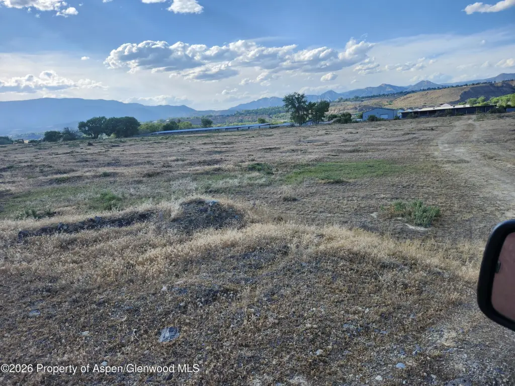
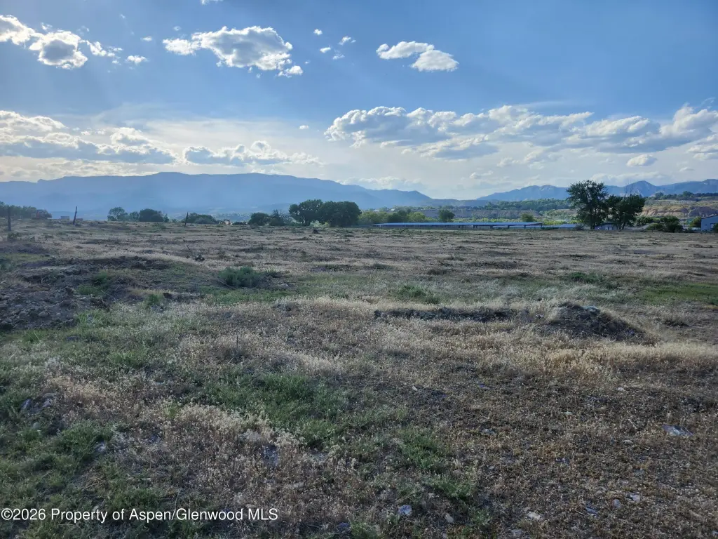
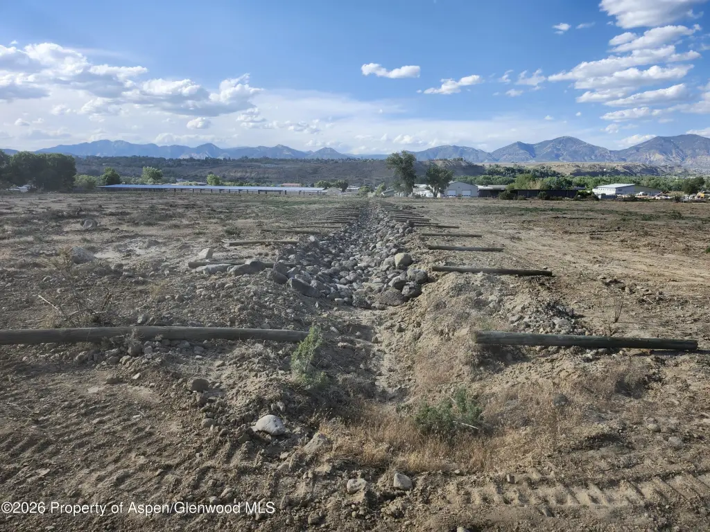
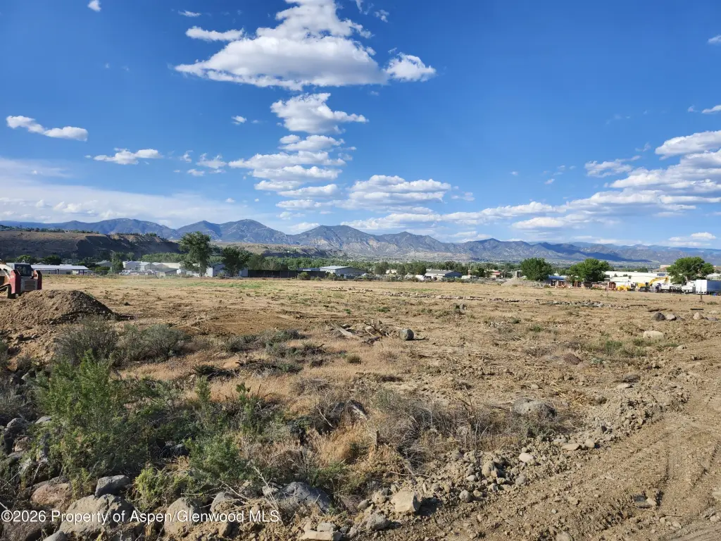
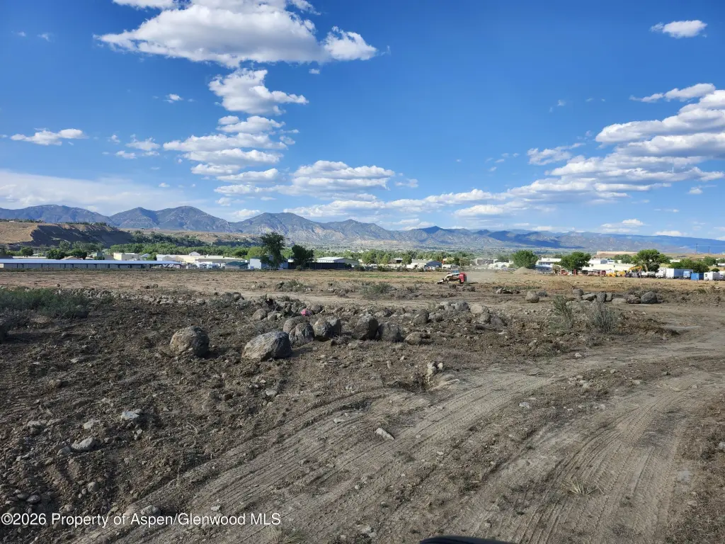
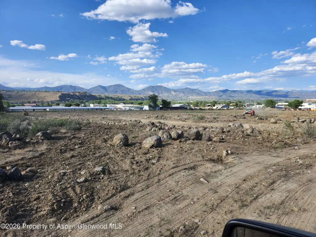
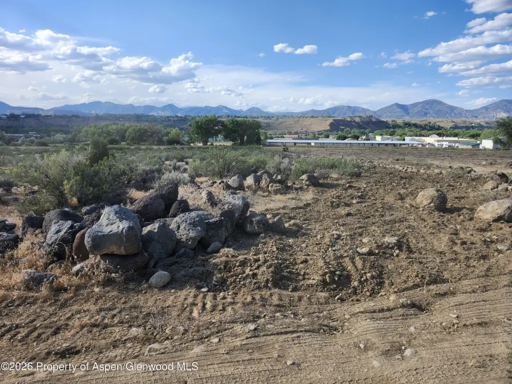
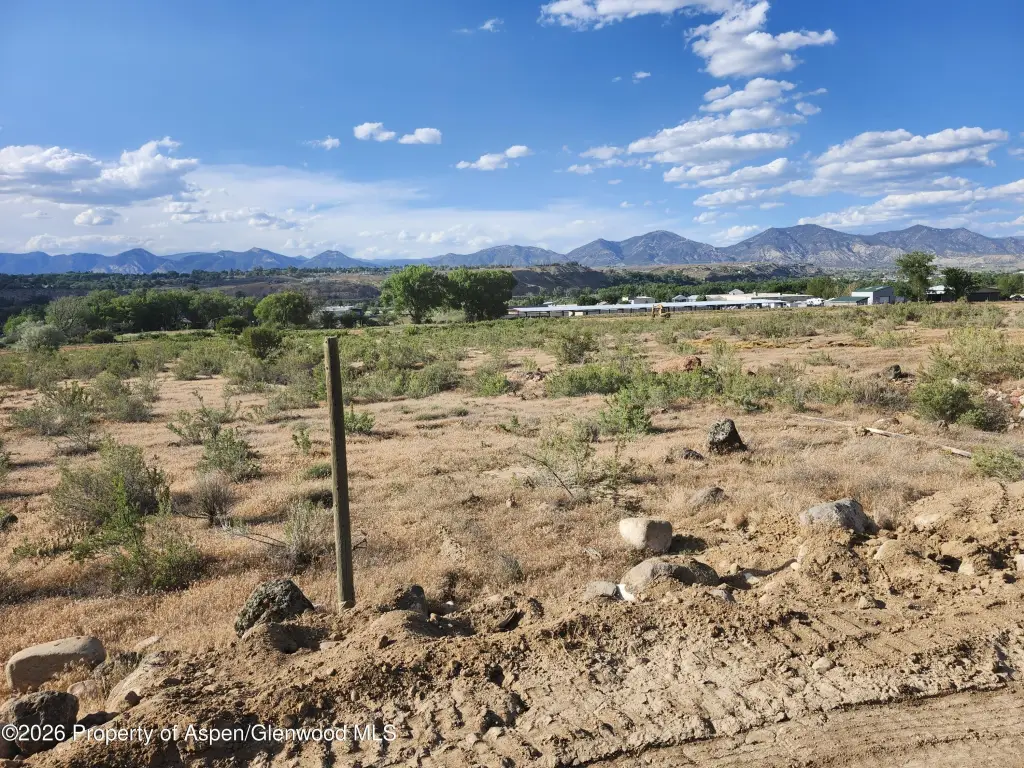
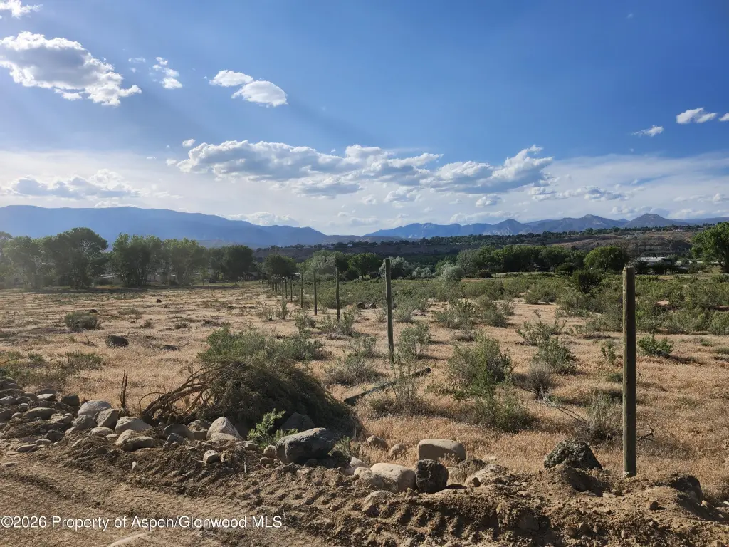
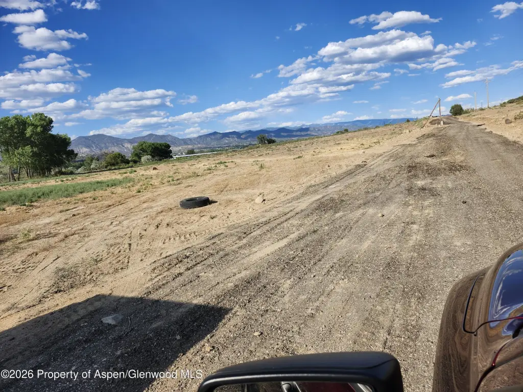
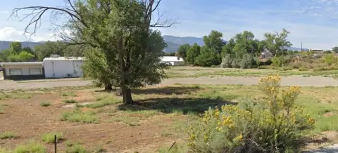
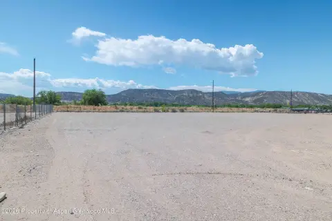
This listing offers vacant land in the Snyder Subdivision, identified as Lot 1 (Plat Reception No. 911984). The parcel is 9.548 acres and is described as clear, ready ground for a custom plan. The property also includes an LDR zoning base classification, along with a DR (Developing Resource) zone district overlay noted in the remarks.
The site is positioned right on the edge of Rifle, Colorado, within Garfield County. An account and parcel identification is provided: R084182 / 217715318001.
For buyers looking for land they can hold while planning for future changes, the DR overlay is presented as offering flexibility. The remarks state that the property allows for holding existing uses intact, and that park dedication requirements, cash-in-lieu payments, or municipal water rights fees are not described as applying until the time you zone for urban development and extend utilities. This combination of clear acreage and stated zoning framework may appeal to developers and land investors evaluating long-range staging and entitlement strategy.
Property Analytics
Property Profile
Location Intelligence
Current Use


Frequently Asked Questions
What type of property is this?
Residential land & home lot - Vacant 9.548-acre parcel in the Snyder Subdivision with LDR zoning and a DR overlay for development planning.
Where is this residential land & home lot located?
The property is located at Snyder Subdivision Rifle, CO.
What is the asking price?
The asking price for this property is $525,000.