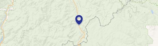
NHN Happy Acres Lane, Sula, MT 59871

- Added:
- Jun 20, 2026
- Days on Market:
- 3
- Last Refresh:
- Jun 22 at 11:06 am
Property Features for NHN Happy Acres Lane
General Information
- Property type
- Land
- Property subtype
- Other
- Standard status
- Active
- APN
- 13107719301220000
- Lot size
- 5.18 Acres
Taxes and HOA fees
- Tax Year
- 2025
- Tax Description
- S19, T02 N, R17 W, ACRES 5.18, IN H E S #942 INDEX 13 CS #5440-F TRACT 3
- Tax Annual Amount
- 17
Utilities
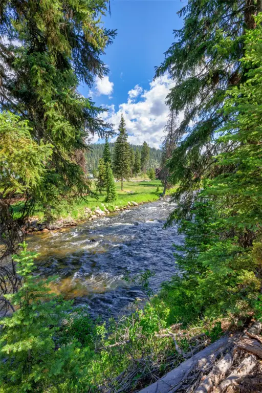
- Water front features
- Waterfront, River Front
- Water front
- 1

Listing agent Ronda Lynn Lang License #RRE-RBS-LIC-54400 (406) 370-5771
Listing office Berkshire Hathaway HomeServices - Hamilton 120 S 5th Street, Missoula, MT (406) 375-0166
Listing date Jun 20, 2026
Copyright © 2026 Montana Regional MLS. All rights reserved. All information provided by the listing agent/broker is deemed reliable but is not guaranteed and should be independently verified.
HighLights
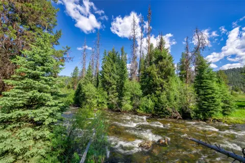
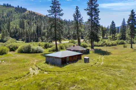
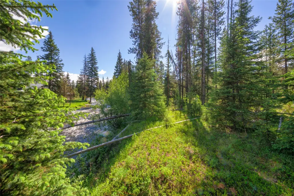
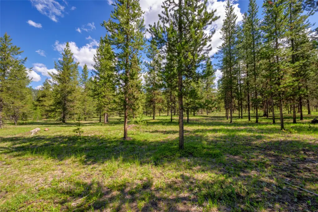
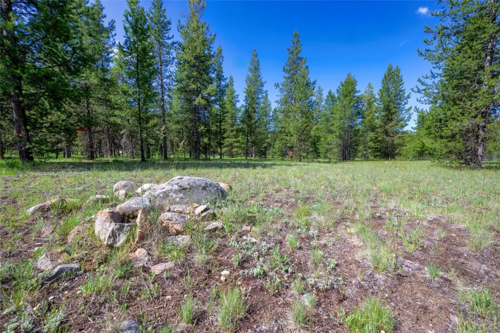
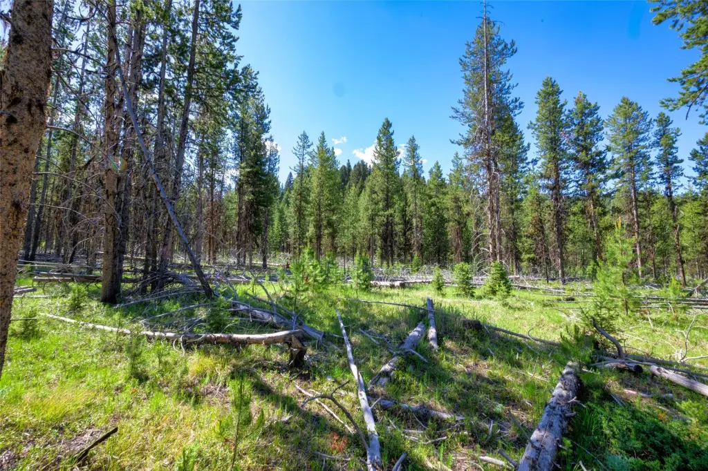
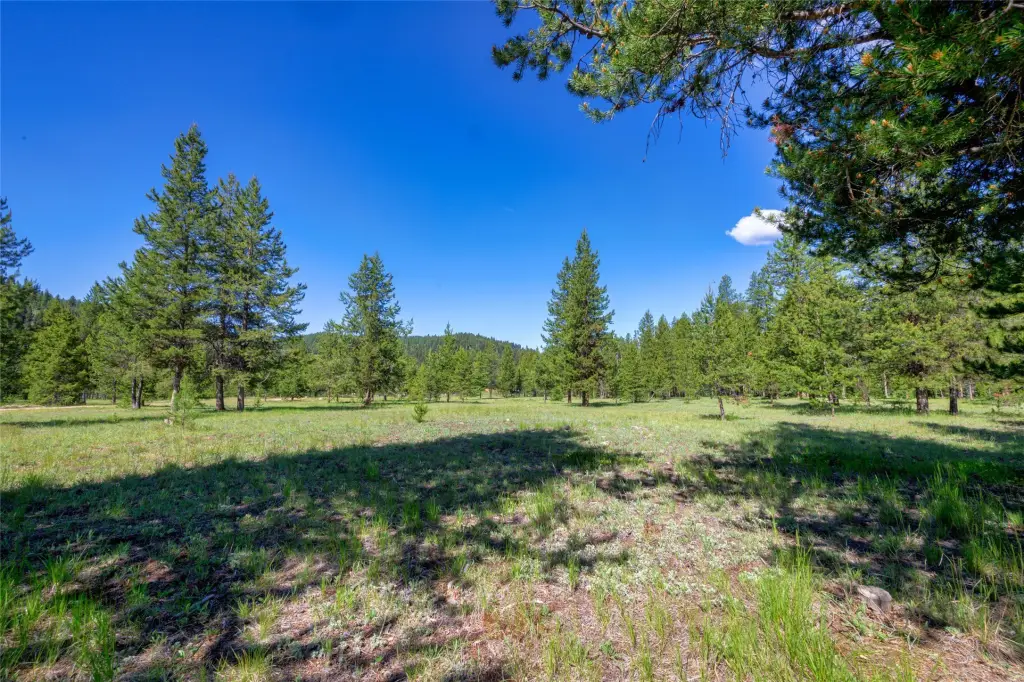
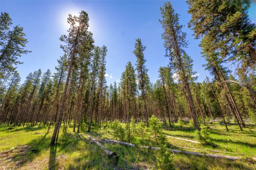
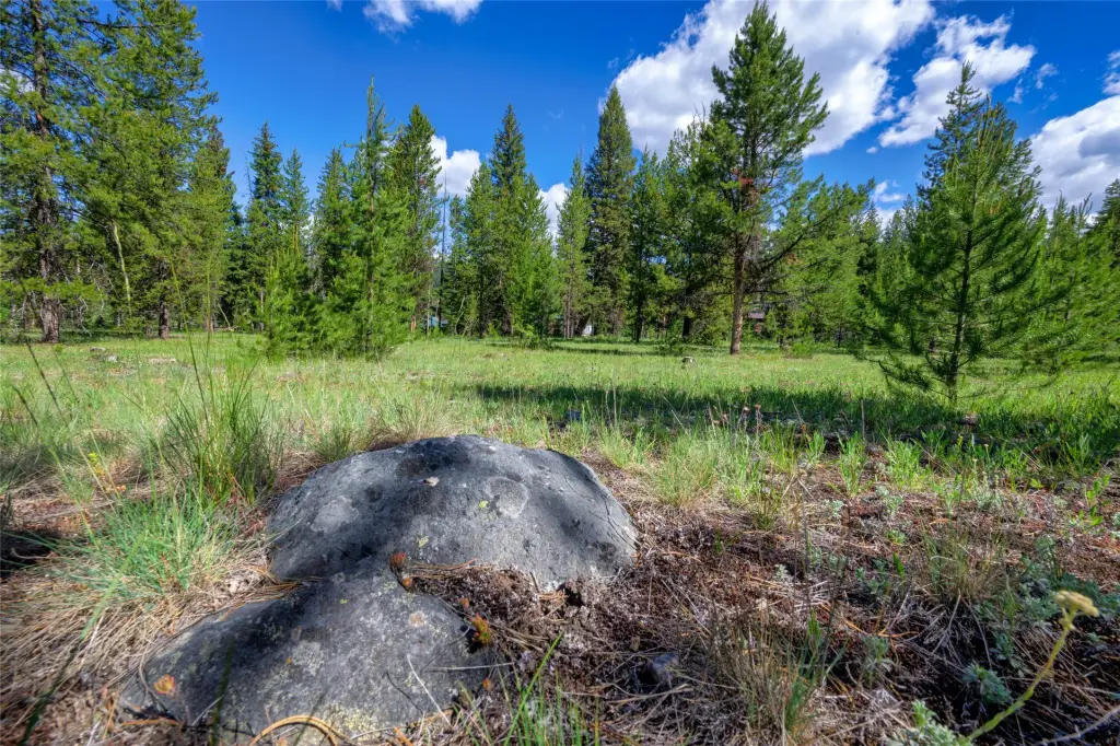
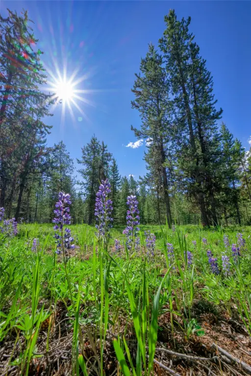
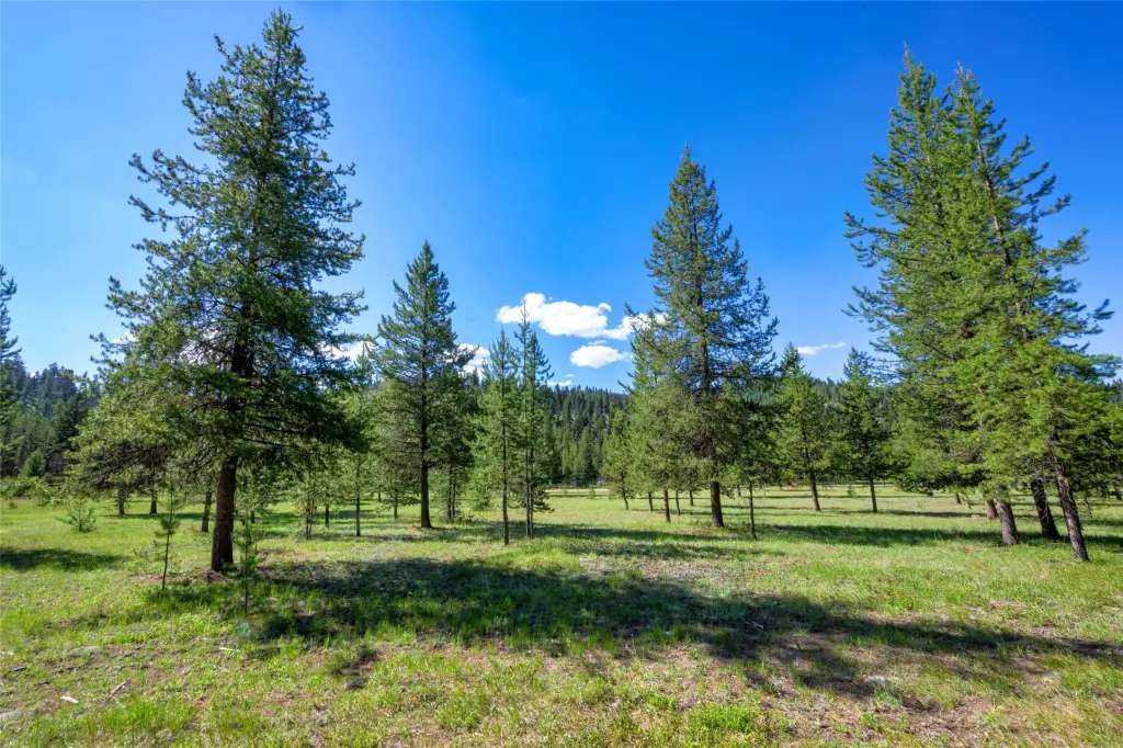
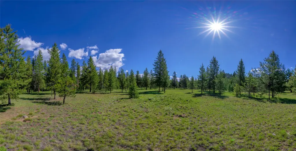
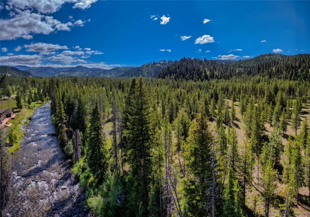
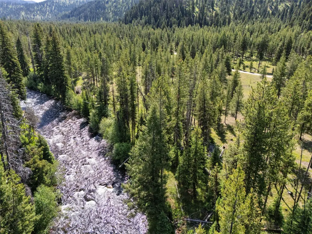
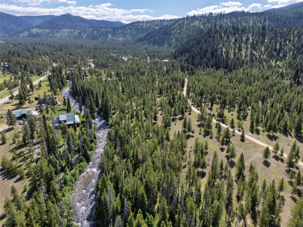
- 5.18 private level acres in Sula, MT
- Borders the East Fork River with riverfront access
- Adjacent to US Forest Service land for immediate public‑land connectivity
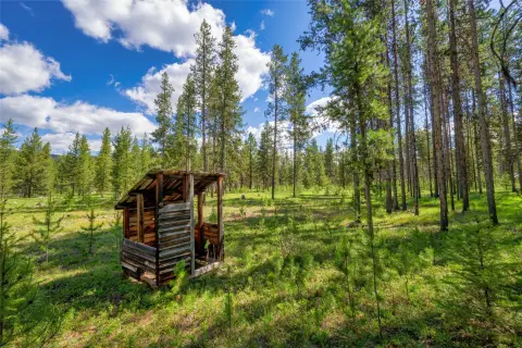
- Lot includes mature trees and open meadows
- DEQ septic approval and underground power close by
- Only a few miles from Anaconda/Pintler wilderness area and Lost Trail ski area
Overview
The site provides outdoor-focused surroundings with nearby options for hiking, backpacking, fishing, hunting, cross-country and downhill skiing, and snowmobiling. It is also described as only a few miles from the Anaconda/Pintler wilderness area, Lost Trail ski area, and Chief Joseph xc ski area. Seasonal enjoyment is supported by the combination of river adjacency and nearby public land access.
For buyers looking for residential privacy with convenient recreation access, this parcel offers a natural setting and direct public land adjacency. The listing also notes DEQ septic approval and underground power in close proximity, which can support planning for future development. Adjacent lot(s) are also listed for sale, which may appeal to buyers seeking additional acreage.
Current Use by Public Records
Map
- City
- Sula
- County
- Ravalli
- State
- Montana
- Longitude
- -113.7543796
- Latitude
- 45.90820251