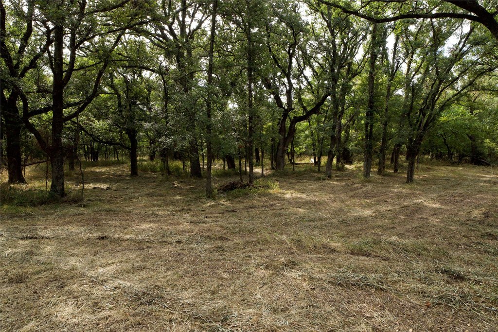
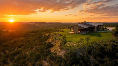
Heavily Treed Custom Home
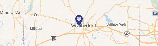
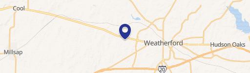
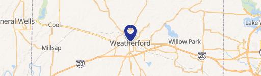
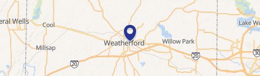
Garner Adell rd Weatherford, TX 76088
Garner Adell rd, Weatherford, TX, 76088
$687,460
For Sale
$687,460
LAND - Weatherford, TX
Lot Size18.90 Acres
Days on Market231
Property Features for Garner Adell rd
General Information
- Property type
- Land
- Property subtype
- Other
- Standard status
- Active
- APN
- R000111299
- Lot size
- 18.90 Acres
Utilities
- Water source
- Well
Listing agency
Atkins & Co.
(817) 441-7679
Listed by
Deja Parker · License #0685743
(817) 296-2679
Added: Dec 3, 2025 Updated: Jun 8 at 10:16PM Checked: Jul 22 at 10:06PM
MLS# 21124202
Copyright © 2026 North Texas Real Estate Information Systems, Inc. All rights reserved. All information provided by the listing agent/broker is deemed reliable but is not guaranteed and should be independently verified.
Investment Insights
Based on property information with market context.
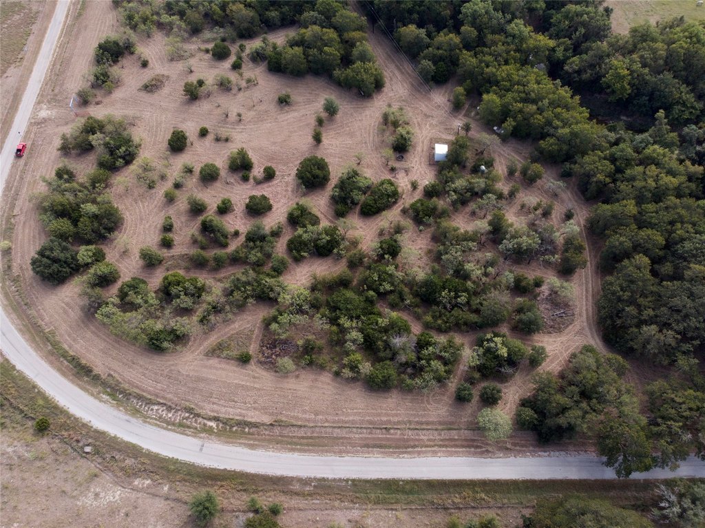
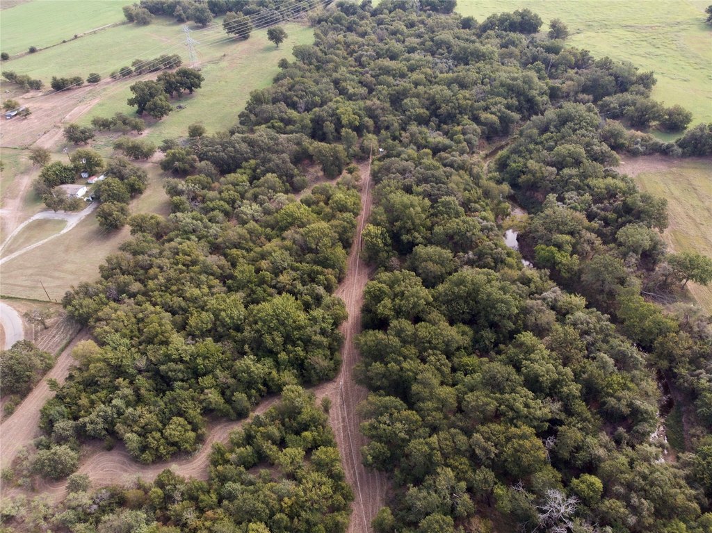
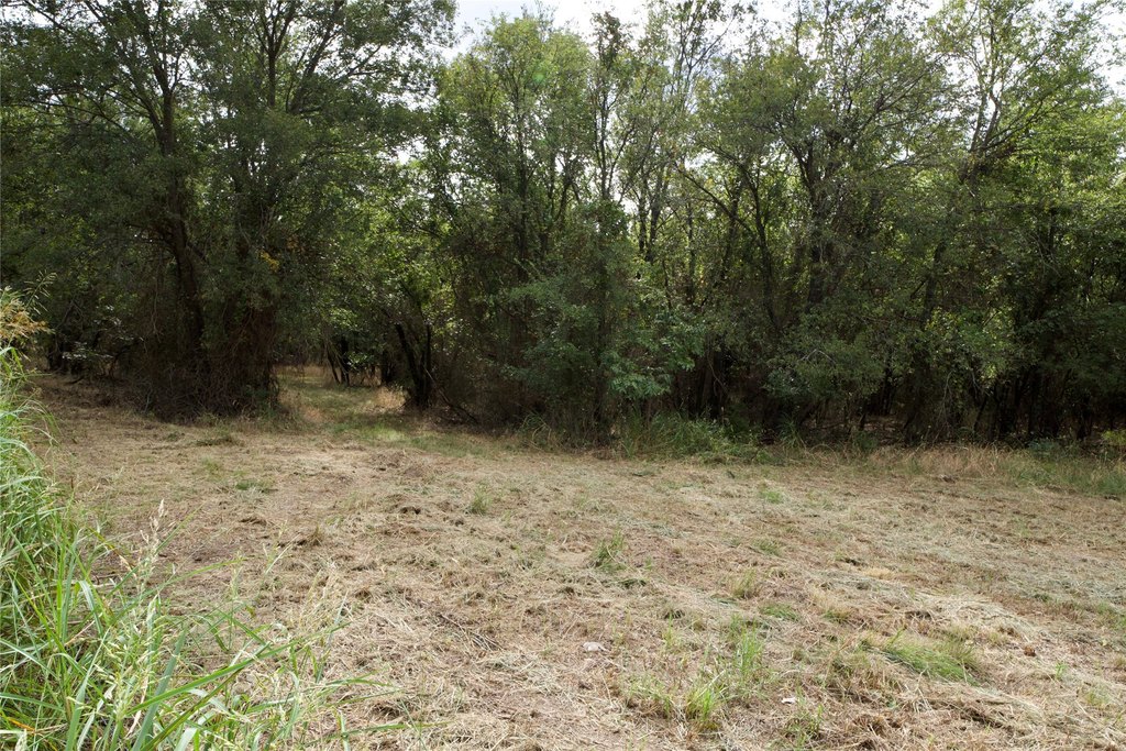
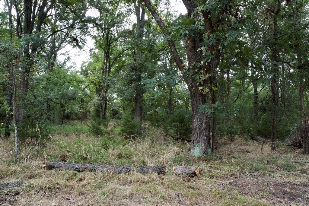
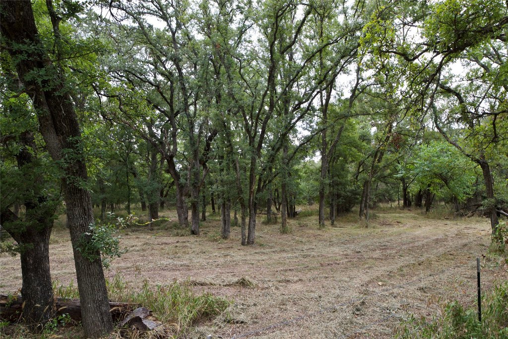
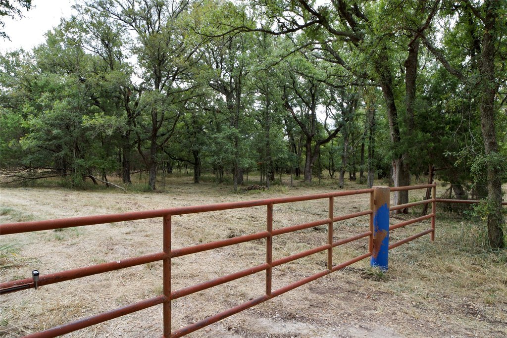
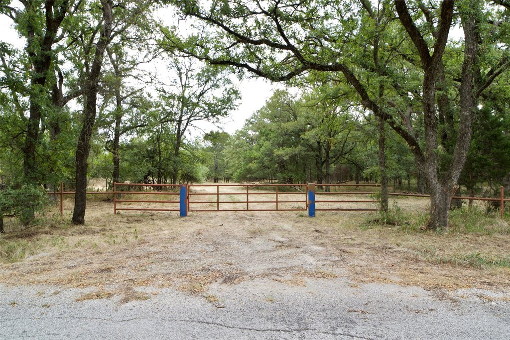
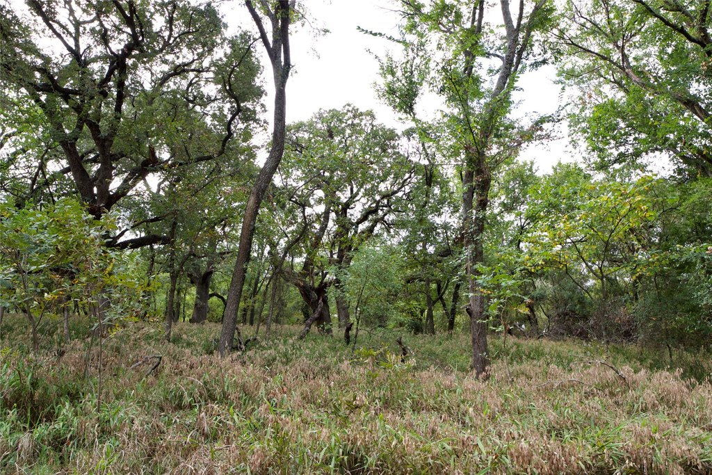
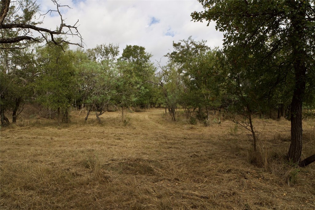
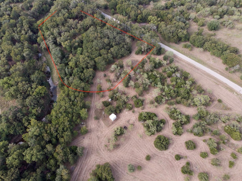
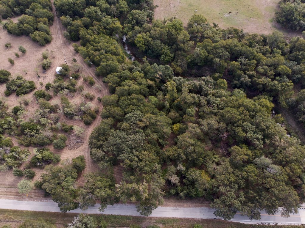
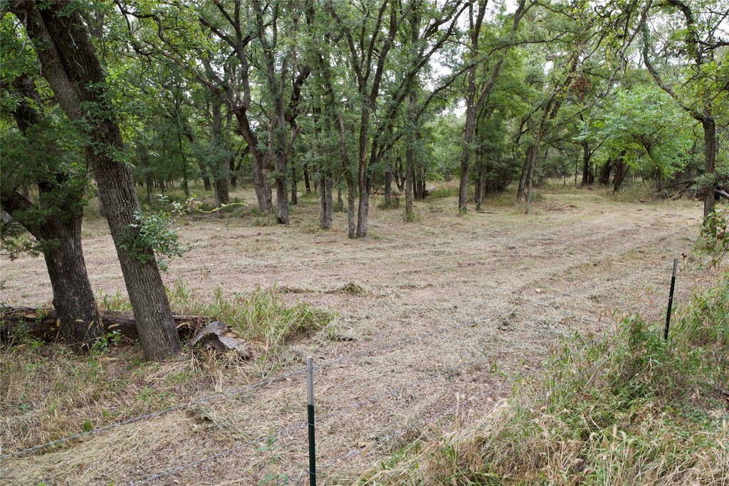
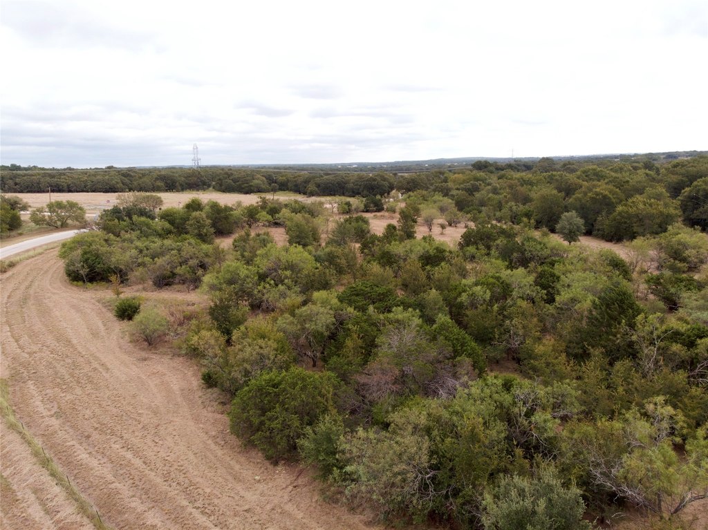
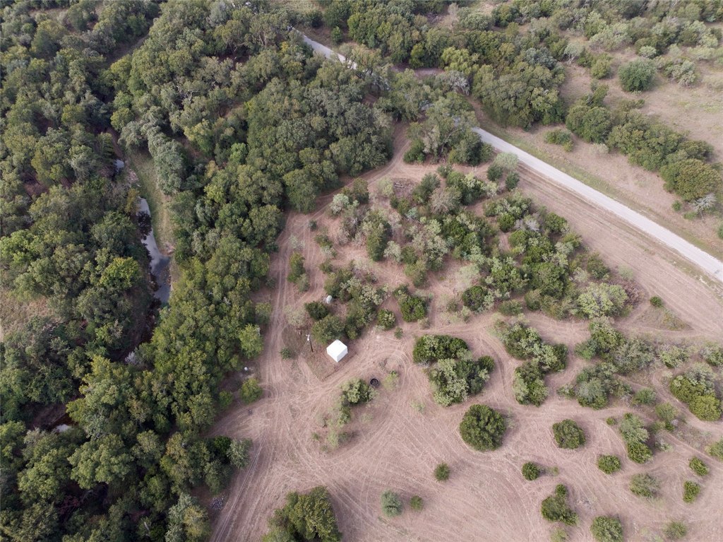
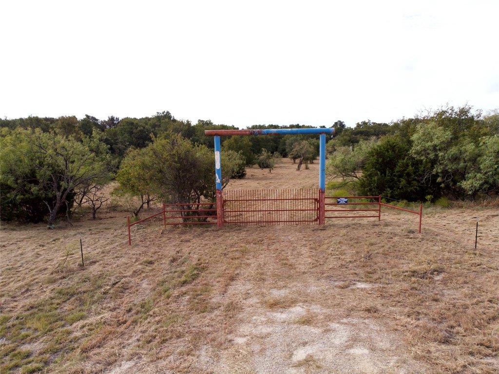
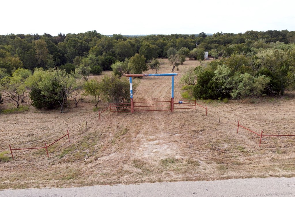
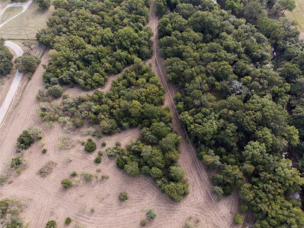
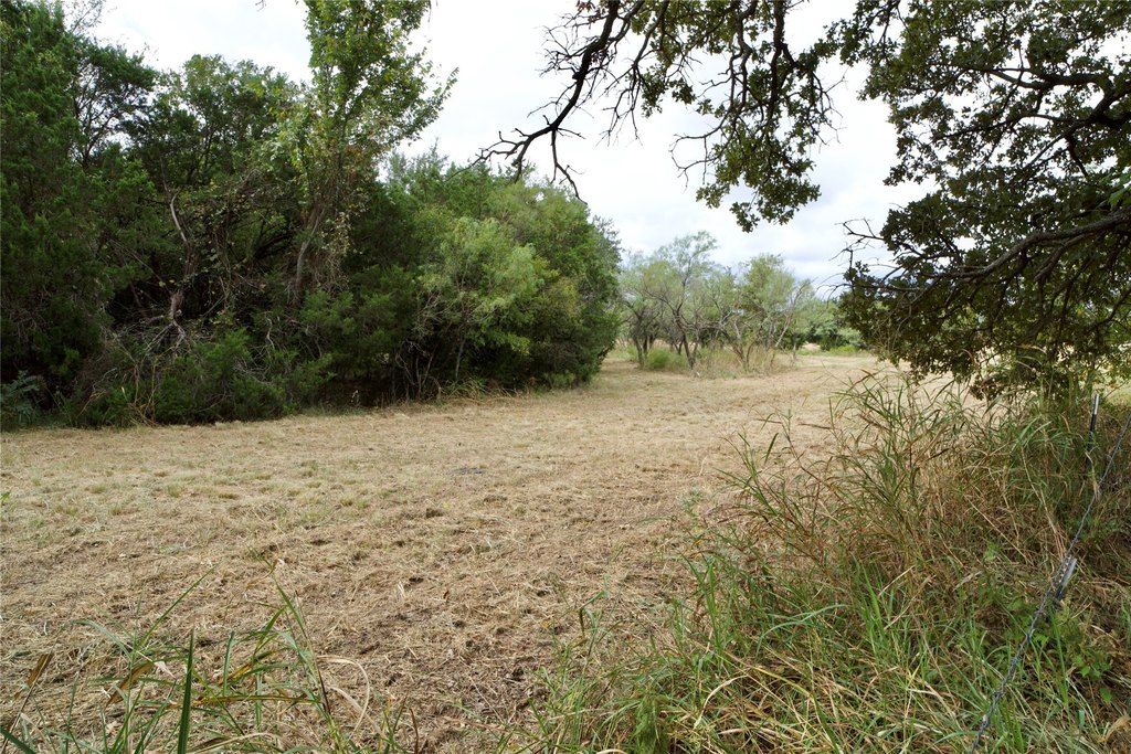
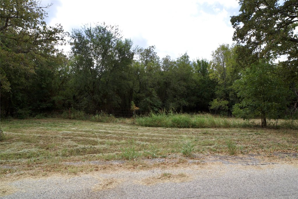
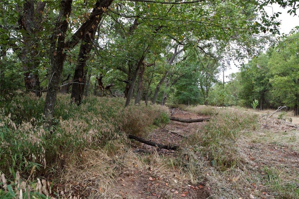
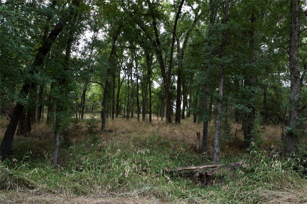
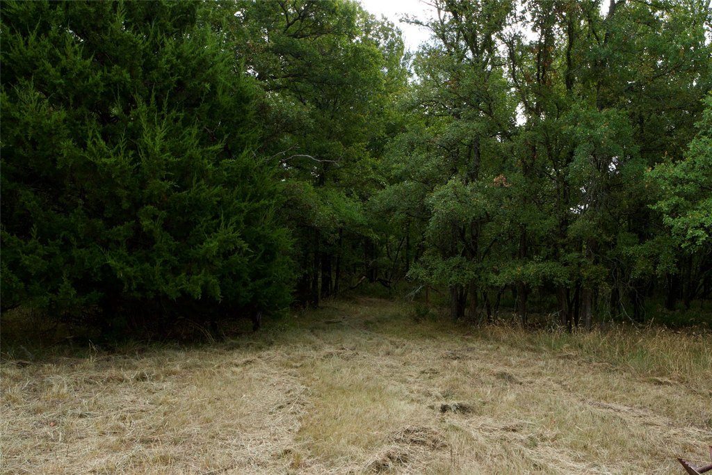
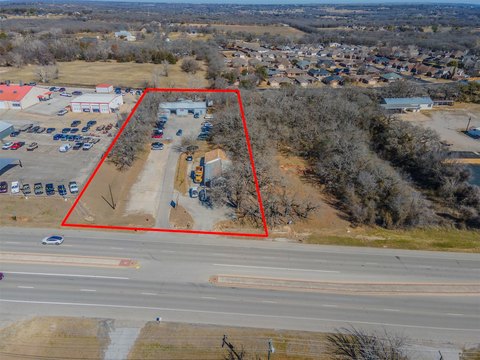
Set on 18.9 acres of heavily treed land with mature hardwoods and rolling terrain, this property offers a quiet, natural setting with multiple potential homesite locations. The seller is looking to sell the land as a whole, but will also consider four platted lots individually, each approximately 4.5+ acres. The property includes two established entry gates for secure access, with electricity already run to the tract. For residential use, a septic system is required, particularly if the lots are sold individually, and floodplain areas are noted on the plat.
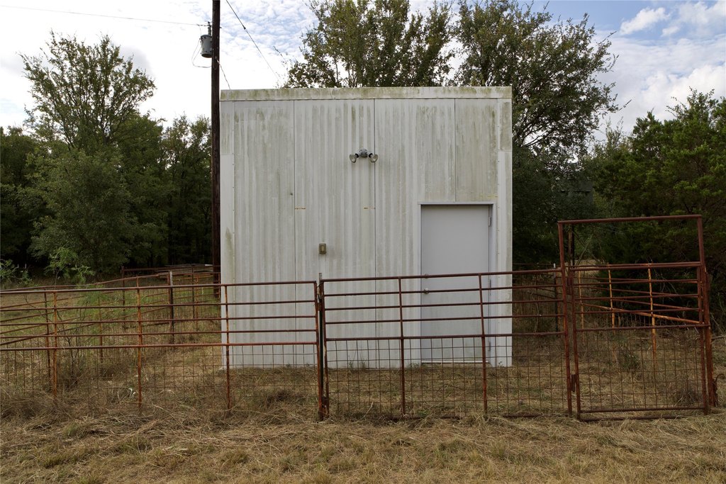
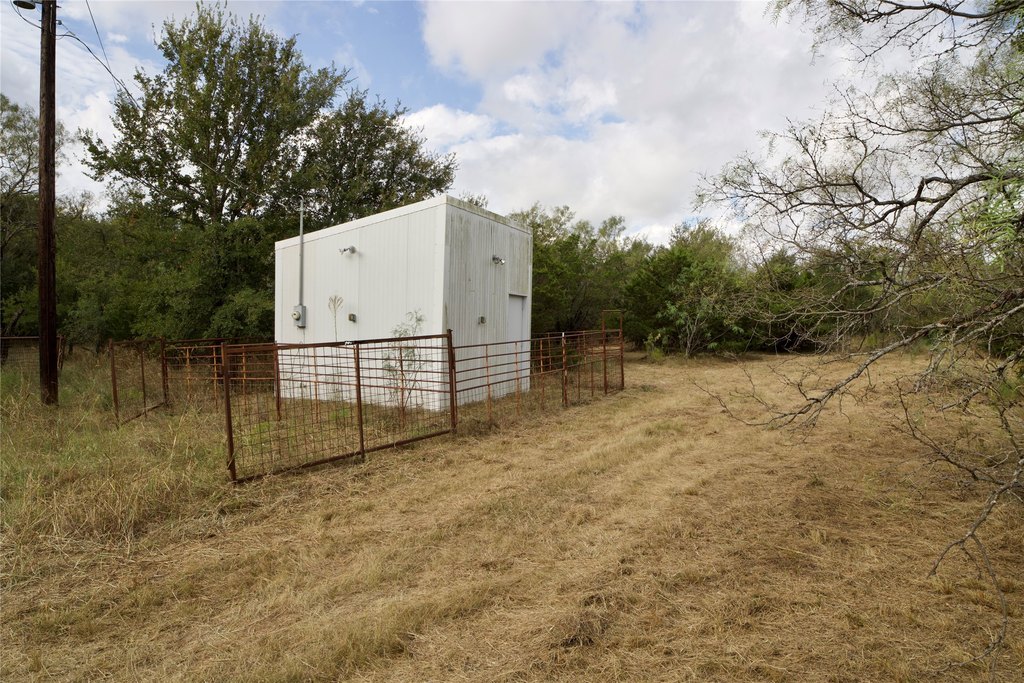
A Trinity well is located on Lot 1, housed in an oversized commercial-grade insulated well house, with an estimated depth of 280–300 feet and pumping of approximately 15 GPM. A portion of the property lies within the floodplain as reflected on the plat, while ample buildable area remains outside the floodplain on all lots. Minimal deed restrictions are in place, and mobile homes are not allowed.
This tract is well suited for buyers seeking custom home development, a private retreat, or a small-scale, long-term investment with flexible lot options. With secure gated entry, utility presence, and a clear split between buildable and floodplain areas, it provides a practical foundation for planning multiple residences while keeping the overall character and privacy intact.
Key Highlights
- 18.9‑acre heavily treed property in the Steed Addition, with mature hardwoods and rolling terrain
- Two established entry gates for convenient, secure access
- Water includes a Trinity well on Lot 1 in an oversized insulated well house; approx. 280–300 ft depth and approx. 15 GPM
Property Analytics
Property Profile
Location Intelligence
Current Use by Public Records
Residential land & home ...
Similar For Sale Nearby

FAQs
What type of property is this?
Residential land & home lot - 18.9-acre homesite tract with two gated entrances, electricity in place, and multiple buildable areas for custom development.
Where is this residential land & home lot located?
The property is located at Garner Adell rd Weatherford, TX.
What is the asking price?
The asking price for this property is $687,460.
What are key features of this property?
This property features: 18.9‑acre heavily treed property in the Steed Addition, with mature hardwoods and rolling terrain; Two established entry gates for convenient, secure access; Water includes a Trinity well on Lot 1 in an oversized insulated well house; approx. 280–300 ft depth and approx. 15 GPM


