Corner Development Land
Fm-131 Denison, TX 75020
Fm-131, Denison, TX, 75020
$5,635,903
For Sale
$5,635,903
LAND - Denison, TX
Lot Size39.81 Acres
Days on Market176
Property Features for Fm-131
General Information
- Property type
- Land
- Property subtype
- Other
- Standard status
- Active
- APN
- 112199
- Lot size
- 39.81 Acres
Taxes and HOA fees
- Tax Description
- G-1203 TRIMBLE JOHN A-G1203, ACRES 2.19
- Tax Annual Amount
- 1
Utilities
- Water source
- Public
Listing Agency
MainStreet Venture Partners, L
(903) 821-9055
DENISON, TX
Listed by
Ryan Clevenger · License #0781303
(903) 821-9055
Added: Jan 24 Checked: Jul 19 at 2:06 am
MLS# 21098618
Listing URL
Copyright © 2026 North Texas Real Estate Information Systems, Inc. All rights reserved. All information provided by the listing agent/broker is deemed reliable but is not guaranteed and should be independently verified.
Investment Insights
Based on property information with market context.
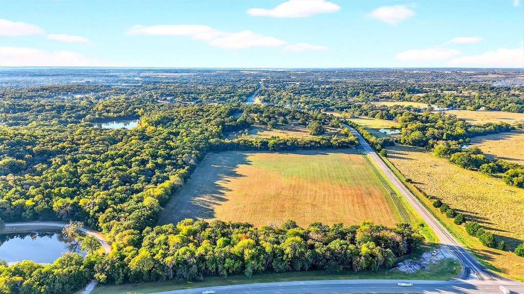
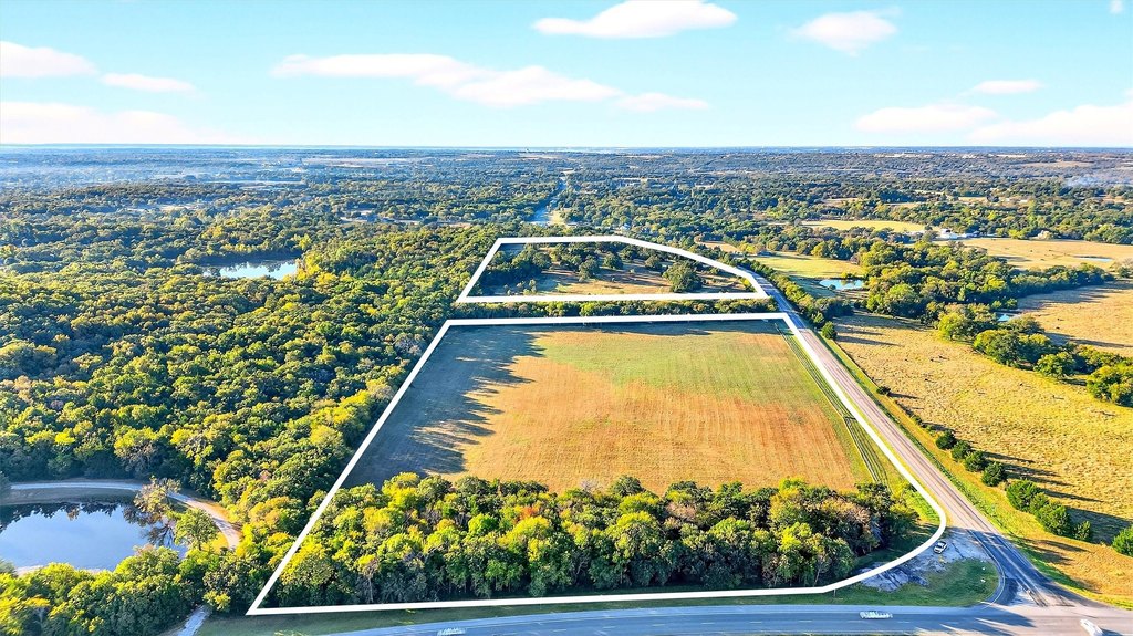
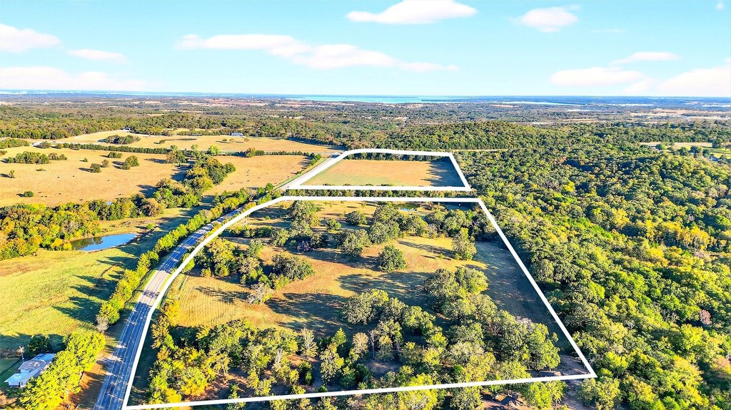
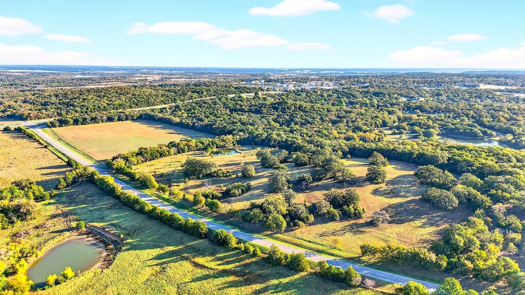
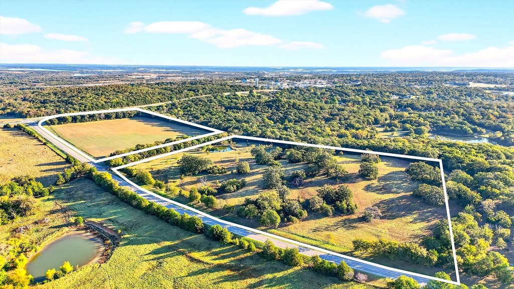
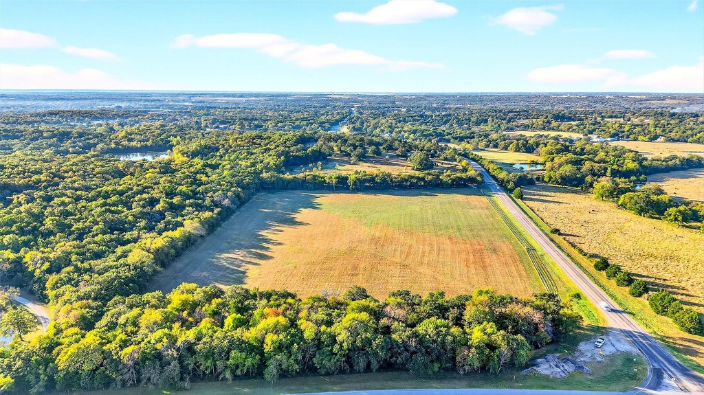
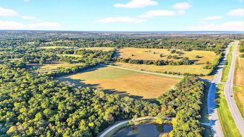
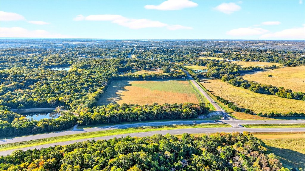
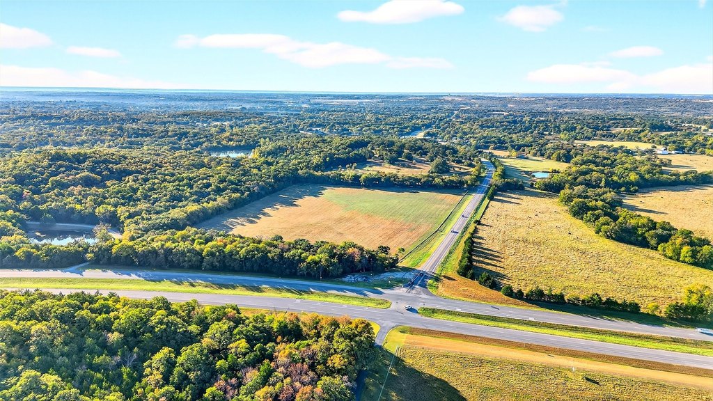
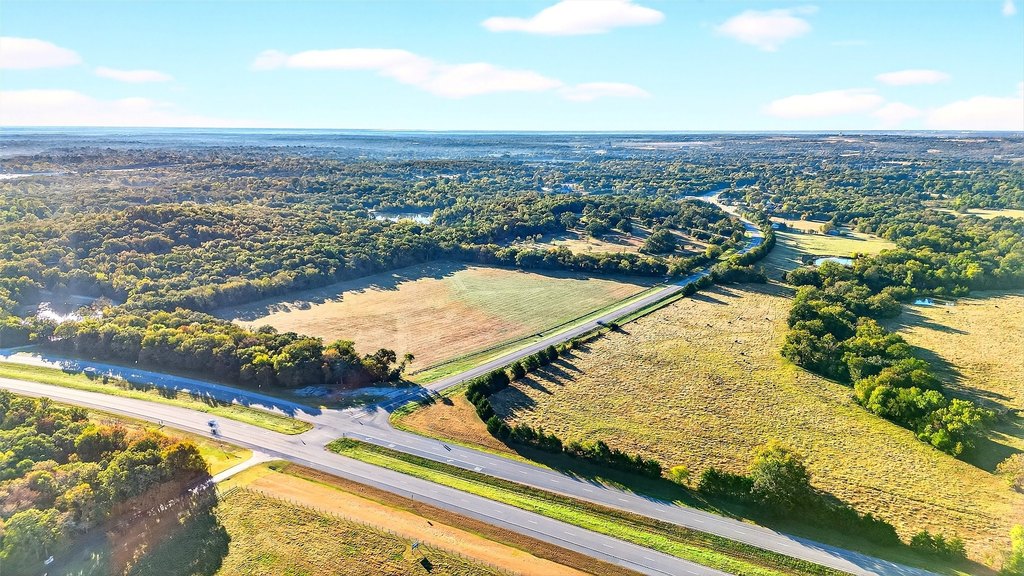
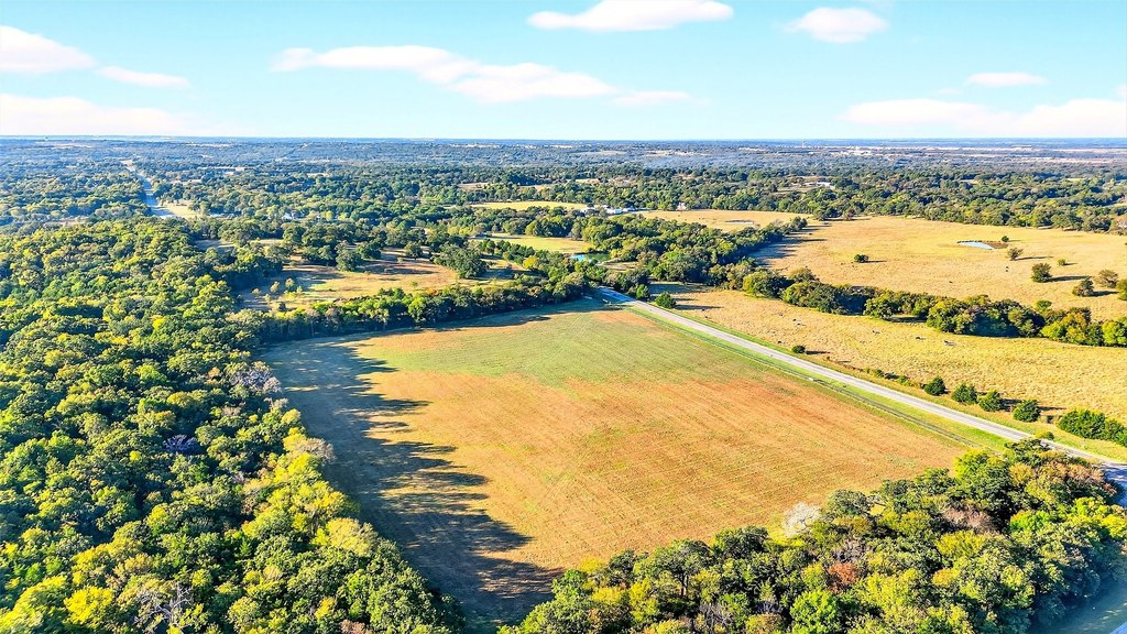
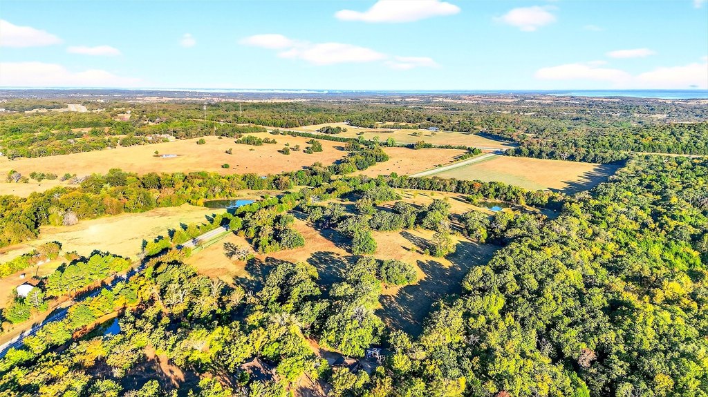
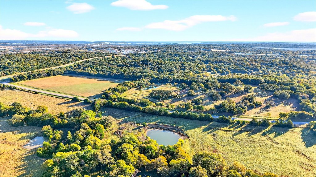
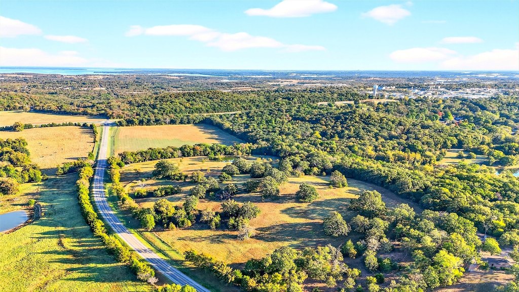
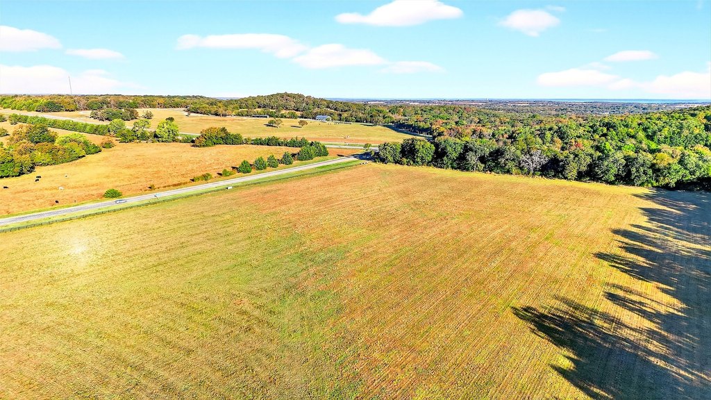
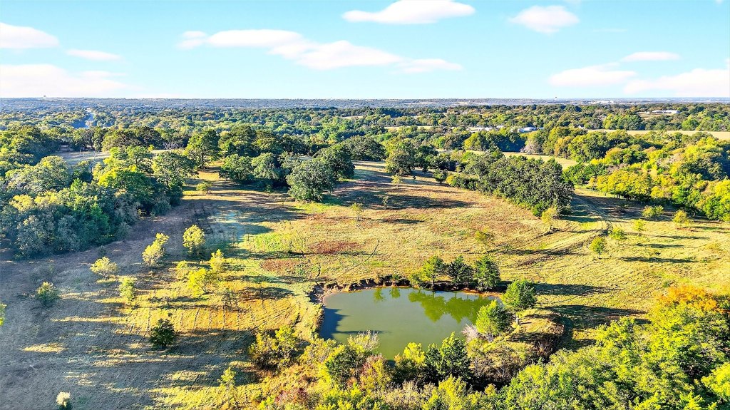
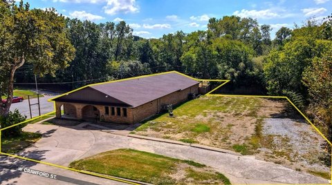
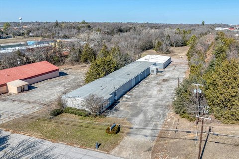
Prime corner tracts totaling approximately 39.81 acres are offered with frontage along two major roadways, providing strong visibility and straightforward site access. The property is currently zoned Agricultural and includes access to city utilities, giving it flexibility for future planning outcomes. Development potential is best considered in the context of rezoning, as uses such as residential, commercial, or mixed-use may be possible subject to City of Denison approvals.
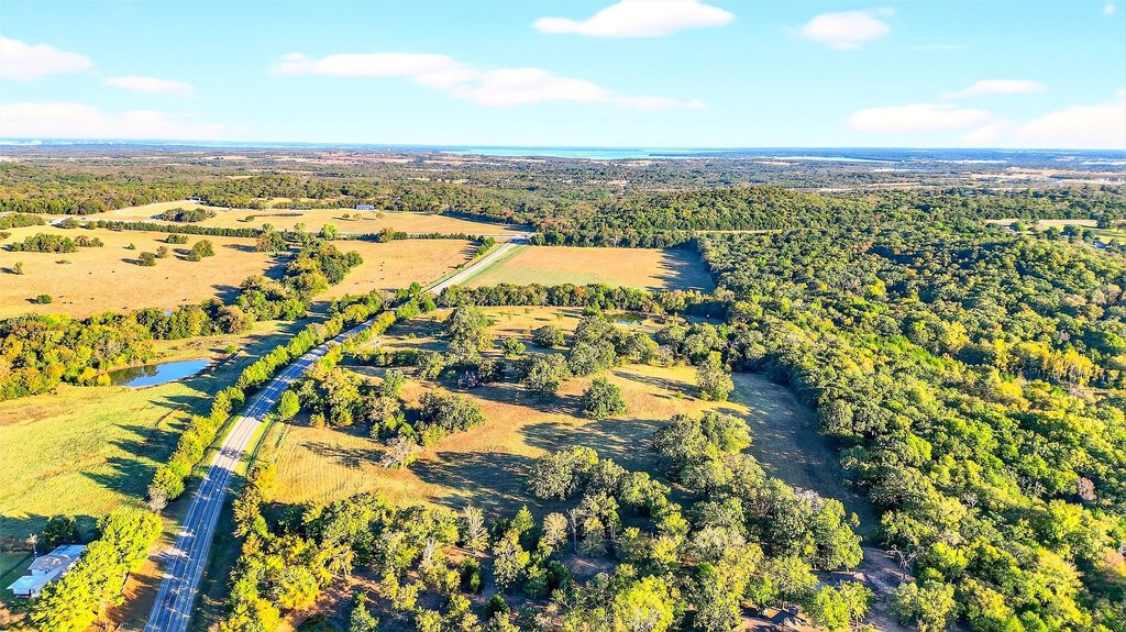
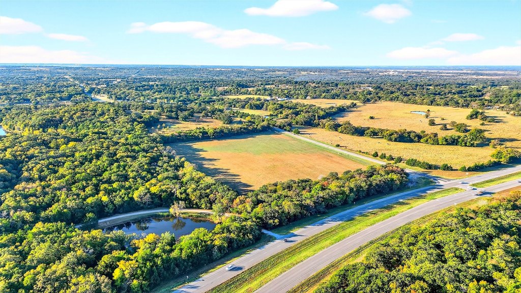
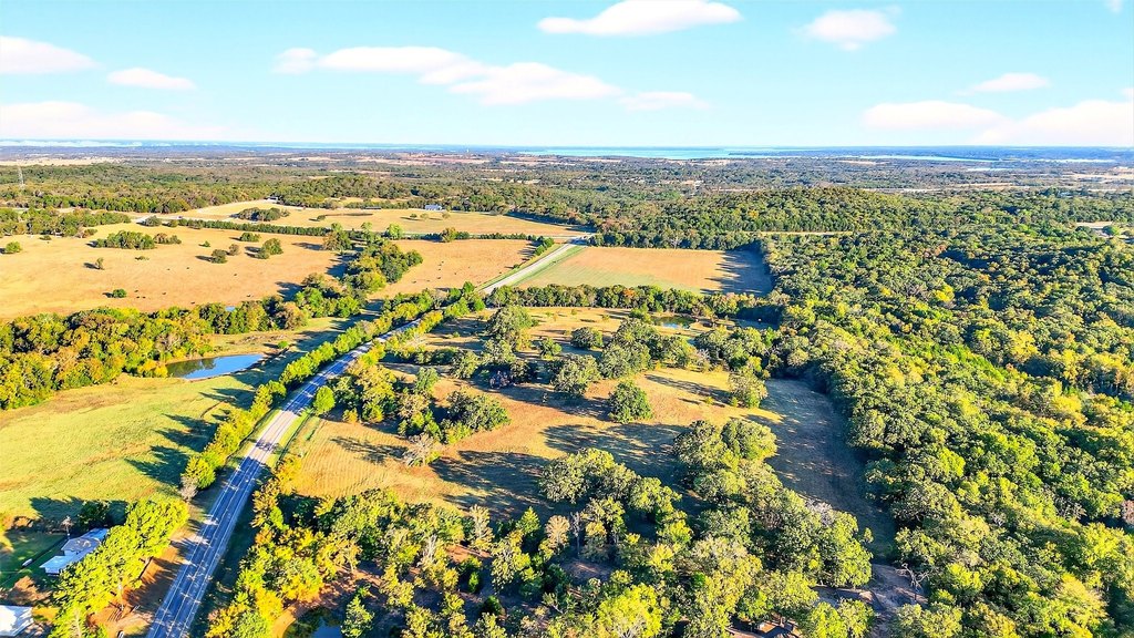
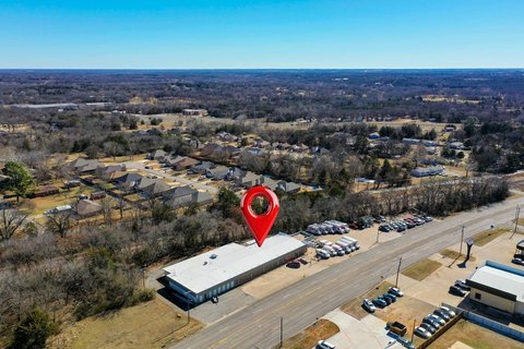
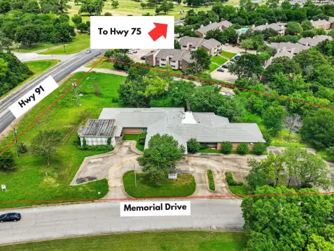
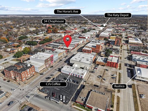
The site is located at the intersection of Highway 120 and FM 131 in Denison, Texas, near downtown Denison and local amenities. It also sits in close proximity to Highway 75, supporting convenient regional connectivity. The listing notes that the North Texas Tollway extension is proposed nearby, connecting Dallas to Denison, which may influence long-term growth and demand dynamics.
For buyers or investors, this is a practical land opportunity for assembling a larger development plan or positioning for future rezoning and infrastructure-driven demand. Given the Agricultural zoning and the need to confirm development requirements, due diligence should include verification of boundaries, acreage, zoning status, utility availability, and all City of Denison permitting and development criteria before moving forward.
Key Highlights
- +-39.81‑acre corner tract at Highway 120 and FM 131 in Denison, TX
- Frontage along two major roadways (Highway 120 and FM 131)
- Currently zoned Agricultural; flexible for residential, commercial, or mixed‑use projects subject to rezoning
Property Analytics
Property Profile
Location Intelligence
Current Use by Public Records
Commercial land
Similar For Sale Nearby

FAQs
What type of property is this?
Agricultural land / Farmland - Nearly 40 acres with dual-road frontage and utilities for flexible residential, commercial, or mixed-use development possibilities.
Where is this agricultural land / farmland located?
The property is located at Fm-131 Denison, TX.
What is the asking price?
The asking price for this property is $5,635,903.
What are key features of this property?
This property features: +-39.81‑acre corner tract at Highway 120 and FM 131 in Denison, TX; Frontage along two major roadways (Highway 120 and FM 131); Currently zoned Agricultural; flexible for residential, commercial, or mixed‑use projects subject to rezoning


