Corner Commercial
New
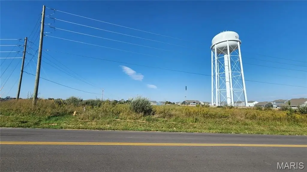
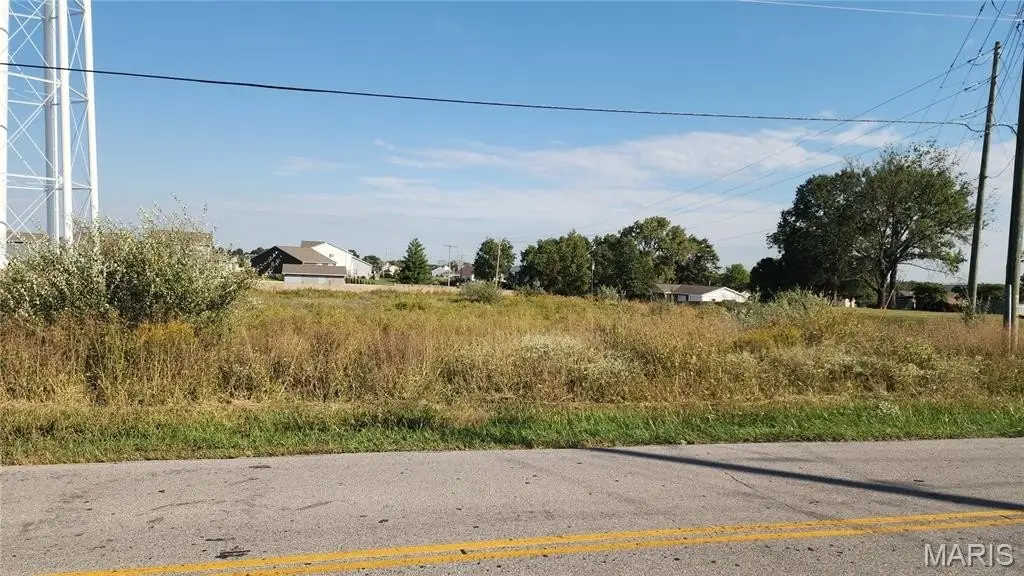
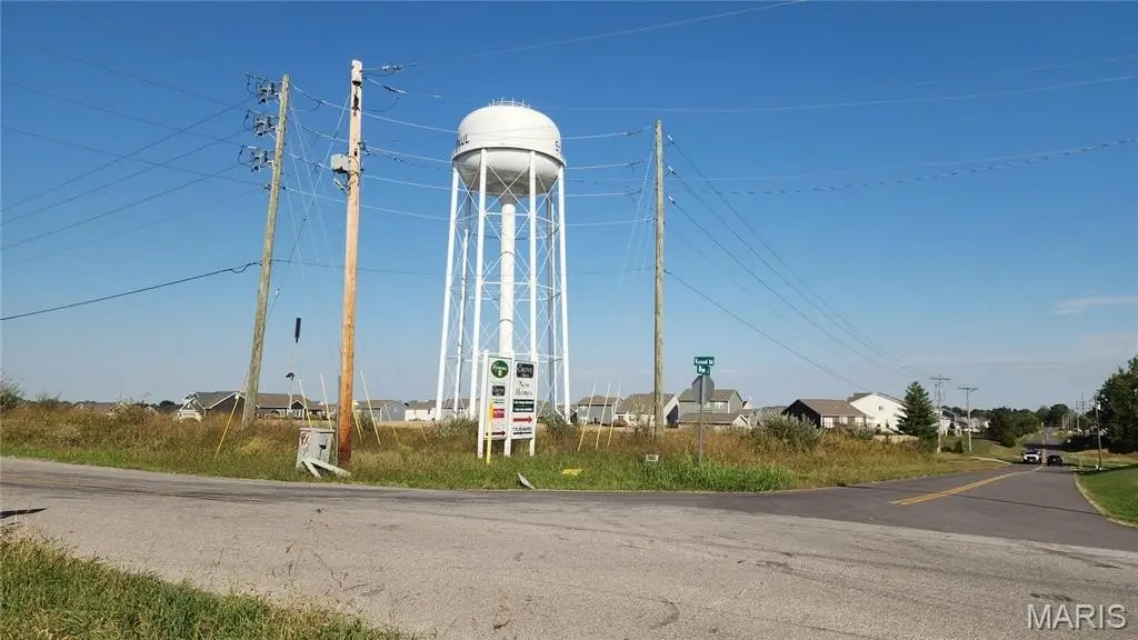
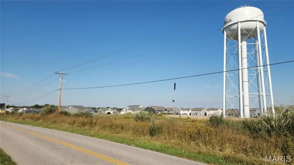
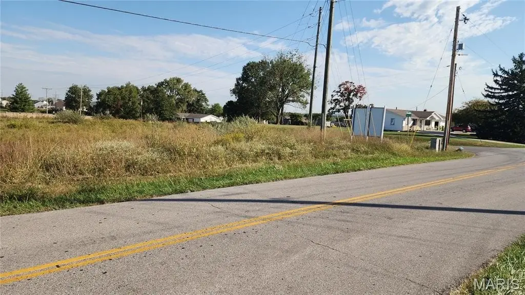
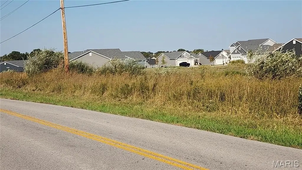
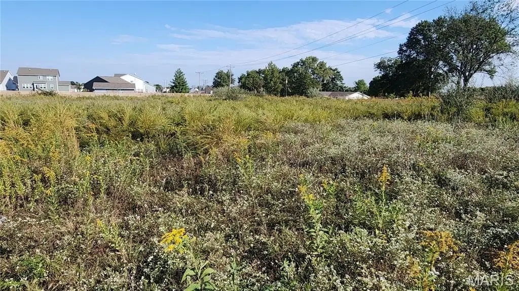
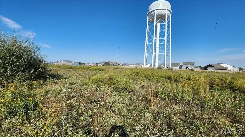
For Sale
$140,000
Dyer Rd. 1.42+/- Acres, O Fallon, MO 63366
Land, O'Fallon, MO
Property SizeContact for details
Lot Size1.42 Acres
Days on Market3
Property Features for Dyer Rd. 1.42+/- Acres
General Information
Property type
Land
Property subtype
Other
Subdivision
N/A, None, 0, NA
Lot features
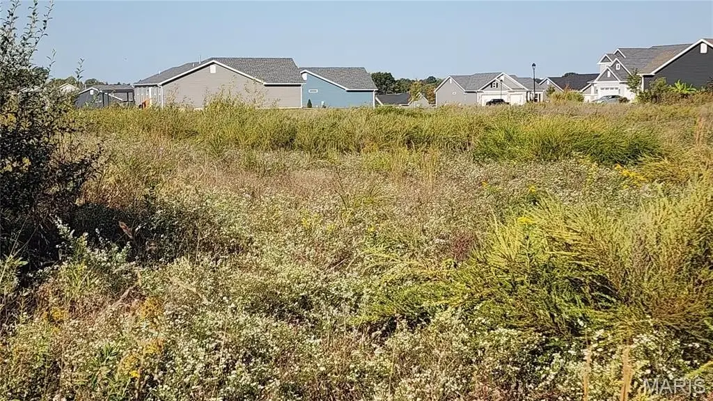
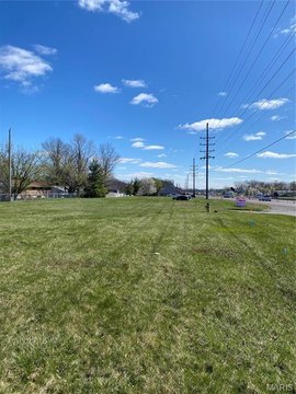
Corner Lot, Level, Open Lot, Undeveloped
Elementary school
Westhoff Elem.
Middle school
Ft. Zumwalt North Middle
High school
Ft. Zumwalt North High
Elementary school district
Ft. Zumwalt R-II
Middle school district
Ft. Zumwalt R-II
High school district
Ft. Zumwalt R-II
Directions
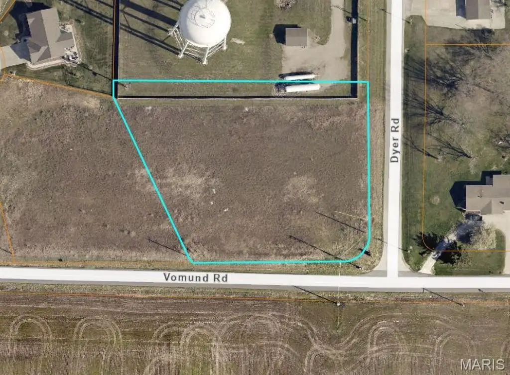
From Hwy 79, Go North to Vomund Rd., Go Left and continue until you reach Dyer Road. Property is on the NW corner of the intersection.
Standard status
Active
APN
20012S036000001141
Lot size
1.42 Acres
Taxes and HOA fees
Tax Description
E 1/2 NN 1/4 & NE FRL 1/4
Legal Description
E 1/2 NN 1/4 & NE FRL 1/4
Listing Agency:
Meyer & Company Real Estate
(636) 462-5555
Listed By:
Scott Buchheit · License #2022018315
(314) 306-4844
Added: Oct 15
Changed: Oct 16
Last Checked: Oct 17 at 10:06PM
MLS# 26064405
Copyright © 2026 Mid America Regional Information Systems, Inc. All rights reserved. All information provided by the listing agent/broker is deemed reliable but is not guaranteed and should be independently verified.

Ask AI about this property
Review the available facts, identify missing information and prepare questions for the agent.
Investment Insights
Based on property information with market context.
This 1.42-acre commercial land parcel is positioned at the intersection of Vomund Road and Dyer Road. A Special Use Permit through the City of St. Paul is required for development.
The property lies between Highway 79 and Highway Y. Its corner position and road connections define the site’s location and access context.
The property lies between Highway 79 and Highway Y. Its corner position and road connections define the site’s location and access context.
Key Highlights
- 1.42‑acre commercial land parcel
- At the corner of Vomund Road and Dyer Road
- Located between Highway 79 and Highway Y
Property Analytics
Current Use
Location Intelligence
Trade Area within ½ mile
36
Businesses Nearby
Explore this area
Business Placement
Demographics for 63366, MO
53,861
Population
21,204
Households
2.5
Avg Household Size
38
Median Age
34%
College-Educated
95%
High-School Grad
69.3 sq mi
ZIP Area
777
Density / Sq Mi
$98,237
Median Household Income
$51,750
Median Earnings
$1,274
Median Rent
$283,900
Median Home Value






Frequently Asked Questions
What type of property is this?
Commercial land - The site occupies the junction of Vomund Road and Dyer Road, between Highway 79 and Highway Y.
Where is this commercial land located?
The property is located at Dyer Rd. 1.42+/- Acres O Fallon, MO.
What is the asking price?
The asking price for this property is $140,000.
What are key features of this property?
This property features: 1.42‑acre commercial land parcel; At the corner of Vomund Road and Dyer Road; Located between Highway 79 and Highway Y


