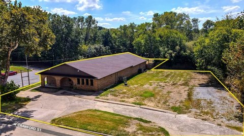
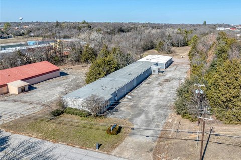
Agricultural Land with Road
6.2 AC Highway 75 Denison, TX 75020
6.2 AC Highway 75, Denison, TX, 75020
$1,500,000
For Sale
$1,500,000
LAND - Denison, TX
Lot Size6.20 Acres
Days on Market99
Property Features for 6.2 AC Highway 75
General Information
- Property type
- Land
- Property subtype
- Other
- Standard status
- Active
- APN
- 209989
- Lot size
- 6.20 Acres
Taxes and HOA fees
- Tax Description
- G-0885 MILLER P T A-G0885, ACRES 6.2
Utilities
- Water source
- Public
Listing Agency
Lugary, LLC
(214) 501-6138
Plano, TX
Listed by
Alejandra Castro de Kapoor · License #0807762
(214) 422-1699
Added: Apr 12 Checked: Jul 19 at 2:06 am
MLS# 21233674
Listing URL
Copyright © 2026 North Texas Real Estate Information Systems, Inc. All rights reserved. All information provided by the listing agent/broker is deemed reliable but is not guaranteed and should be independently verified.
Investment Insights
Based on property information with market context.
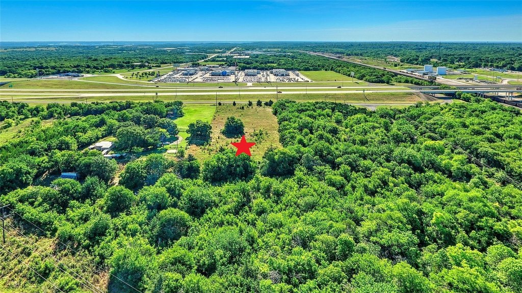
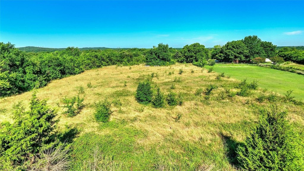
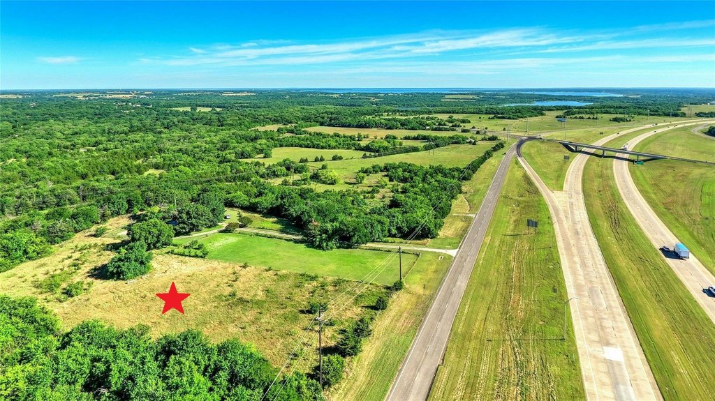
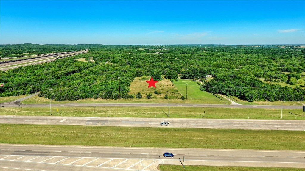
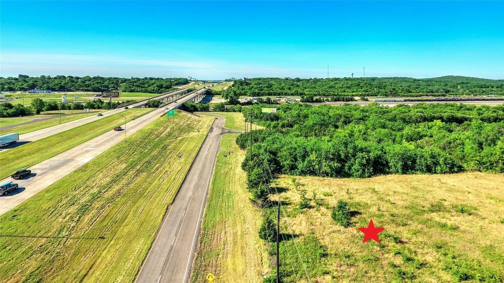
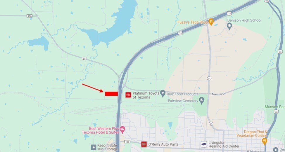
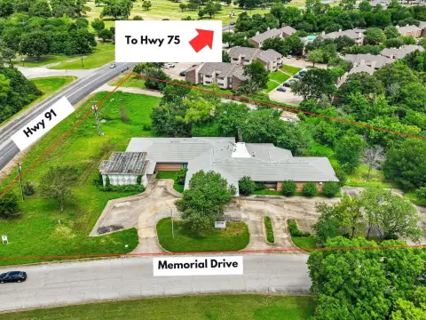
Offering approximately 6.2 acres of rectangular land in City limits, this property presents 216 feet of road frontage on the Hwy 75 access road. The site is positioned for flexibility, whether you’re planning future development or looking for a long-term hold strategy to benefit from growth in the Denison area. The property currently has Agricultural zoning and carries a Beehive AG exemption in place.
The land is located in the Highway Oriented and Corridor District and is described as being about an hour north of the DFW metroplex via US 75. Public remarks also note proximity to the coming Margaritaville Resort community with a stated $6 billion project value connected to Lake Texoma, and closeness to a proposed Dallas North Tollway expansion. Electric is described as available, and a water line is located just off Hwy 75.
For buyers seeking underutilized acreage, the current zoning and frontage can support a range of development approaches, subject to verification. The combination of utilities availability and straightforward access along Hwy 75 may make this an attractive option for investors targeting value creation over time, while the existing AG exemption provides a financial consideration for eligible ownership structures.
Key Highlights
- 6.2 AC land in Denison within city limits on a US 75 access road
- 216 ft of road frontage; rectangular‑shaped tract suitable for development or long‑term holding
- Zoned Agricultural and located in the Highway Oriented and Corridor District
Property Analytics
Property Profile
Location Intelligence
Current Use by Public Records
Agricultural land / Farmland
Similar For Sale Nearby


FAQs
What type of property is this?
Agricultural land / Farmland - Rectangular acreage with 216 feet of frontage, in-city limits with utilities available and multiple development and hold opportunities.
Where is this agricultural land / farmland located?
The property is located at 6.2 AC Highway 75 Denison, TX.
What is the asking price?
The asking price for this property is $1,500,000.
What are key features of this property?
This property features: 6.2 AC land in Denison within city limits on a US 75 access road; 216 ft of road frontage; rectangular‑shaped tract suitable for development or long‑term holding; Zoned Agricultural and located in the Highway Oriented and Corridor District


