Agricultural Land
For Sale
Under Contract
$550,000
Deer Creek Road lot 4, Missoula, MT 59802
Land, Missoula, MT
Property SizeContact for details
Lot Size6.05 Acres
Days on Market251
Property Features for Deer Creek Road lot 4
General Information
Property type
Land
Property subtype
Other
Zoning
Agricultural
Zoning description
AGRR5
Lot features
Views, Level
Directions
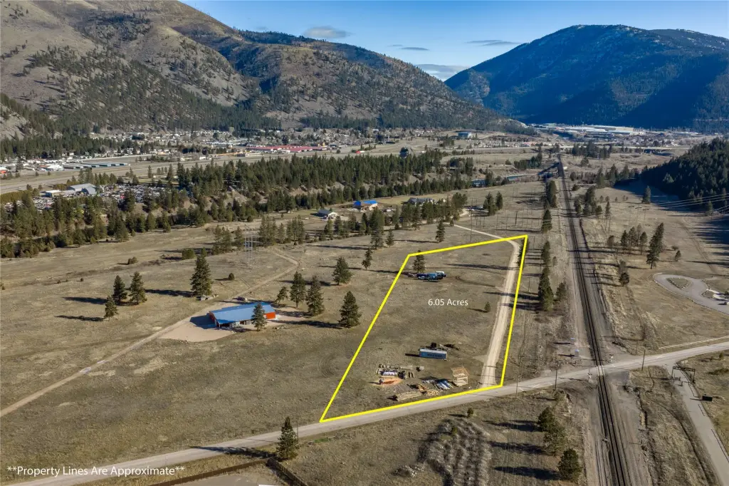
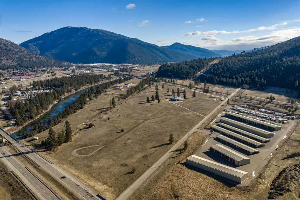
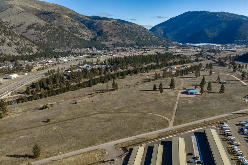
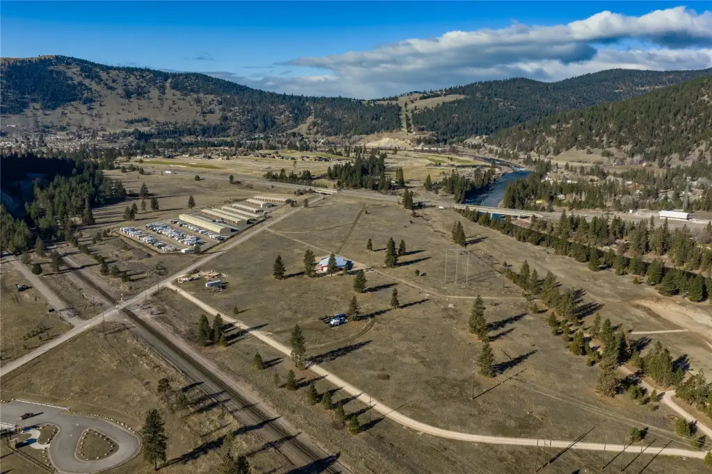
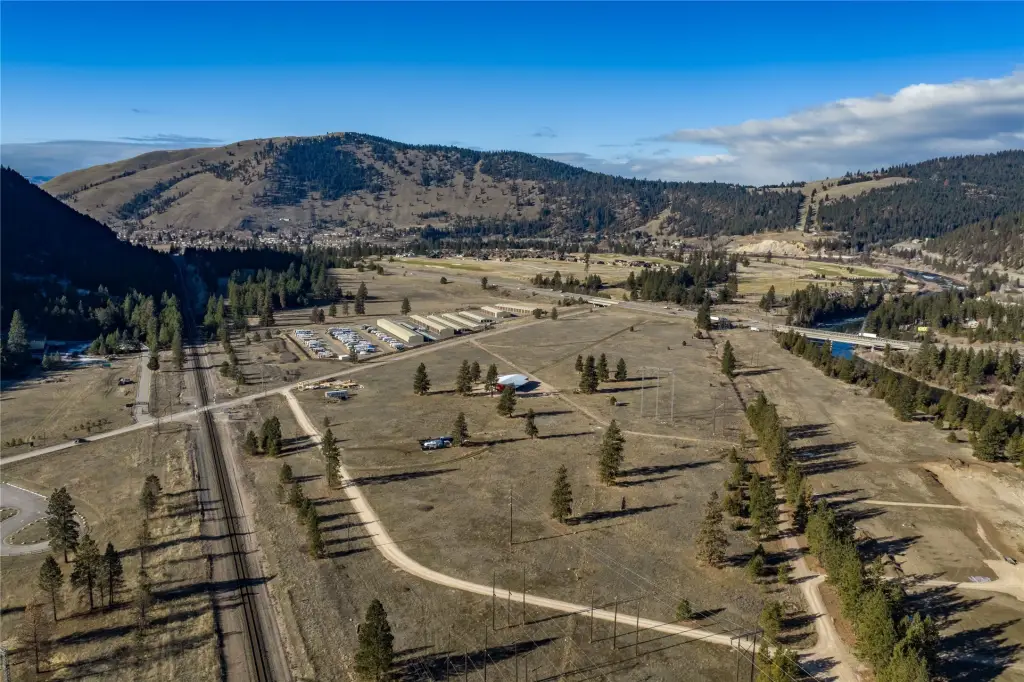
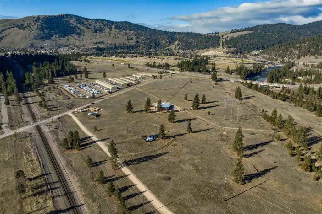
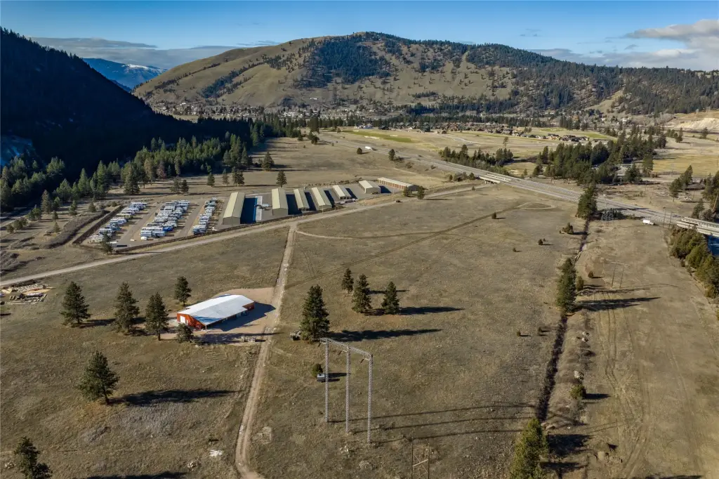
From Highway 200 E, turn onto Speedway Avenue, turn left on Deer Creek Road. Drive approximately 1.6 miles through Canyon River Golf Course. Lot 4 will be on the left, across from Canyon RV & Self Storage.
Standard status
Active Under Contract
APN
04220120101130000
Lot size
6.05 Acres
Taxes and HOA fees
Tax Year
2026
Tax Description
S20, T13 N, R18 W, Lot 4 The Wustner Minor Subdivision full legal TBD upon recording of subdivision
Legal Description
S20, T13 N, R18 W, Lot 4 The Wustner Minor Subdivision full legal TBD upon recording of subdivision
Listing Agency:
ERA Lambros Real Estate Missoula · ERA Real Estate
(406) 532-9200
Listed By:
Adam Hertz · License #RRE-RBS-LIC-24957
(406) 239-1865
Added: Jan 27
Changed: Sep 10
Last Checked: Oct 5 at 9:06AM
MLS# 30064483
Copyright © 2026 Montana Regional MLS. All rights reserved. All information provided by the listing agent/broker is deemed reliable but is not guaranteed and should be independently verified.
Investment Insights
Based on property information with market context.
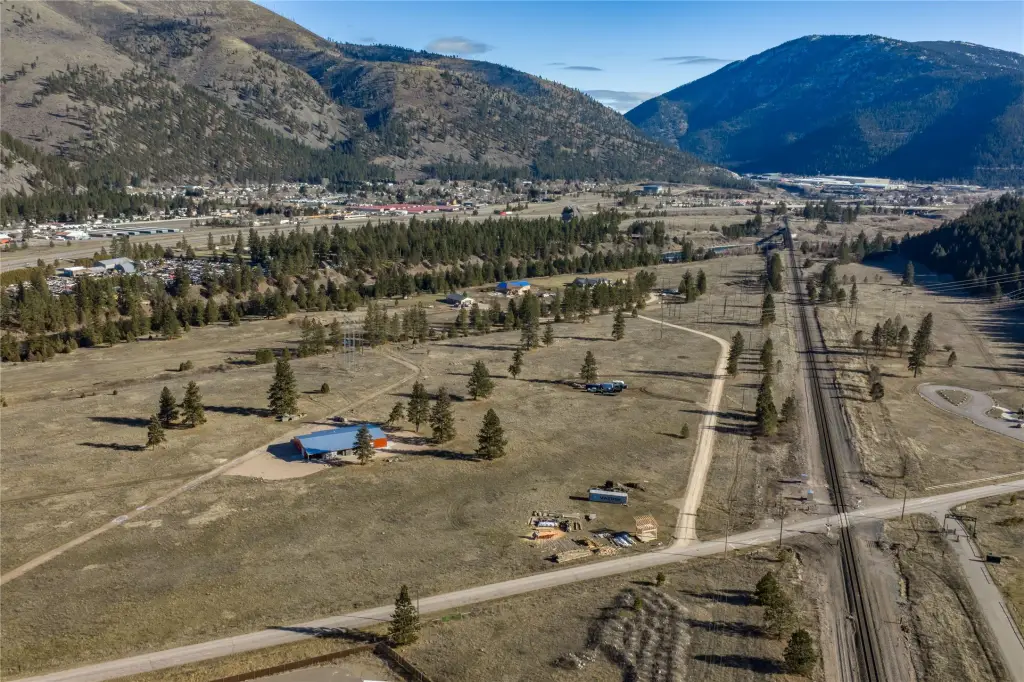
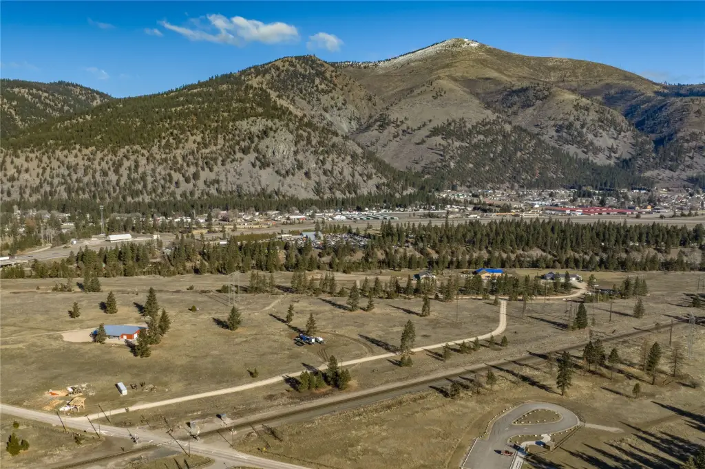
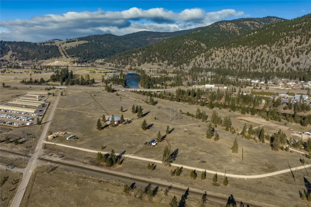
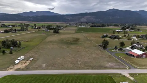
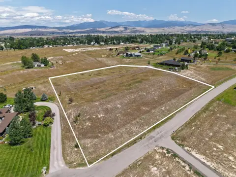
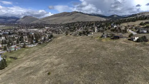
This 6.05-acre agricultural land parcel is located west of Missoula along Deer Creek Road. The property is part of a larger tract with preliminary plat approval from Missoula County, while final plat approval is expected in Spring of 2026. Agricultural zoning supports a range of stated uses, including a single-family home, accessory dwelling unit, agricultural buildings, livestock, and small-scale farming.
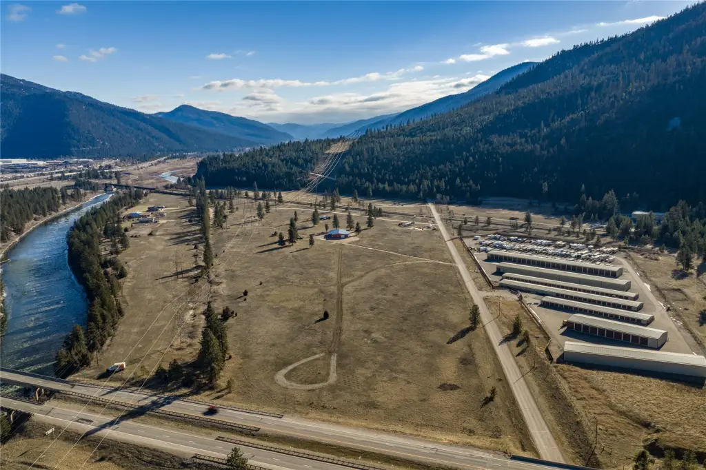
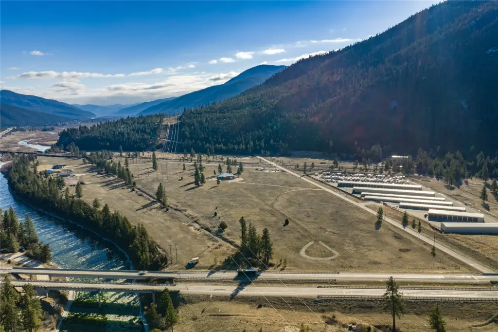
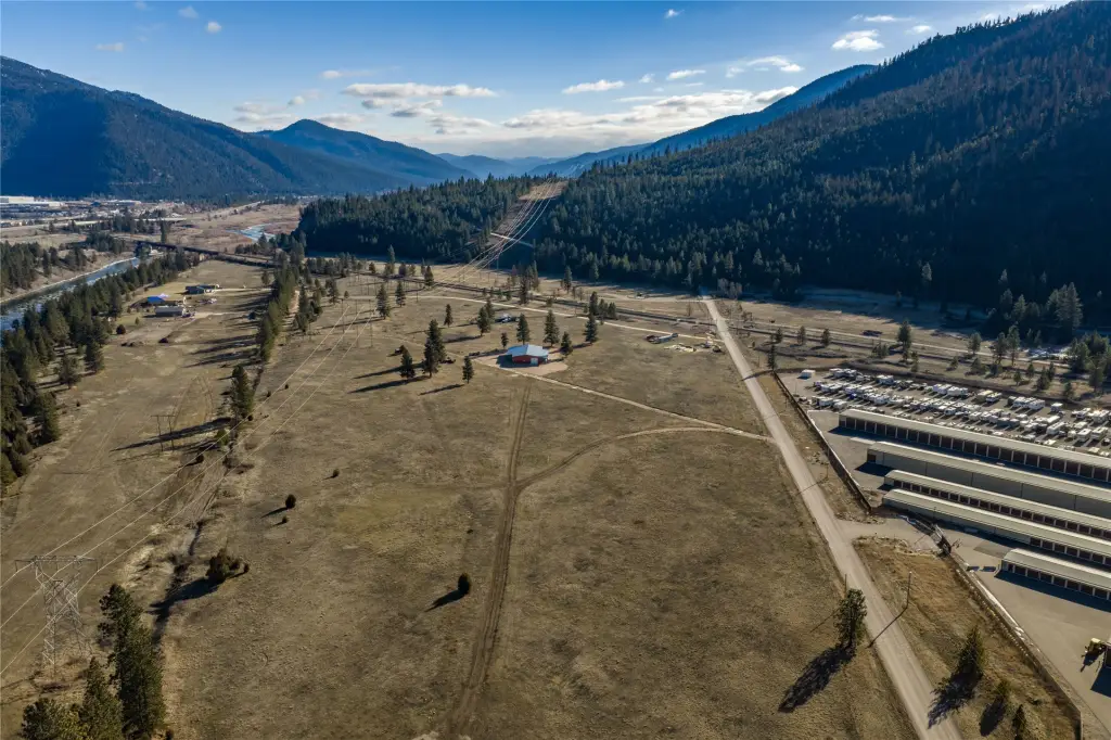
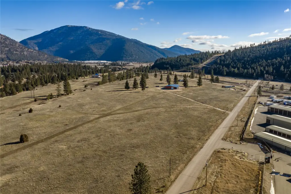
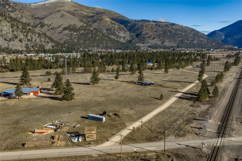
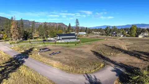
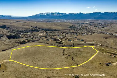
Electricity is available at the property, and the site provides access for future infrastructure and development. Canyon RV & Self Storage borders the parcel to the west, undeveloped land lies to the north, and the Montana Rail Link right-of-way forms the southern boundary. The rural setting is positioned near Missoula and its surrounding amenities.
Electricity is available at the property, and the site provides access for future infrastructure and development. Canyon RV & Self Storage borders the parcel to the west, undeveloped land lies to the north, and the Montana Rail Link right-of-way forms the southern boundary. The rural setting is positioned near Missoula and its surrounding amenities.
Key Highlights
- 6.05‑acre agricultural land parcel
- Agricultural zoning supports a single‑family home, accessory dwelling unit, agricultural buildings, livestock, and small‑scale farming
- Preliminary plat approval received from Missoula County
Property Analytics
Unlock full access to Insights
Subscribe to Realmo Intelligence
Open Analytics
Current Use
Lease Details
Yes
Paved road access
Location Intelligence
Trade Area within ½ mile
28
Businesses Nearby
Explore this area
Business Placement
Demographics for 59802, MT
19,892
Population
10,416
Households
1.9
Avg Household Size
37
Median Age
52%
College-Educated
96%
High-School Grad
45.4 sq mi
ZIP Area
438
Density / Sq Mi
$65,054
Median Household Income
$36,541
Median Earnings
$1,021
Median Rent
$420,200
Median Home Value
Check the figures for this property
Cap Rate, Value Estimation, Potential NOI and more
View Realmo Analytics

Questions? Ask Rey
Realmo’s AI knows this listing — price, zoning, demand, history. Ask anything.


Frequently Asked Questions
What type of property is this?
Agricultural land / Farmland - Agriculturally zoned acreage with electricity available and preliminary plat approval for a rural site near Missoula.
Where is this agricultural land / farmland located?
The property is located at Deer Creek Road lot 4 Missoula, MT.
What is the asking price?
The asking price for this property is $550,000.
What are key features of this property?
This property features: 6.05‑acre agricultural land parcel; Agricultural zoning supports a single‑family home, accessory dwelling unit, agricultural buildings, livestock, and small‑scale farming; Preliminary plat approval received from Missoula County



