Prime Level Commercial Development
Chandler Lane Mt Sterling, KY 40353
For Sale
$592,000
LAND - Mt Sterling, KY
Lot Size18.10 Acres
Days on Market48
Property Features for Chandler Lane
General Information
Property type
Land
Property subtype
Other
Standard status
Active
APN
030-00-00-029.20-22
Lot size
18.10 Acres
Utilities
Utilities
Water Available
Listing Agency:
RE/MAX Creative, Winchester
(859) 422-2000
Listed By:
James Woodrum · License #210324
(859) 492-0737
Added: Jun 12
Changed: Jun 13
Last Checked: Jul 29 at 12:06AM
MLS# 26013695
Copyright © 2026 ImagineMLS. All rights reserved. All information provided by the listing agent/broker is deemed reliable but is not guaranteed and should be independently verified.
Investment Insights
Based on property information with market context.
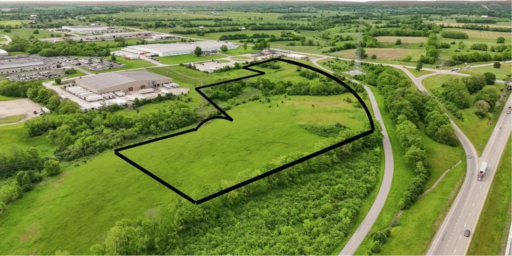
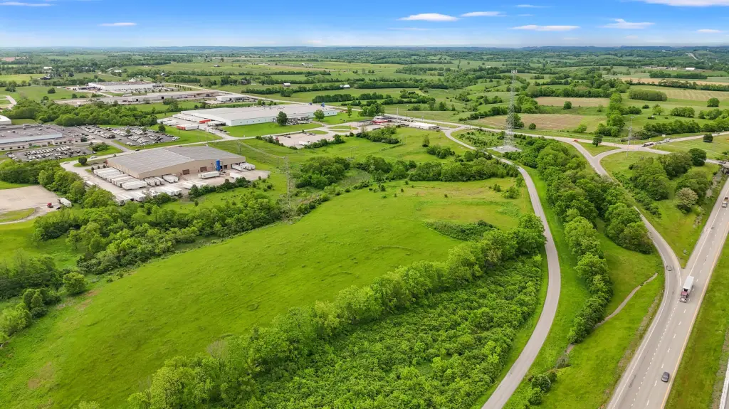
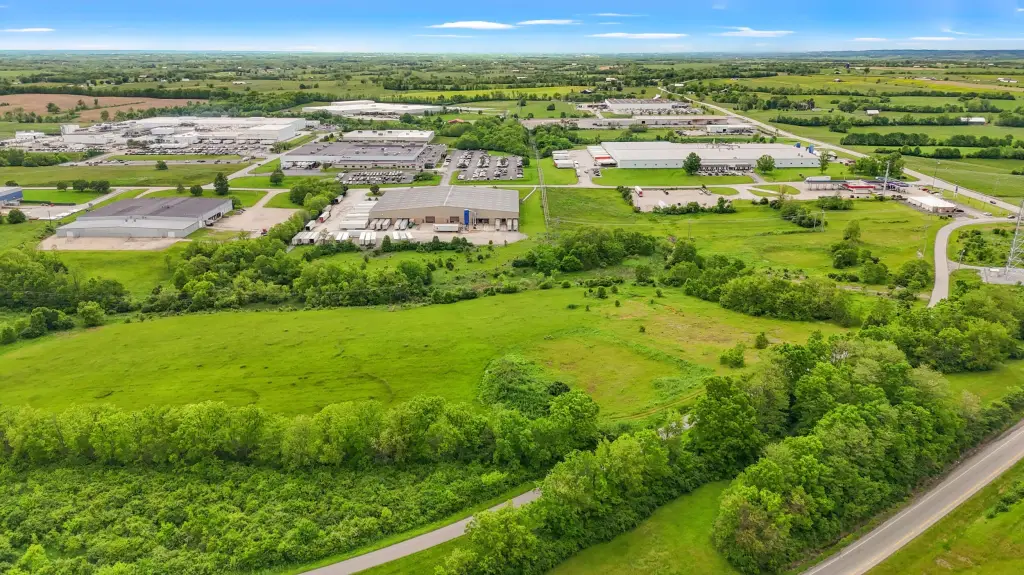
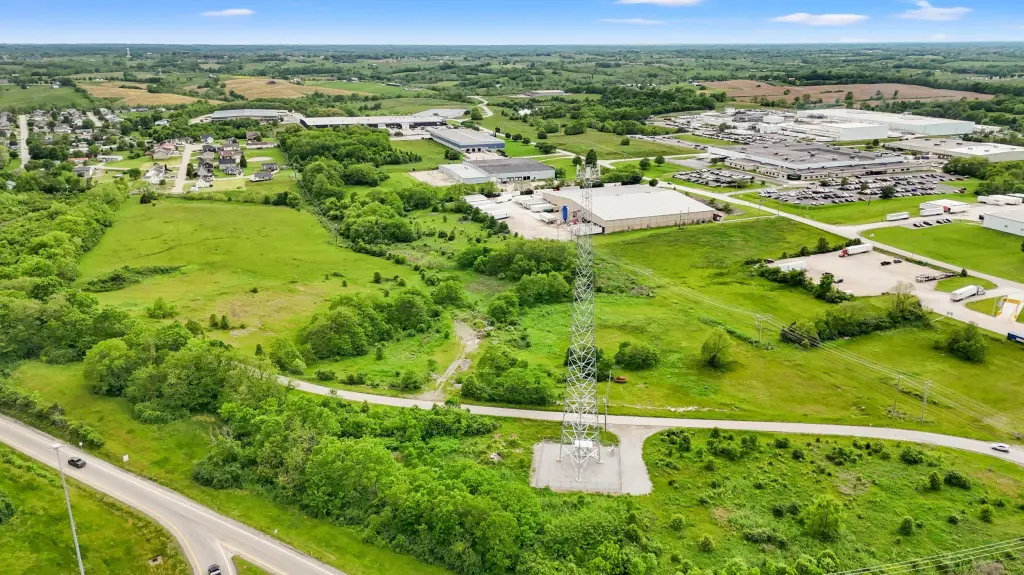
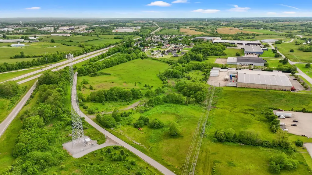
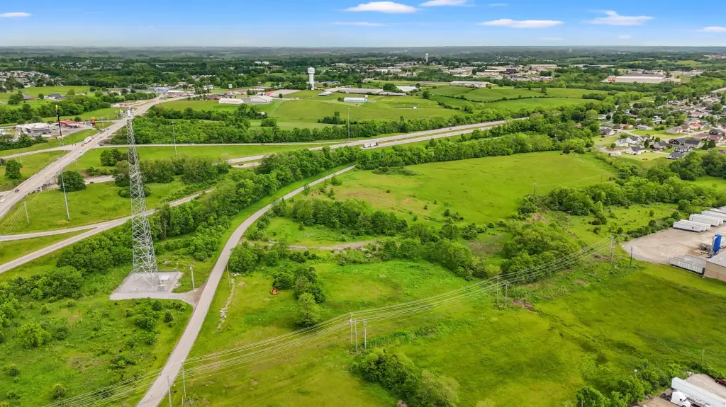
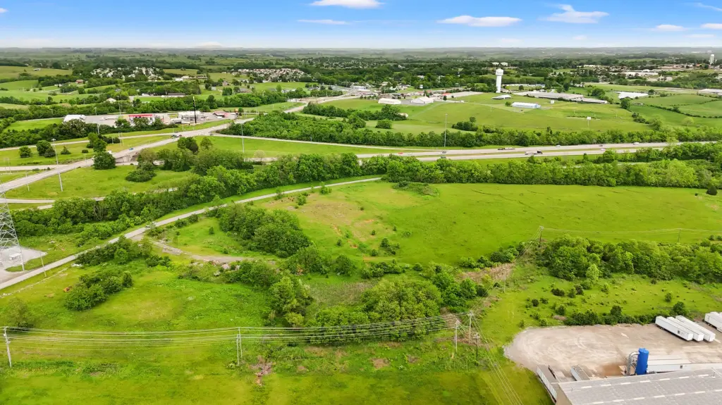
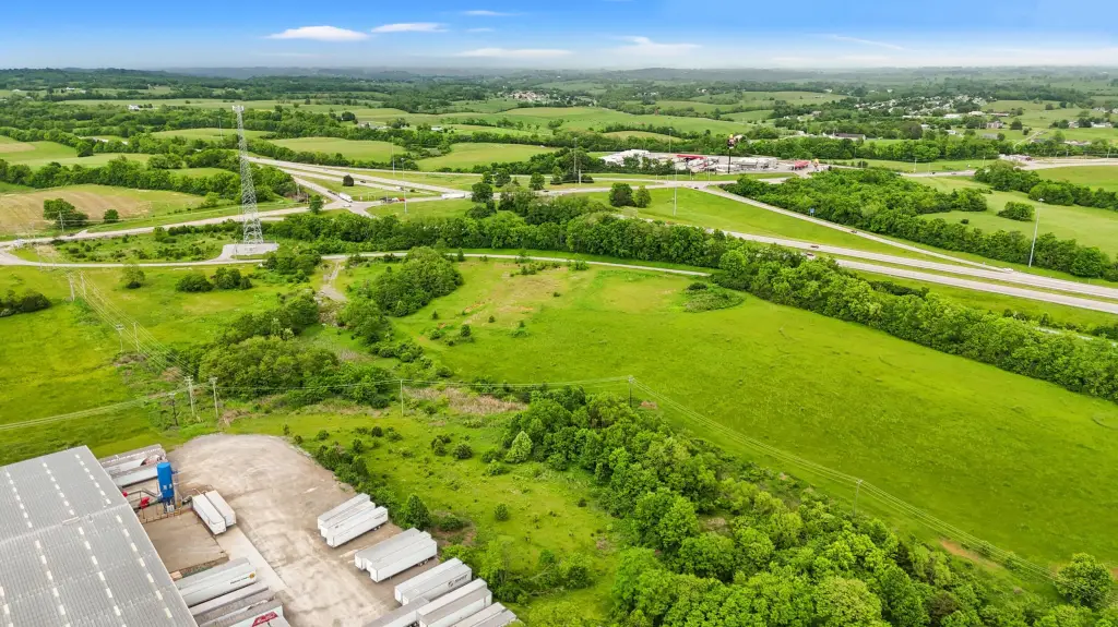
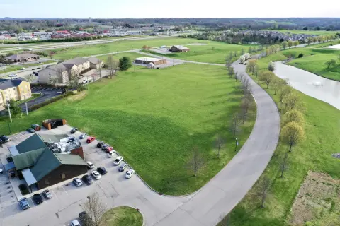
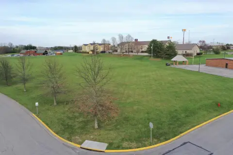
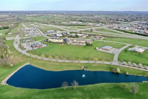
The offering is 18.1 acres of level commercial development land presented as ready for future buildout. The property is described as having all utilities available, including electricity, water, gas, and sewer. The land is currently zoned commercial.
Access to the interstate is described as a couple of minutes to I-64 at exit #113. The listing also notes that the site is less than an hour from either Lexington (west) or Morehead (east), which can support a broader regional trade draw.
For buyers considering development, the combination of flat topography and available utilities is intended to reduce early site-prep hurdles. While the property is currently zoned commercial, the remarks state that local authorities indicate it could potentially be changed to residential, which the seller recommends treating as a purchase contingency. Interested parties should confirm feasibility and timing for any zoning change with the applicable authorities.
Key Highlights
- 18.1 acres of level land ready for development
- Utilities available: electricity, water, gas, and sewer
- Zoned commercial; potential for rezoning to residential per local authorities (buyer to confirm)
Property Analytics
Property Profile
Location Intelligence
Current Use


Frequently Asked Questions
What type of property is this?
Commercial land - Level, utility-ready commercial land with quick access to I-64 for planned development in the Mt. Sterling area.
Where is this commercial land located?
The property is located at Chandler Lane Mt Sterling, KY.
What is the asking price?
The asking price for this property is $592,000.
What are key features of this property?
This property features: 18.1 acres of level land ready for development; Utilities available: electricity, water, gas, and sewer; Zoned commercial; potential for rezoning to residential per local authorities (buyer to confirm)