Fenced Agricultural Land with
For Sale
$375,000
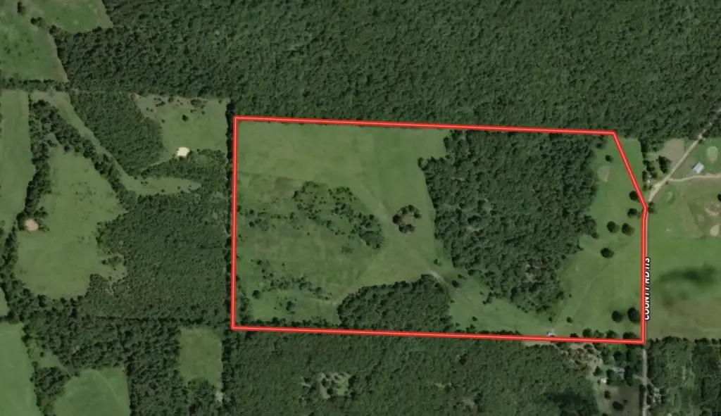
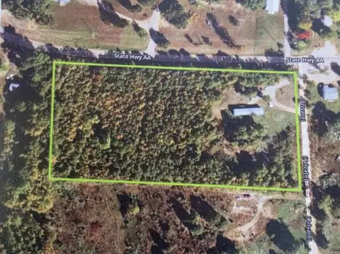
County Road 113, Alton, MO 65606
Land, Alton, MO
Property SizeContact for details
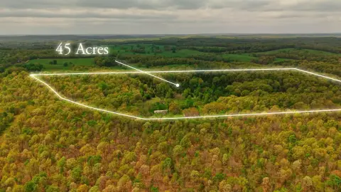
Lot Size77.77 Acres
Days on Market239
Property Features for County Road 113
General Information
Property type
Land
Property subtype
Other
Fencing
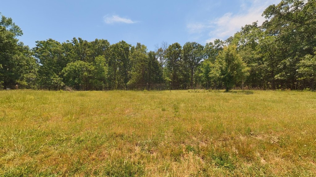
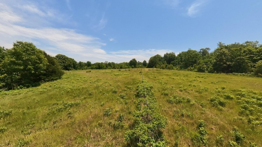
Barbed Wire, Perimeter, Cross Fenced
Lot features
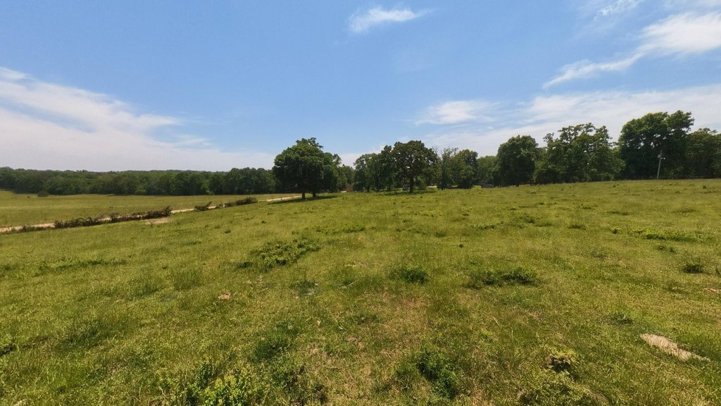
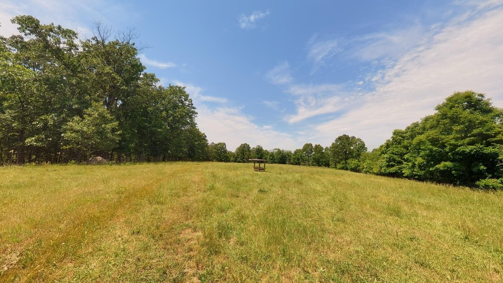
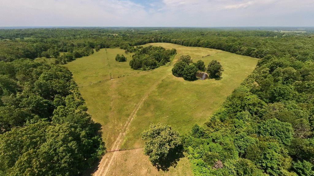
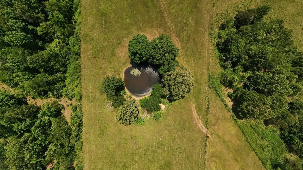
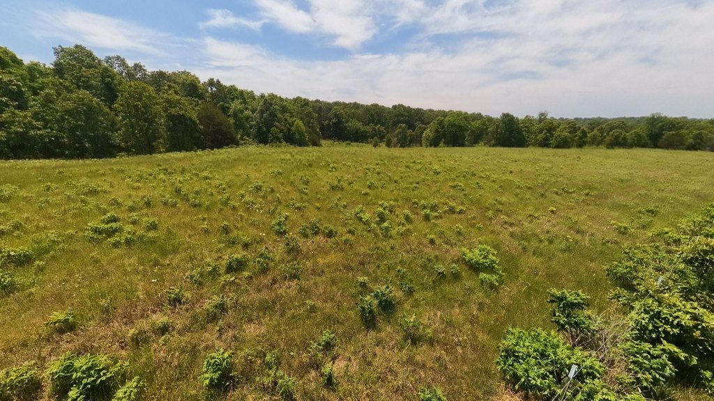
Acreage, Pasture, Secluded, Horses Allowed, Few Trees, Pond(s), Wooded/ Cleared Combo
Elementary school
Alton
Middle school
Alton
High school
Alton
Directions
From Alton, travel Hwy 19 North toward Winona. Turn right on Hwy ''AA'', travel approx. 2.5 miles and turn left on County Road 113. Travel approx. .4 miles, property is on the left. Watch for the sign.
Standard status
Active
APN
12-6.0-24-0-000-0009.01000
Lot size
77.77 Acres
Taxes and HOA fees
Tax Year
2025
Tax Annual Amount
159
Utilities
Utilities
Electricity Available
Listing Agency:
United Country-Cozort Realty, Inc.
(417) 264-7288
Listed By:
Sandra Ross · License #2000157106
(417) 270-0854
Added: Feb 10
Changed: Sep 14
Last Checked: Oct 7 at 9:06PM
MLS# 60315109
Copyright © 2026 Southern Missouri Regional MLS, LLC (SOMO). All rights reserved. All information provided by the listing agent/broker is deemed reliable but is not guaranteed and should be independently verified.
Investment Insights
Based on property information with market context.
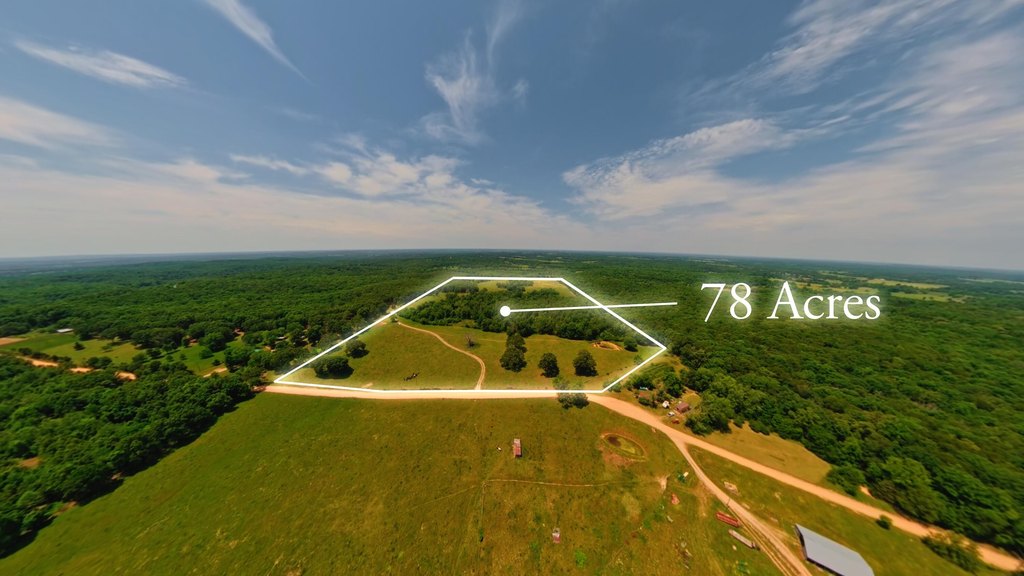
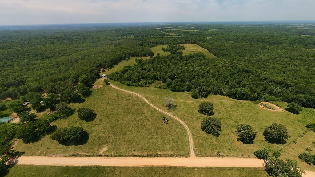
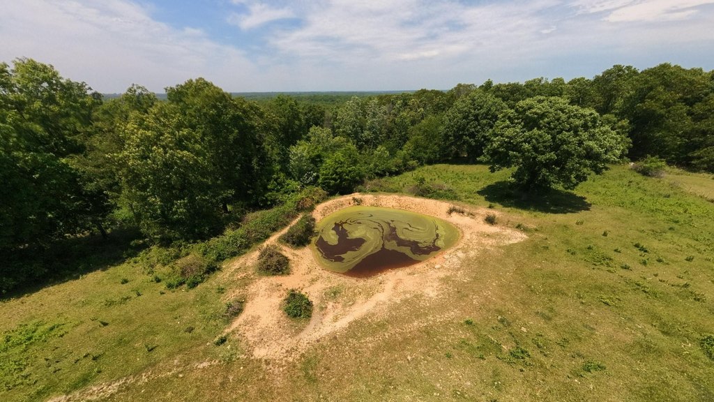
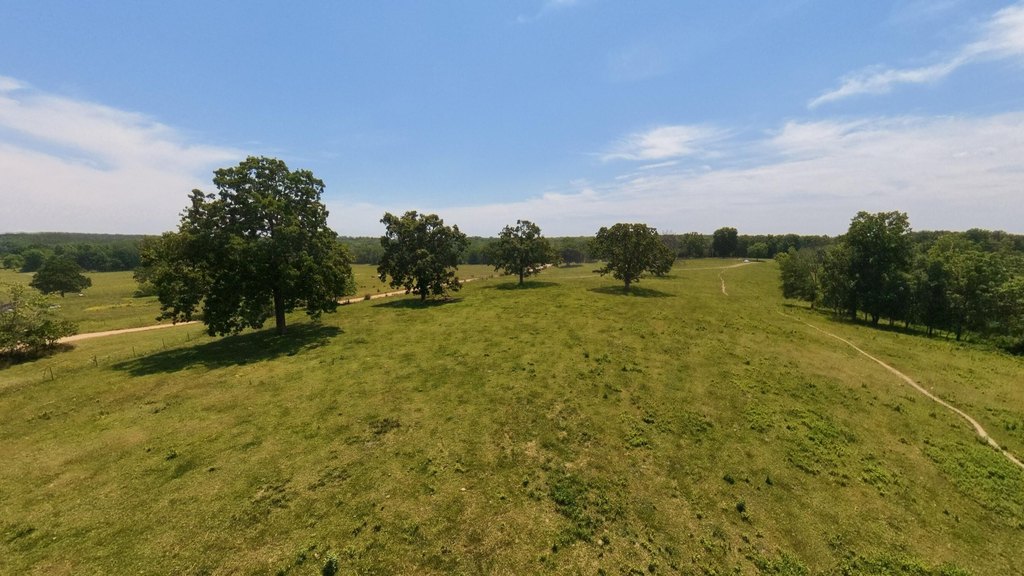
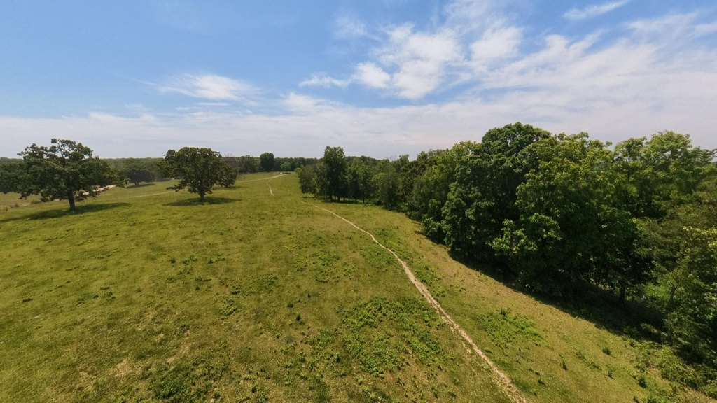
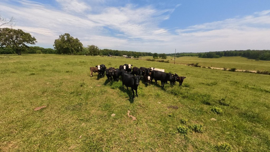
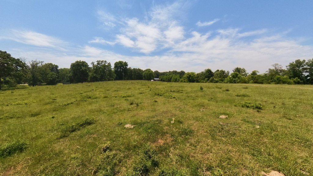
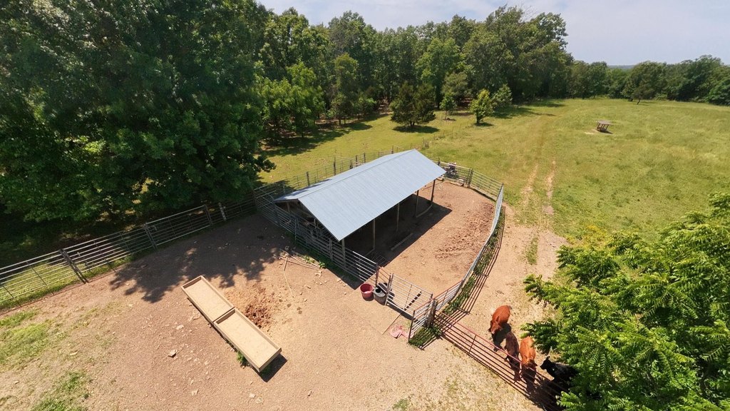
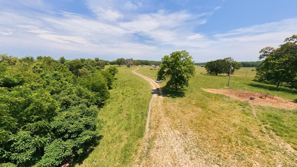
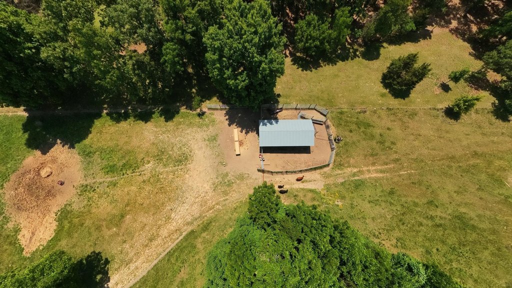
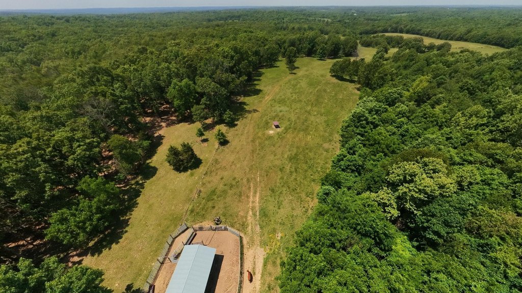
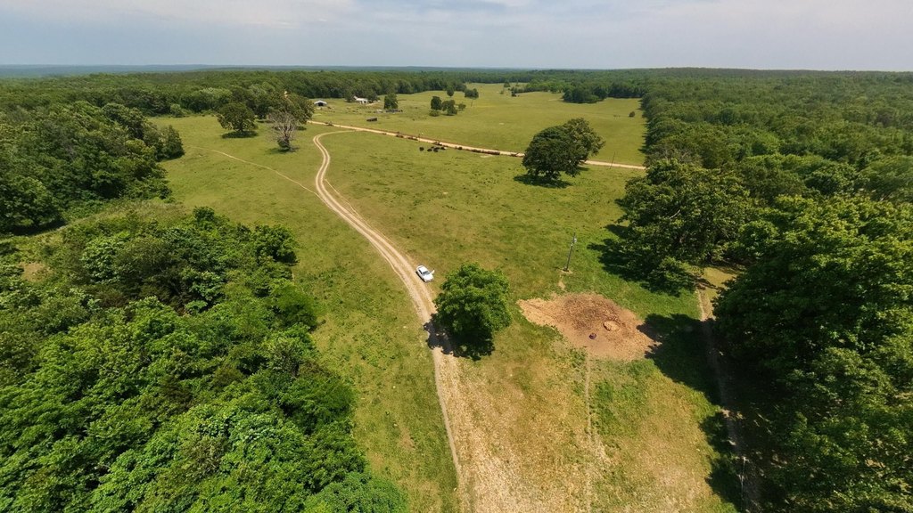
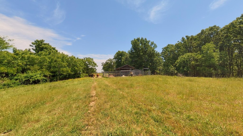
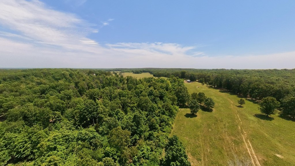
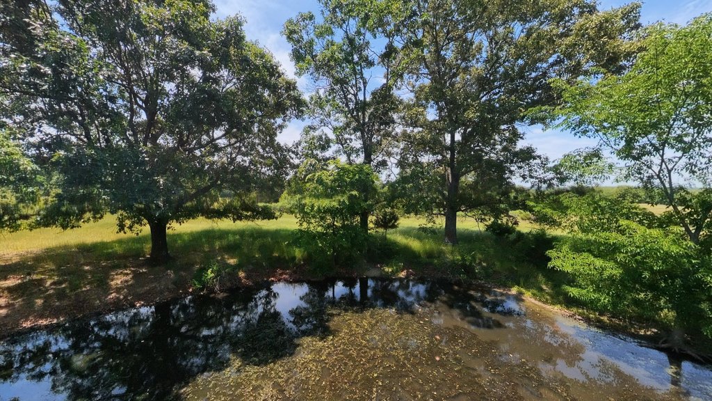
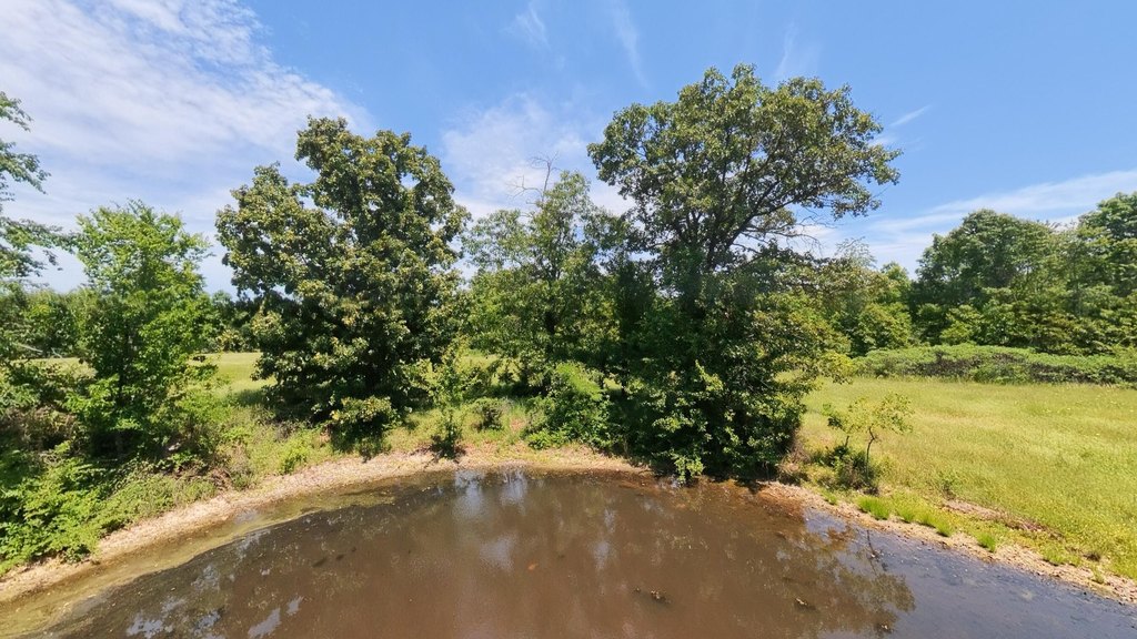
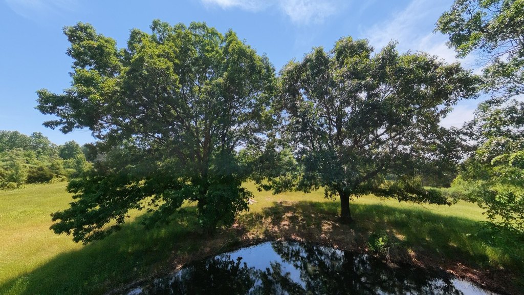
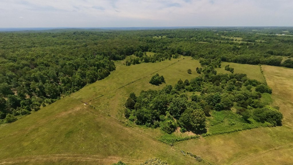
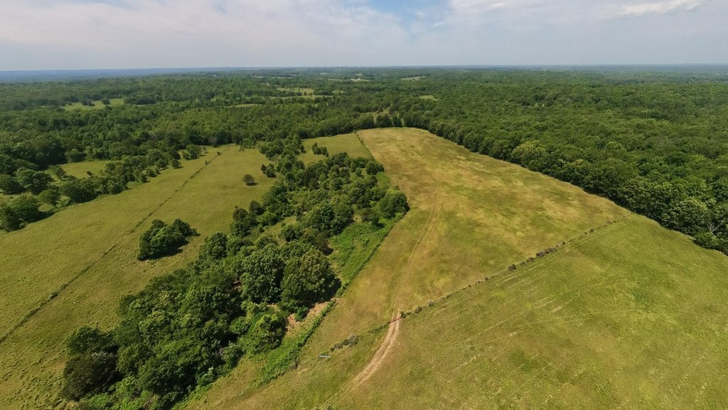
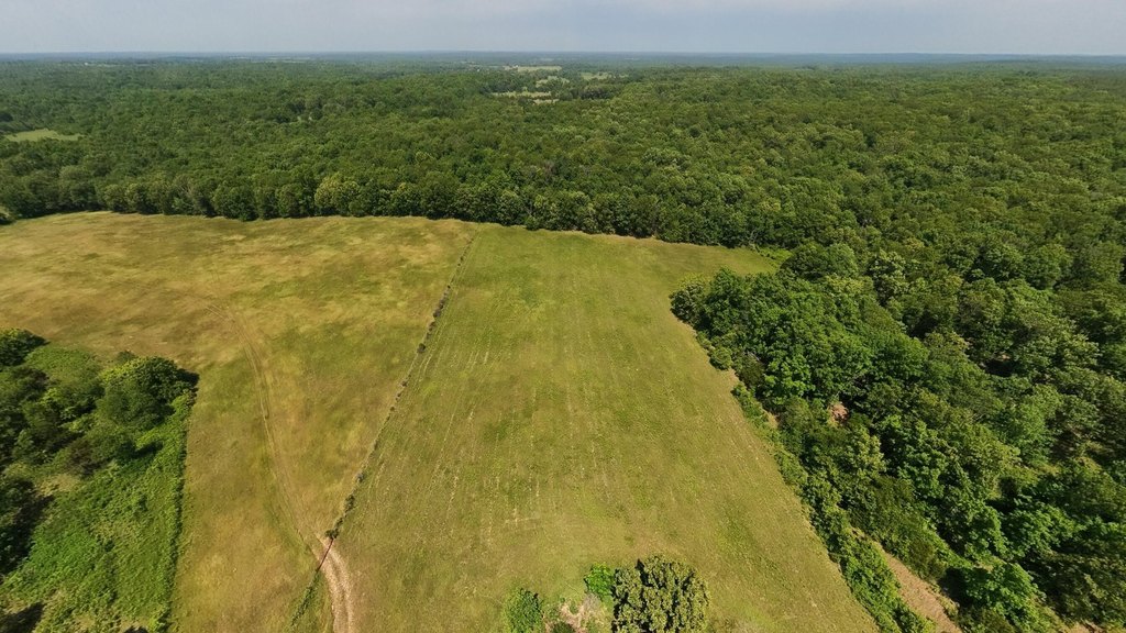
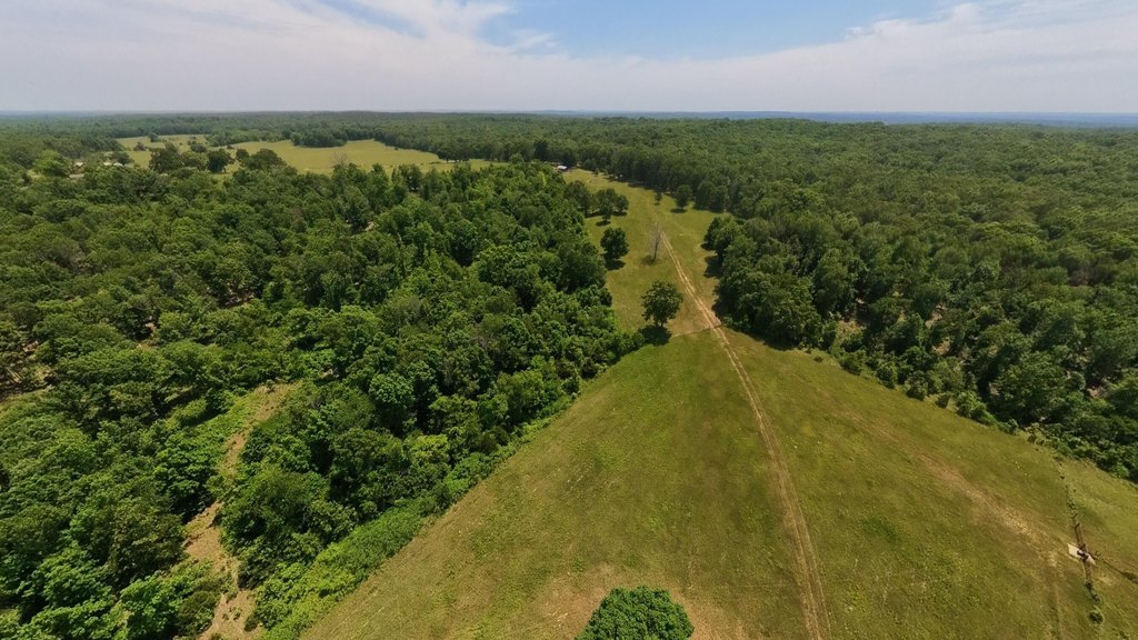
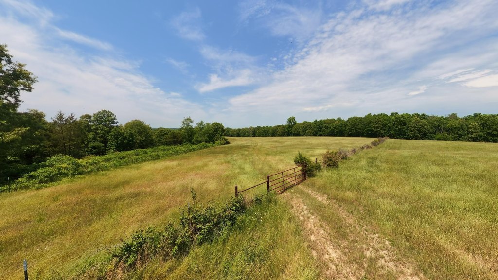
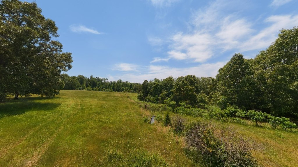
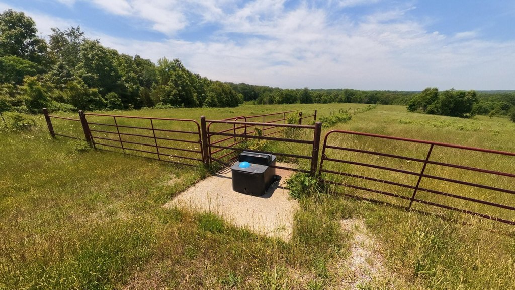
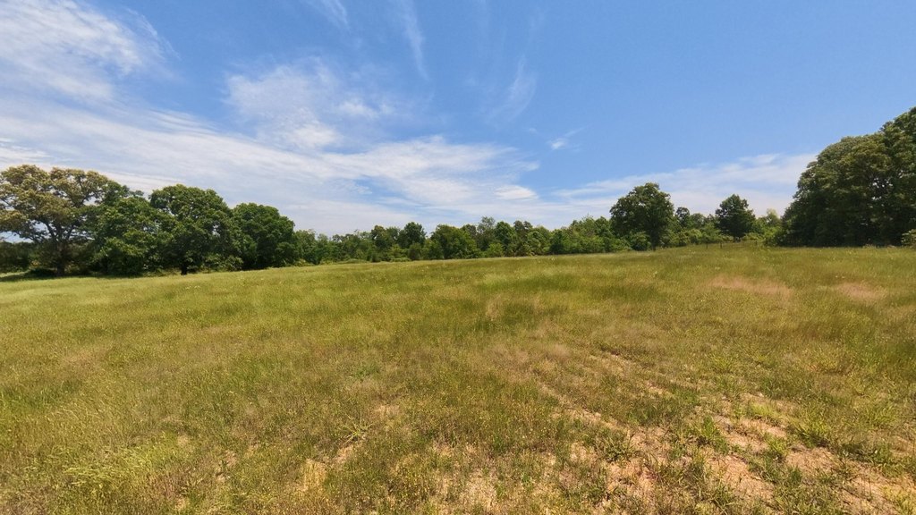
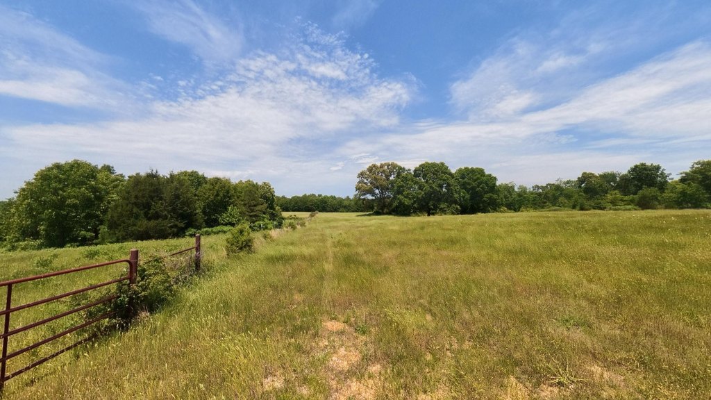
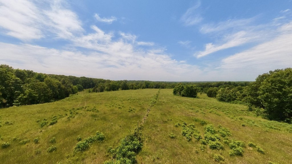
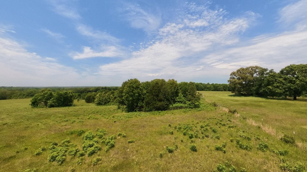
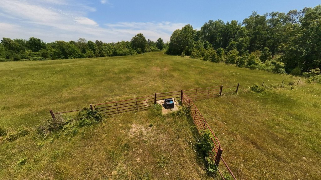
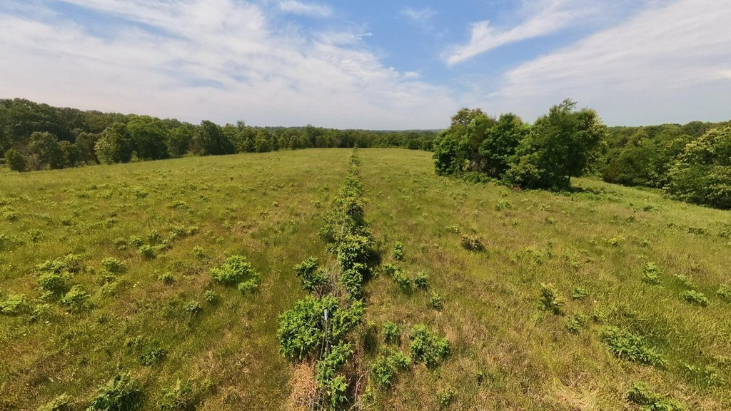
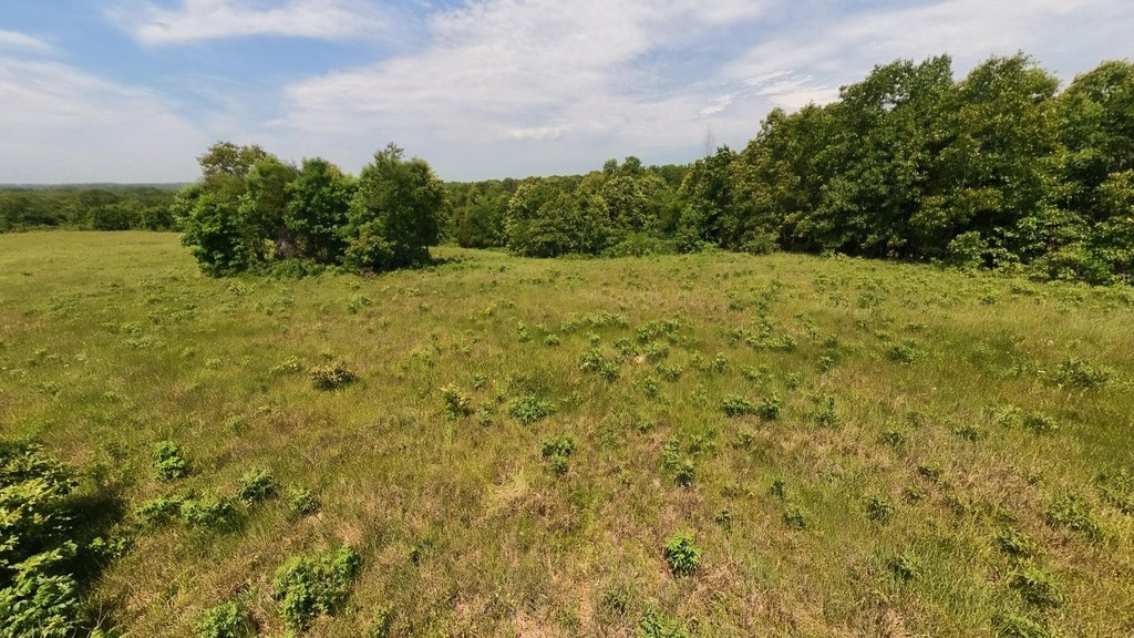
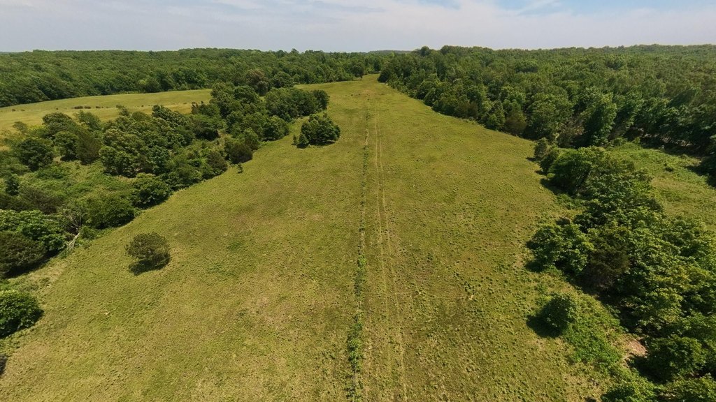
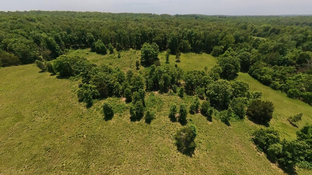
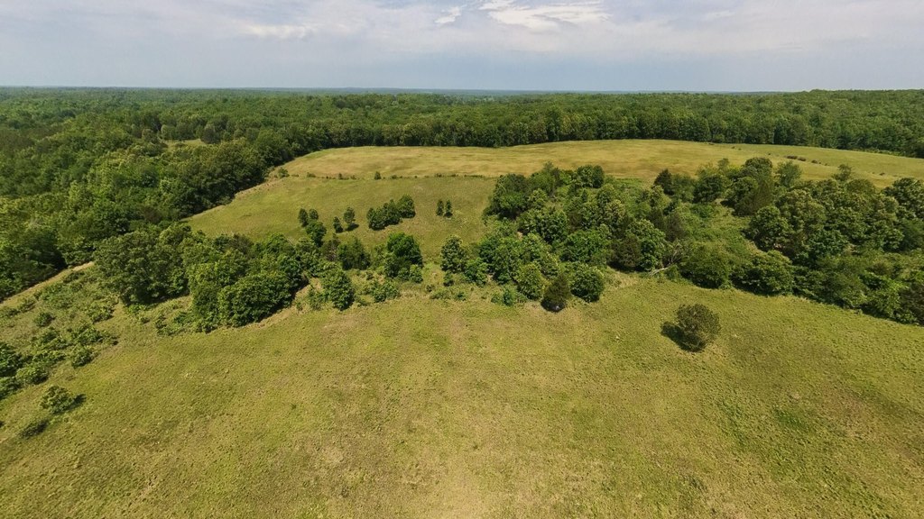
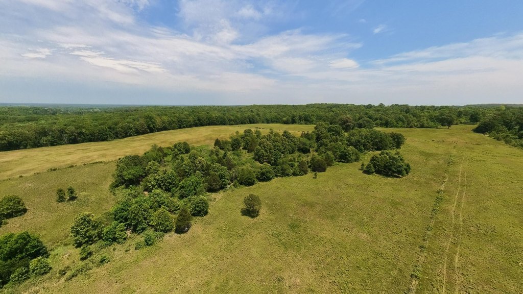
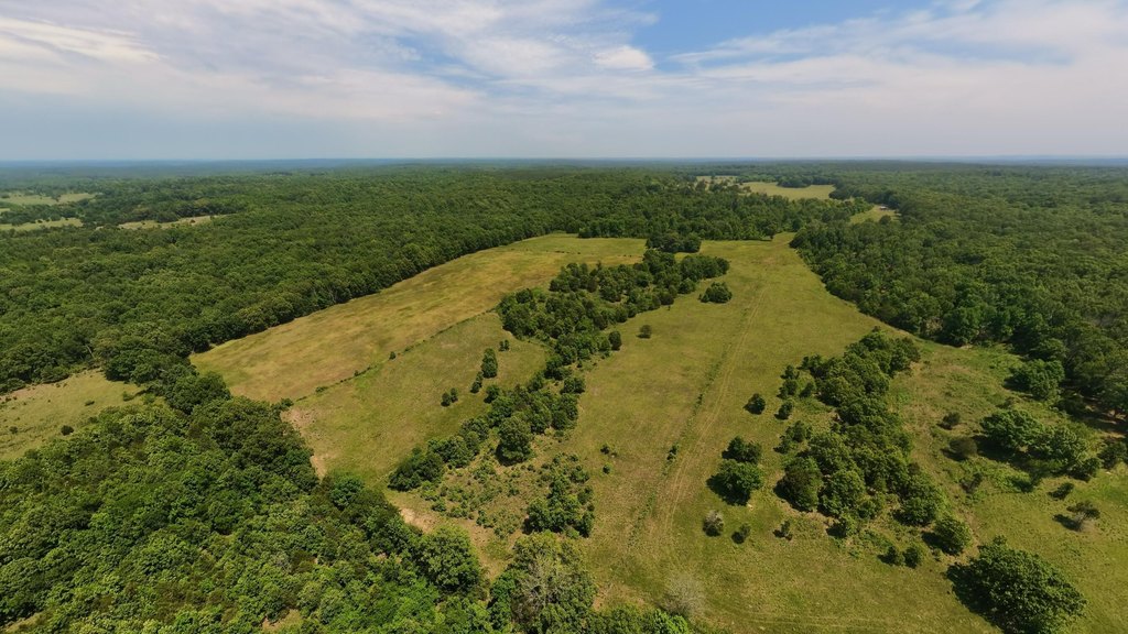
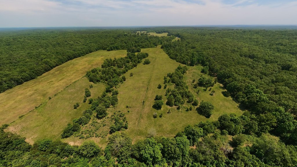
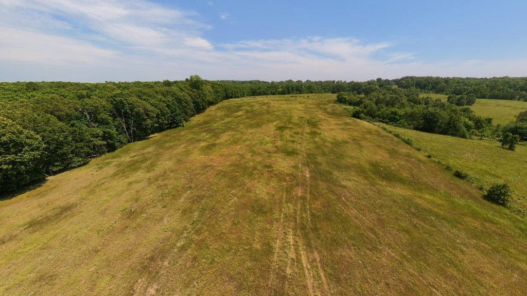
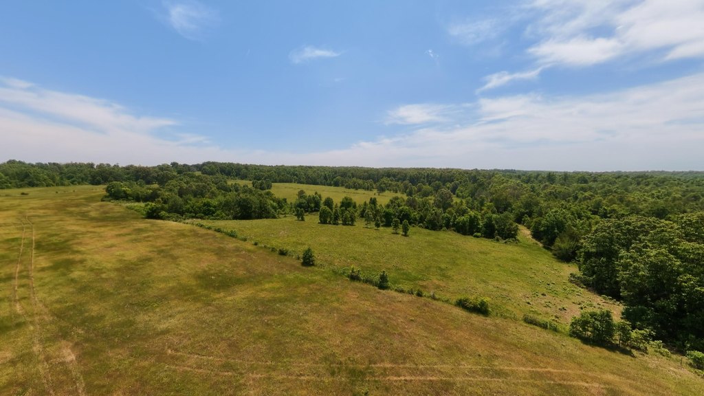
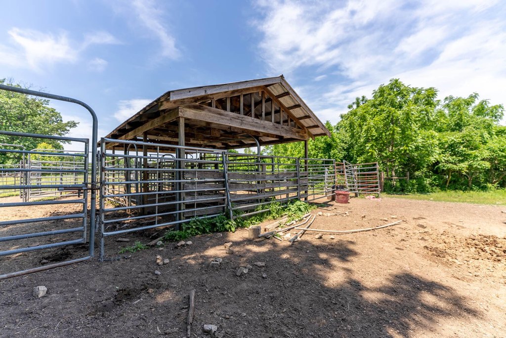
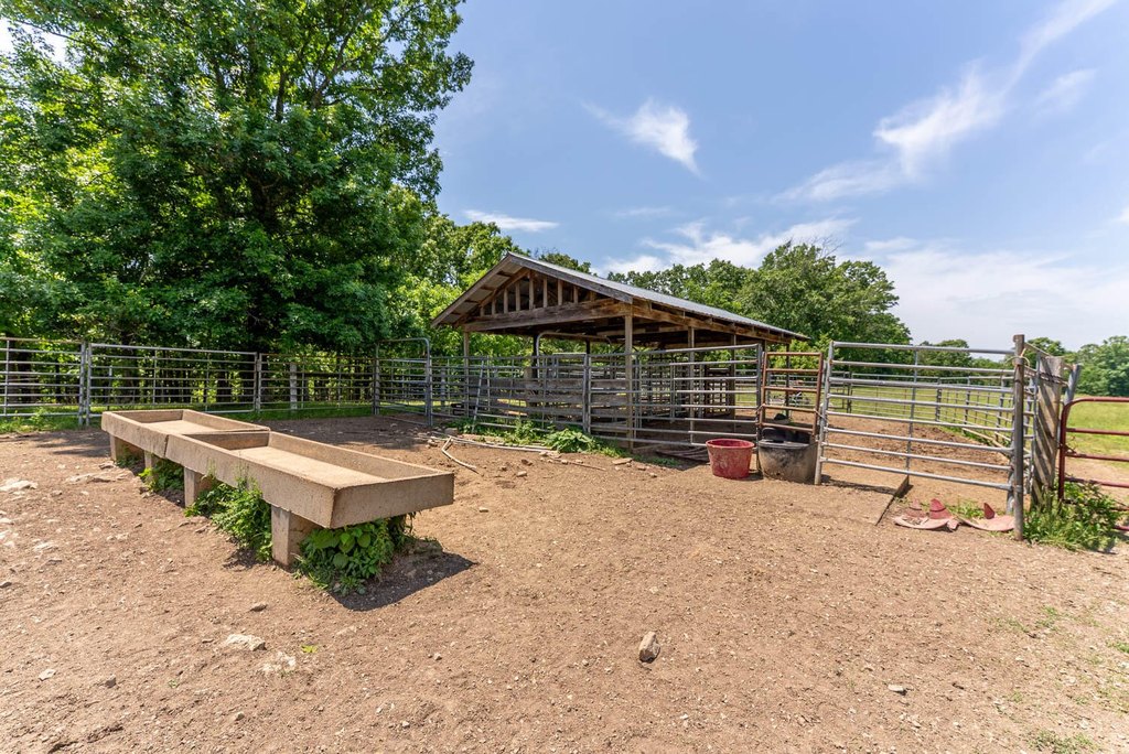
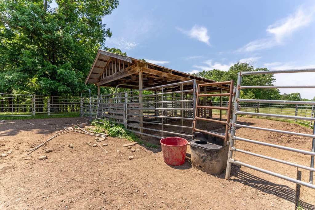
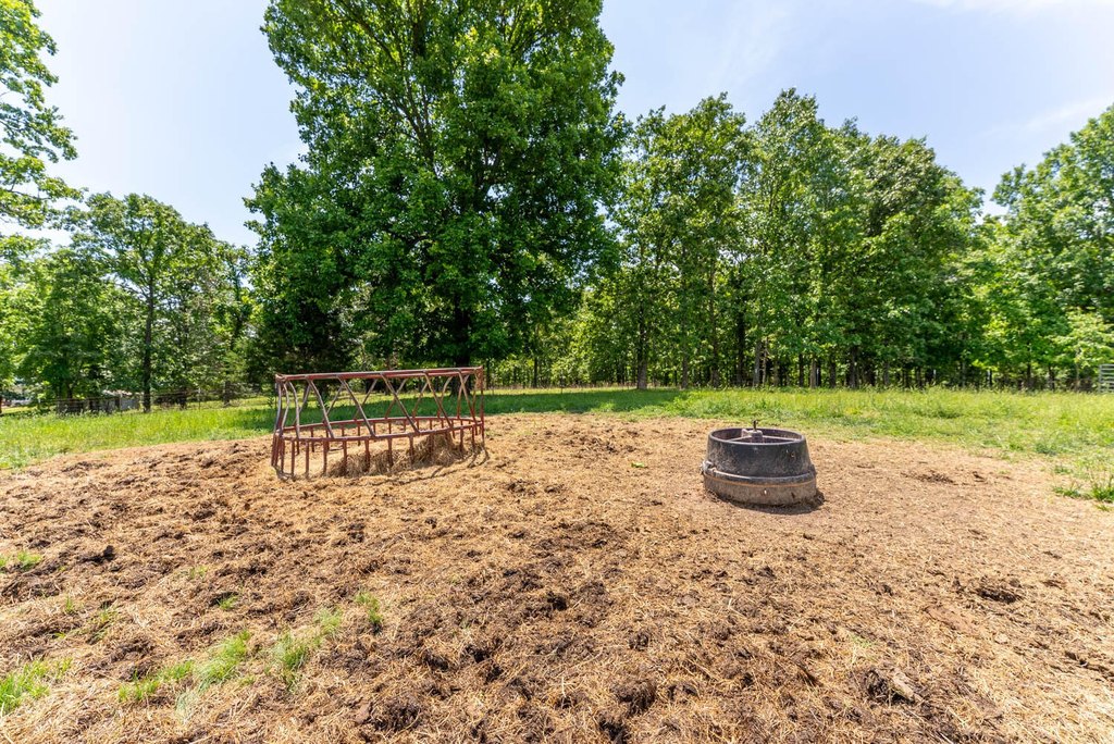
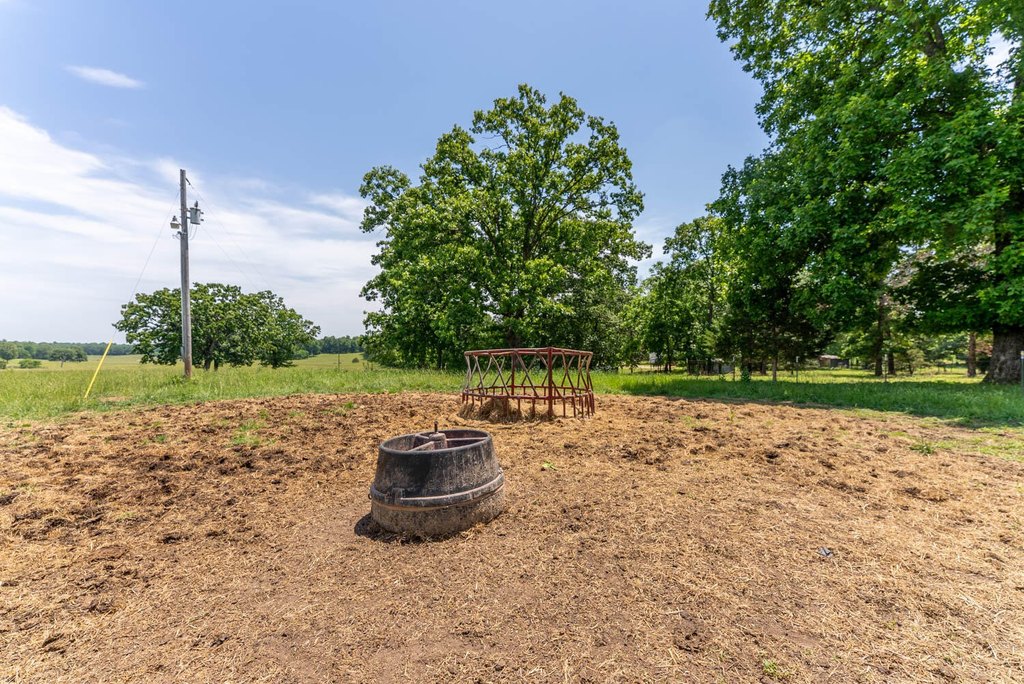
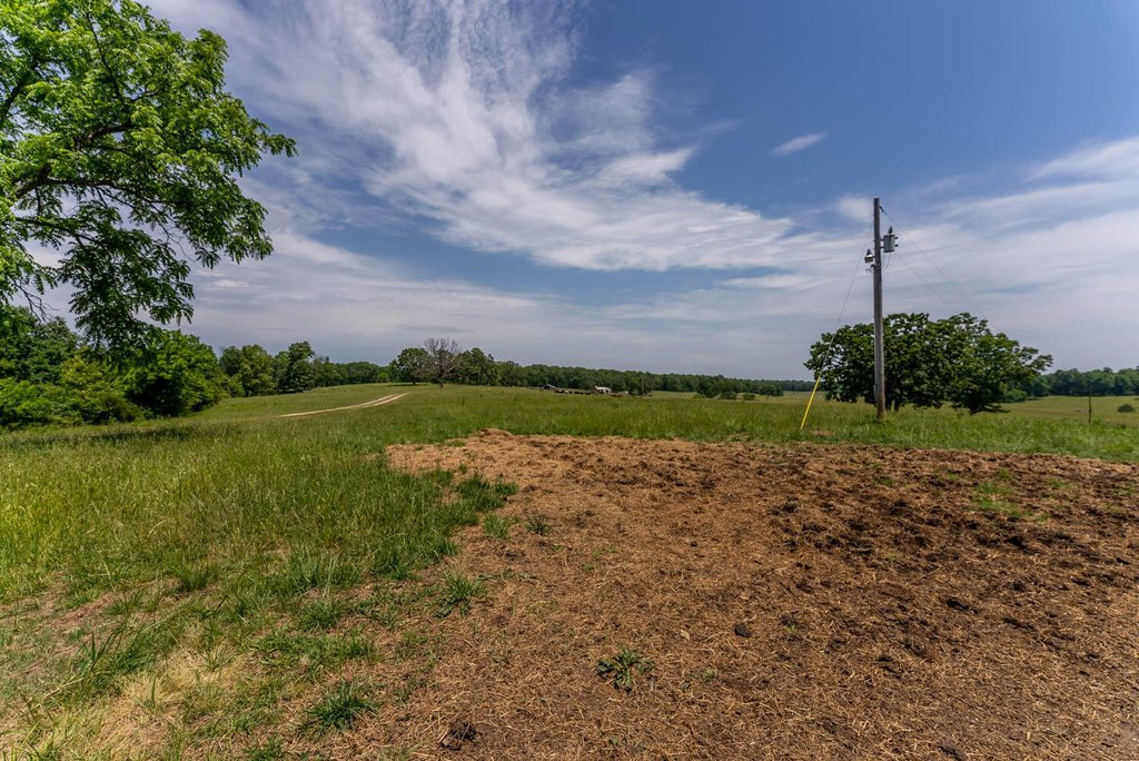
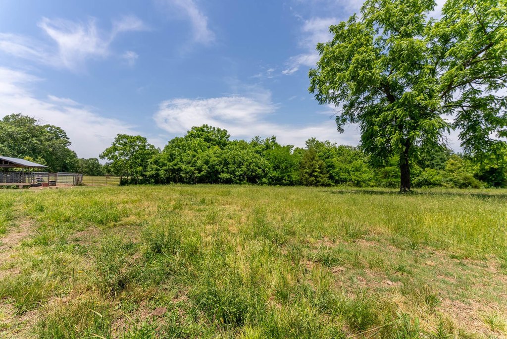
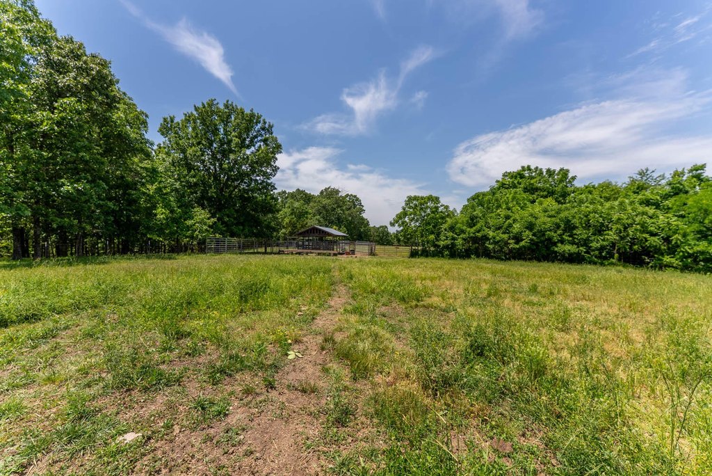
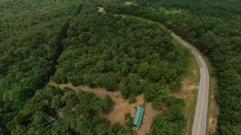
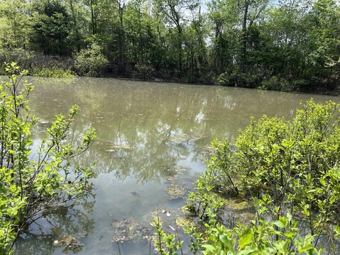
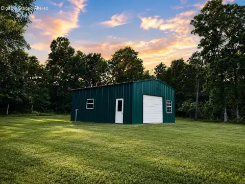
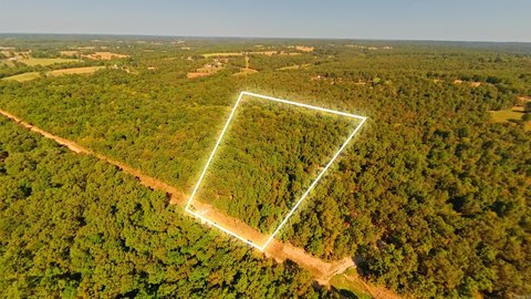
This 77.77-acre agricultural tract combines productive pasture, wooded acreage, scenic Ozarks views, and established livestock improvements. Six cross-fenced pastures contain fescue, native grasses, and a 9-acre Caucasian bluestem field. The property also includes three ponds, two MiraFount automatic waterers, two hydrants, rural water, and electric service on site. A covered corral with working pens, a head chute, and water supports livestock operations, while separate fencing encloses the wooded portion.
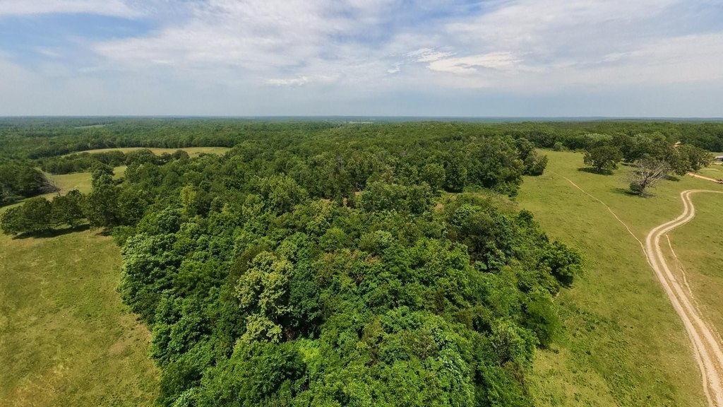
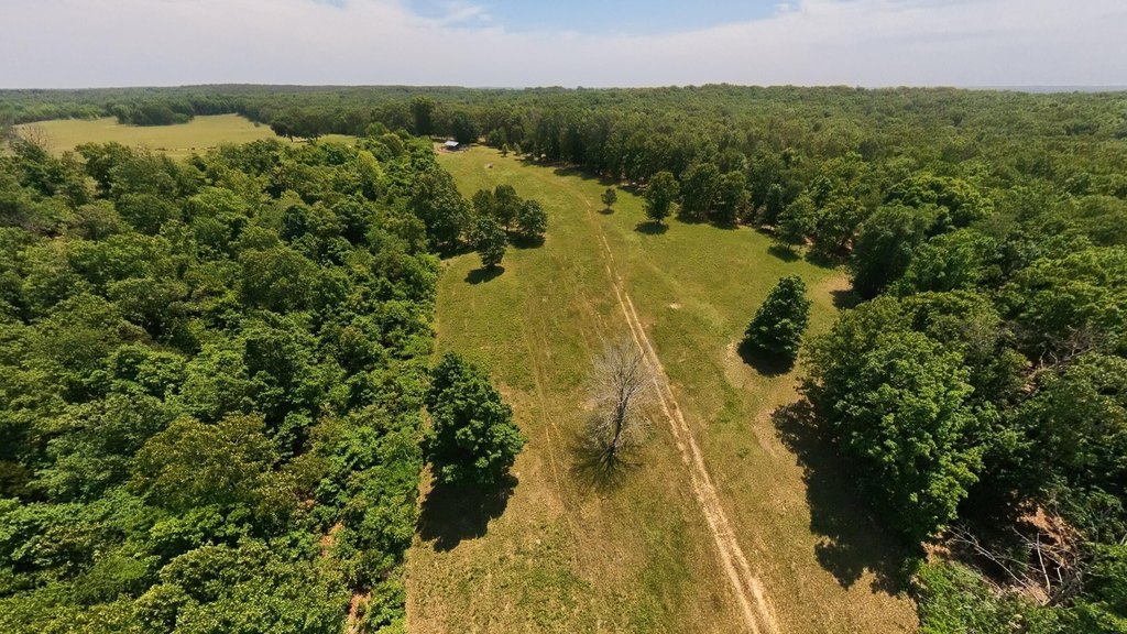
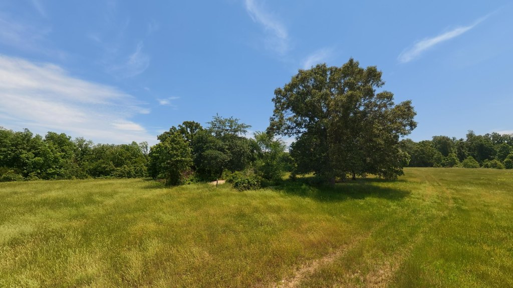
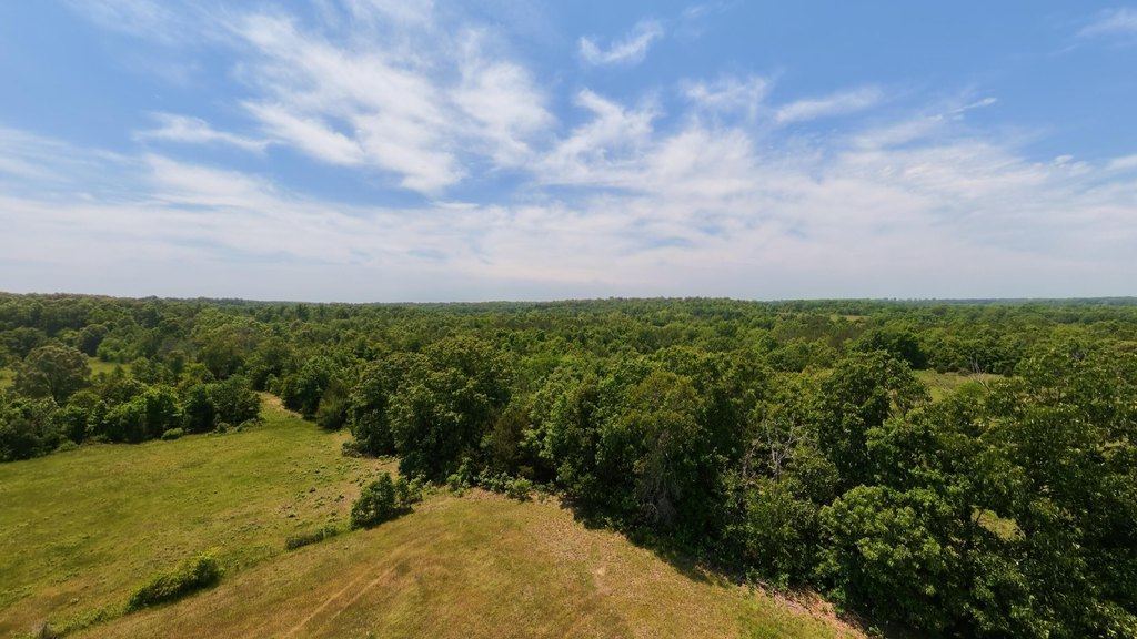
County road access connects the property to the surrounding area. Mark Twain National Forest sections are approximately 0.1 mile, 0.5 mile, and 2.5 miles away, with the Eleven Point River’s Turner Mill Access approximately 6.5 miles away and Cane Bluff Access roughly 10 miles away. Mature trees provide shade across portions of the acreage, and several areas offer elevated views and potential building sites.
County road access connects the property to the surrounding area. Mark Twain National Forest sections are approximately 0.1 mile, 0.5 mile, and 2.5 miles away, with the Eleven Point River’s Turner Mill Access approximately 6.5 miles away and Cane Bluff Access roughly 10 miles away. Mature trees provide shade across portions of the acreage, and several areas offer elevated views and potential building sites.
Key Highlights
- 77.77 acres of pasture, wooded ground, and scenic Ozarks views
- Six cross‑fenced pastures with fescue, native grasses, and a 9‑acre Caucasian bluestem field
- Three ponds, two MiraFount automatic waterers, and two hydrants
Property Analytics
Unlock full access to Insights
Subscribe to Realmo Intelligence
Open Analytics
Current Use
Lease Details
Yes
Paved road access
Yes
Utilities to site
Location Intelligence
Trade Area within ½ mile
1
Businesses Nearby
Explore this area
Business Placement
Demographics for 65606, MO
2,662
Population
1,261
Households
2.1
Avg Household Size
49
Median Age
11%
College-Educated
86%
High-School Grad
212.5 sq mi
ZIP Area
13
Density / Sq Mi
$51,786
Median Household Income
$35,253
Median Earnings
$845
Median Rent
$130,400
Median Home Value
Check the figures for this property
Cap Rate, Value Estimation, Potential NOI and more
View Realmo Analytics

Questions? Ask Rey
Realmo’s AI knows this listing — price, zoning, demand, history. Ask anything.



Frequently Asked Questions
What type of property is this?
Agricultural land / Farmland - Cross-fenced acreage combines pasture, wooded ground, ponds, and livestock improvements with county road access.
Where is this agricultural land / farmland located?
The property is located at County Road 113 Alton, MO.
What is the asking price?
The asking price for this property is $375,000.
What are key features of this property?
This property features: 77.77 acres of pasture, wooded ground, and scenic Ozarks views; Six cross‑fenced pastures with fescue, native grasses, and a 9‑acre Caucasian bluestem field; Three ponds, two MiraFount automatic waterers, and two hydrants