T25S Burns Burns, OR 97720
- Land
- 362.00 lot acres
Current Use by Public Records
- Land
Property Details for T25S Burns
- Lot size
- 362.00 lot acres
- Property type
- Land
Description
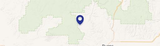
This expansive 362-acre commercial land parcel in Harney County, Oregon, presents a unique investment opportunity. Located near Burns, Oregon, this property boasts approximately half a mile of highway frontage along Highway 205, situated about 15 miles south of Burns. The land is situated in Sunset Valley, known for its slightly milder climate compared to Burns. This location offers potential for various commercial ventures, while also being conveniently located just 1.5 miles from a school bus stop. Electricity is readily available along the highway. The property consists of Tax Lots 2200, 2300, and 2900, with a portion of Tax Lot 2900 requiring a property line adjustment. The asking price for this substantial acreage is $275,000. The APN is 36102-00395. This property is zoned for commercial use and offers significant development potential. Buyers are responsible for conducting their own due diligence regarding zoning and permitted uses.
Value Estimations
-
AI approach
-
CAP approach
-
Comparable approach
-
Alternative Use
Location Insight
- Map
- Local Demand
- City
- Burns
- County
- Harney
- State
- Oregon
- Longitude
- -119.054
- Latitude
- 43.5863