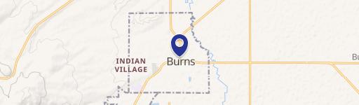
T24S Tl 4800 Harney, OR 97720

Property profile & analytics
Location Intelligence
Current Use by Public Records
- Land
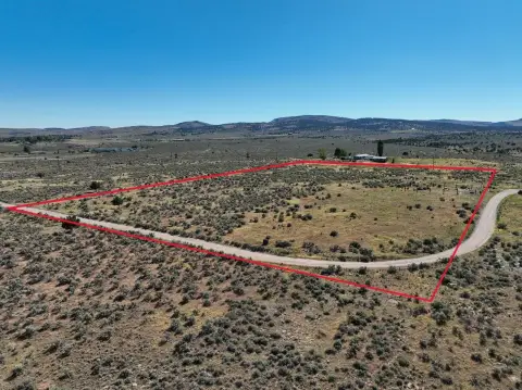
Property Details for T24S Tl 4800
- Lot size
- 160.00 lot acres
- Property type
- Land
Description
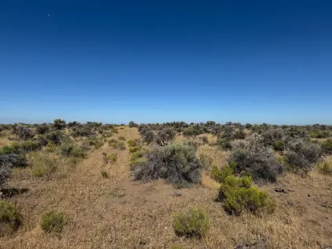
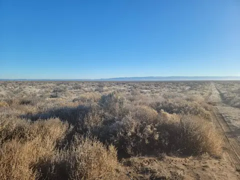
This exceptional 160-acre commercial land parcel is situated in Harney County, Oregon, approximately 15 minutes southeast of Burns. Accessible via Highway 78 and county roads, this property boasts perimeter fencing and recently planted triticale hay. The land is currently being subdivided into three roughly 160-acre parcels, each priced at $125,000. Power lines are conveniently located nearby, as shown on available tax lot maps (T24S R32E W.M. SEC 15 & 16 TL 4800). Estimated annual property taxes are $175.70. The property offers a unique opportunity to establish a secluded ranchette or other commercial venture in the peaceful high desert environment. Buyers can leverage the existing infrastructure and create their own ideal development, taking advantage of the readily available power and the expansive acreage. A video showcasing the property is available online. This is a rare chance to own a significant piece of Eastern Oregon land with potential for diverse uses. The property's location offers a balance of seclusion and proximity to the amenities of Burns.
Value Estimations
based on Realmo’s proprietary methodology
-
AI approach
-
CAP approach
-
Comparable approach
-
Alternative Use
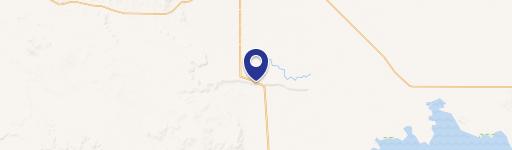
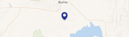
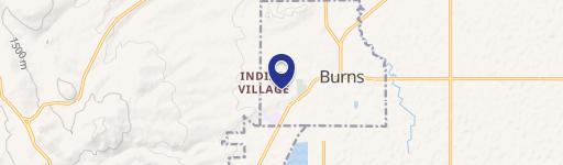
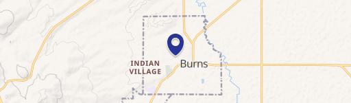
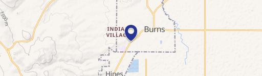
Location Insight
- Map
- Local Demand
- City
- Harney
- County
- Harney
- State
- Oregon
- Longitude
- -118.852
- Latitude
- 43.577