Development & Hunting Land with Dual
Hwy 69 / CR 484 Mineola, TX 75773
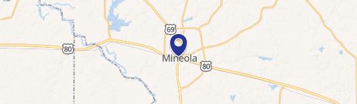
Hwy 69 / CR 484, Mineola, TX, 75773
$847,440
For Sale
$847,440
LAND - Other - Mineola, TX
Lot Size94.16 Acres
Days on Market36
Property Features for Hwy 69 / CR 484
General Information
- Property type
- Land
- Property subtype
- Other
- Vegetation
- Wooded
- Standard status
- Active
- APN
- 100000017300003000
- Lot size
- 94.16 Acres
Taxes and HOA fees
- Tax Description
- 125+/- acres: ABST A0173 V BURCH TRACT 3
- Tax Annual Amount
- 202
Utilities
- Water source
- Well
- Water front features
- Creek
- Water front
- 1
Building Details
- Architectural style
- Other
Listing Agency
RE/MAX Landmark Rose
(903) 567-3100
Canton, TX
Listed by
Delanee Clark · License #0710720
(972) 524-2525
Added: Jun 13 Checked: Jul 18 at 8:06 pm
MLS# 21267561
Listing URL
Copyright © 2026 North Texas Real Estate Information Systems, Inc. All rights reserved. All information provided by the listing agent/broker is deemed reliable but is not guaranteed and should be independently verified.
Investment Insights
Based on property information with market context.
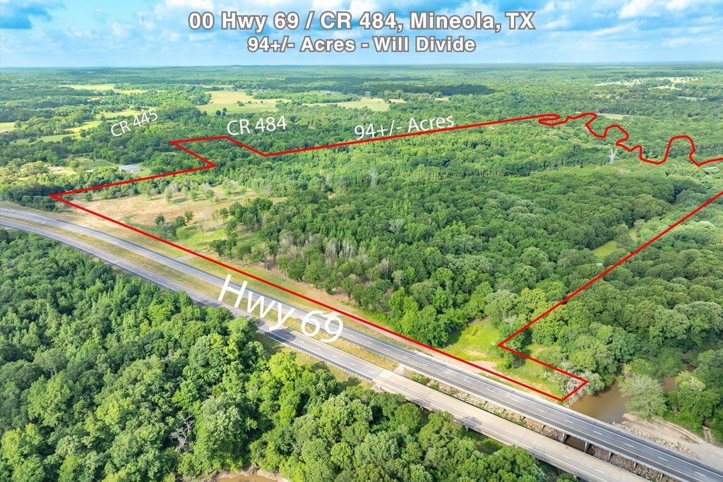
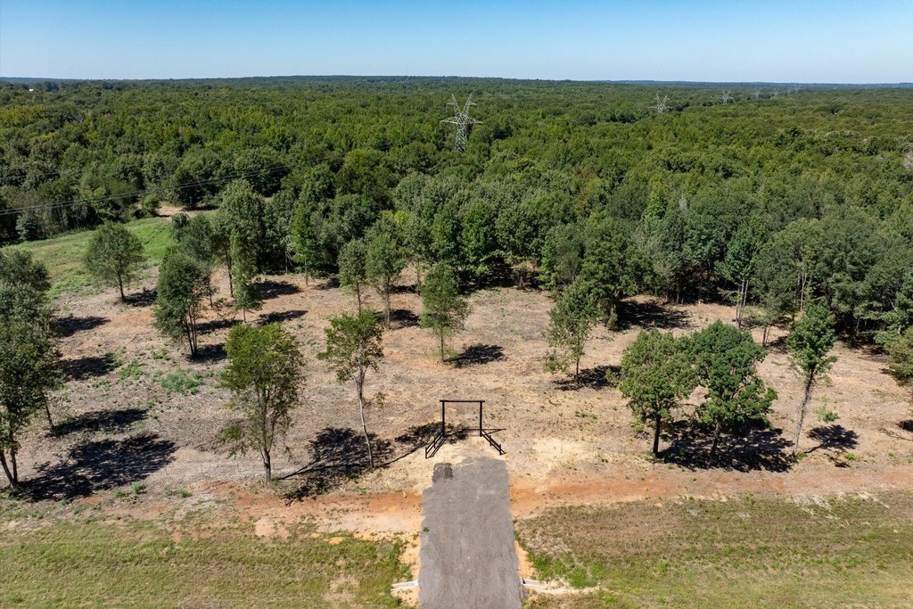
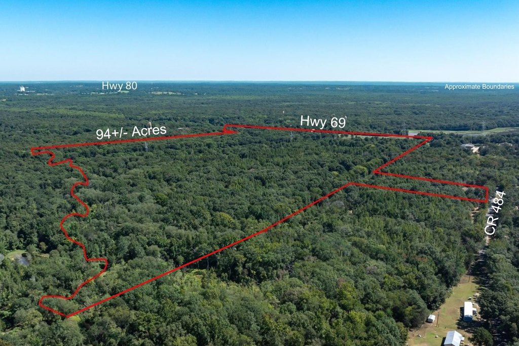
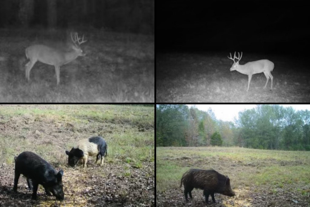
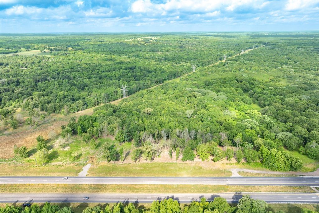
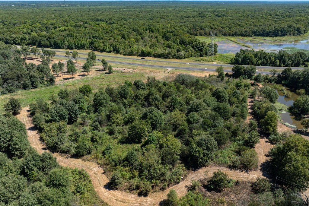
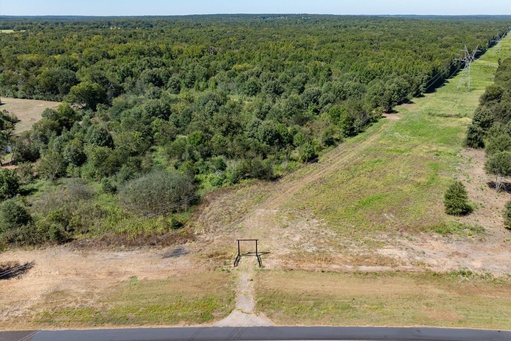
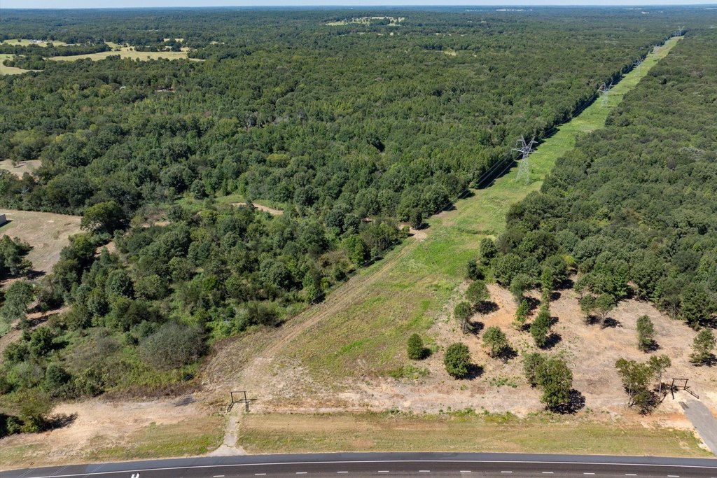
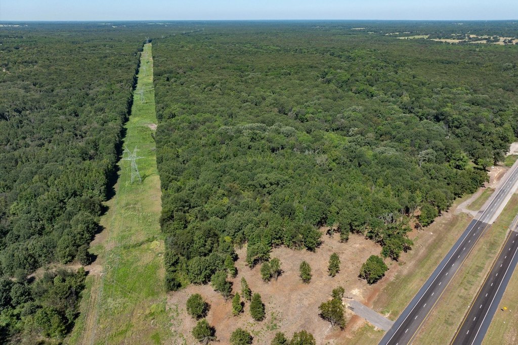
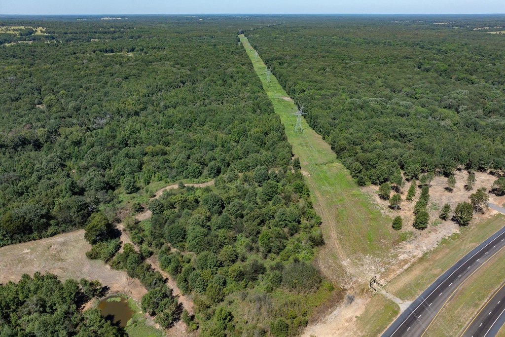
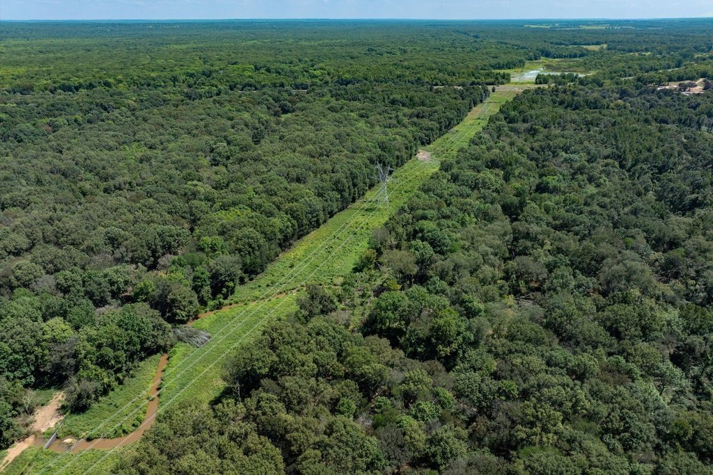
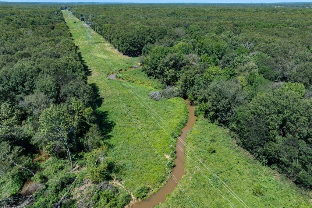
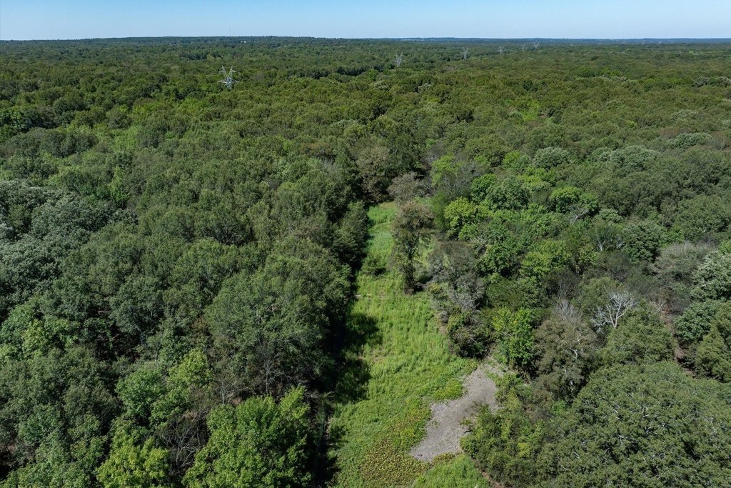
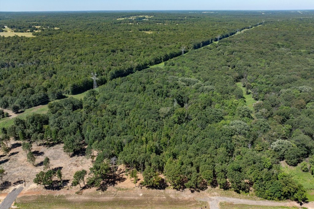
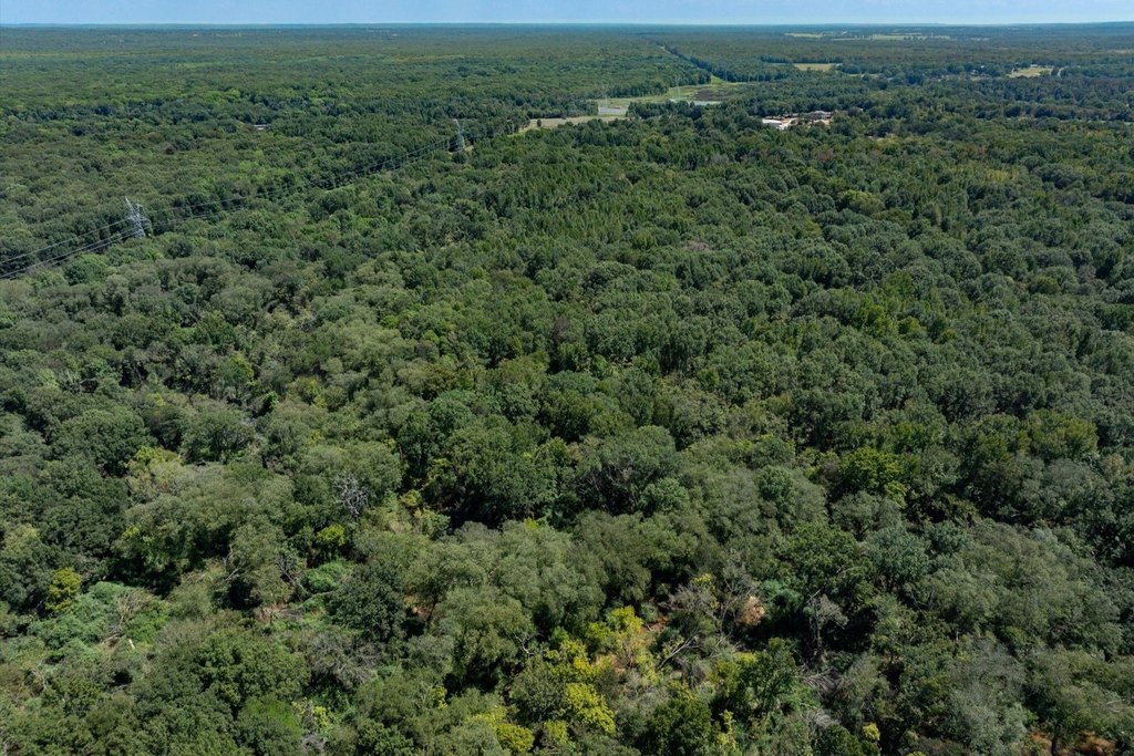
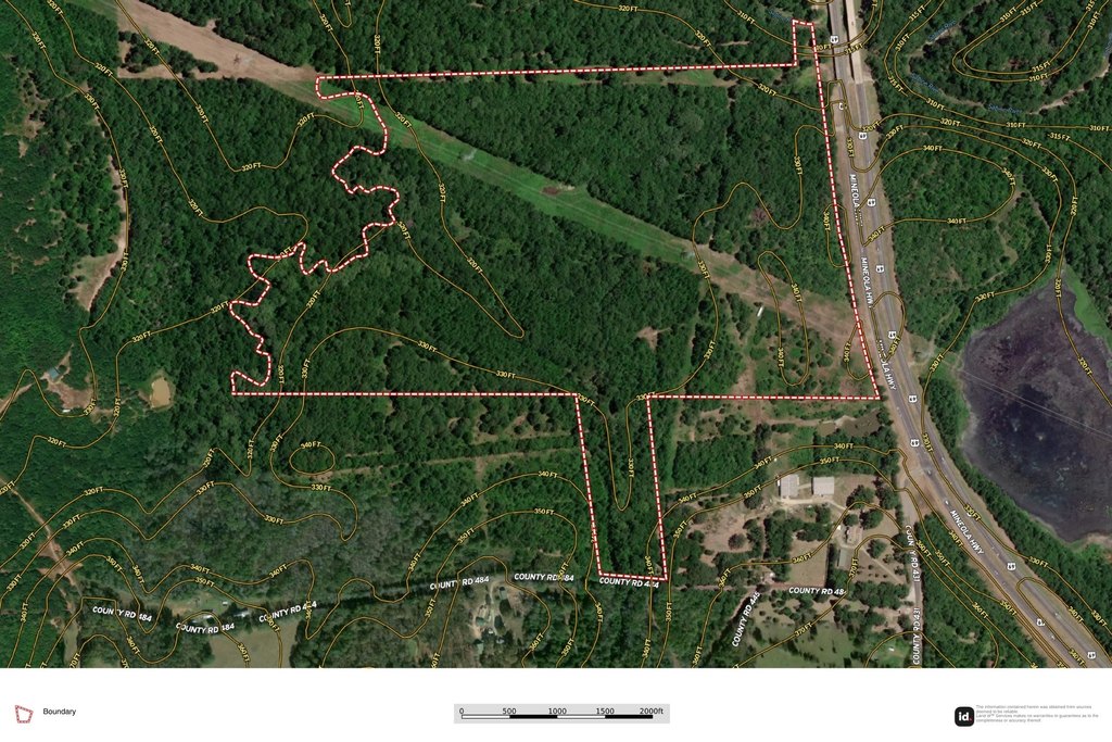
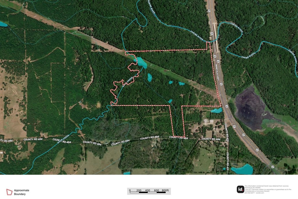
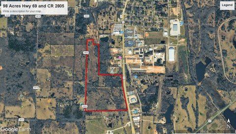
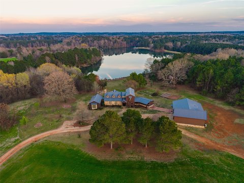
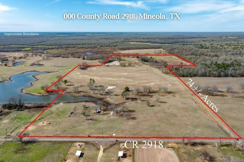
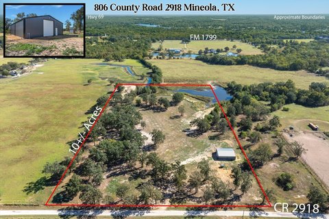
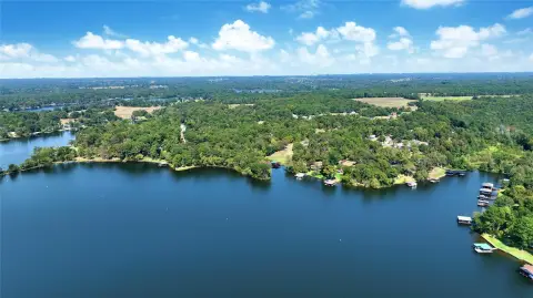
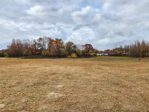
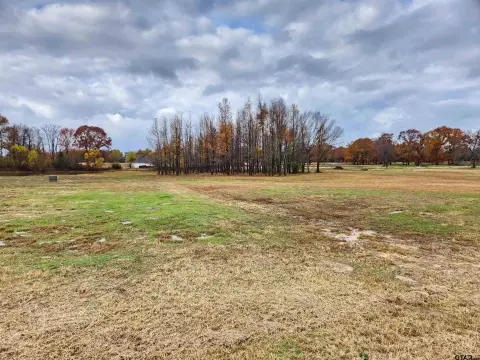
This offering presents a large East Texas land tract with gently rolling terrain, mature hardwood trees, and creek frontage. The property includes three water wells and on-site electricity, along with multiple pipe entrances for practical site access. Wildlife and mature cover are established throughout, making the acreage a strong fit for hunting, recreation, or a variety of rural uses. Flexible configurations are available, with options noted from approximately 43+/- acres up to the full 94+/- acres.
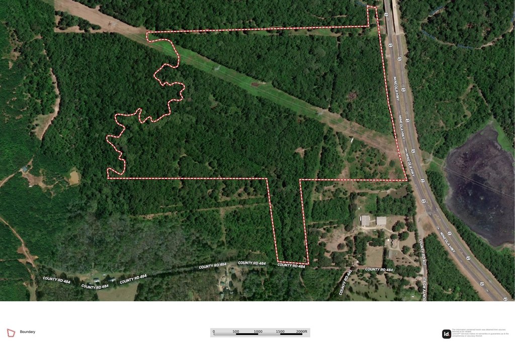
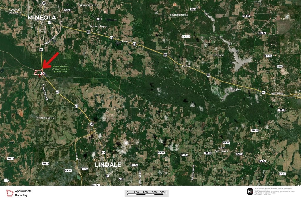
The tract is served by dual road frontage on Hwy 69 and CR 484, providing visibility and multiple points of entry. It is located within Lindale ISD and sits between Mineola and Lindale, offering a balance of access and privacy. The listing notes proximity to Lindale, Mineola, Tyler, and the Dallas area.
From a tenant or buyer standpoint, the combination of utilities, multiple entrances, and creek frontage supports a range of potential plans, including residential development, agricultural expansion, or recreational use. Operators evaluating a future commercial or mixed-use concept may also benefit from the frontage and access characteristics already in place, while keeping the option to pursue personal, investment, or development goals within the acreage range described.
Key Highlights
- 94+/- acre property in Lindale ISD with dual road frontage on Hwy 69 and CR 484
- Creek frontage with mature hardwood trees and gently rolling terrain
- Multiple pipe entrances plus on‑site electricity
Property Analytics
Property Profile
Location Intelligence
Current Use by Public Records
Hunting land
Similar For Sale Nearby

FAQs
What type of property is this?
Hunting land - Dual road frontage in Lindale ISD with creek frontage, water wells, and utilities—well suited for development or personal use.
Where is this hunting land located?
The property is located at Hwy 69 / CR 484 Mineola, TX.
What is the asking price?
The asking price for this property is $847,440.
What are key features of this property?
This property features: 94+/- acre property in Lindale ISD with dual road frontage on Hwy 69 and CR 484; Creek frontage with mature hardwood trees and gently rolling terrain; Multiple pipe entrances plus on‑site electricity