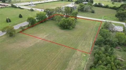
6490 NW 52nd Avenue, Tulsa, OK 74126
- Added:
- Jun 7, 2026
- Days on Market:
- 7
- Last Refresh:
- Jun 13 at 6:06 am
Property Features for 6490 NW 52nd Avenue
General Information
- Property type
- Land
- Property subtype
- Other
- Zoning
- Rural Ag
- Standard status
- Active
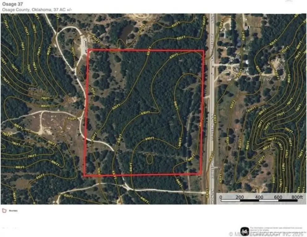
- Lot size
- 37.78 Acres
Taxes and HOA fees
- Tax Year
- 2023
- Tax Description
- 6-20-12 NE NE, LESS 2.93AC HWY
- Tax Annual Amount
- 19

Listing agent Richard Senn License #176566 (539) 777-5007
Listing office Fathom Realty OK LLC 7136 S Yale Avenue Suite 339, Tulsa, OK (539) 777-5007
Listing date Jun 7, 2026
Copyright © 2026 MLS Technology, Inc. All rights reserved. All information provided by the listing agent/broker is deemed reliable but is not guaranteed and should be independently verified.
HighLights
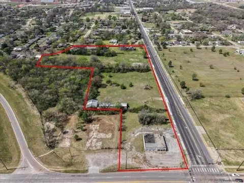
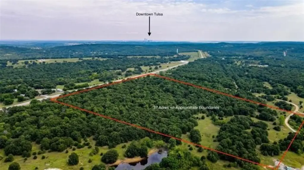
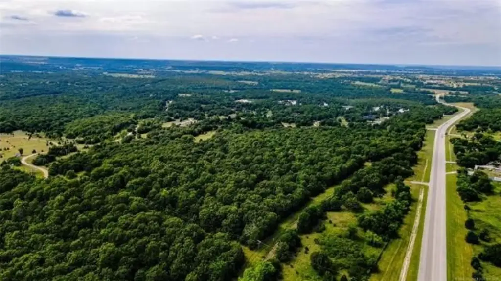
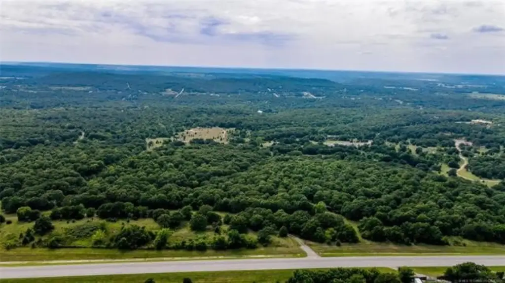
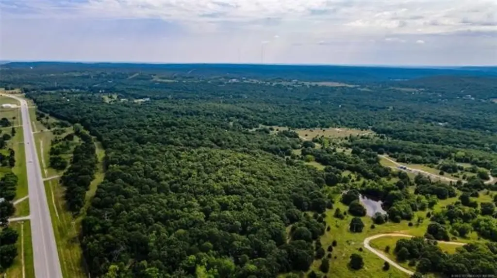
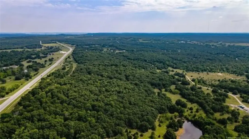
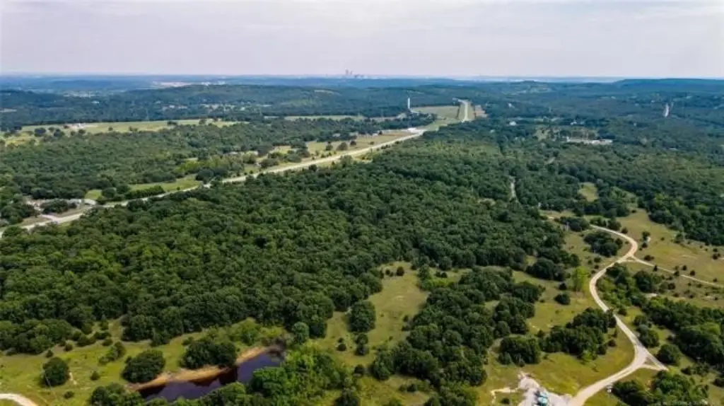
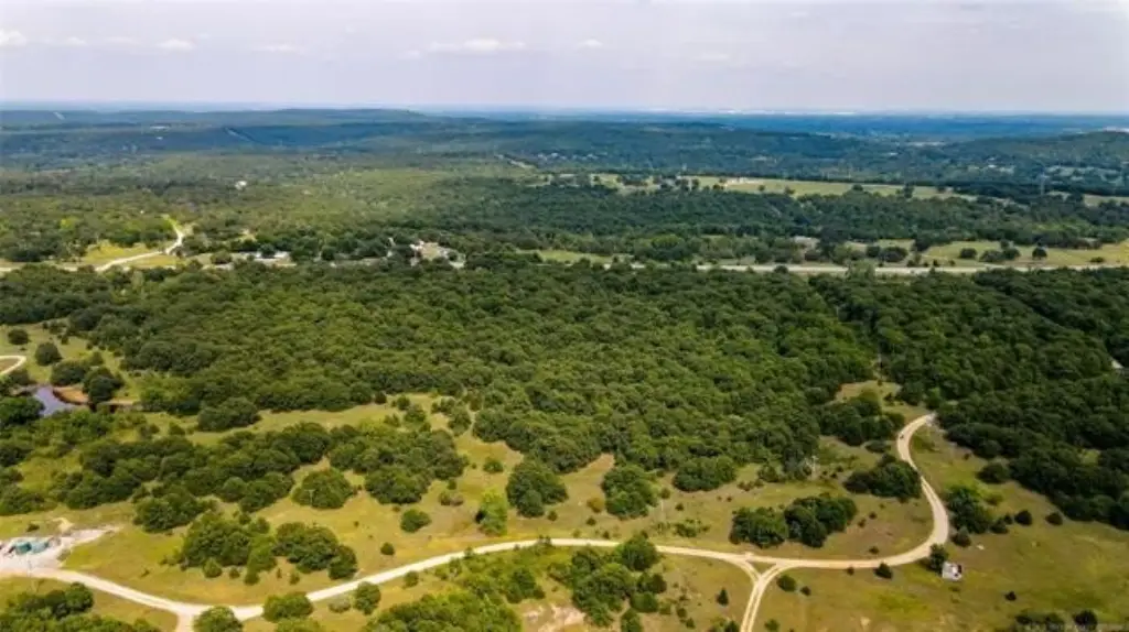
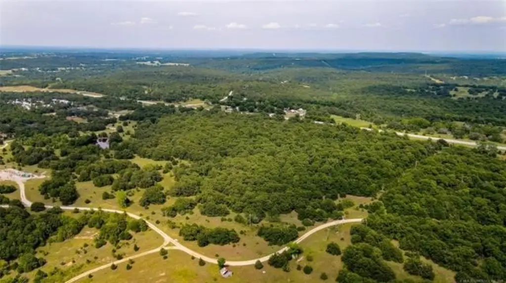
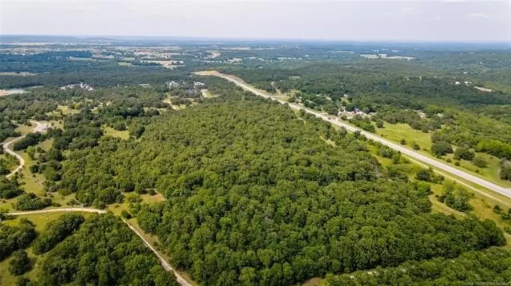
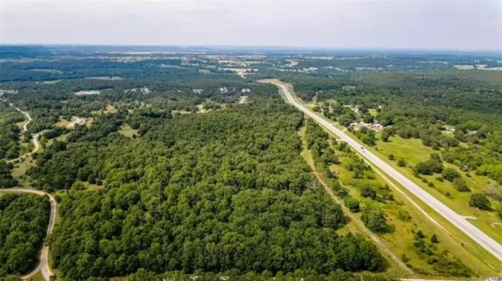
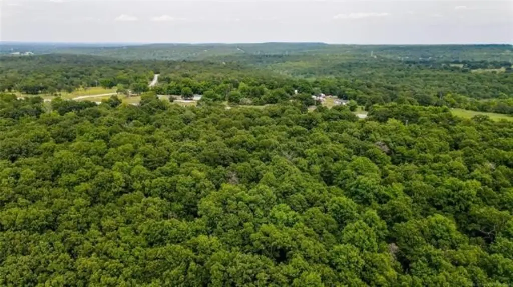
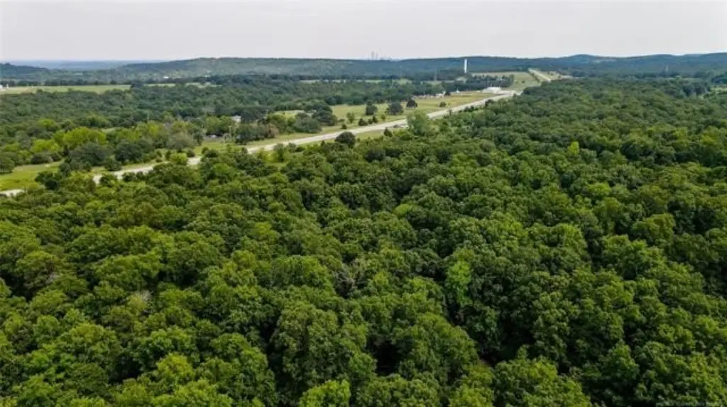
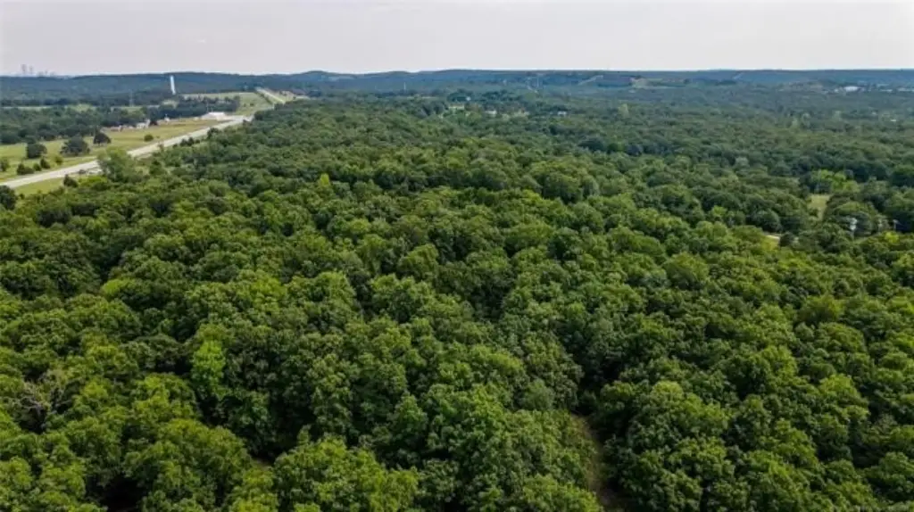
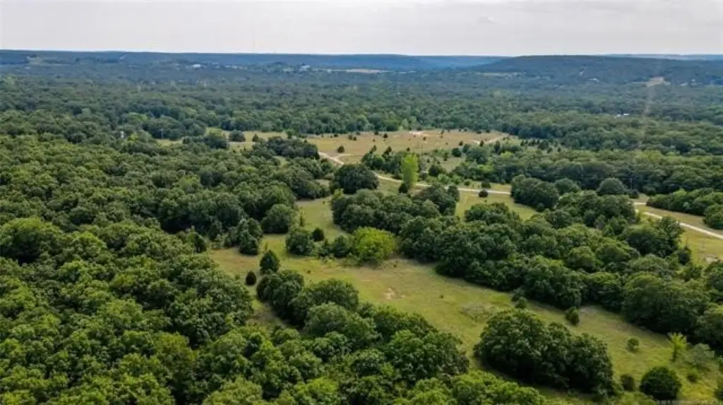
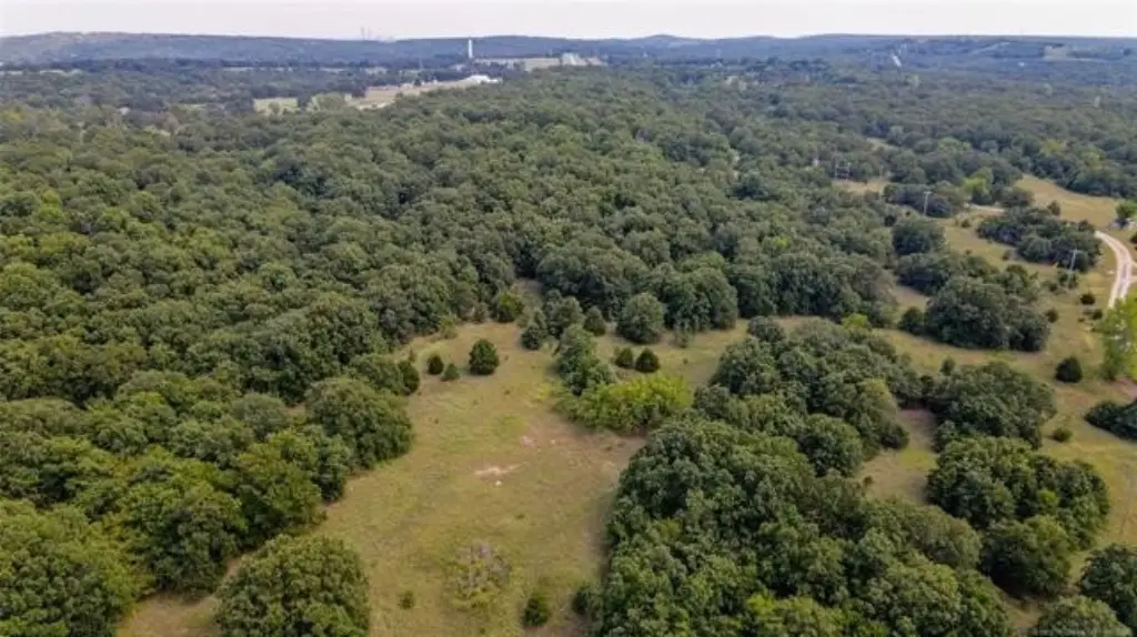
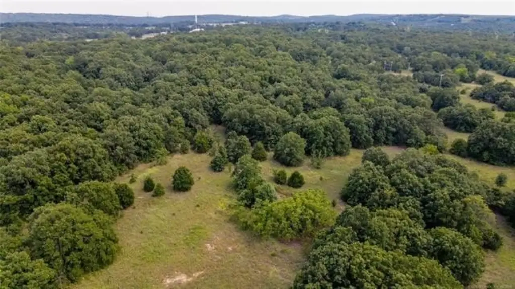
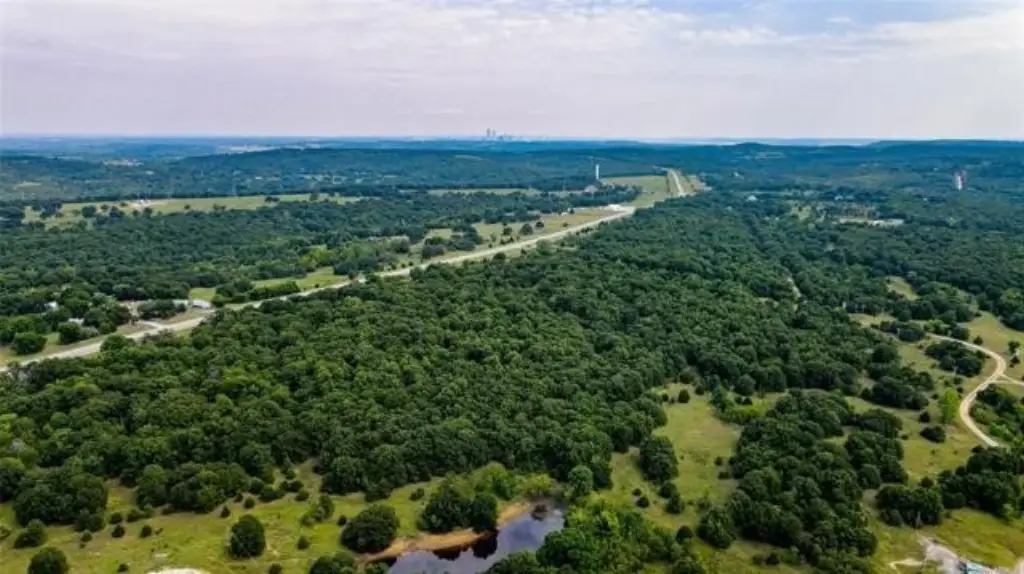
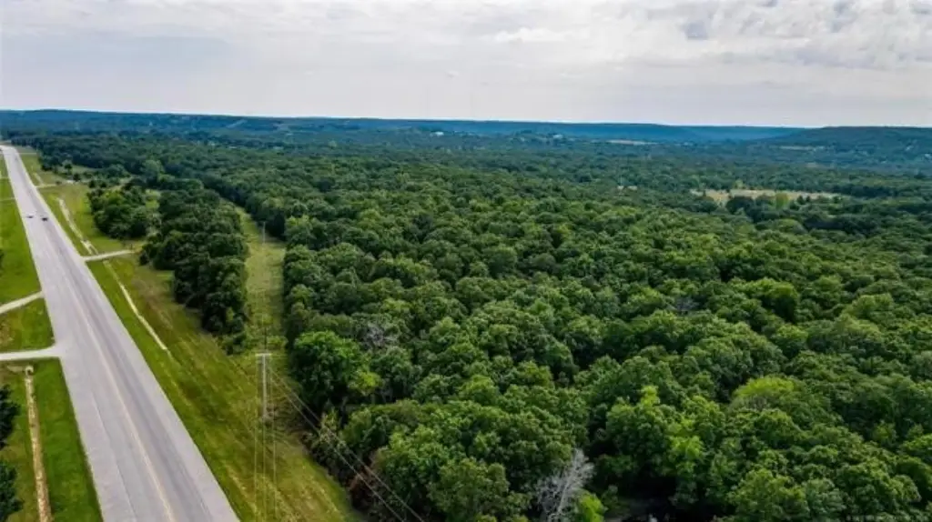
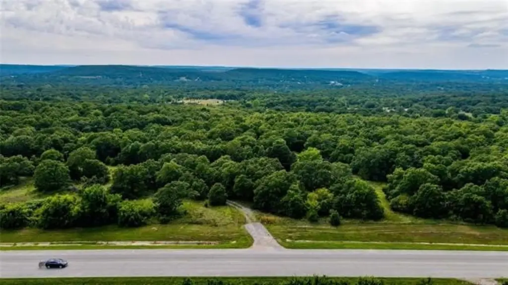
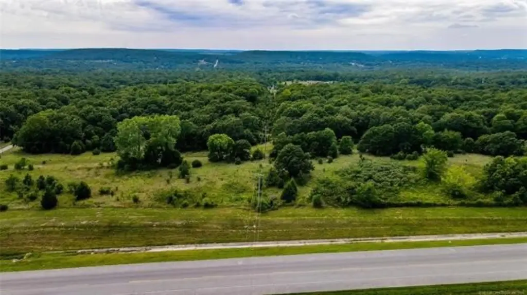
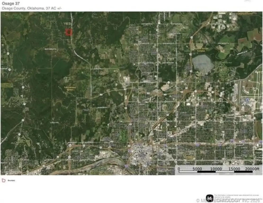
- 37+/- acres in Osage County just minutes from downtown Tulsa
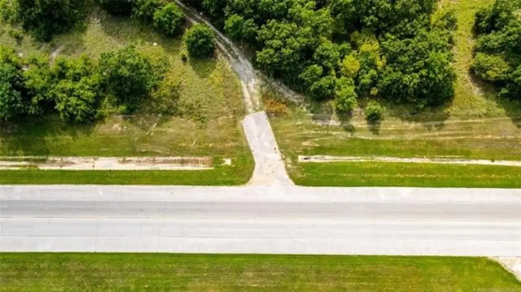
- Lays on the west side of paved NW 52nd Street
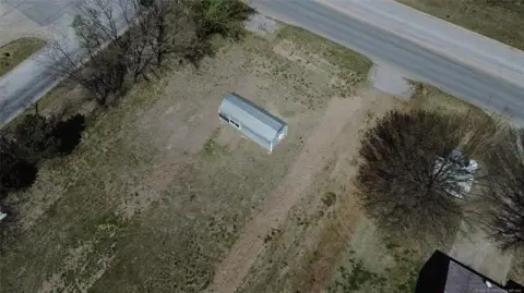
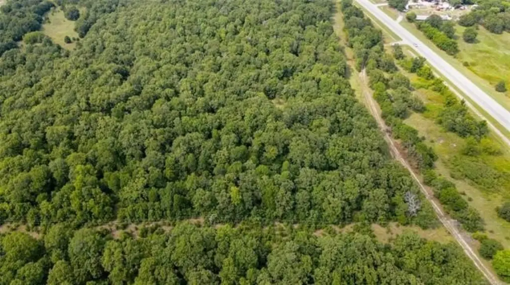
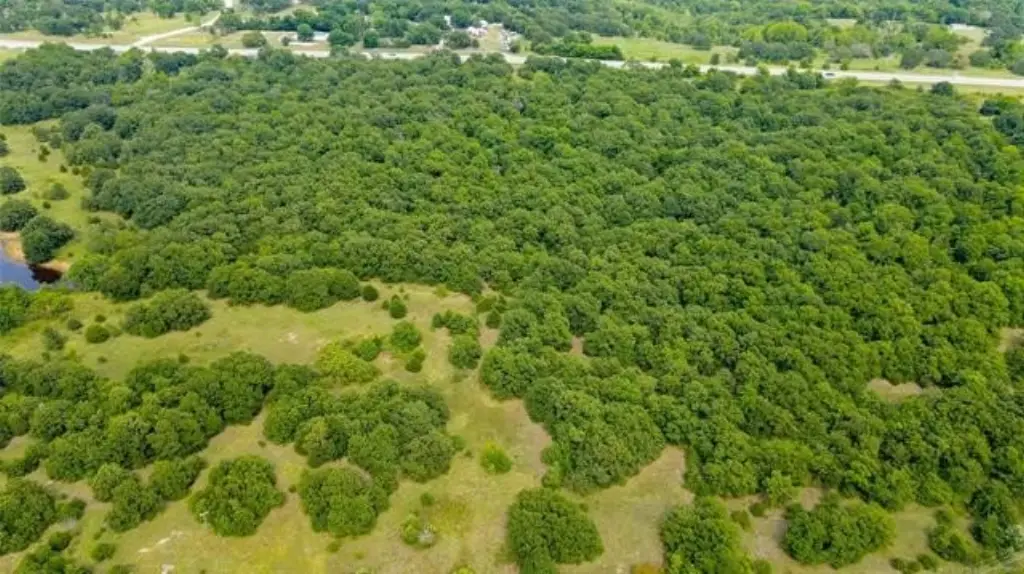
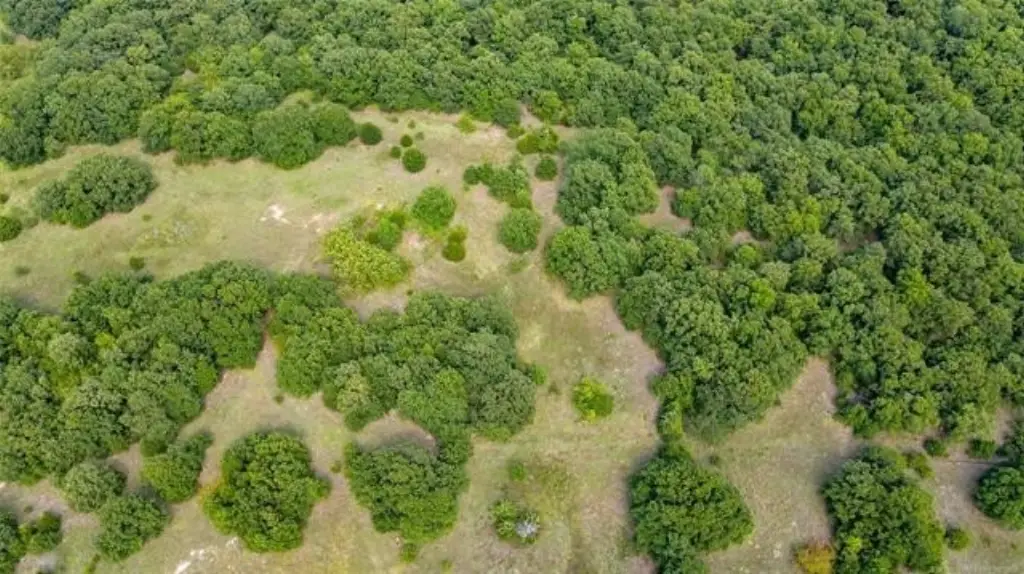
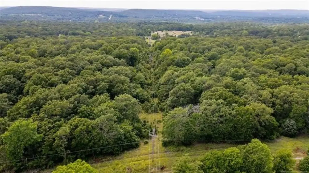
- Primarily wooded with some open pasture on the west side
- Near Gilcrease Expressway for access to Tulsa International Airport and downtown Tulsa
- Minutes from Tulsa Botanical Gardens, Skiatook Lake, Gilcrease Museum, and Osage Casino
Overview
The property is located in Osage County, just minutes from downtown Tulsa. It lies on the west side of all paved NW 52nd Street. The listing also notes proximity to the Gilcrease Expressway for access to Tulsa International Airport and downtown attractions, along with routes to Owasso, Bartlesville, and OKC. Additional nearby recreation and destinations called out include Tulsa Botanical Gardens, Skiatook Lake, the Gilcrease Museum, and the Osage Casino.
The land’s current wooded/pasture configuration supports a range of buyer intentions described with the property, including building a business, pursuing multi-family housing, working through a neighborhood development plan, or establishing a small hobby farm or personal ranch. Prospective buyers should evaluate site readiness and any desired clearing approach based on the amount of wooded coverage and open pasture available across the acreage.
Current Use by Public Records
Map
- City
- Tulsa
- County
- Creek
- State
- Oklahoma
- Longitude
- -96.0492
- Latitude
- 36.2544