433 Wightman Hill Road, Richford, VT 05476
- Added:
- Jun 19, 2026
- Days on Market:
- 6
- Last Refresh:
- Jun 24 at 3:06 am
Property Features for 433 Wightman Hill Road
General Information
- Property type
- Land
- Property subtype
- Other
- Zoning
- Ag, Forest/Conservation
- Standard status
- Active
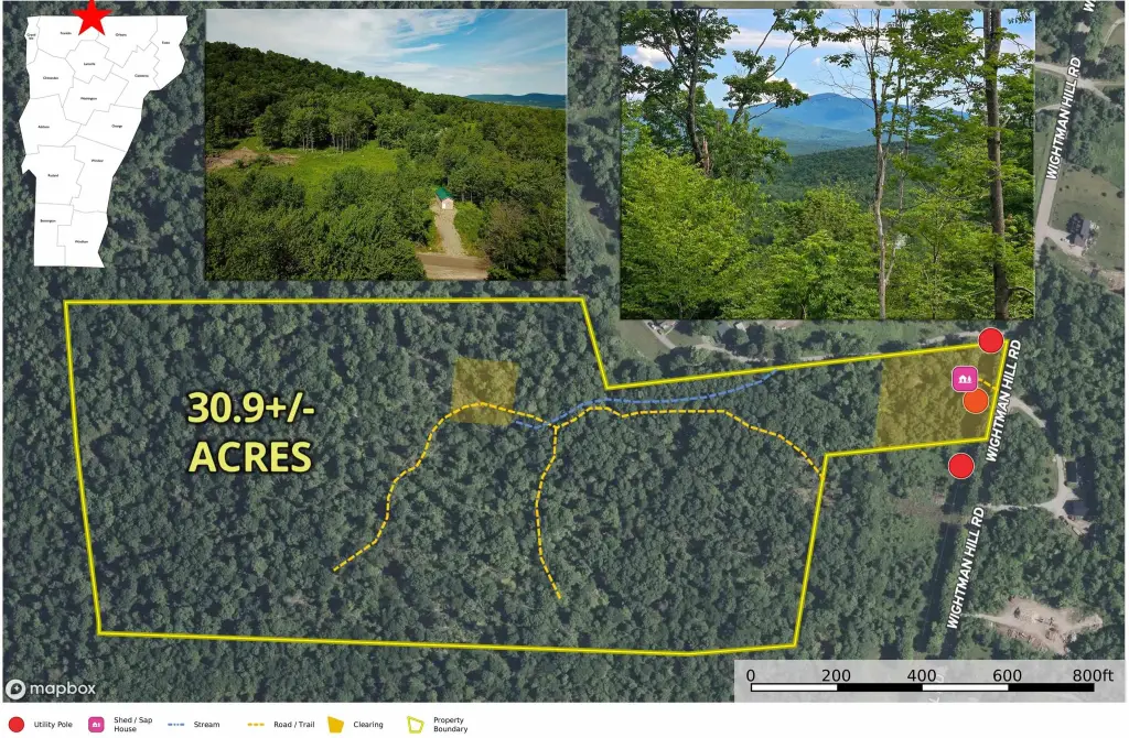
- Lot size
- 30.90 Acres
Taxes and HOA fees
- Tax Year
- 2025
- Tax Annual Amount
- 1620
Utilities
- Sewer type
- Septic Needed
- Water source
- Well Needed, Private

Listing agent Curtis Trousdale (802) 862-9106
Listing office Preferred Properties 149 Knight Lane, Williston, VT (802) 862-9106
Listing date Jun 19, 2026
Copyright © 2026 PrimeMLS. All rights reserved. All information provided by the listing agent/broker is deemed reliable but is not guaranteed and should be independently verified.
HighLights
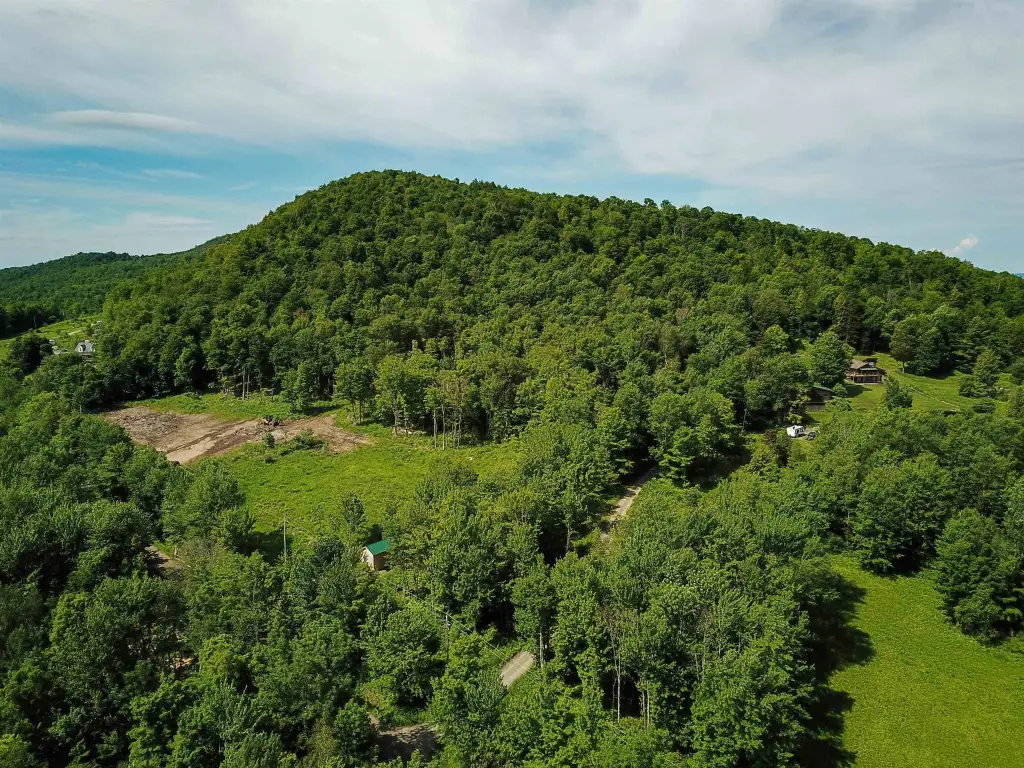
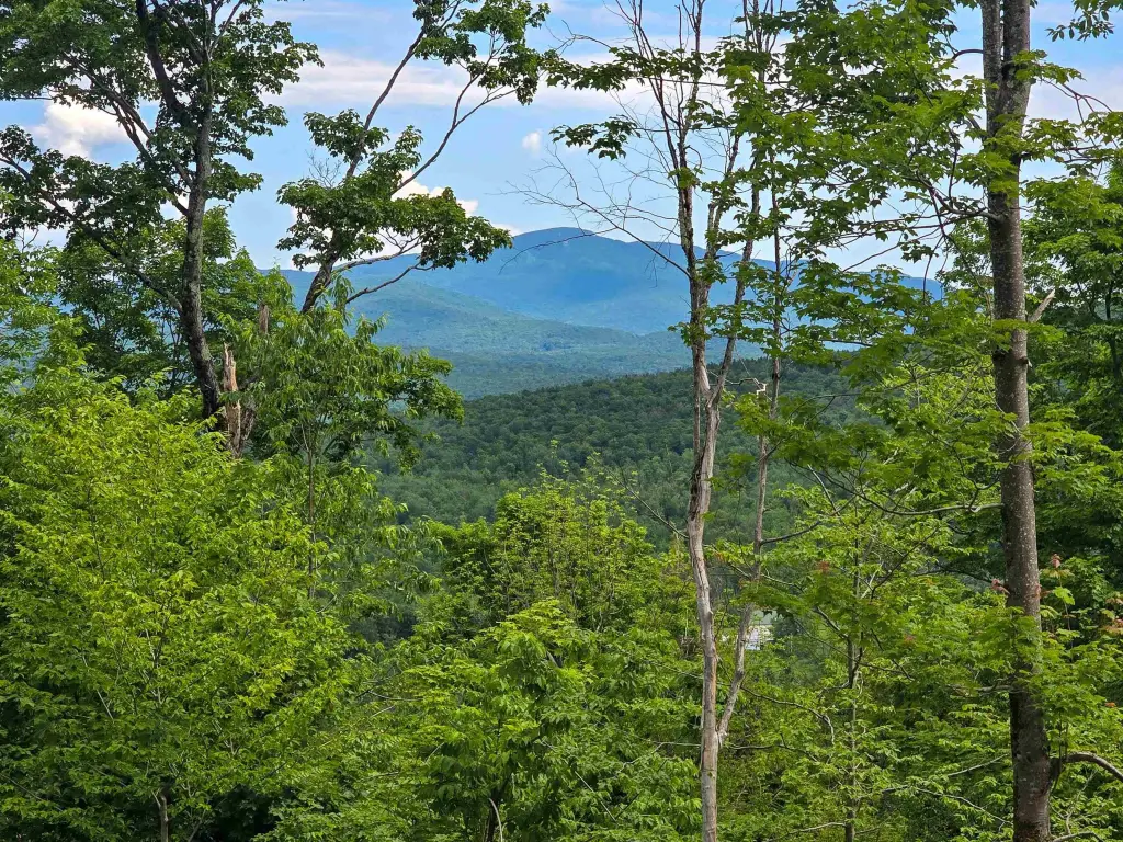
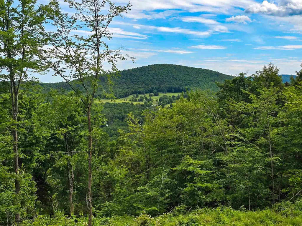
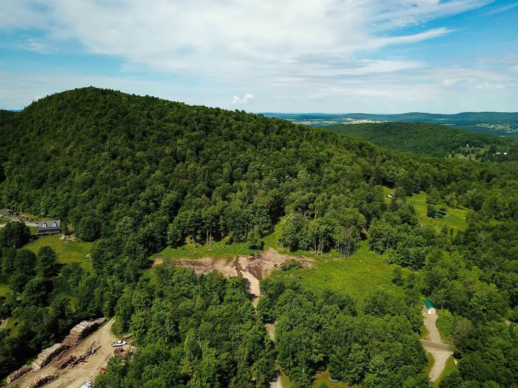
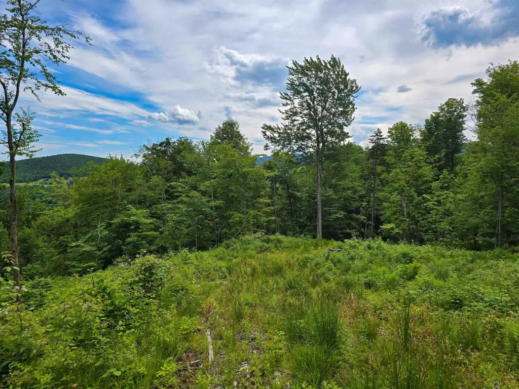
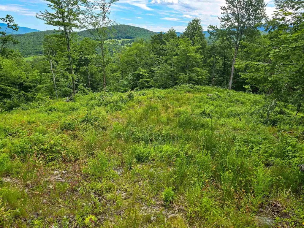
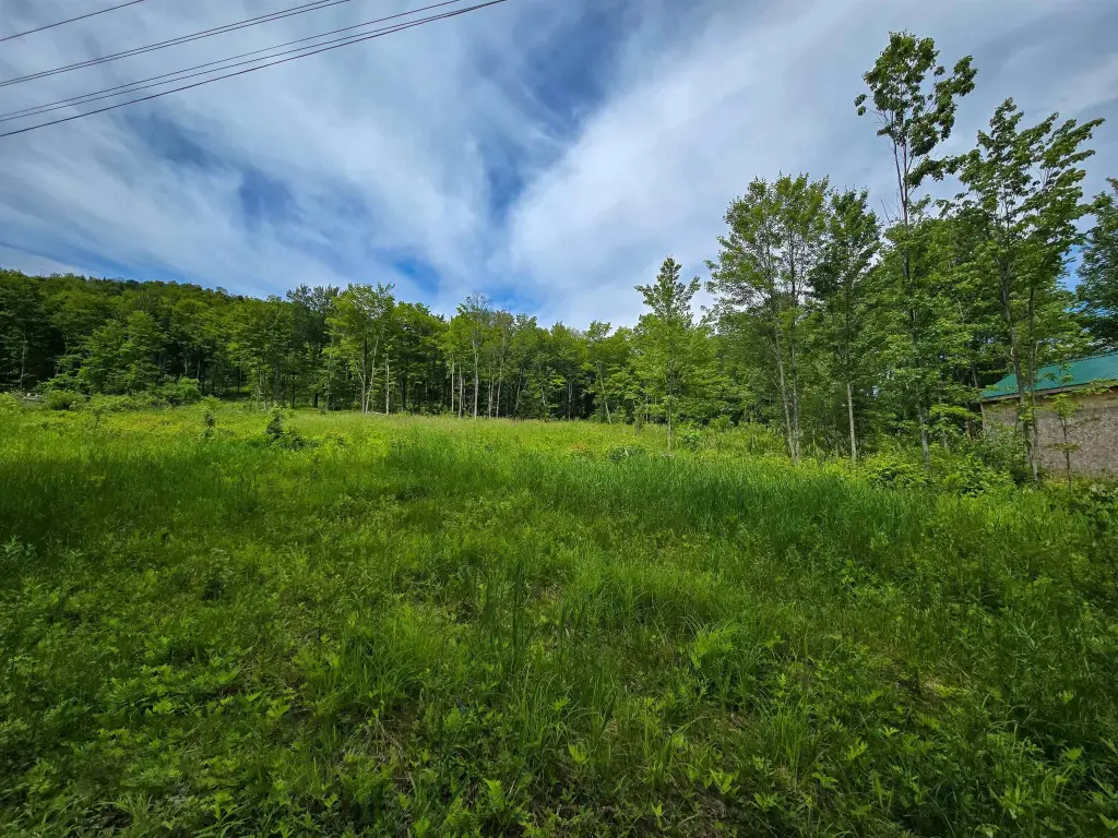
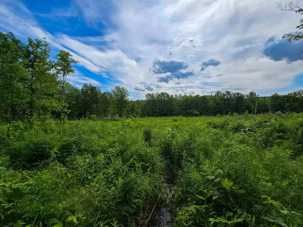
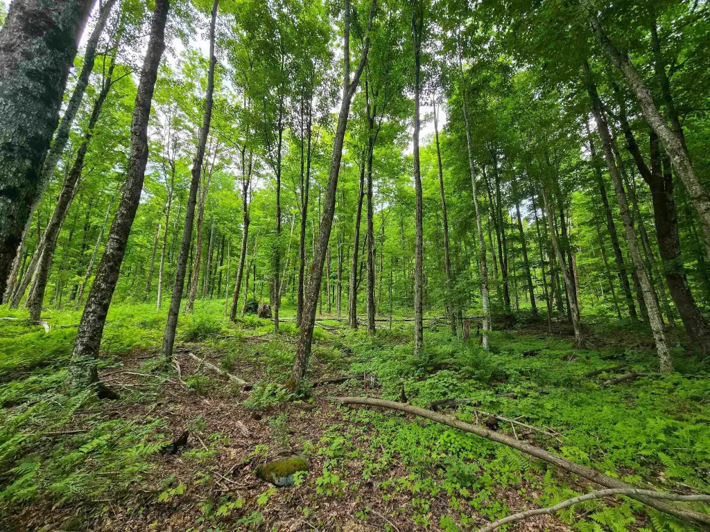
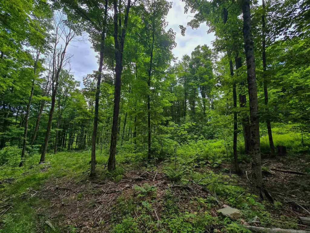
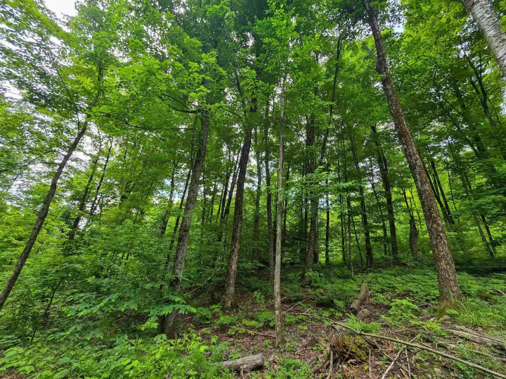
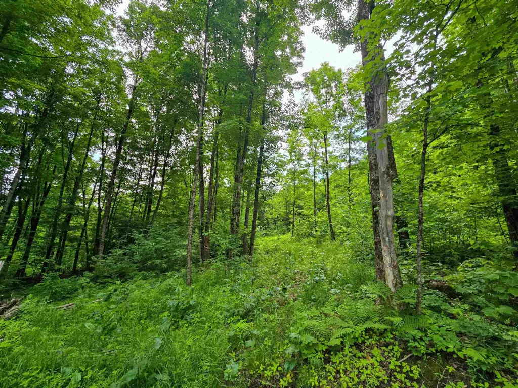
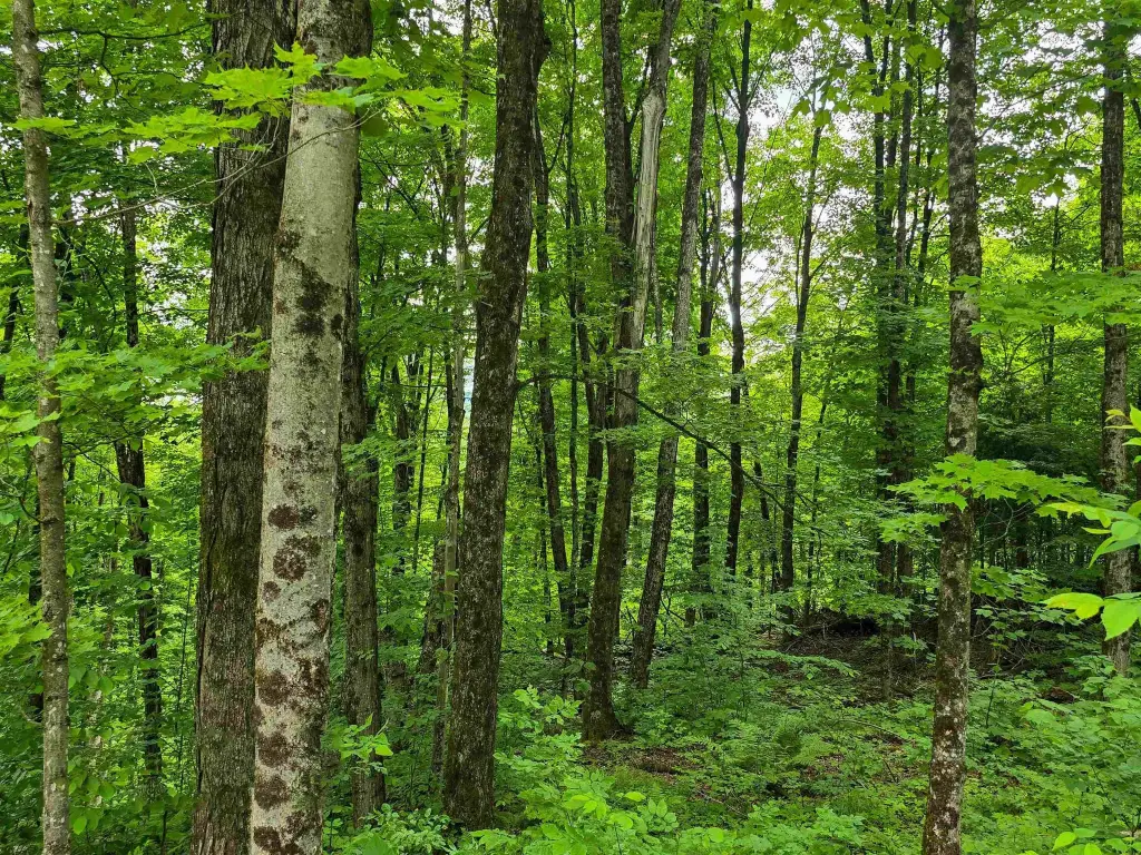
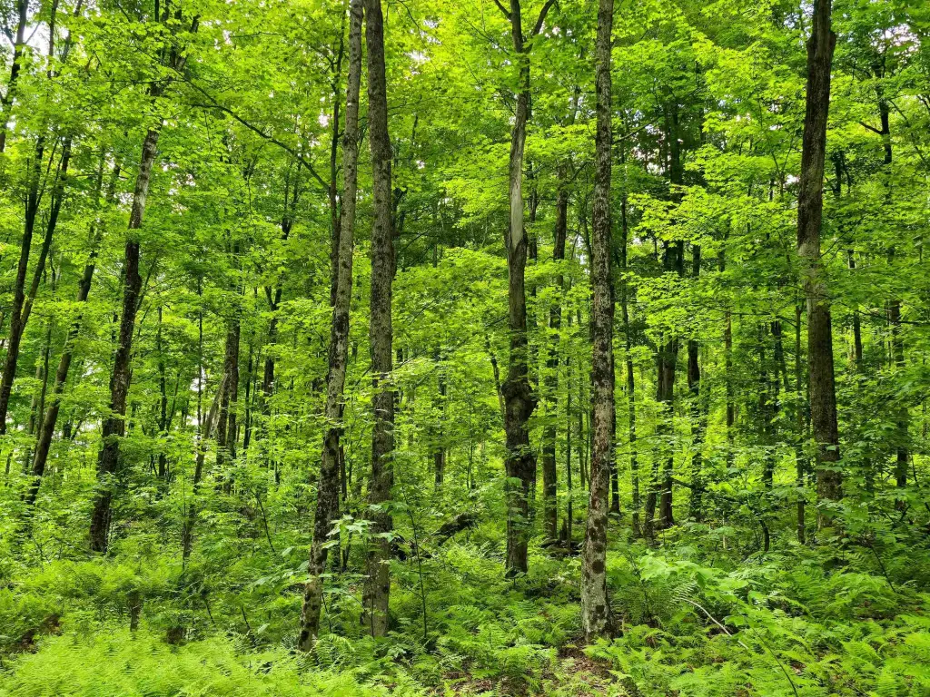
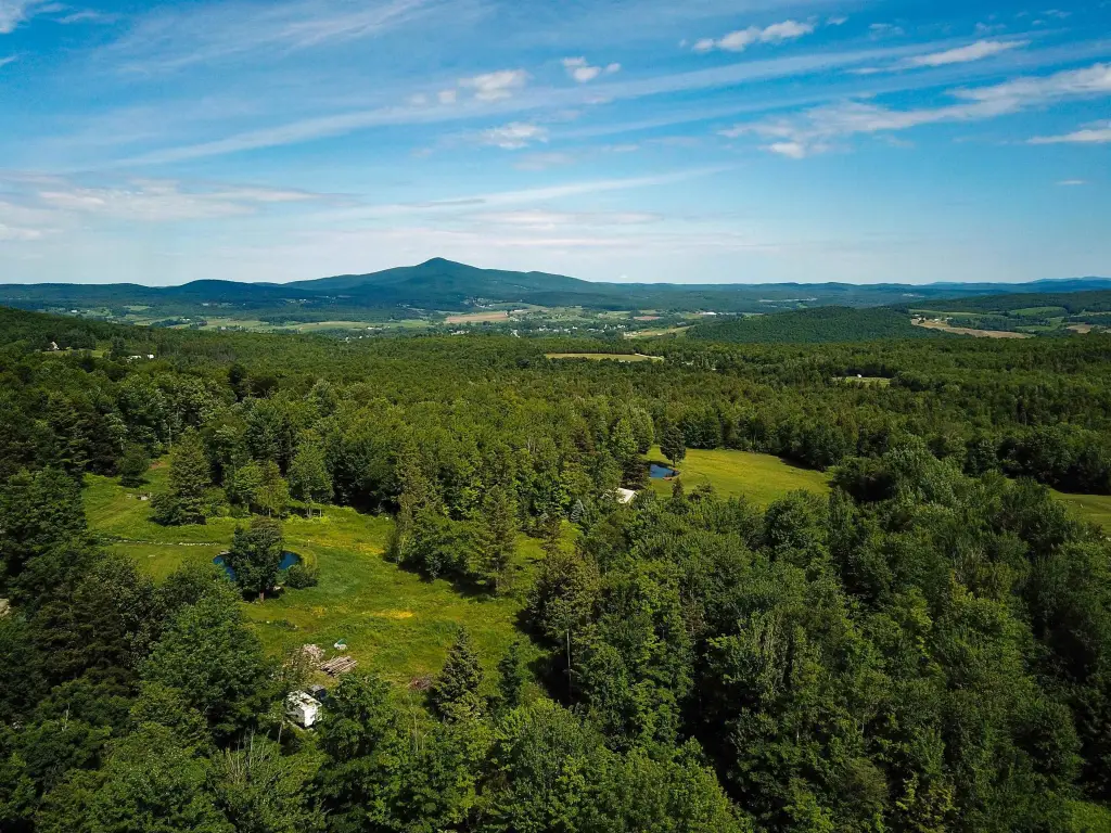
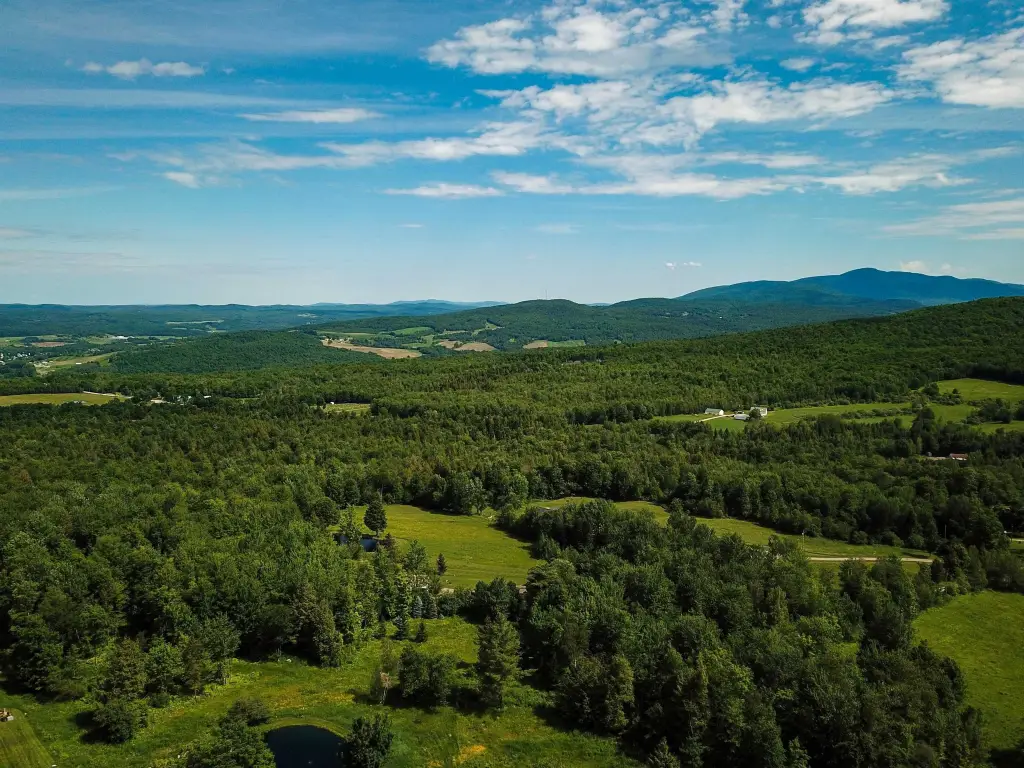
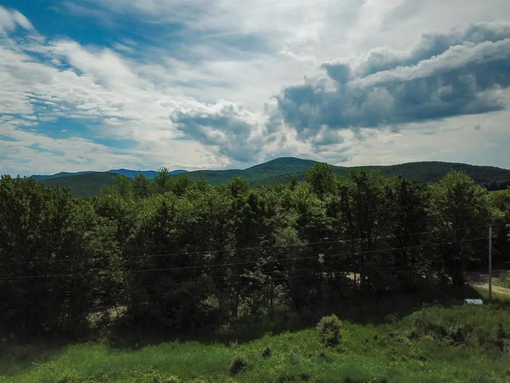
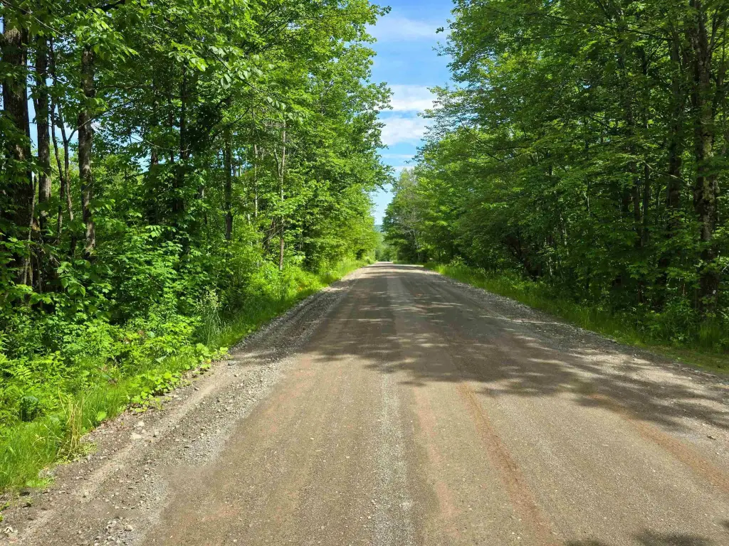
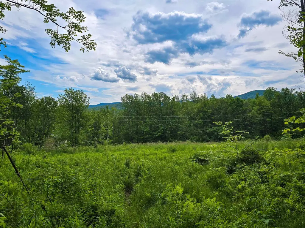
- 30.9+/- acre mature maple forest in Richford, VT, accessed via year‑round town‑maintained gravel road on Wightman Hill Road
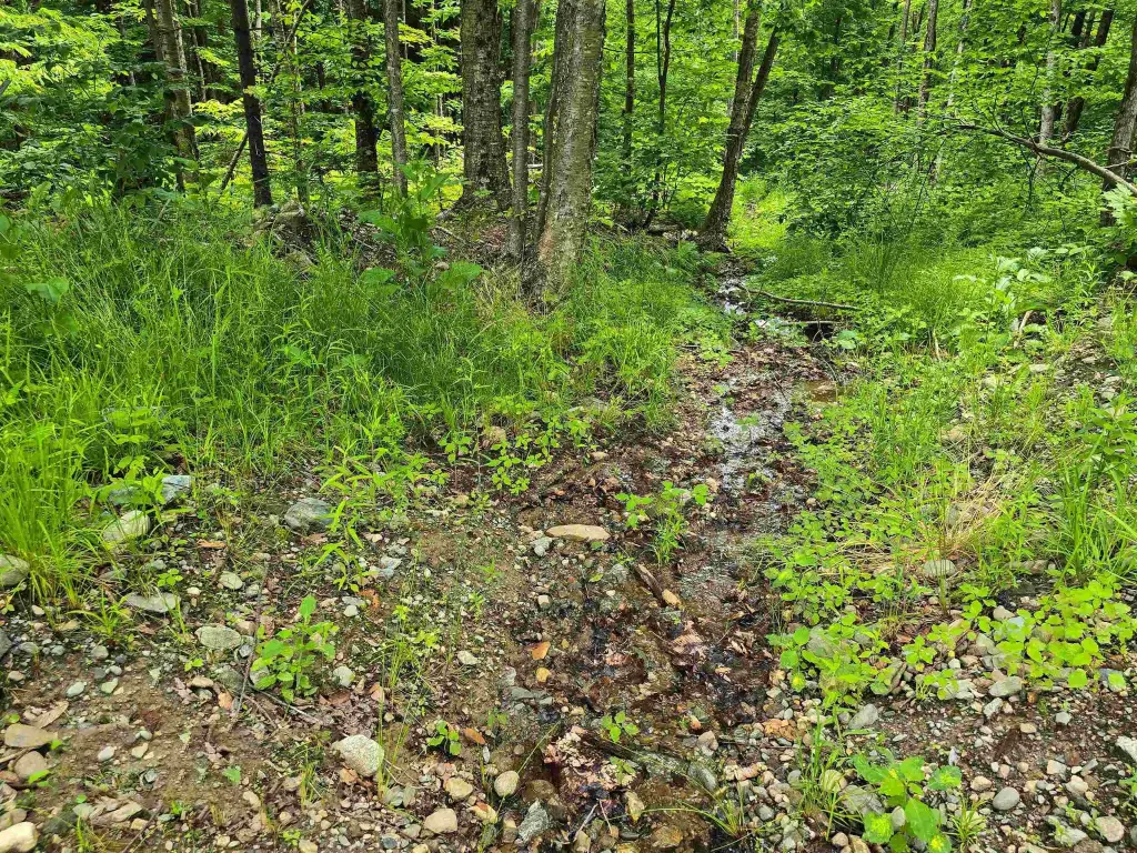
- Approximately 2,500 mature maple sugar taps on a northeast slope; potential for a single main line down to the sap house
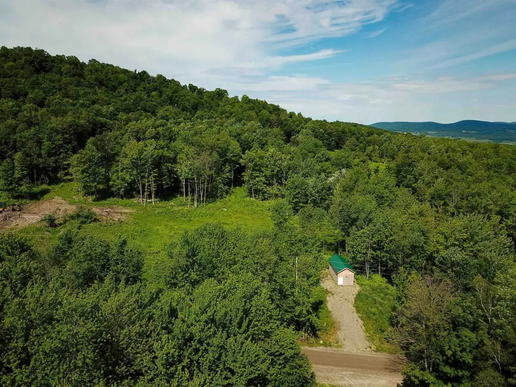
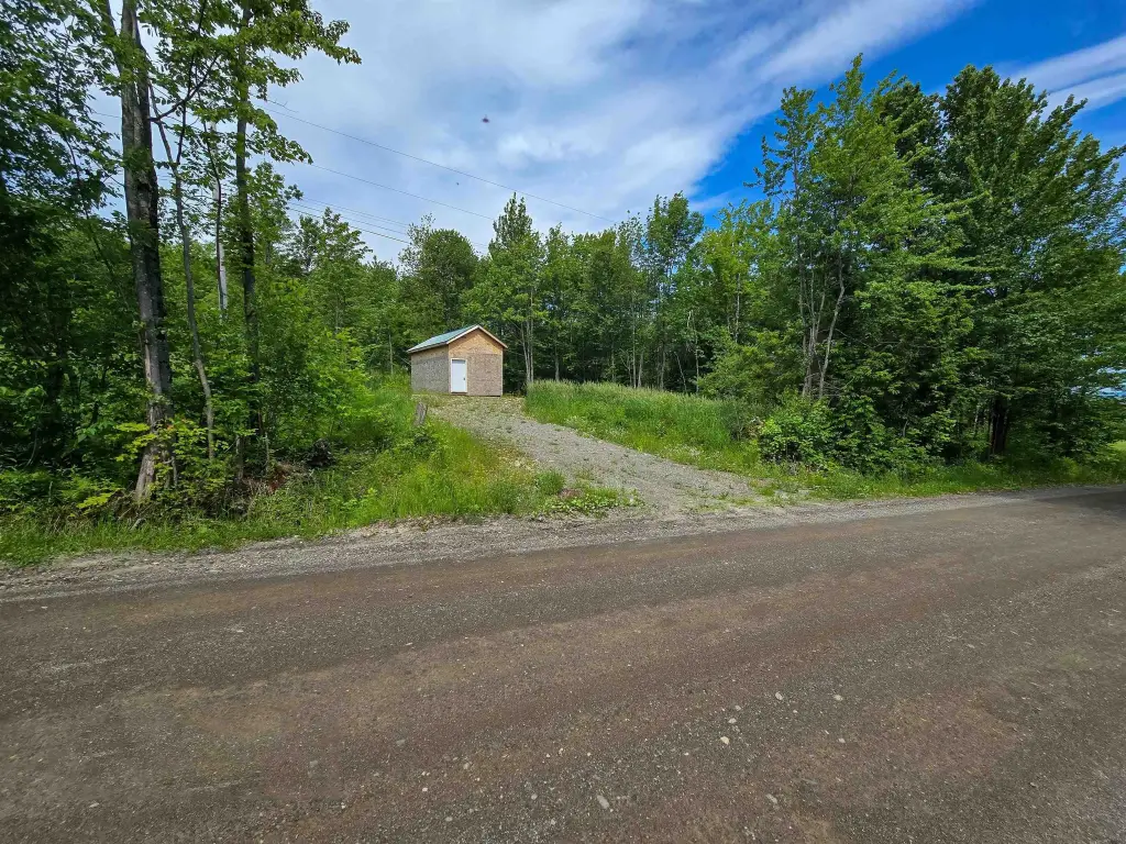
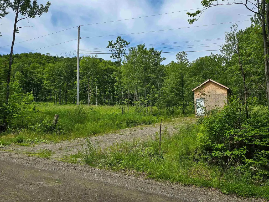
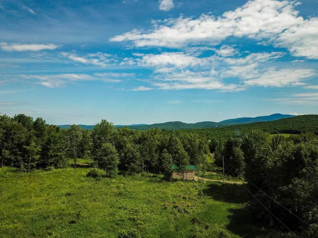
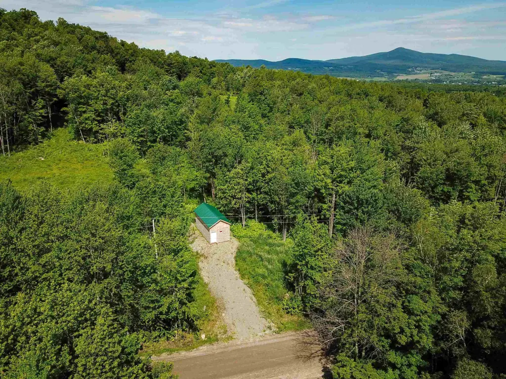
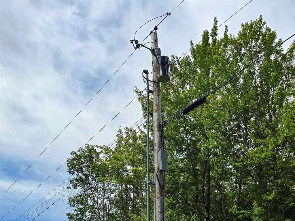
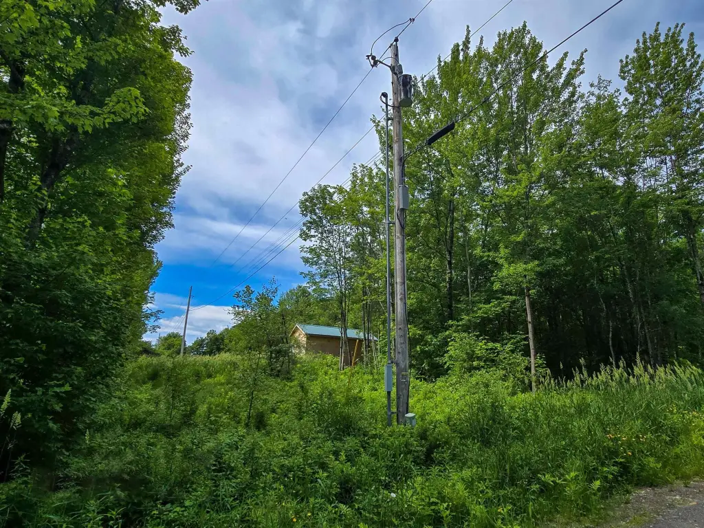
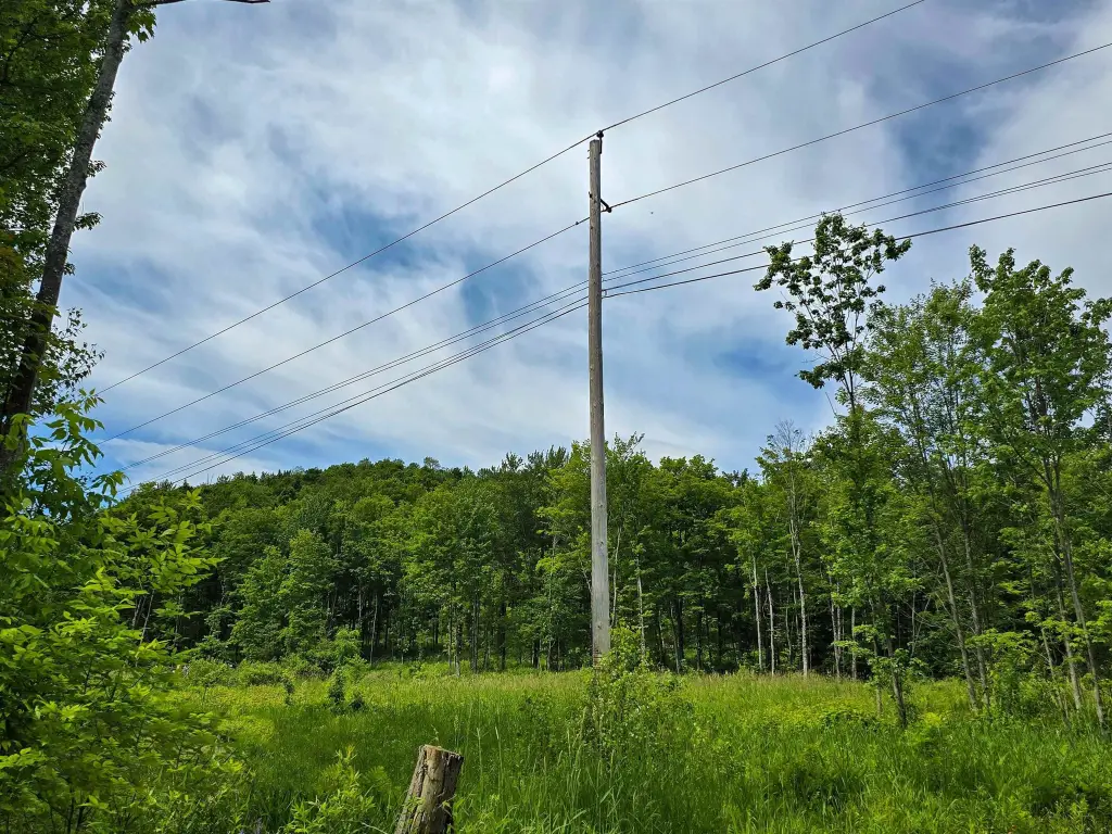
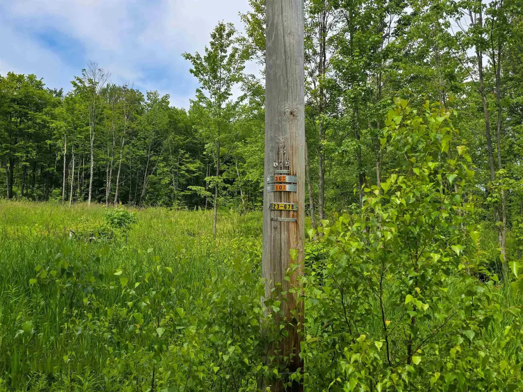
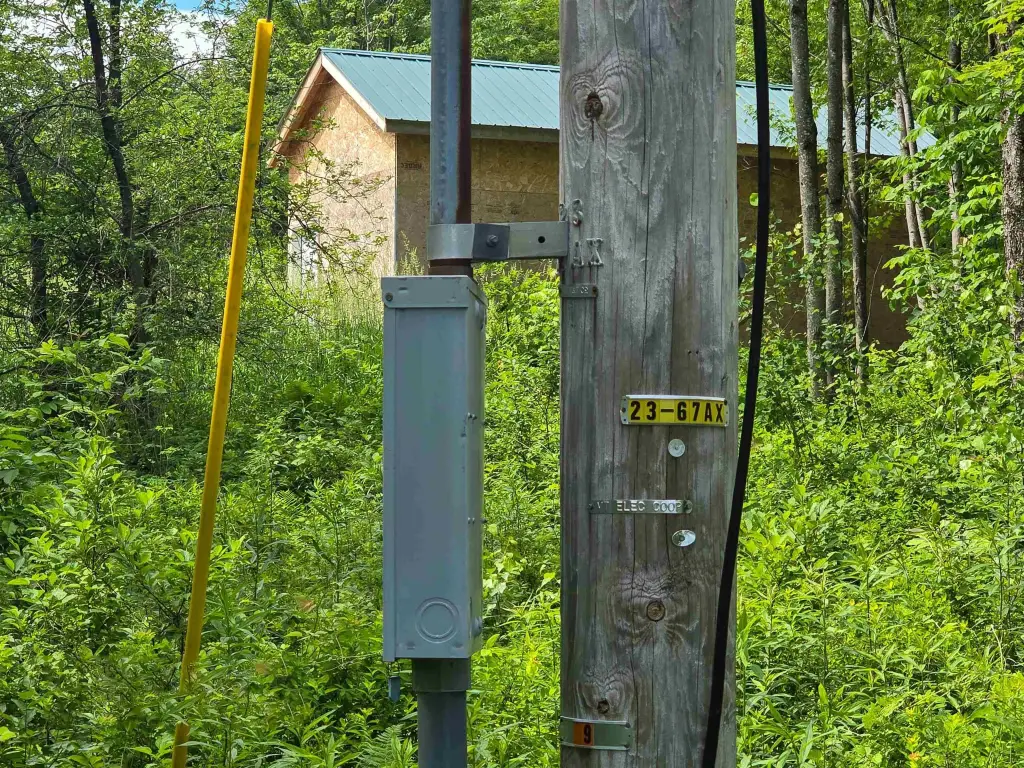
- Utility poles for Vermont Electric Coop and Consolidated Communications already on‑site
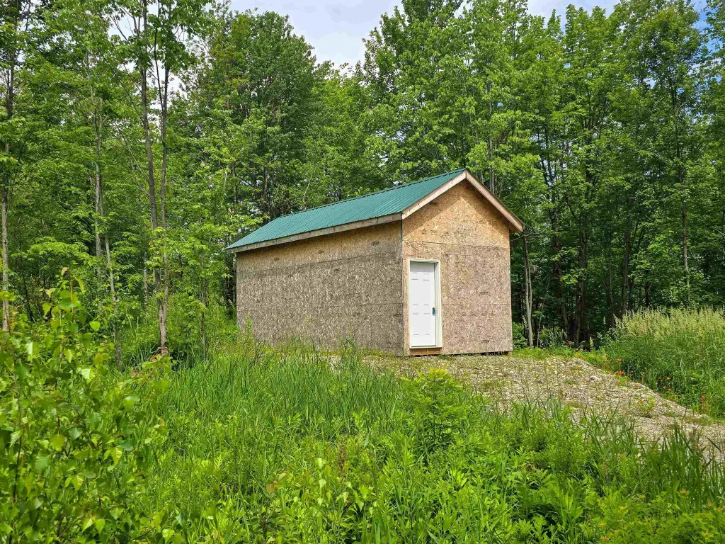
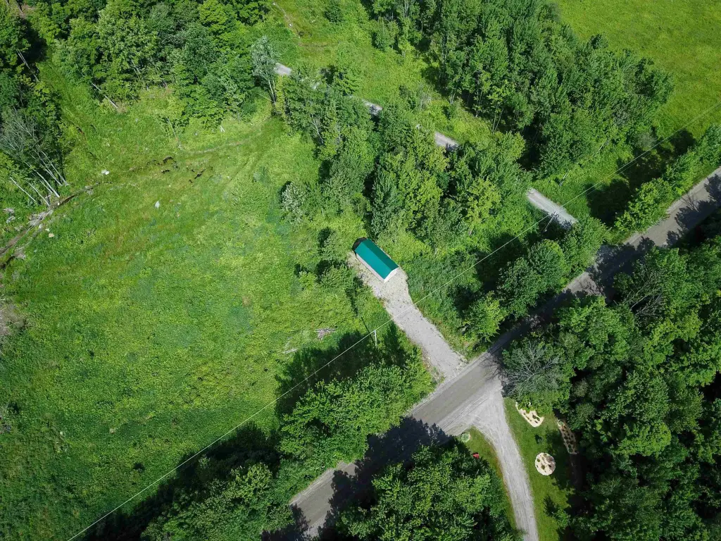
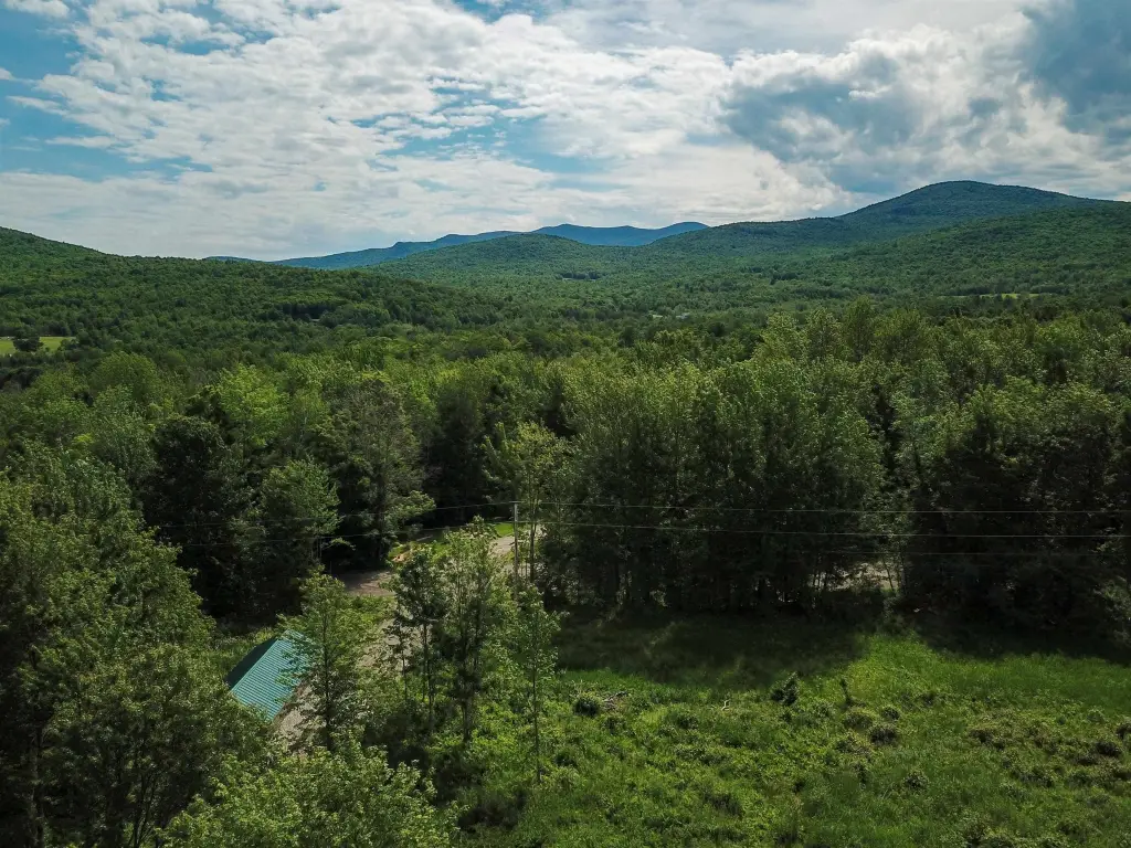
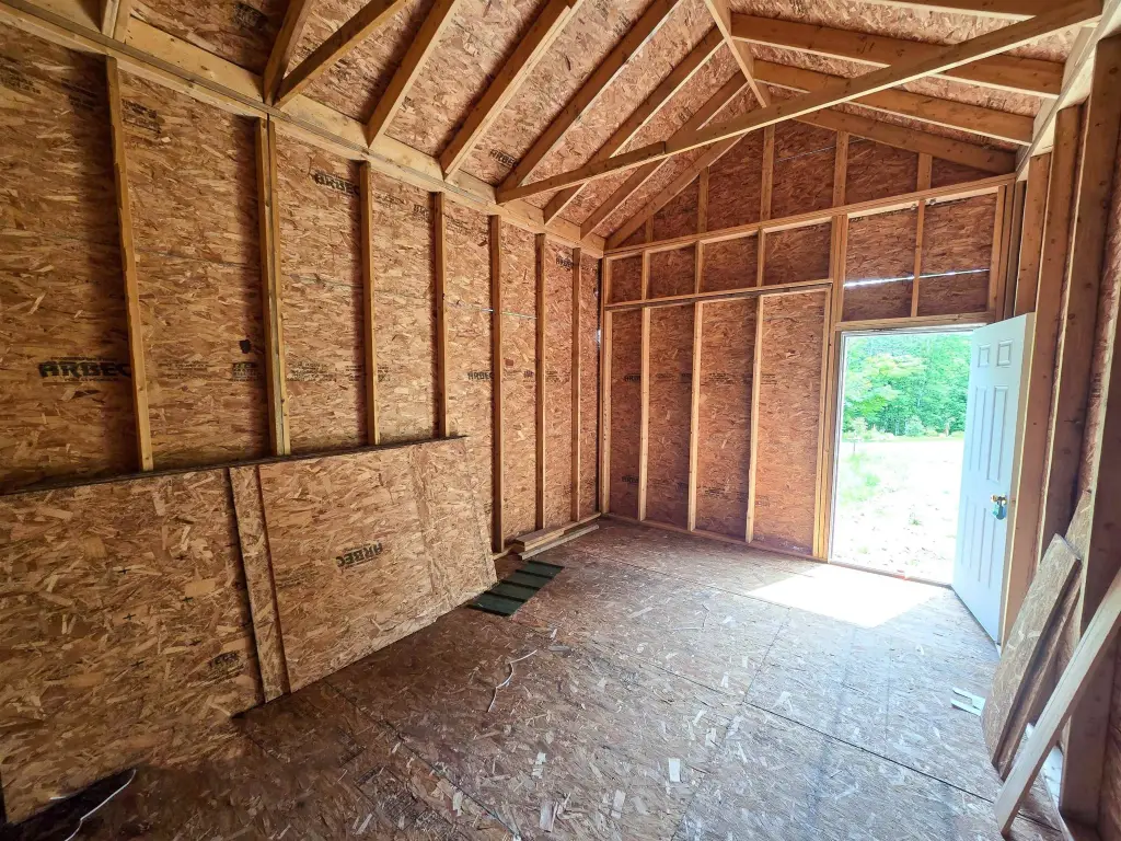
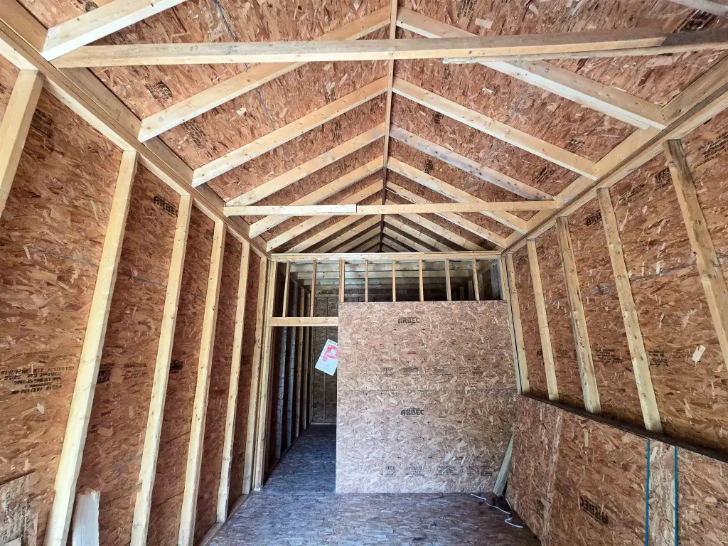
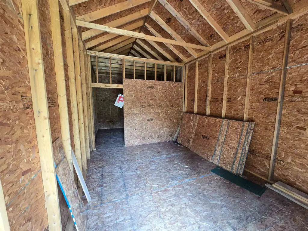
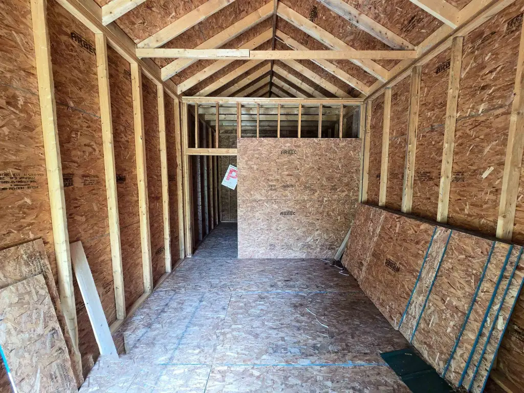
- Sturdy 12' x 28' stick‑built shed with 10‑foot walls originally designed for sap bulk tanks
- Septic soil testing ordered; septic needed and private well needed (WaterSource: well/private; Sewer: septic needed)
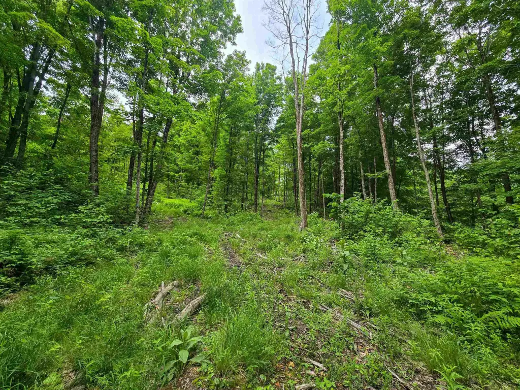
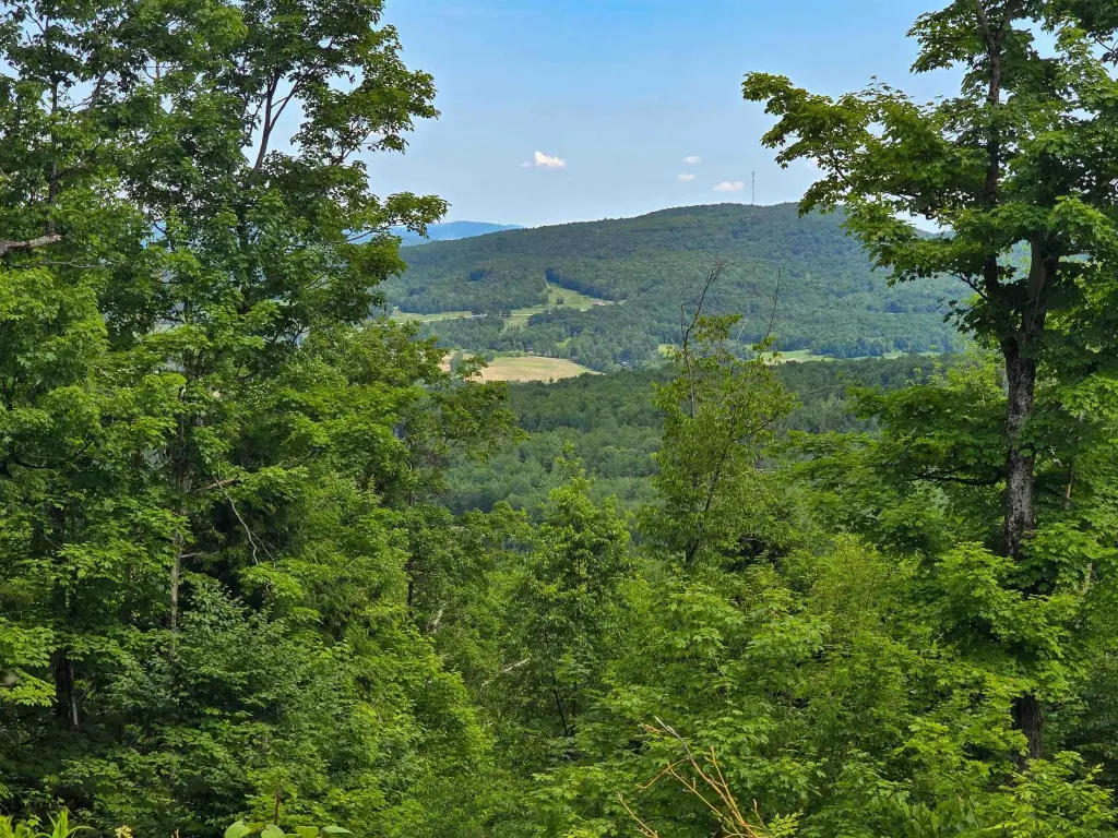
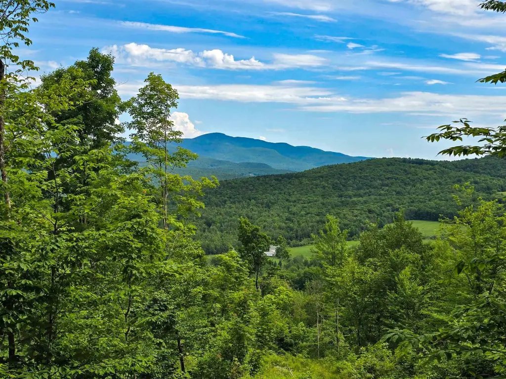
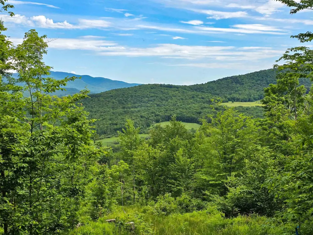
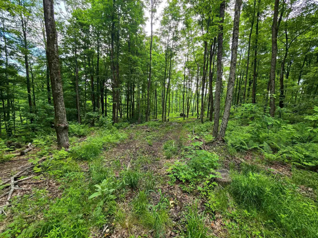
- Front cleared for building; a practical building spot inside the wood line with access via an internal woods road to a second clearing
Overview
Access is provided from Wightman Hill Road. Vermont Electric Coop and Consolidated Communications utility poles are already on-site. Septic soil testing has been ordered, with reports to be provided upon receipt. The front of the property has been cleared for a potential primary residence or recreational cabin, and the property also includes an interior woods road reaching a second clearing.
For buyers seeking a working landscape or a seasonal-use property, the combination of established maple sugaring infrastructure, upland woods road access, and an existing shed supports multiple plans. The shed can function as secure storage for vehicles and equipment, or be adapted for sugaring-related activities or hunting camp use. The parcel is not currently enrolled in the Vermont Current Use program, which may factor into how you plan for future land management and development timing.
Current Use by Public Records
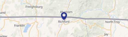
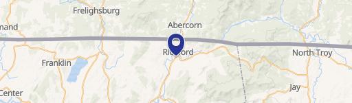
Location Insight
- Map
- Local Demand
- City
- Richford
- County
- Franklin
- State
- Vermont
- Longitude
- -72.6456872
- Latitude
- 44.9641501