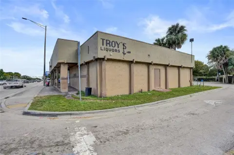
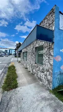
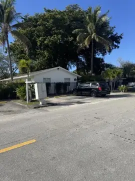
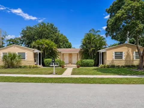
2870 E Sunrise Blvd, Fort Lauderdale, FL 33304
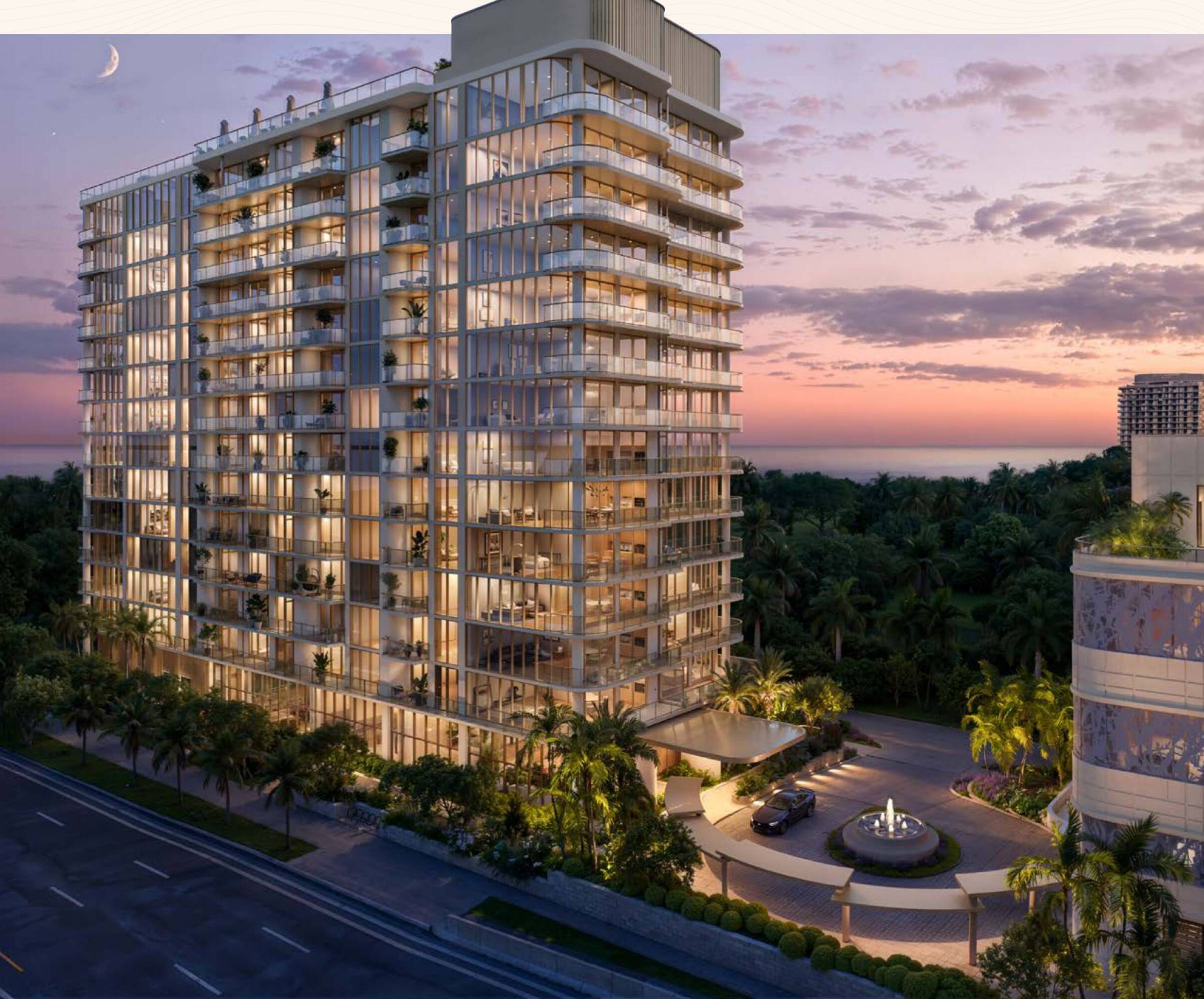
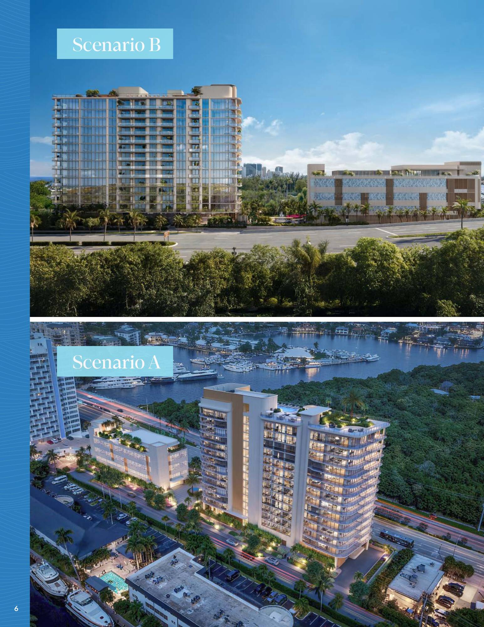
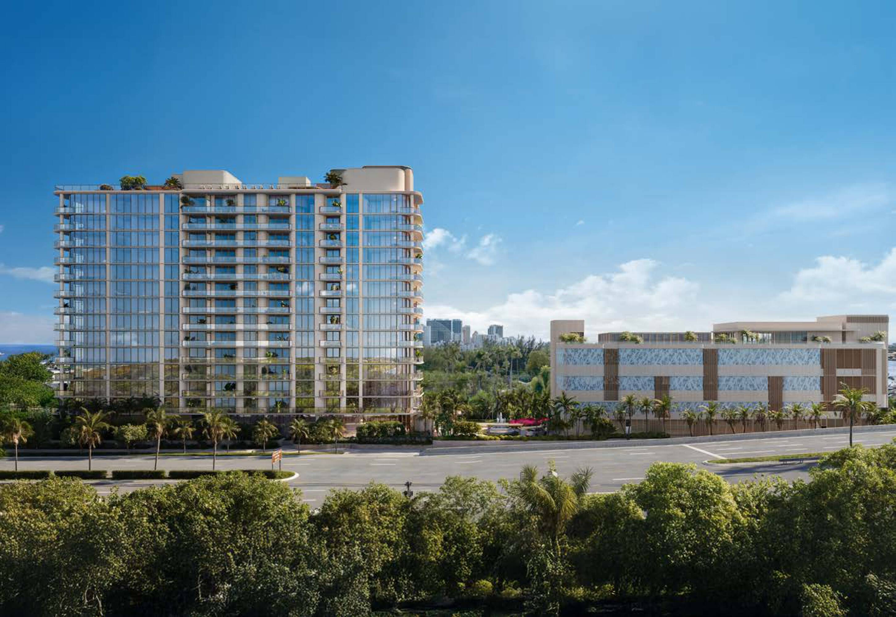
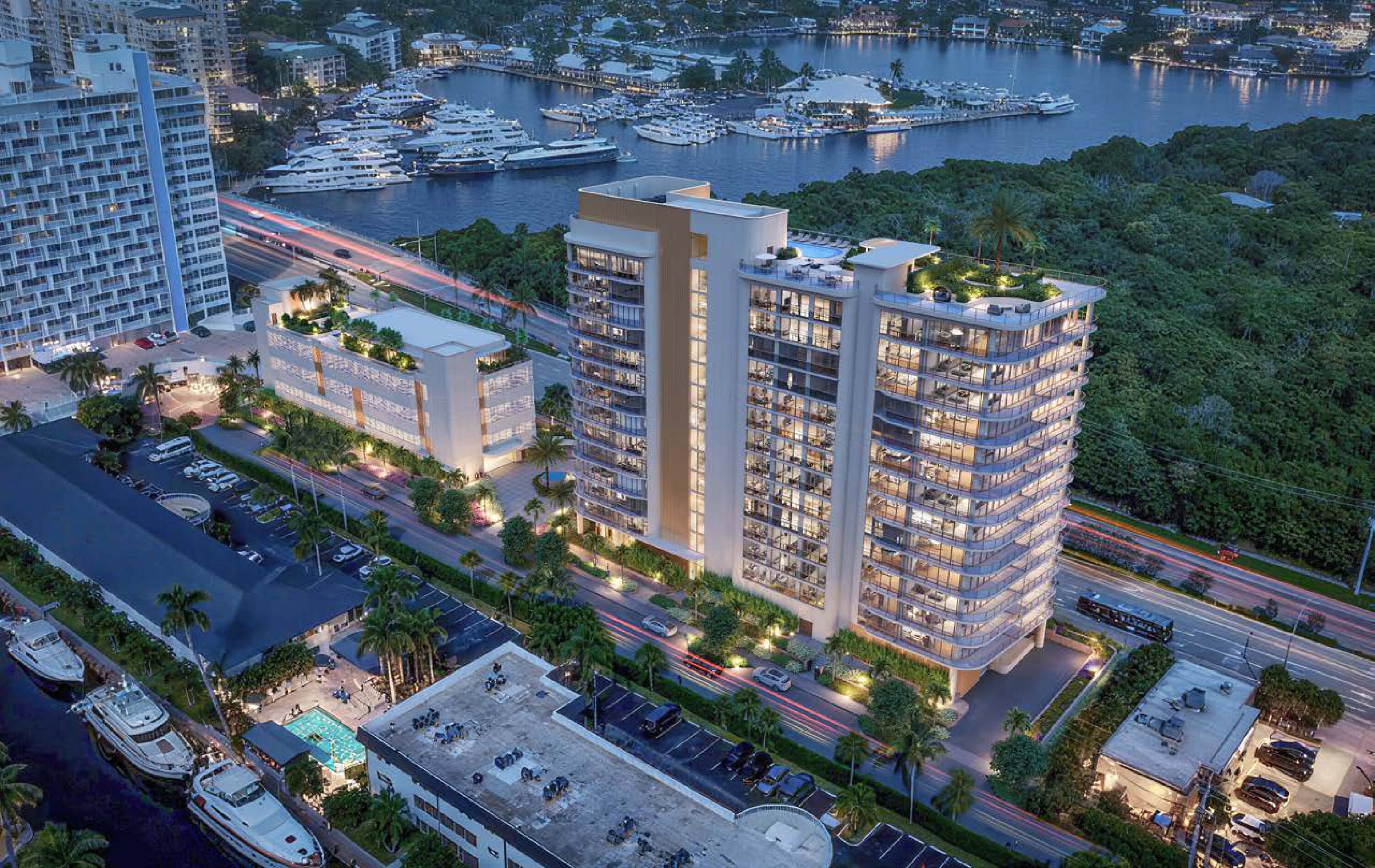
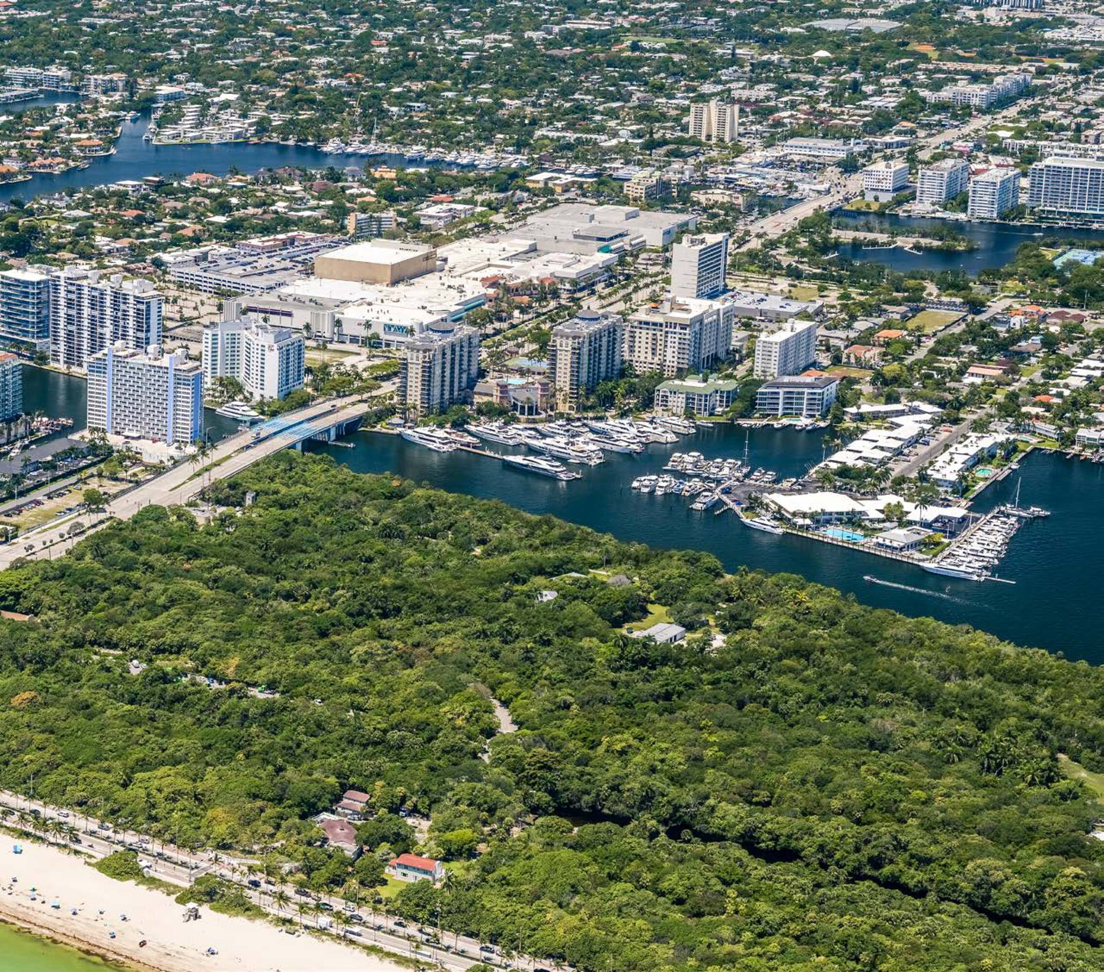
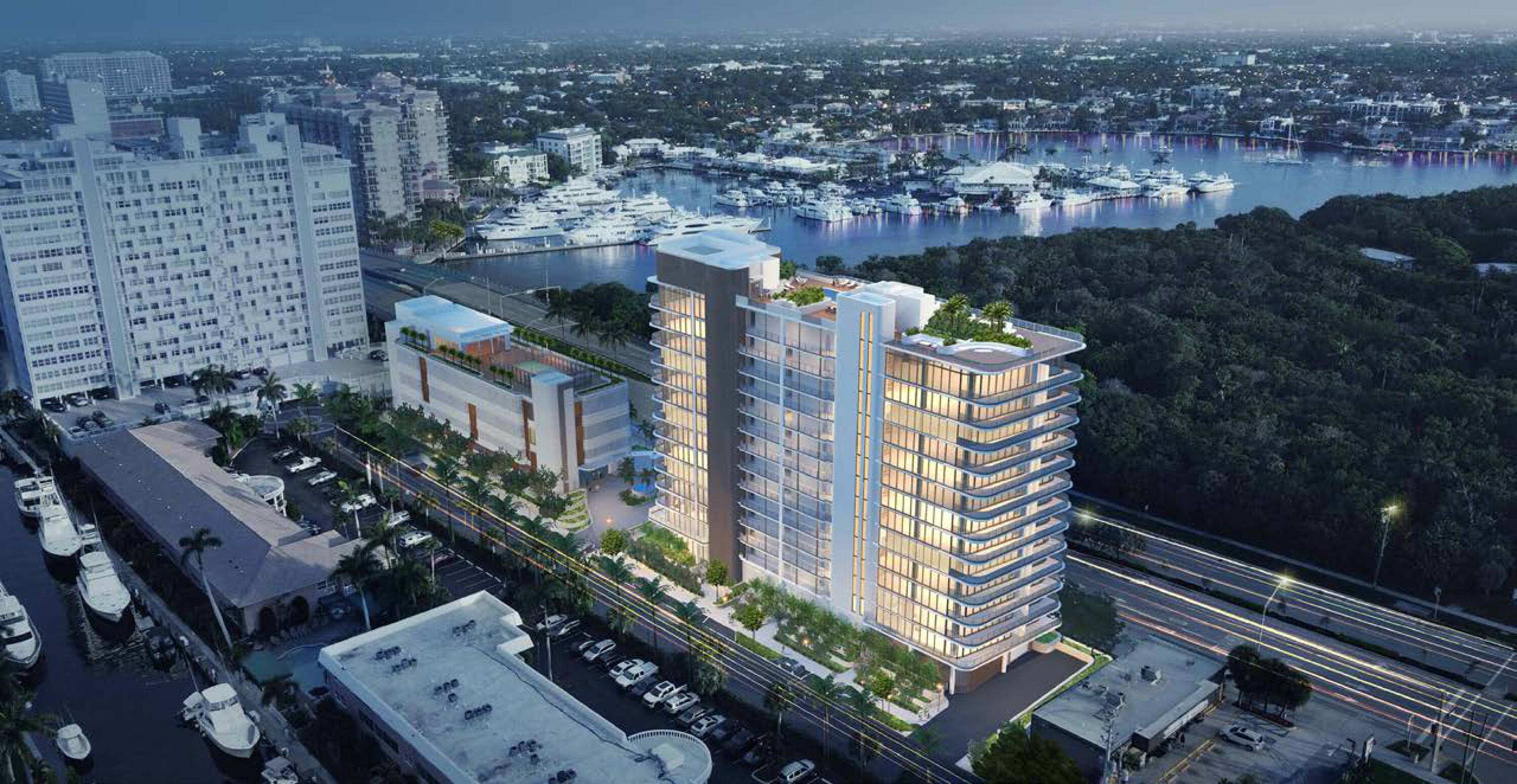
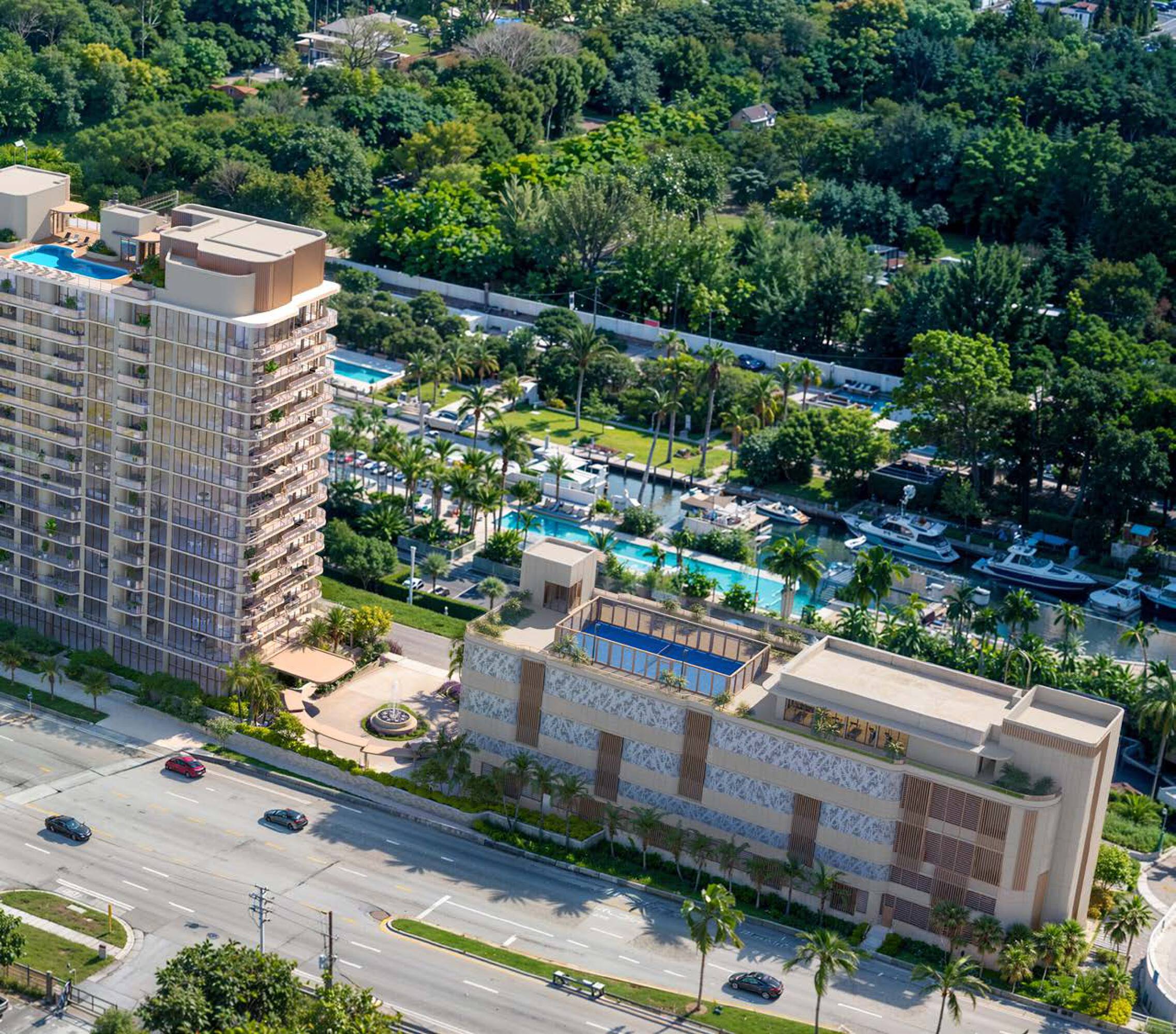
Site plan-approved development paths on a rectangular parcel near the Atlantic, with substantial frontage on a two-way arterial.
- Added:
- Jun 4, 2026
- Days on Market:
- 21
- Last Refresh:
- Jun 20 at 3:04 am
Property Features for 2870 E Sunrise Blvd
General Information
- Standard status
- Active
- Lot size
- 1.26 Acres
- Property subtype
- Land
Listing agent Virgilio Fernandez License #SL3397219
Listing office Cushman & Wakefield - Miami, Florida (305) 613-4507
Listing date Jun 4, 2026
Source Crexi
Displayed information is deemed reliable but is not guaranteed and should be independently verified.
All listing content including descriptions, pricing, images are the copyrighted material of Cushman & Wakefield - Miami, Florida
HighLights
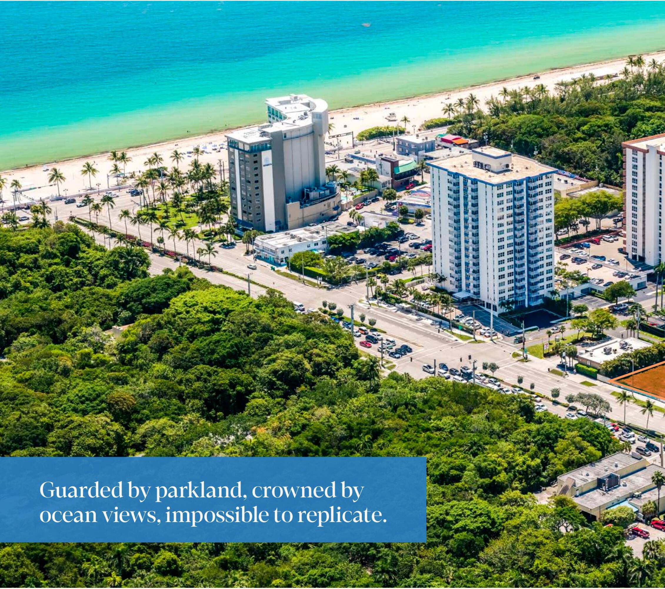
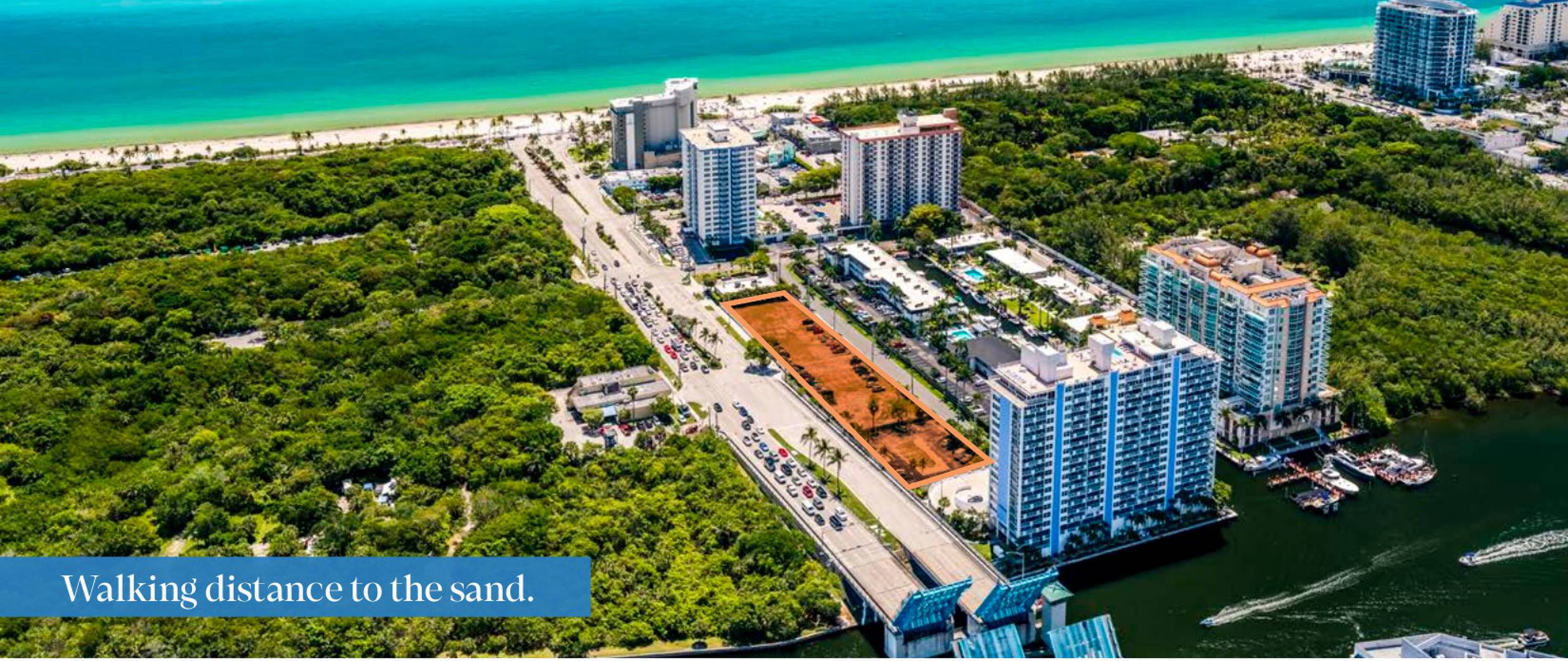
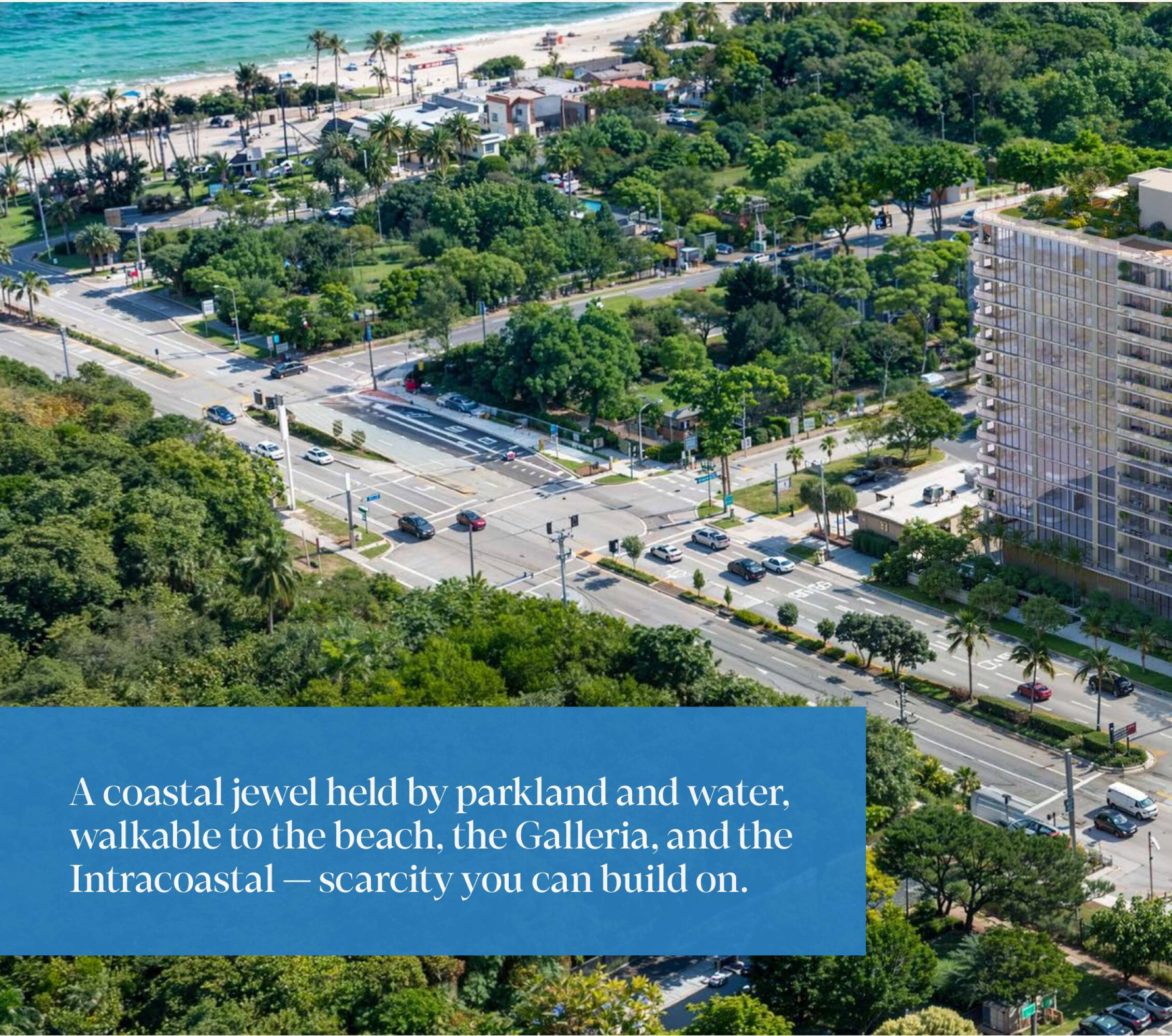
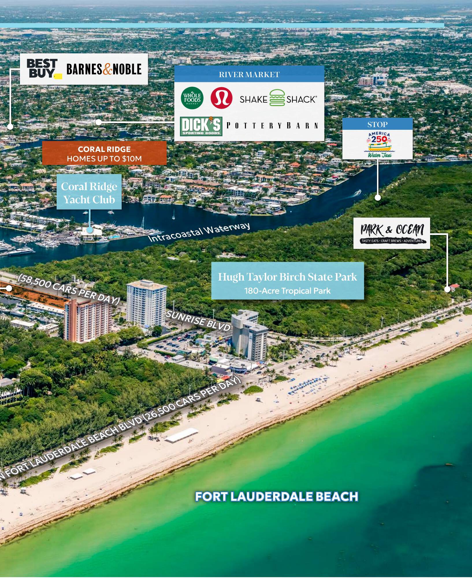
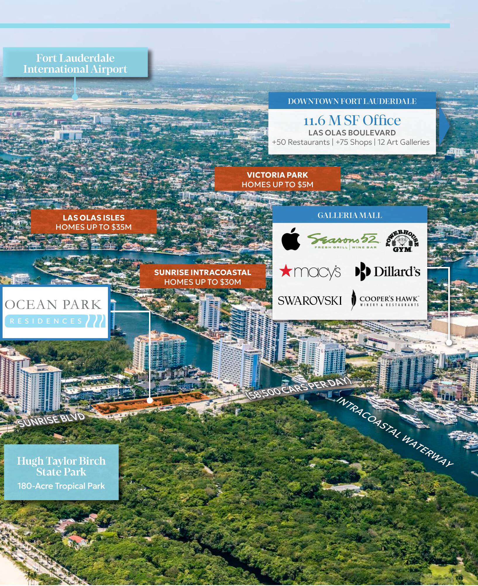
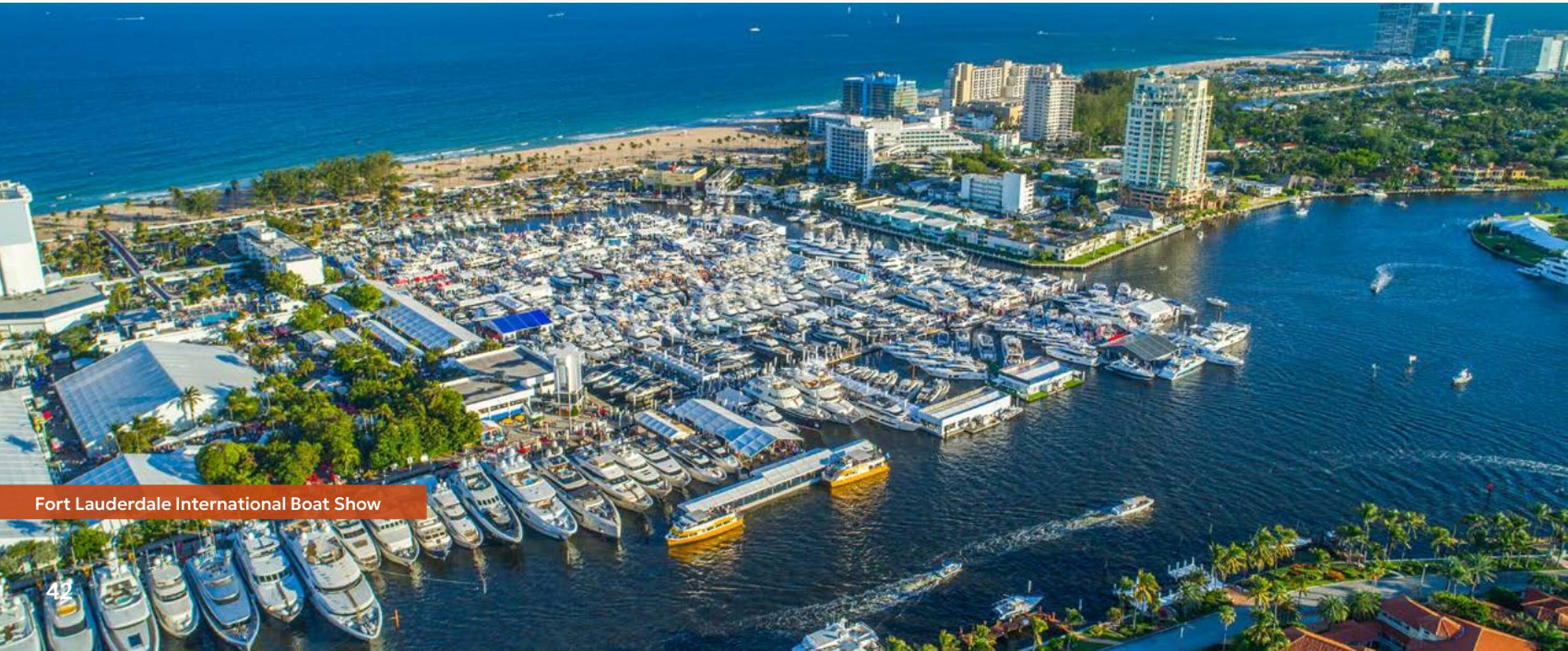
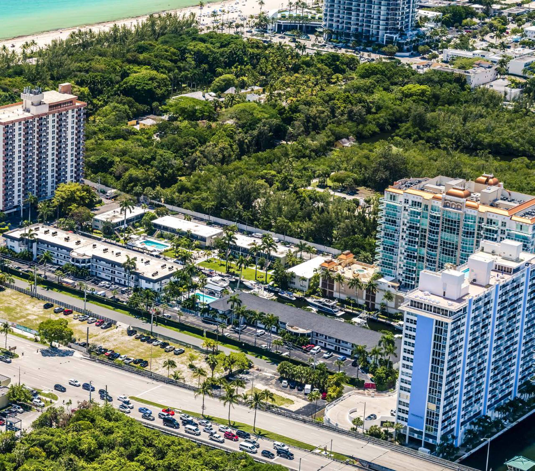
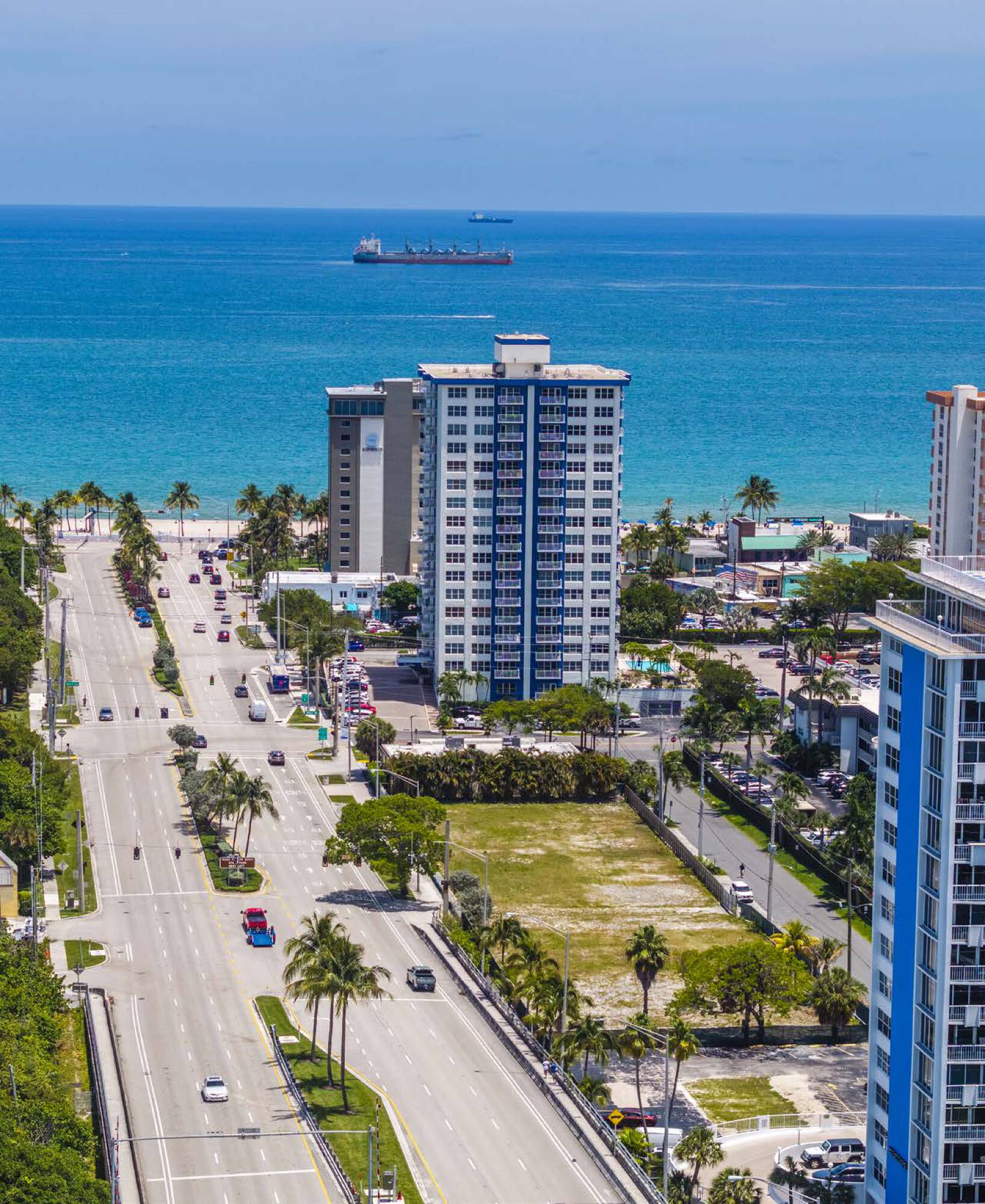
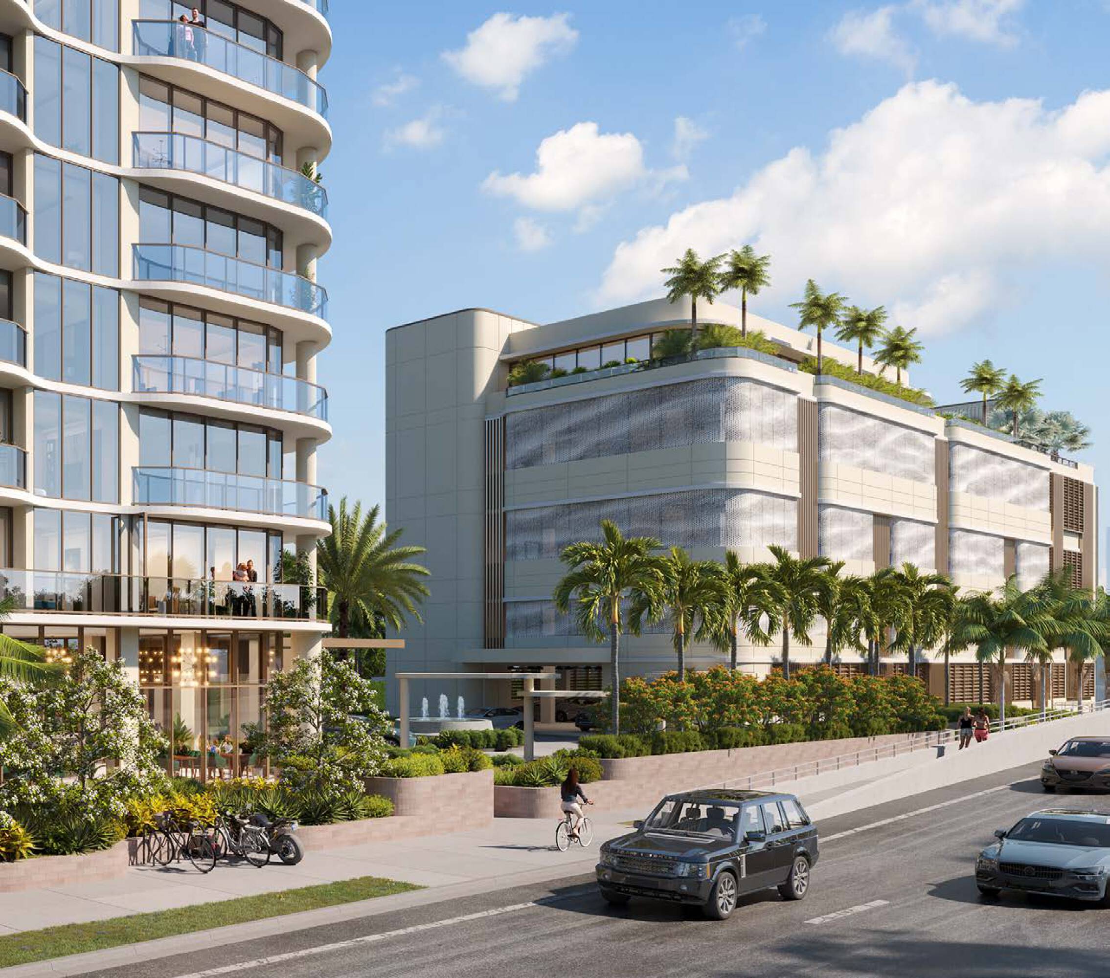
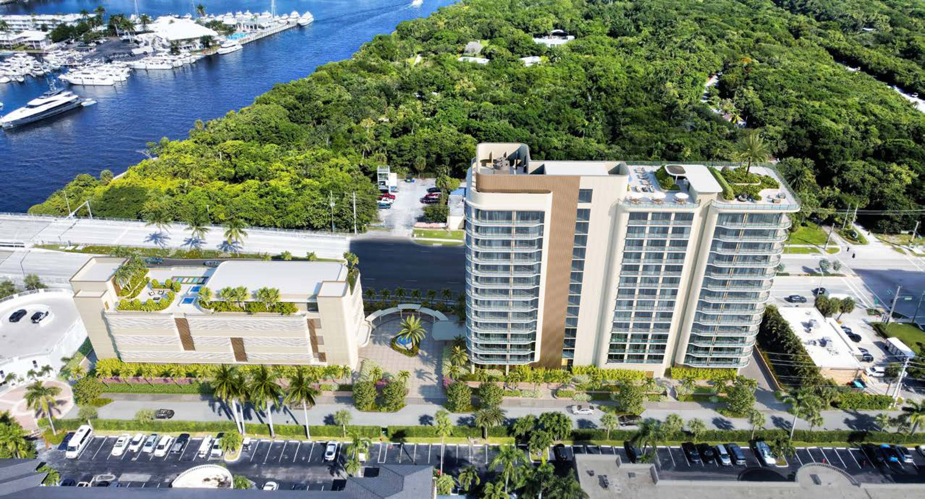
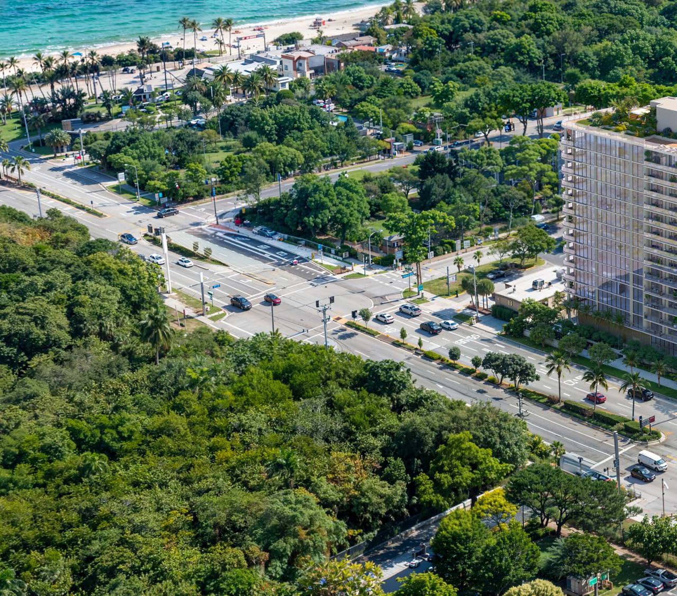
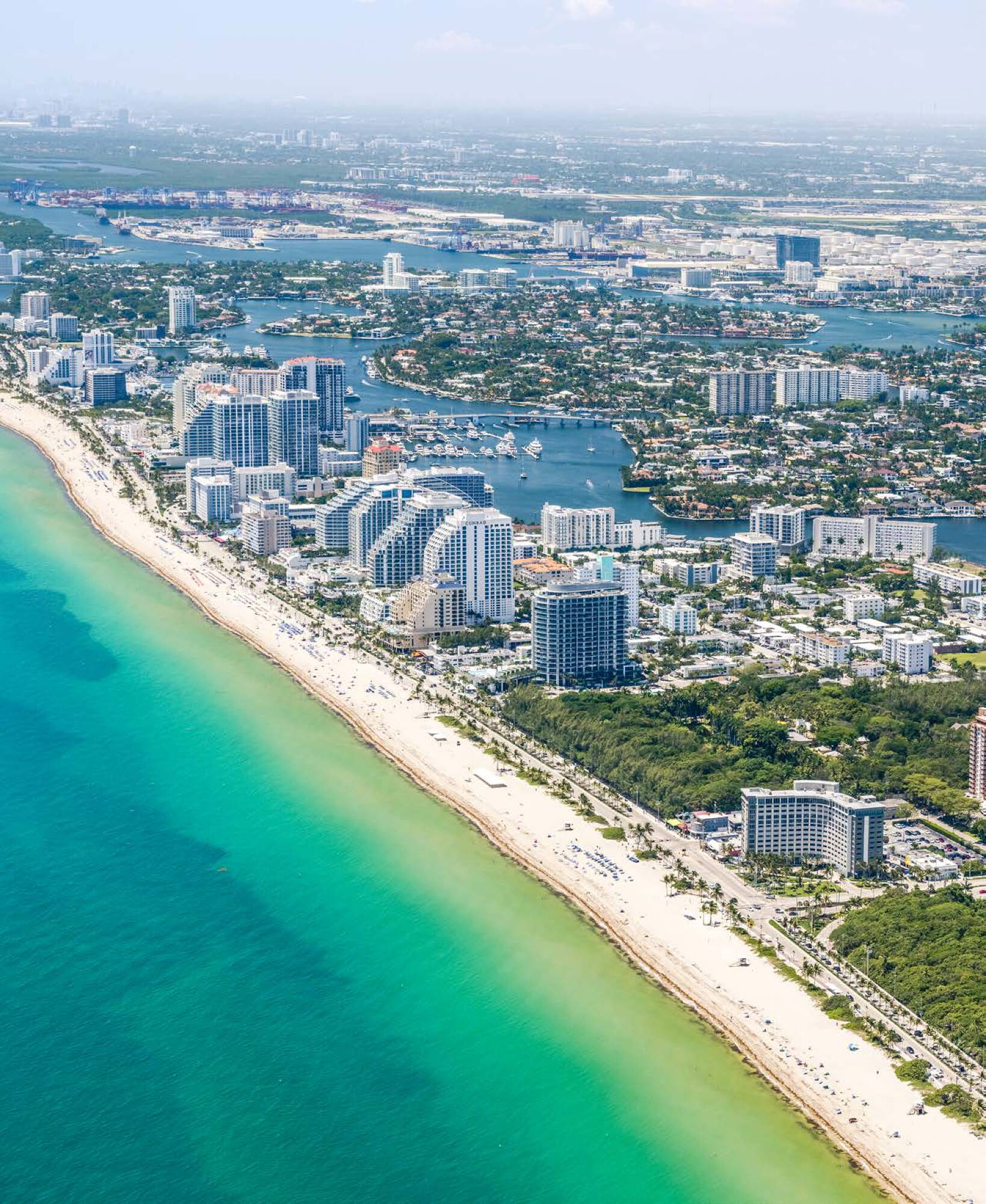
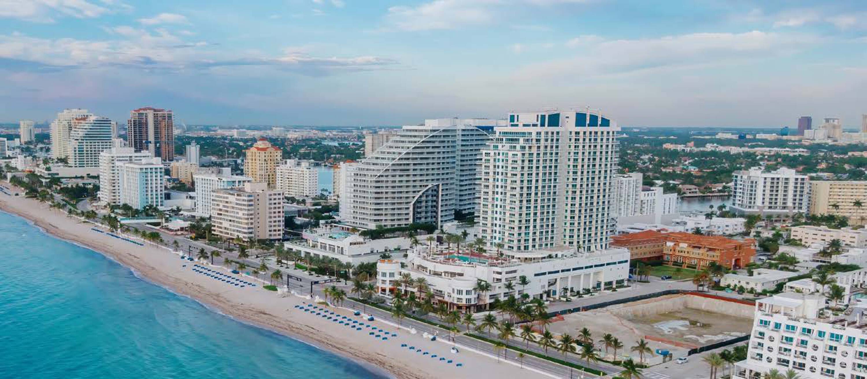
- 1.26‑acre rectangular infill parcel (approx. 54,870 SF) with about 550 ft of frontage on E Sunrise Boulevard
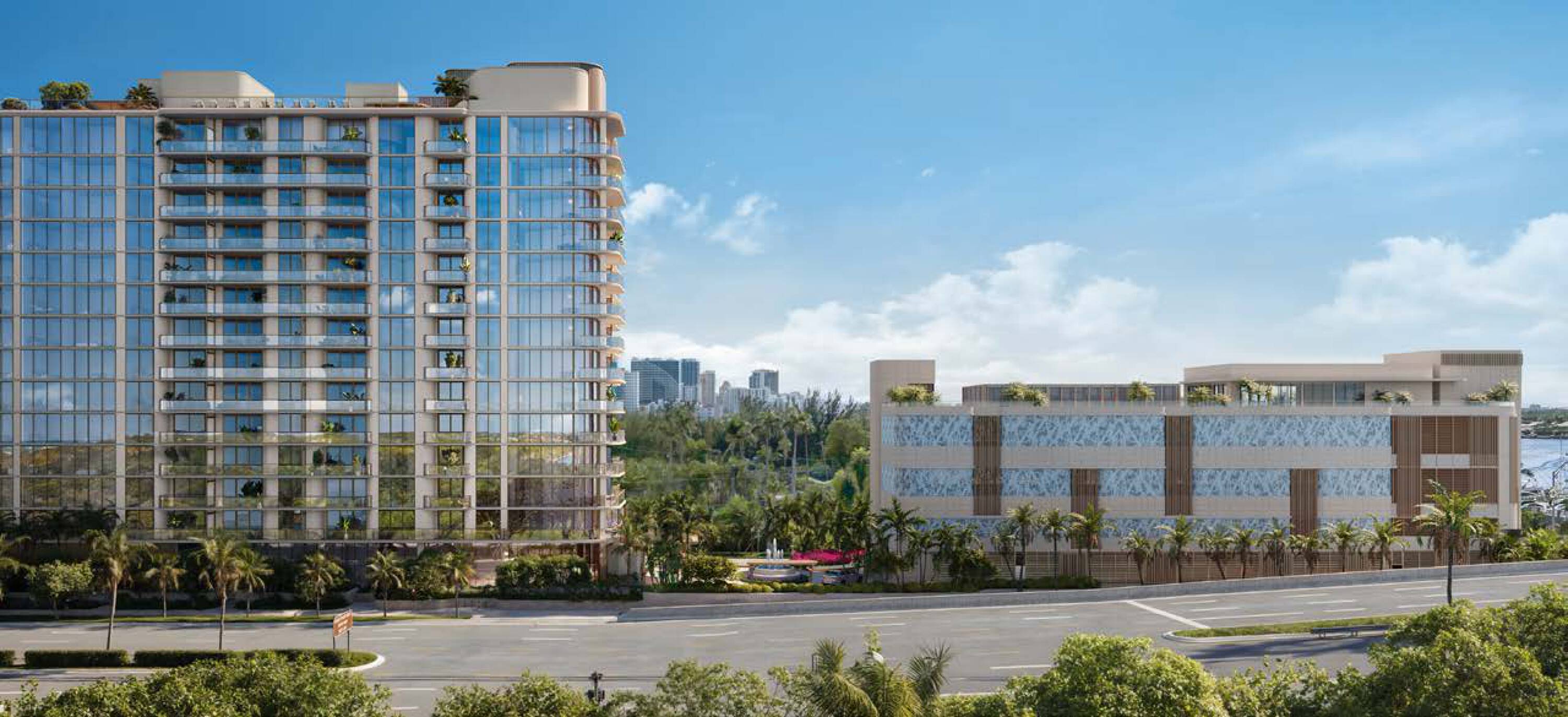
- Two fully designed, site plan‑approved development paths available on the same parcel
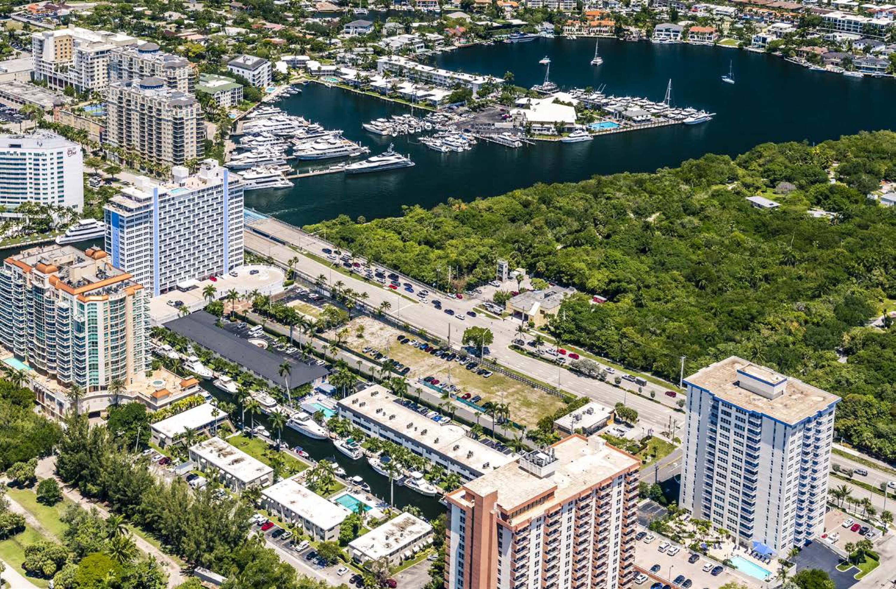
- Parcel fronts a two‑way arterial with approx. 58,500 vehicles per day and direct connection to A1A two blocks east
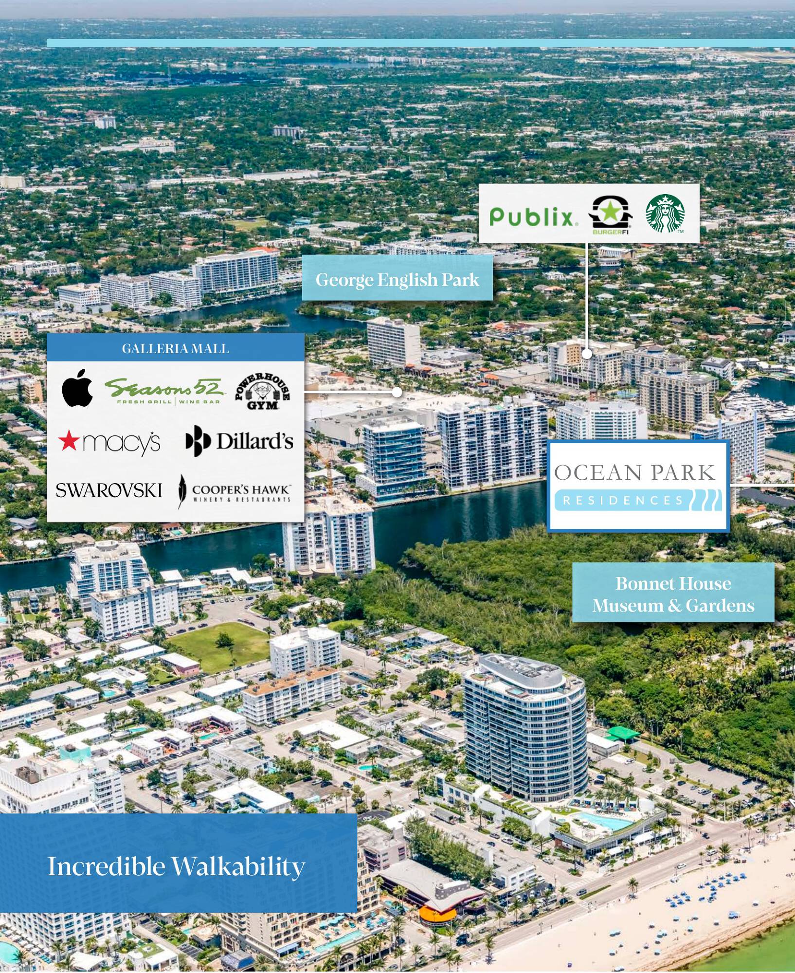
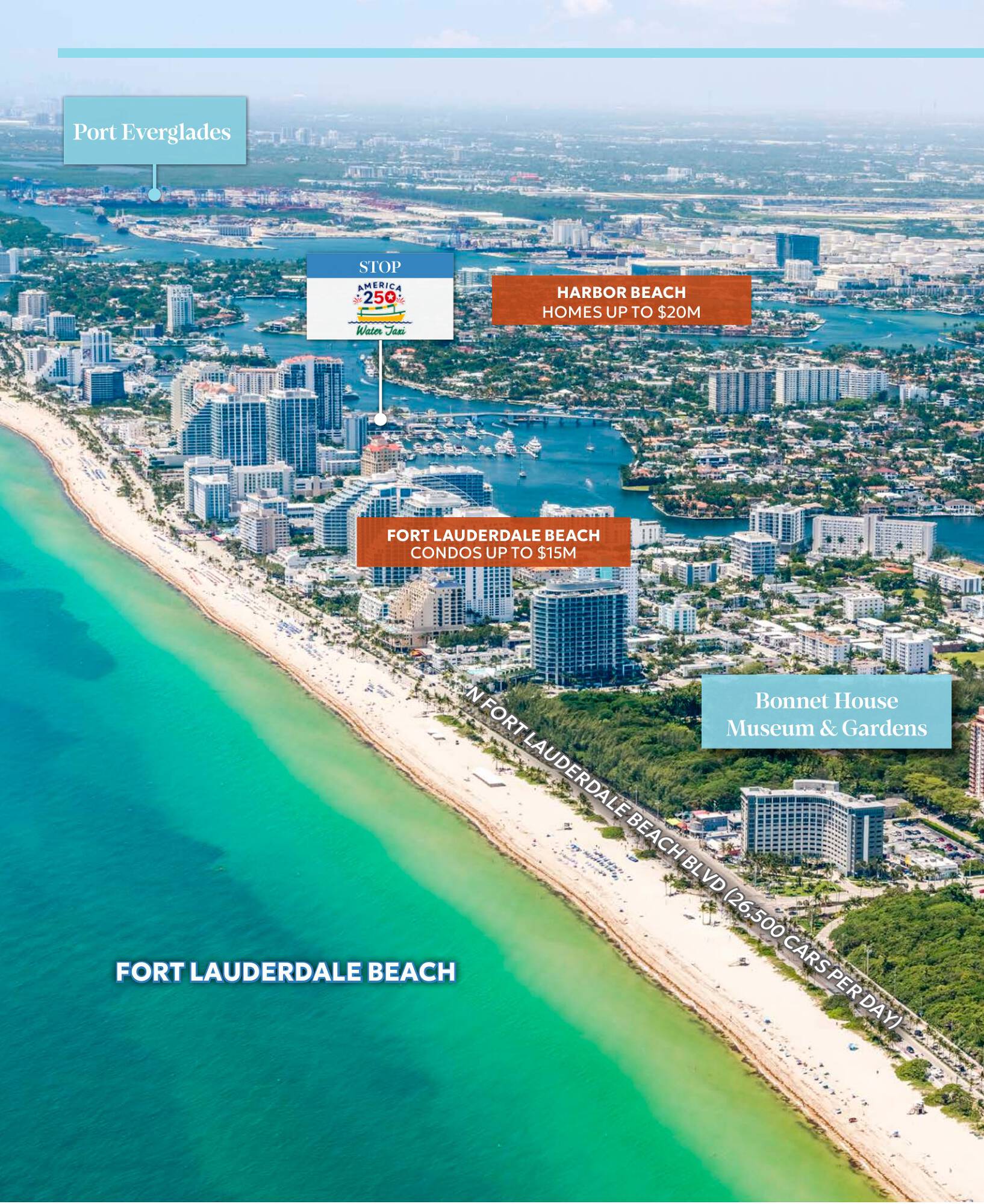
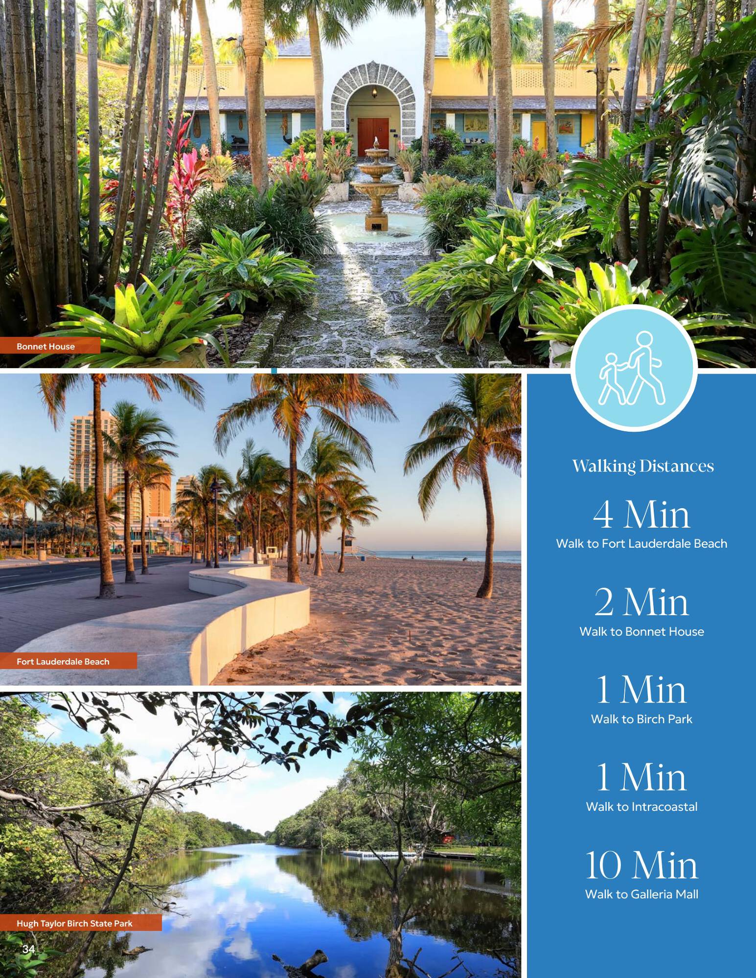
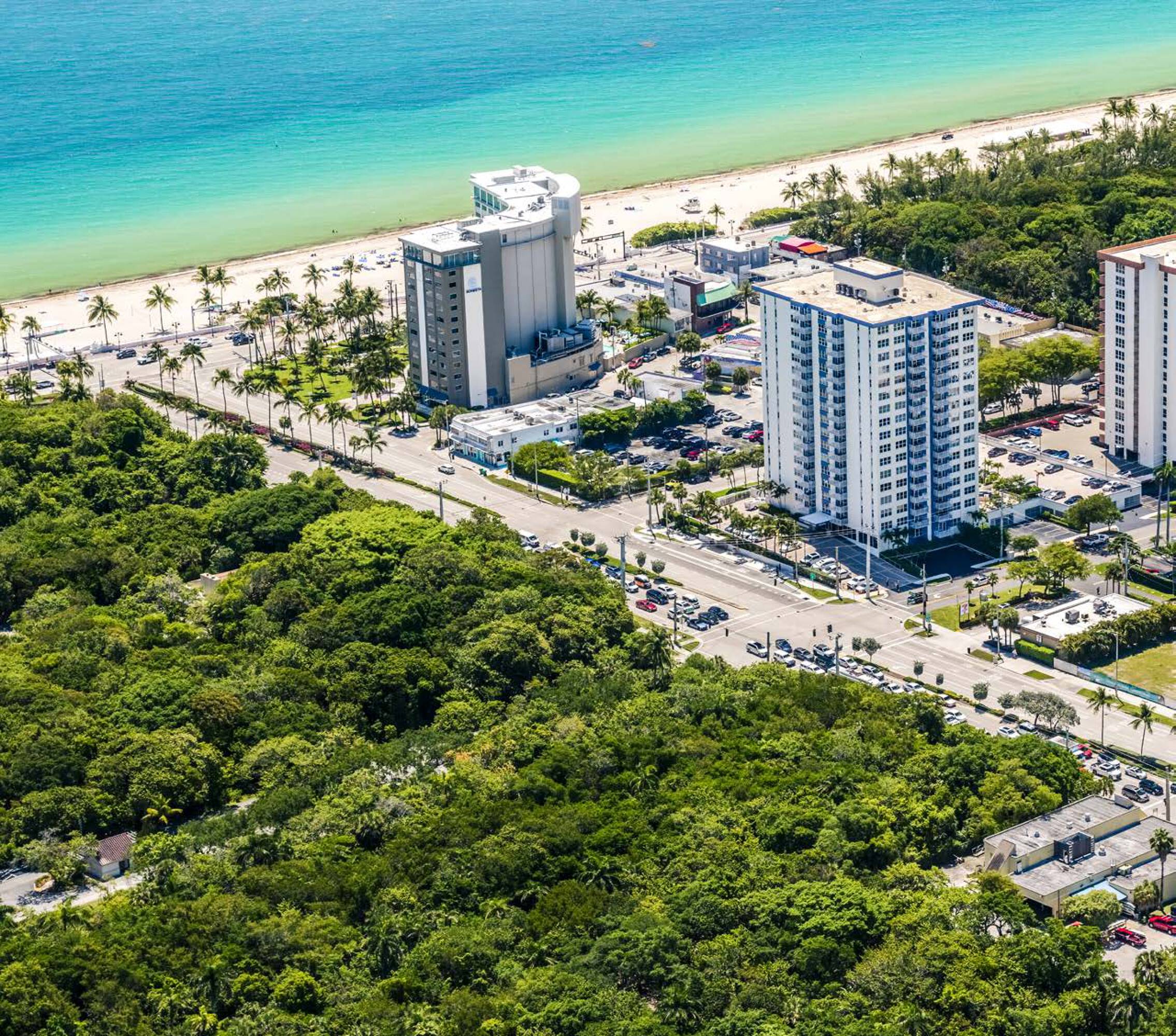
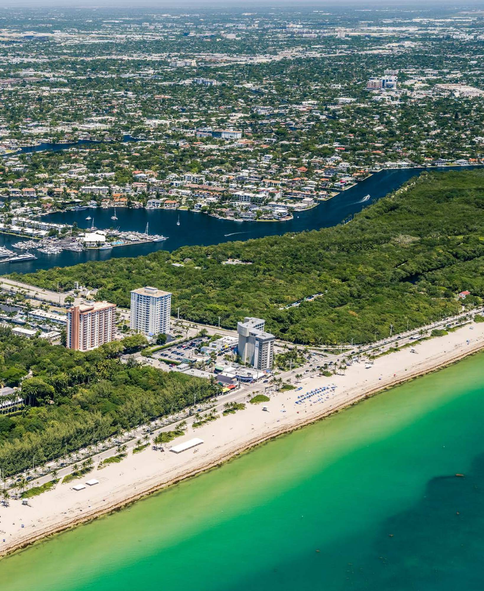
- Atlantic Ocean and A1A are less than 900 ft east; site is a few hundred feet from the Atlantic
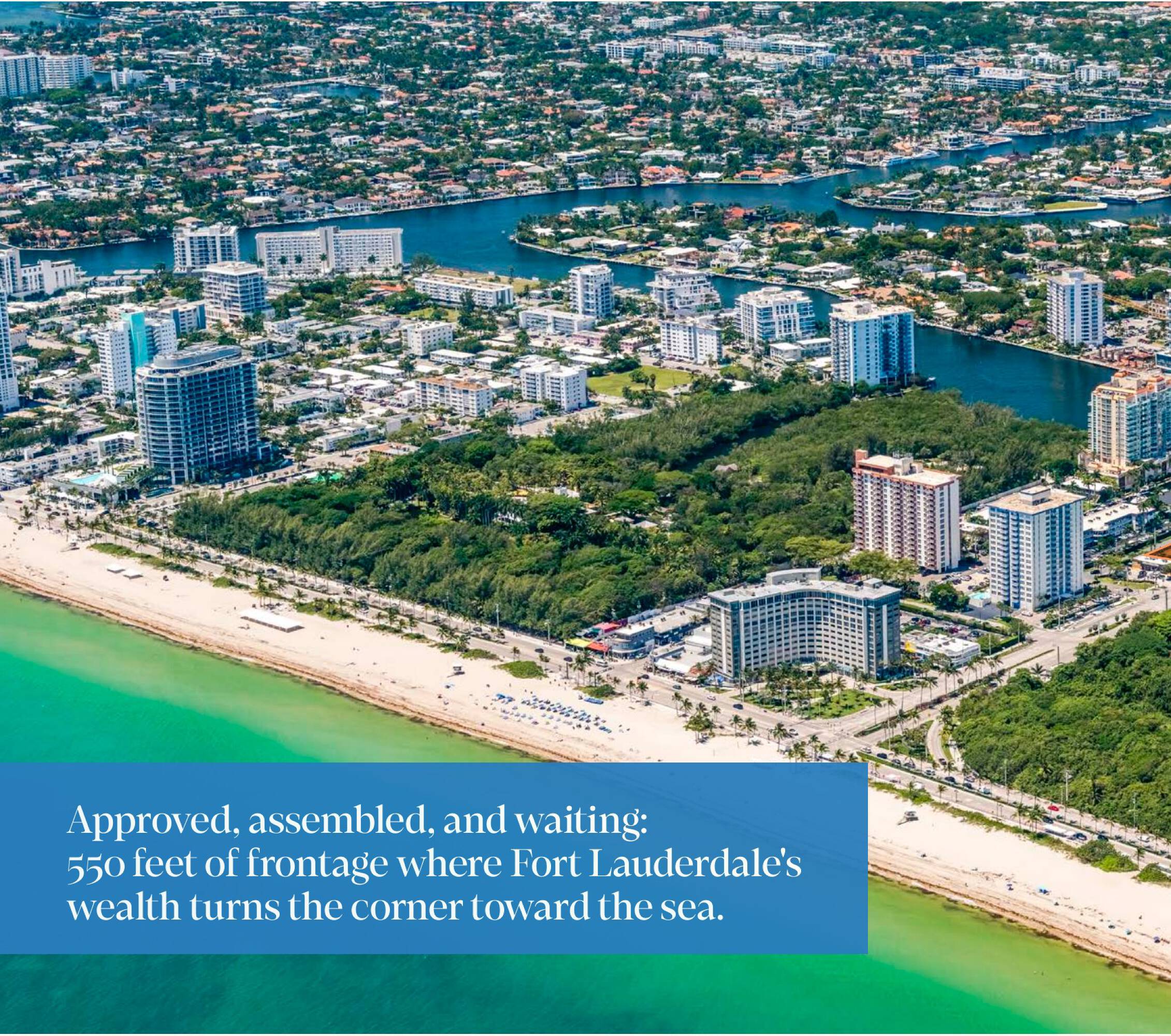
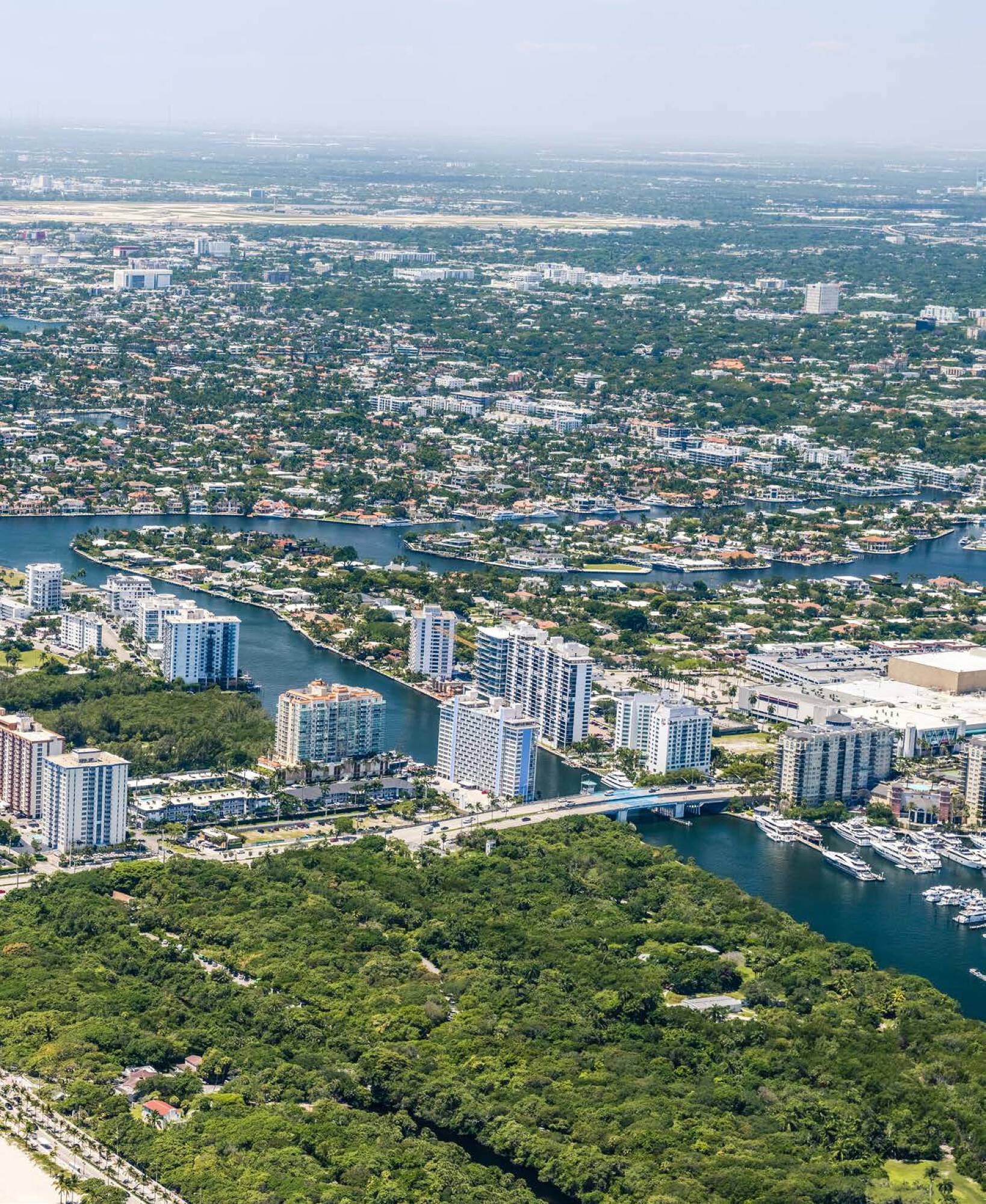
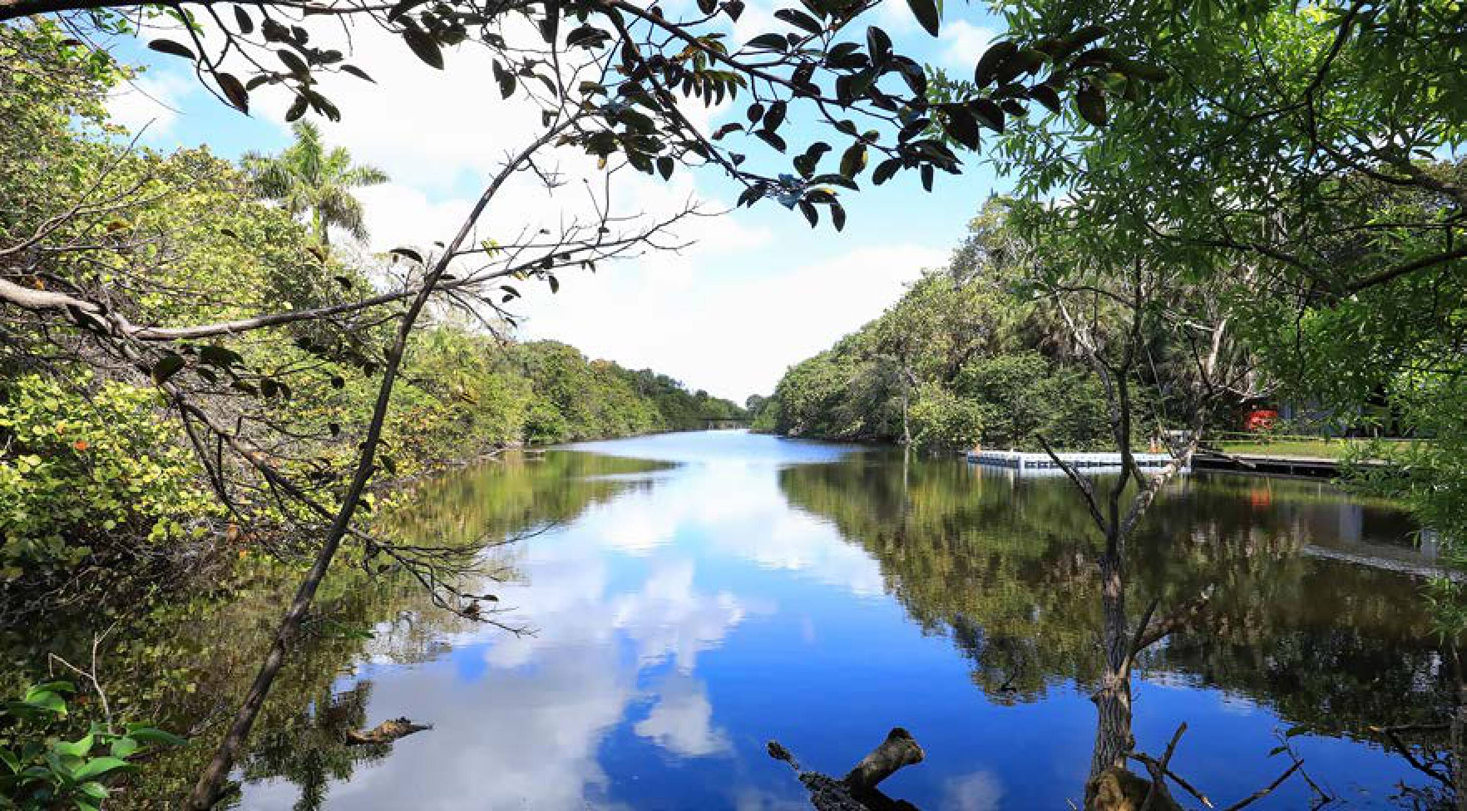
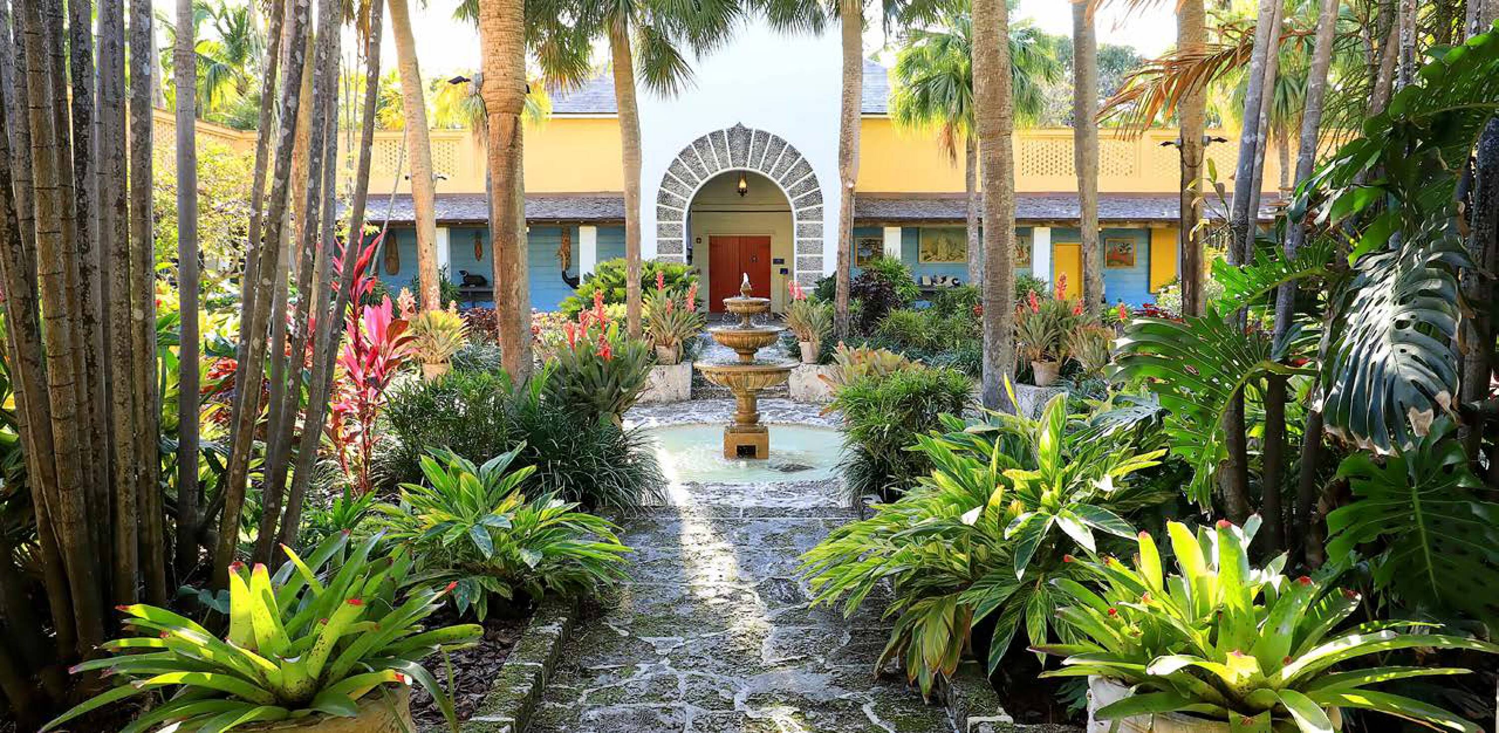
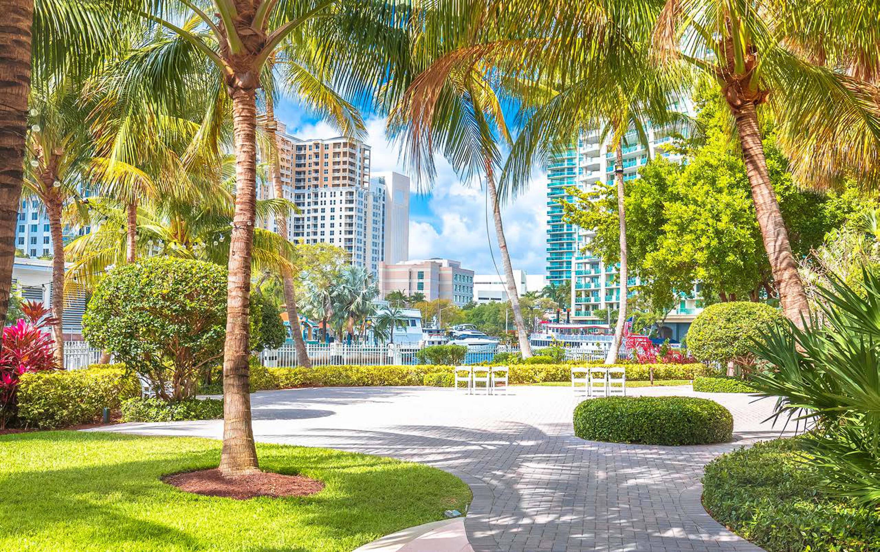
- Adjacent to Hugh Taylor Birch State Park (180 acres) to the north and Bonnet House Museum & Gardens to the south
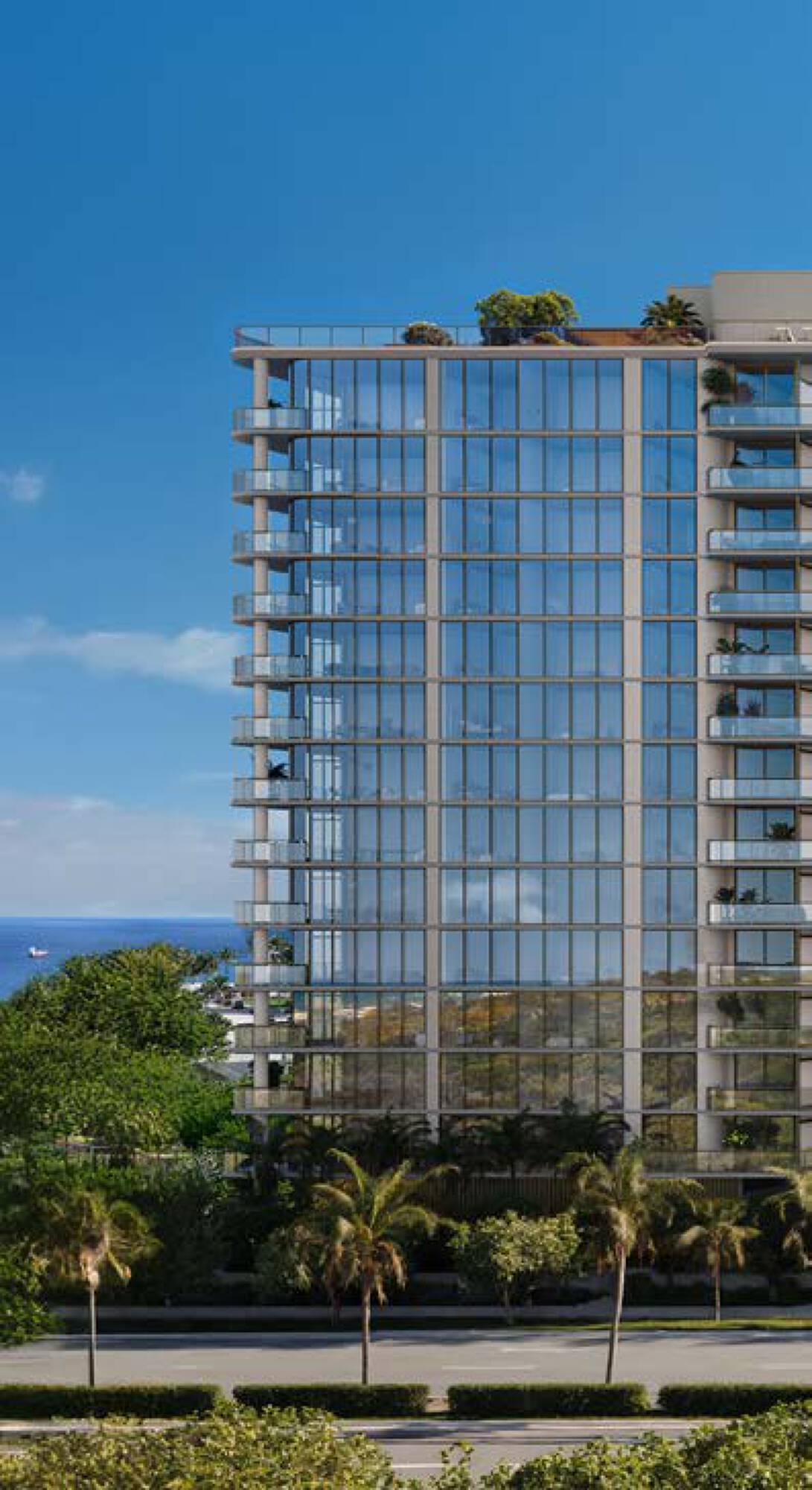
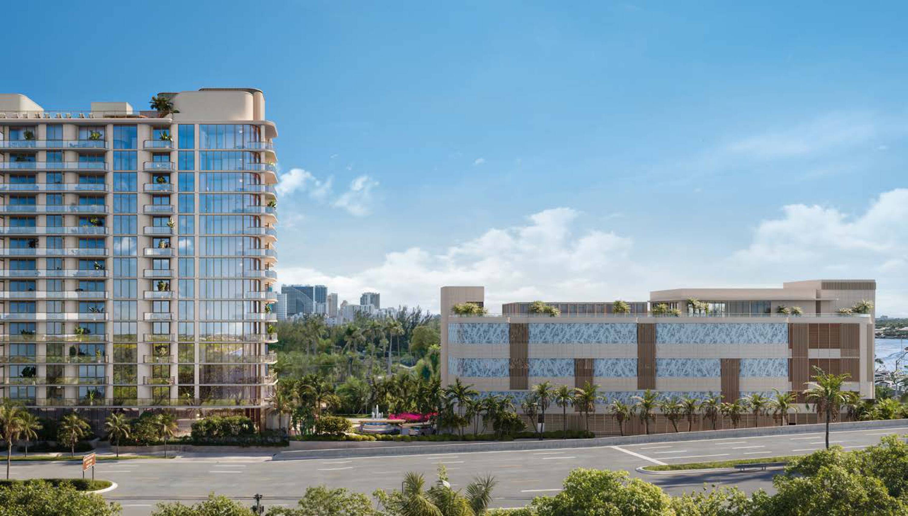
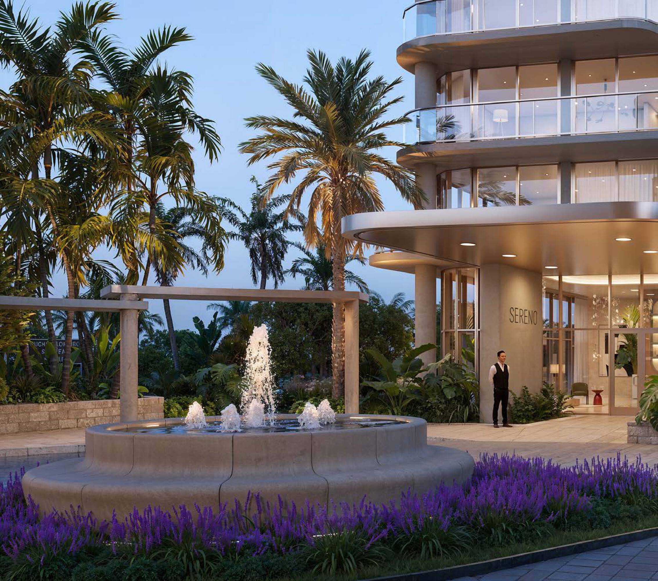
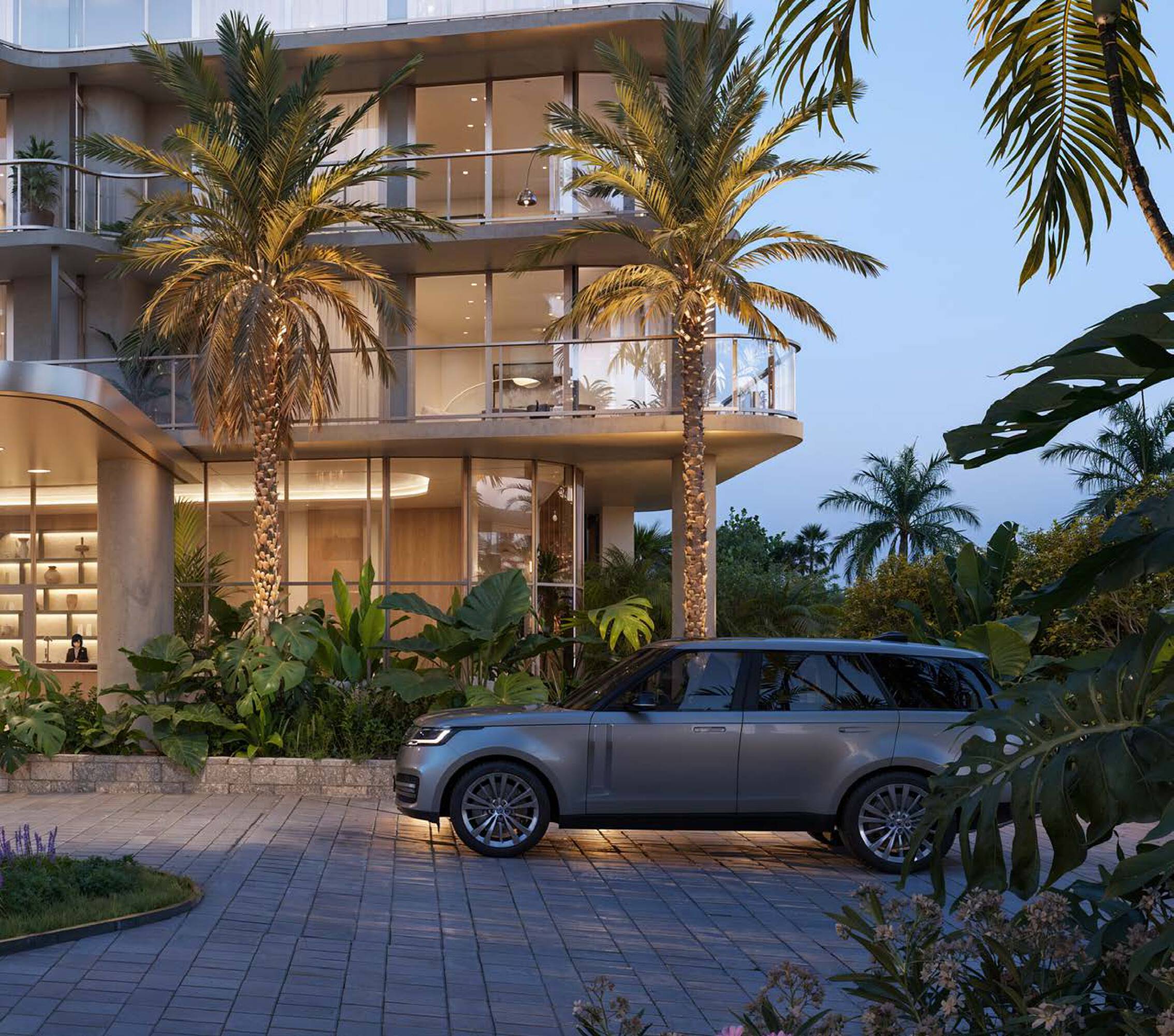
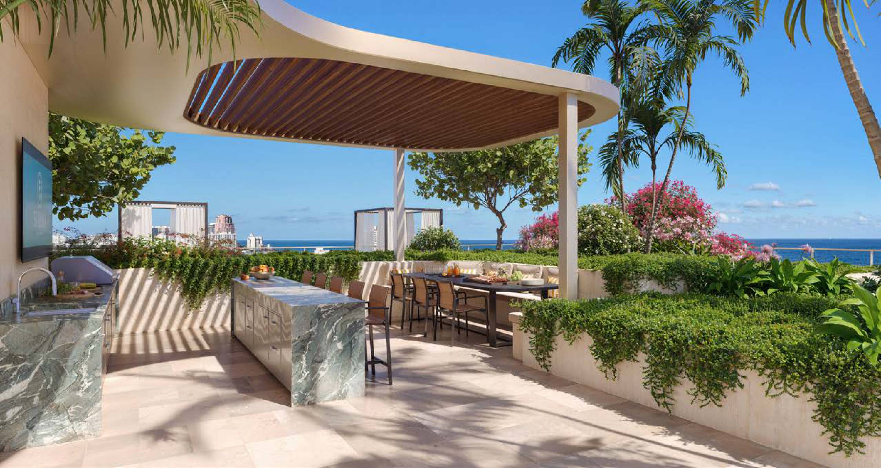
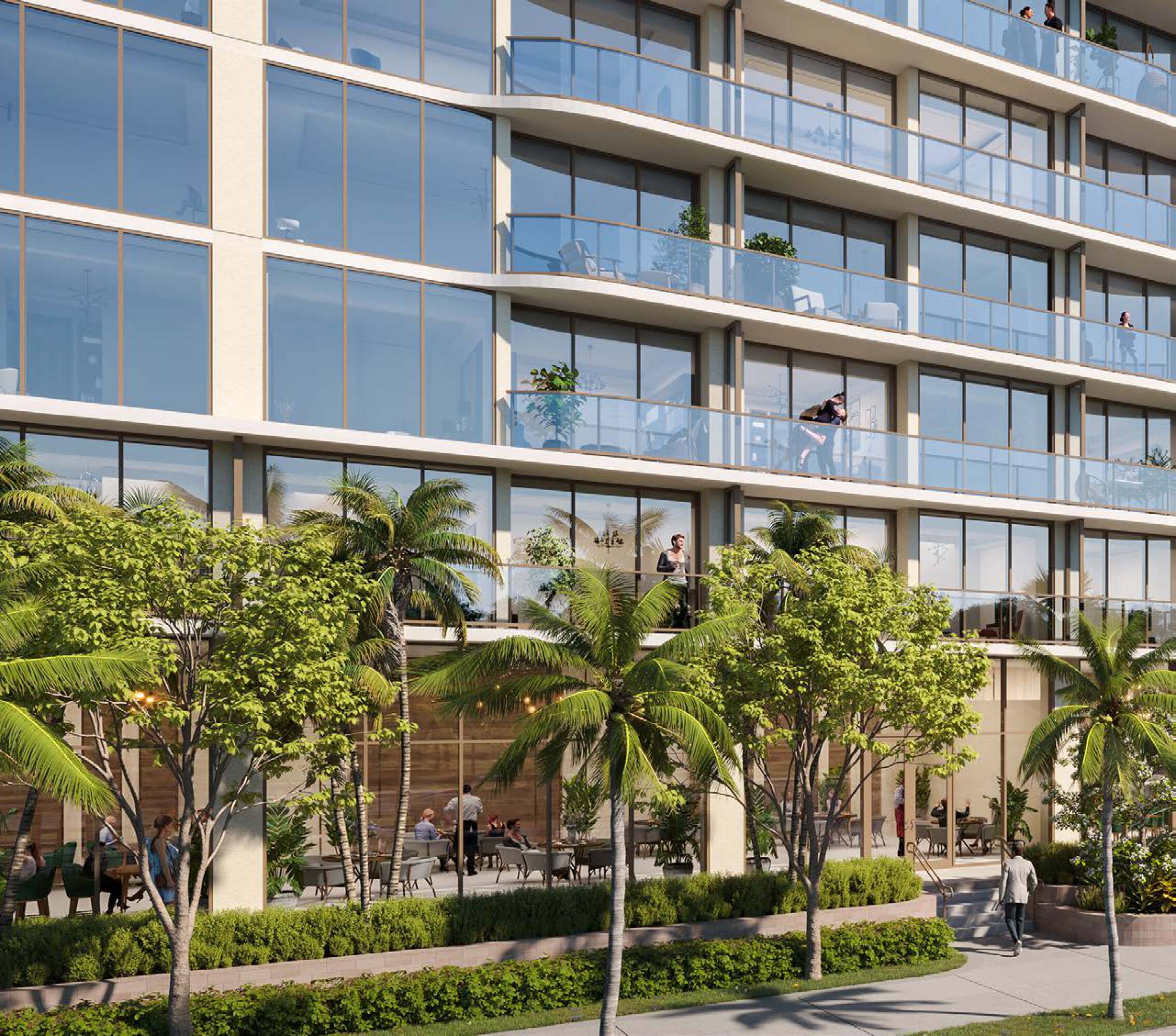
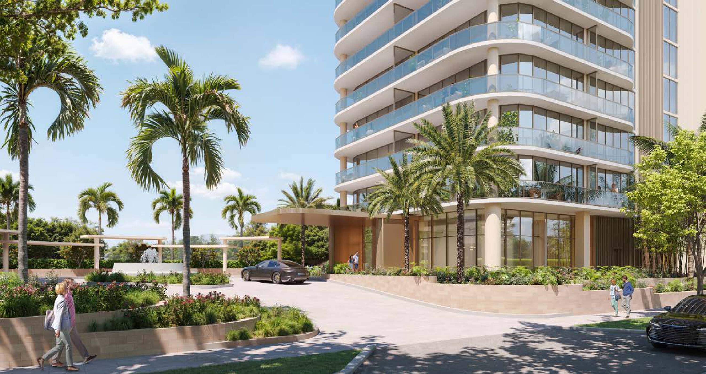
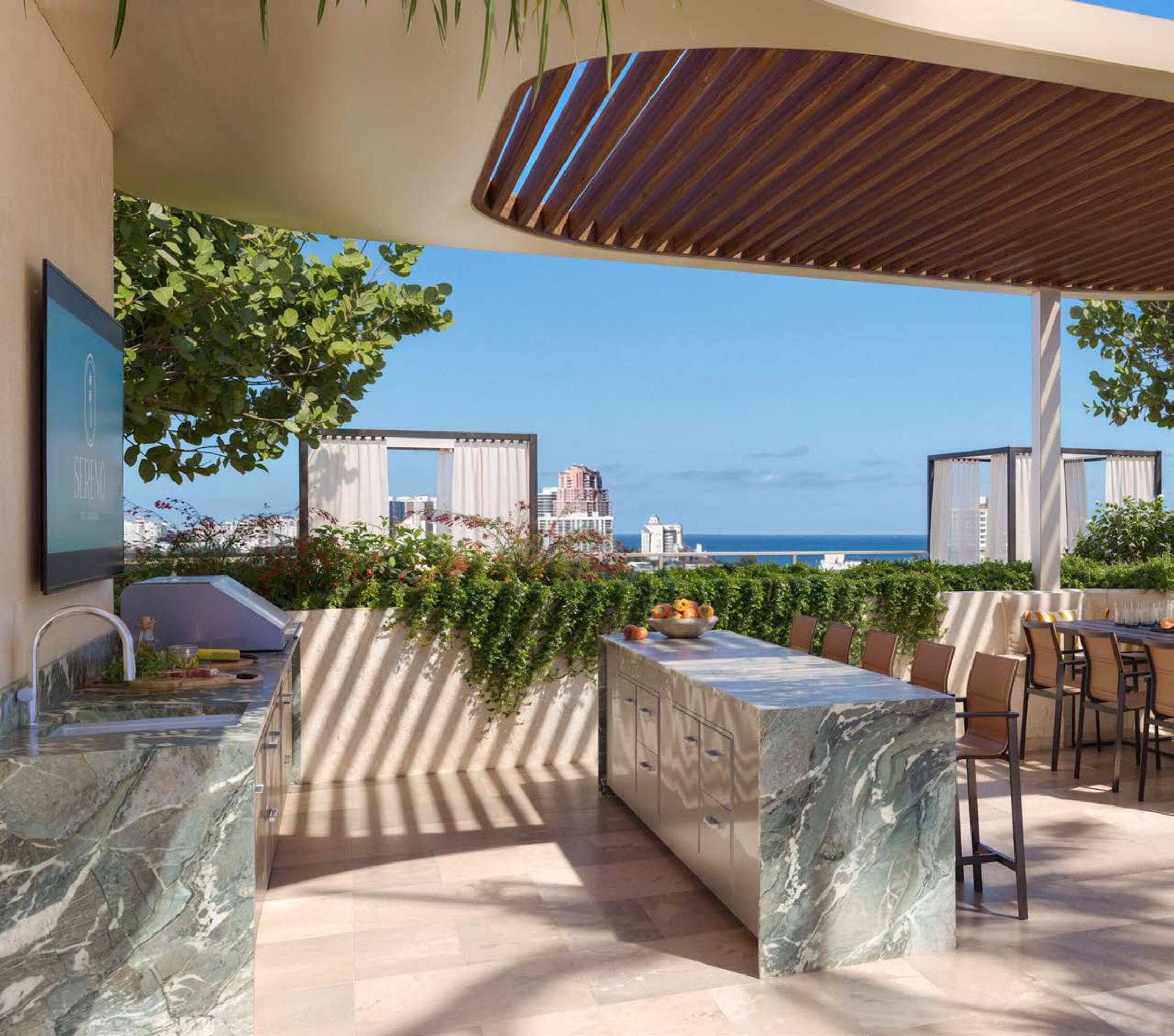
- Project options include an all‑residential boutique luxury condominium or a denser mixed‑use condohotel program
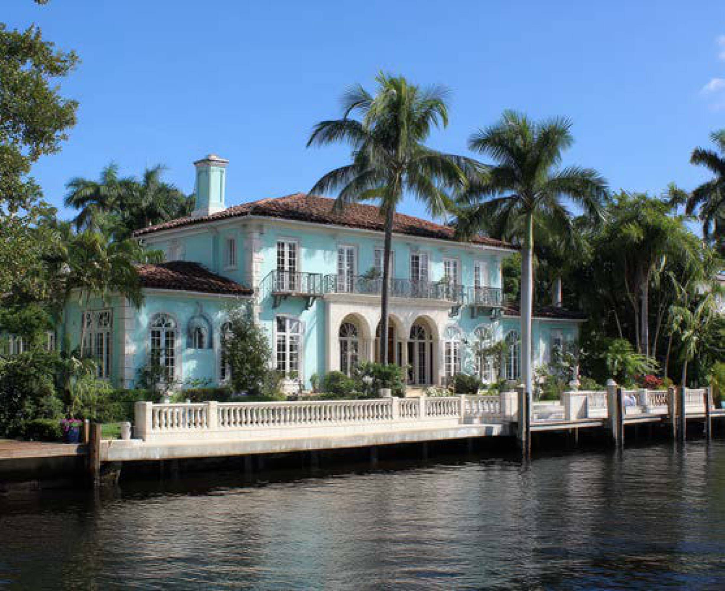
Overview
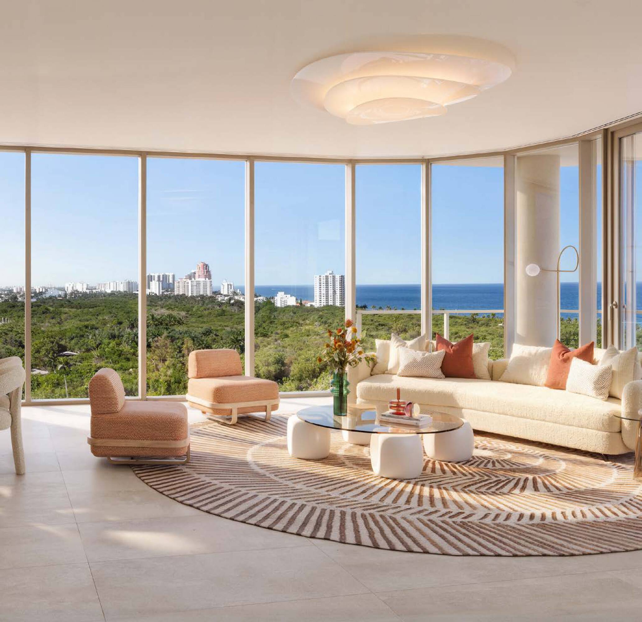
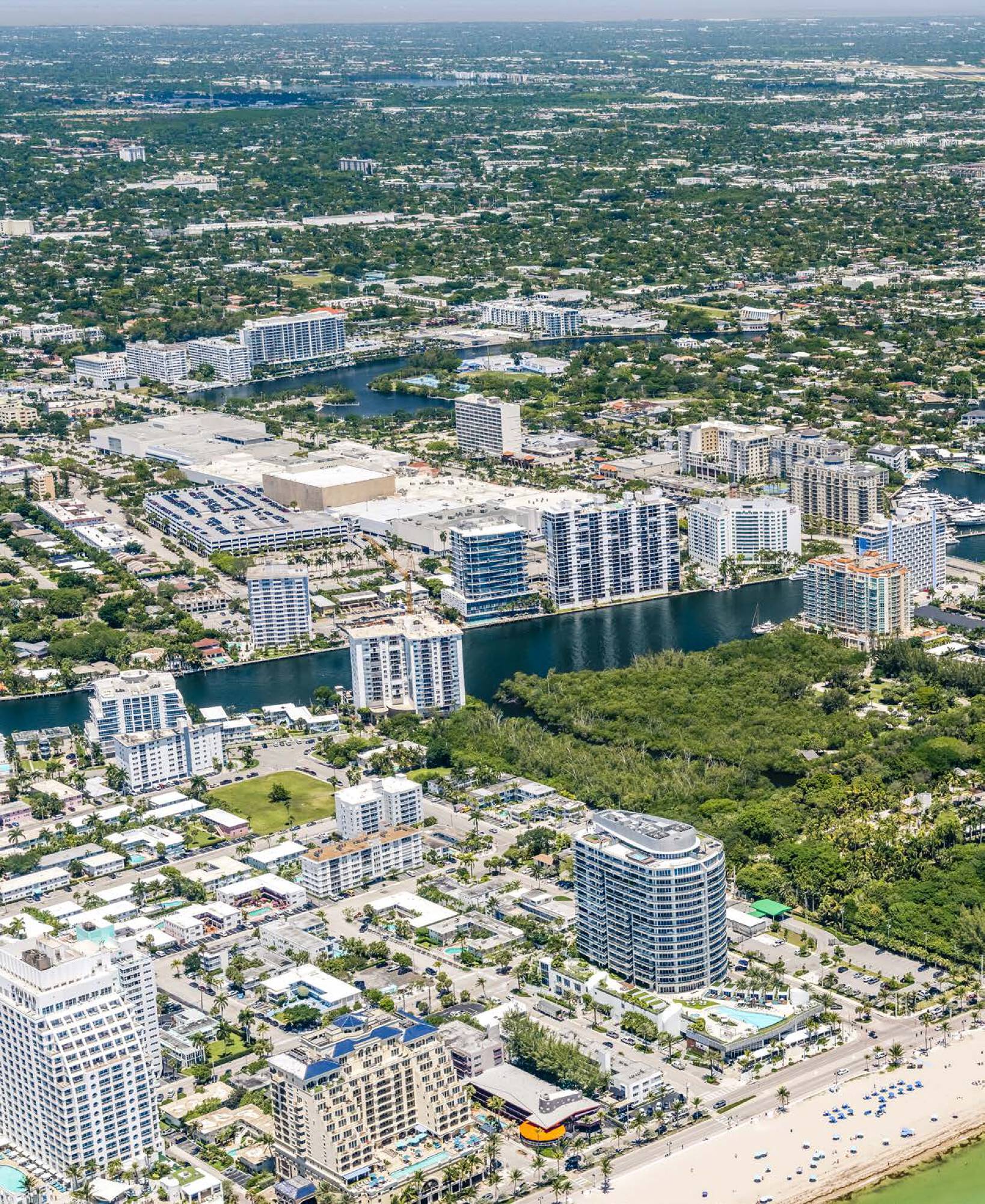
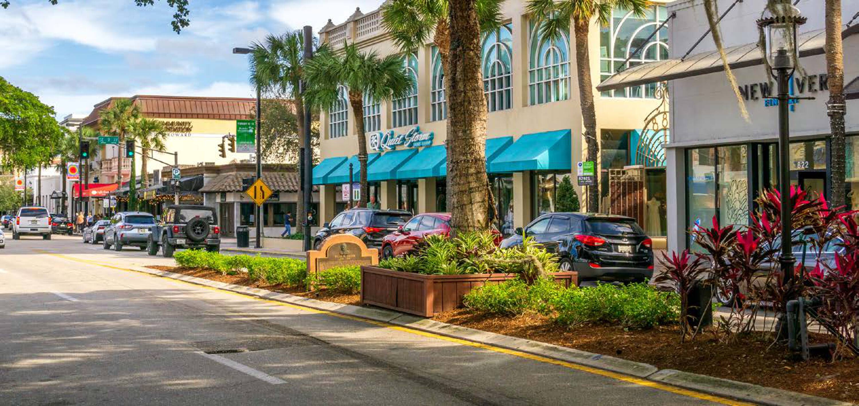
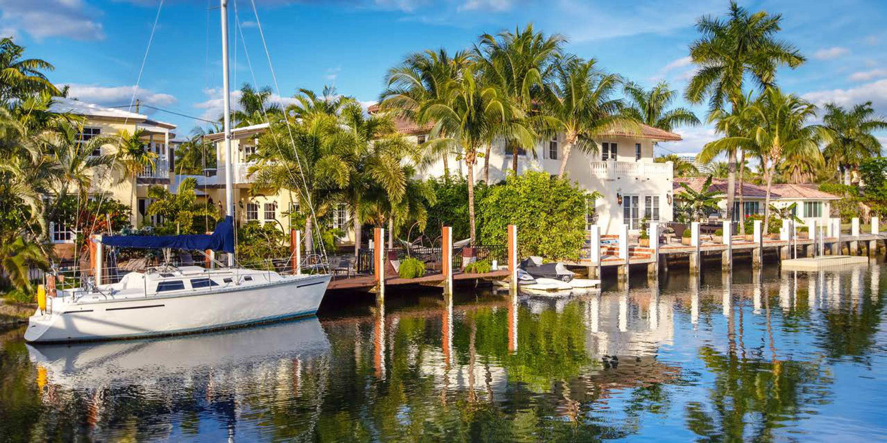
The site fronts approximately 550 feet along E Sunrise Boulevard, a two-way arterial described as carrying roughly 58,500 vehicles per day, with direct linkage to A1A two blocks east. The parcel sits a few hundred feet from the Atlantic Ocean and provides largely unobstructed sightlines toward the ocean, the Intracoastal Waterway, and the Hugh Taylor Birch State Park canopy. The 180-acre Hugh Taylor Birch State Park is noted to the immediate north, and the Bonnet House Museum & Gardens is noted immediately south.
For buyers and developers, the primary value here is the combination of beach-area proximity and entitlement progress, offering two approved development directions on the same site plan framework. The substantial arterial frontage supports visible street access in both directions, while nearby permanent open-space adjacencies are presented as helping protect sightlines on multiple sides. This is a straightforward infill option for teams seeking an advanced, concept-driven coastal development path on a single consolidated parcel.
Current Use by Public Records
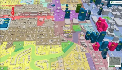
Location Insight
- Map
- Local Demand
- City
- Fort Lauderdale
- County
- Broward
- State
- Florida
- Longitude
- -80.1066849
- Latitude
- 26.1377374