Homesite with Wet Weather
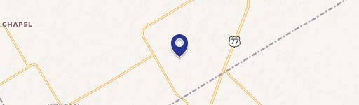
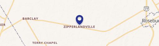
212 Cr 362 Rosebud, TX 76570


212 Cr 362, Rosebud, TX, 76570
$149,000
For Sale
$149,000
LAND - Rosebud, TX
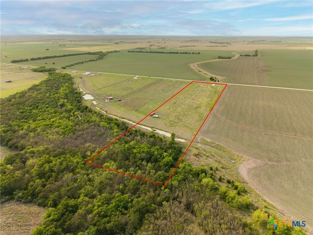
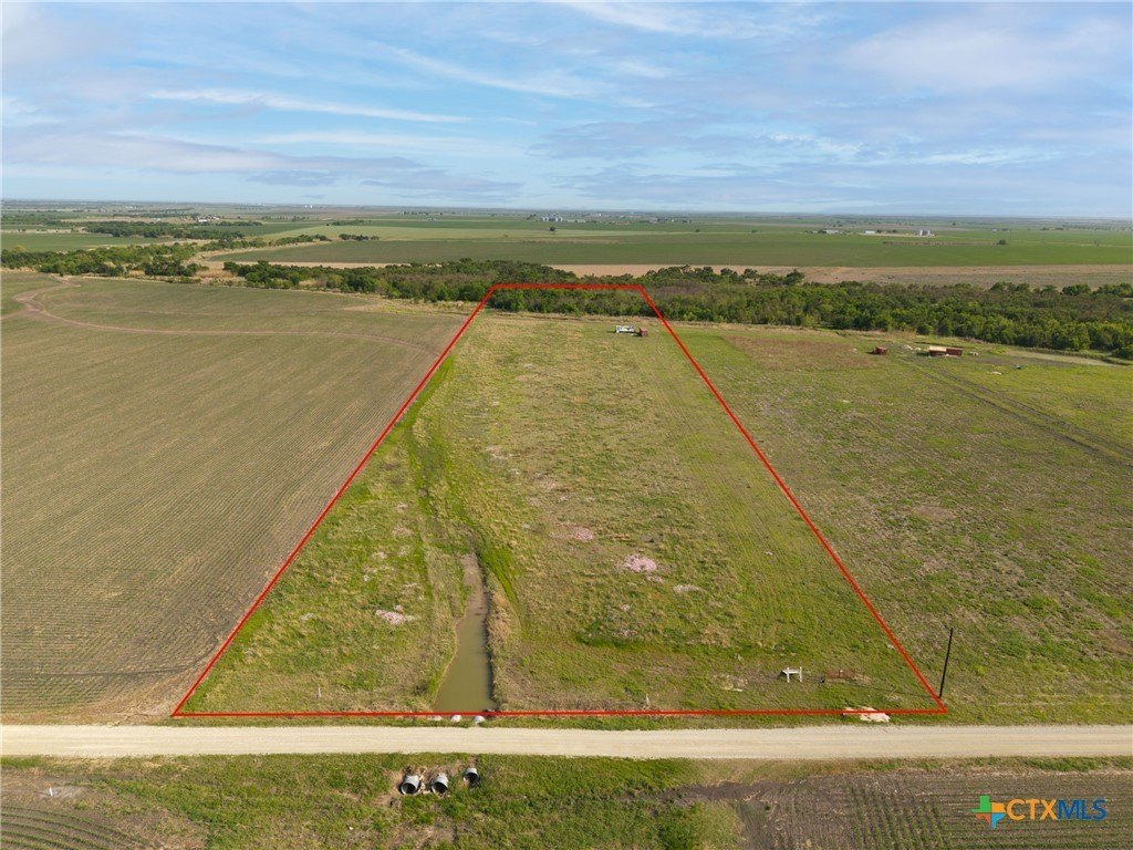
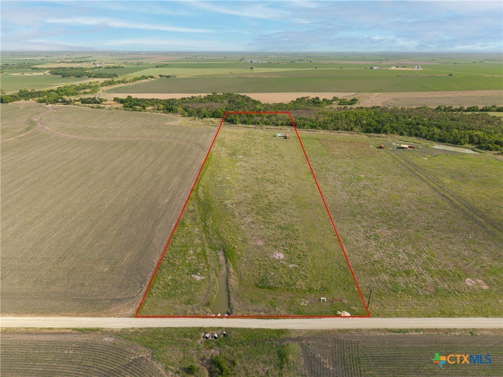
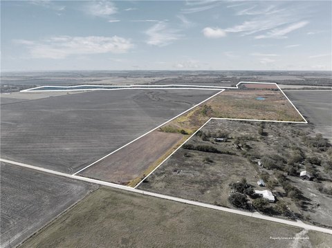
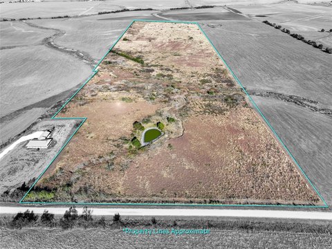
Lot Size10.01 Acres
Days on Market335
Property Features for 212 Cr 362
General Information
- Property type
- Land
- Property subtype
- Other
- Vegetation
- Wooded
- Fencing
- Gate
- Standard status
- Active
- APN
- 31524
- Lot size
- 10.01 Acres
Taxes and HOA fees
- Tax Year
- 2024
- Tax Description
- A0151 COCKRILL JNO R 10.01 ACRES
- Tax Annual Amount
- 3076
Utilities
- Sewer type
- Septic Needed
- Water front
- 1
Building Details
- Additional Structures
- Shed(s)
Listing agency
Magnolia Realty Temple Belton
(254) 213-6336
Listed by
Abigail O'Brien · License #0653674
(254) 654-3144
Added: Aug 21, 2025 Updated: Jun 4 at 11:39AM Checked: Jul 21 at 7:06PM
MLS# 590528
Copyright © 2026 Central Texas Multiple Listing Service. All rights reserved. All information provided by the listing agent/broker is deemed reliable but is not guaranteed and should be independently verified.
Investment Insights
Based on property information with market context.
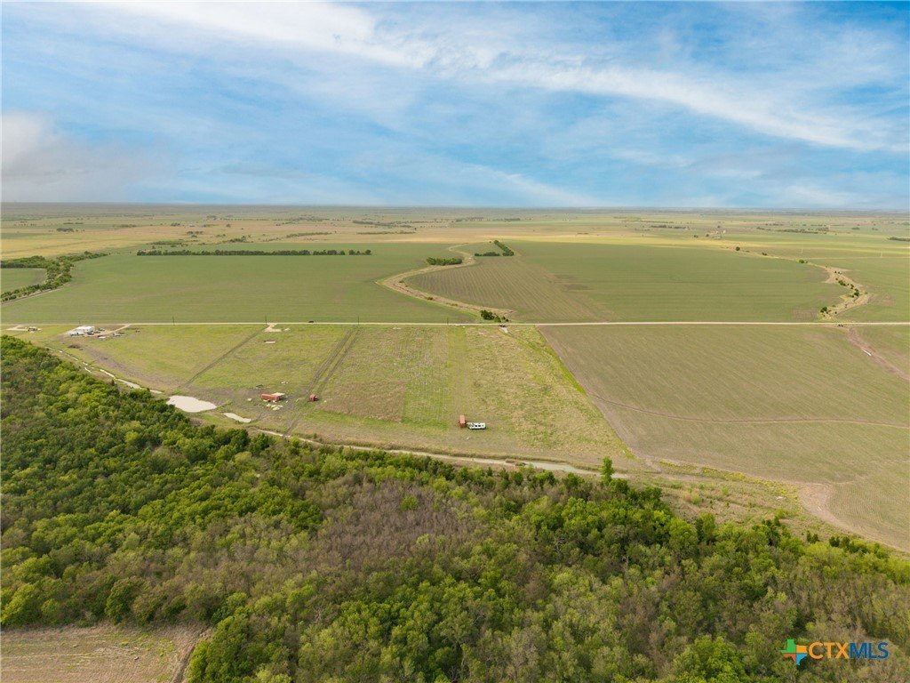
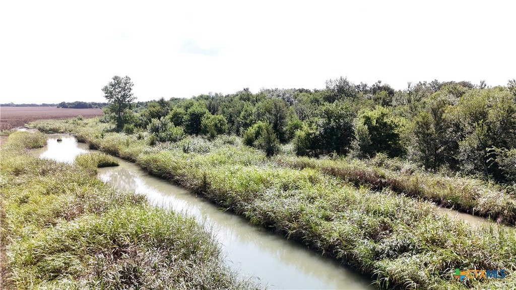
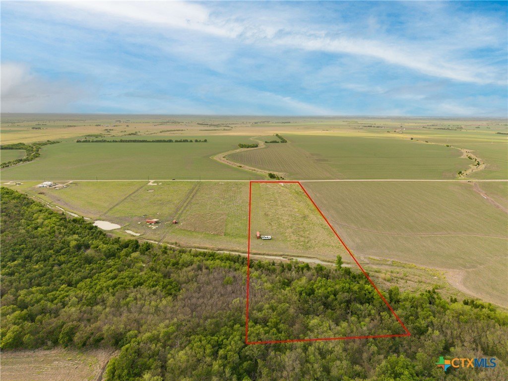
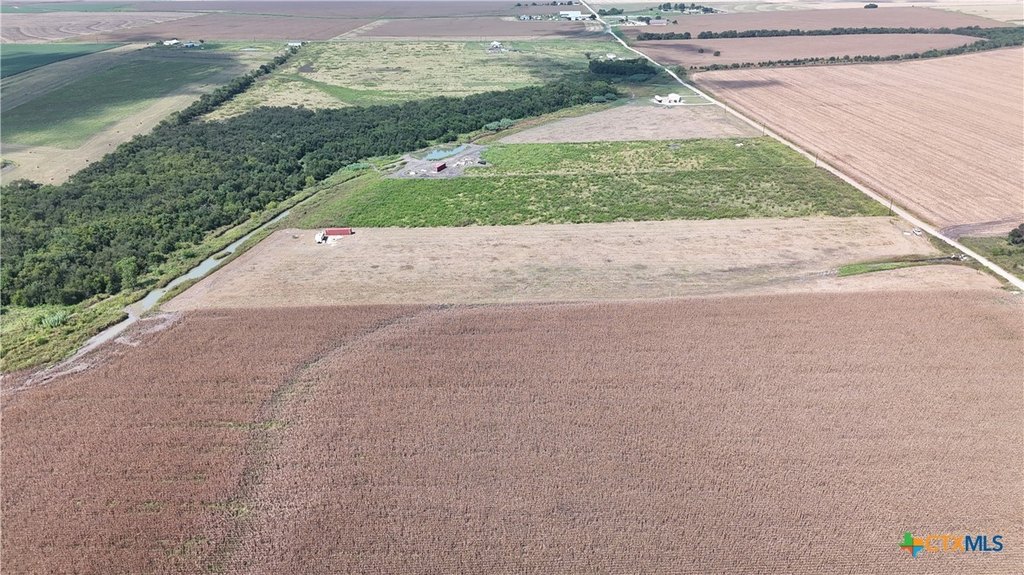
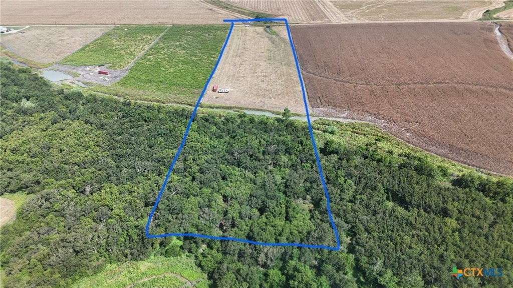
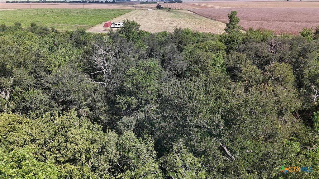
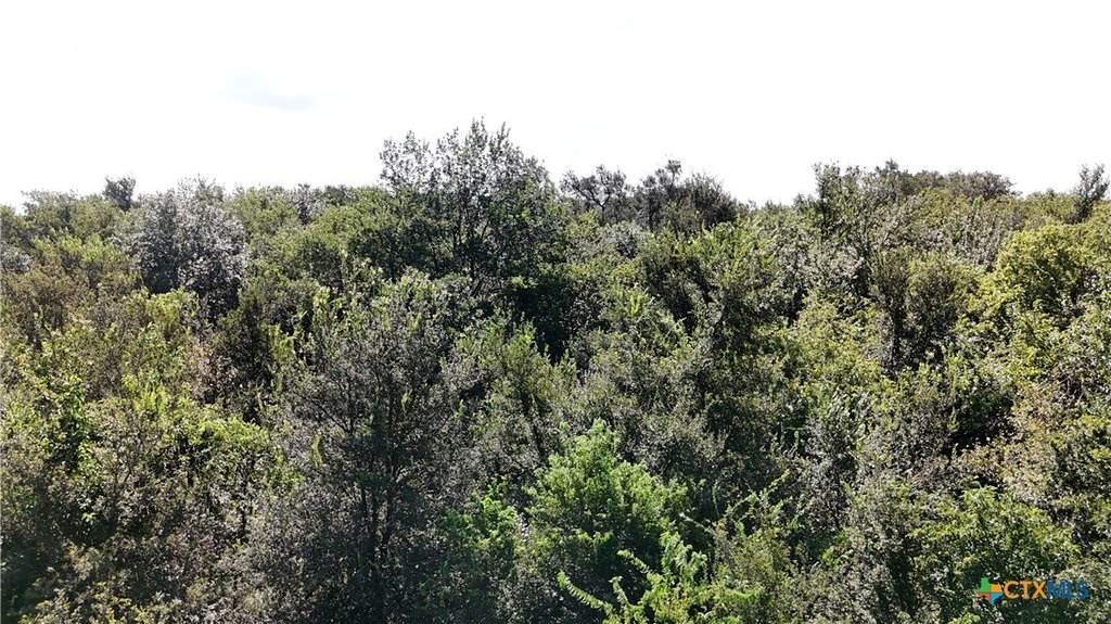
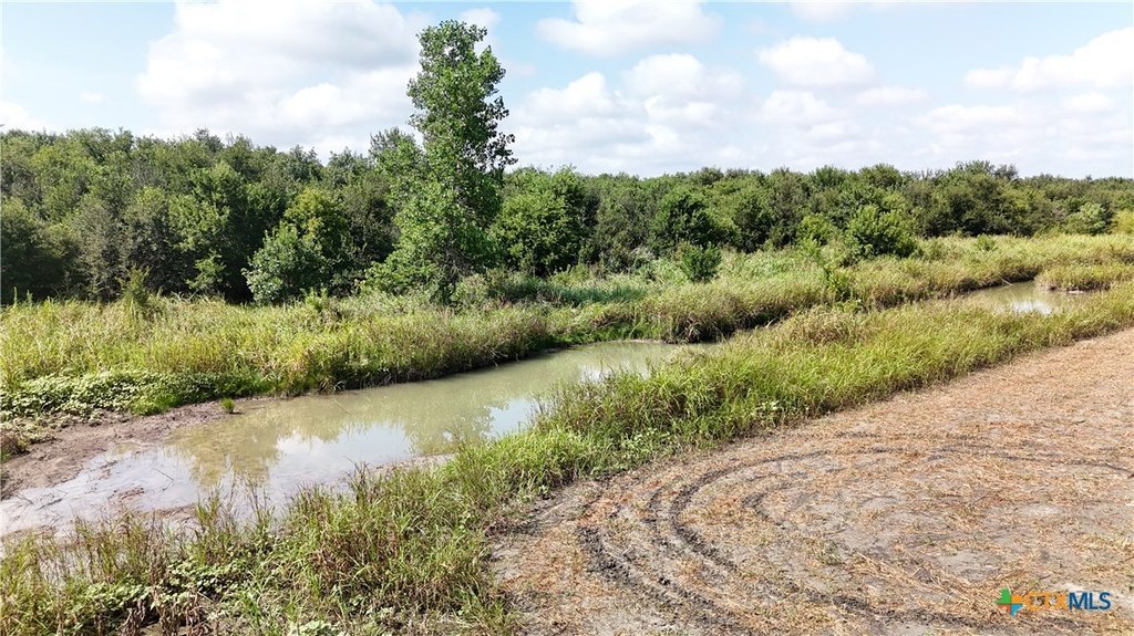
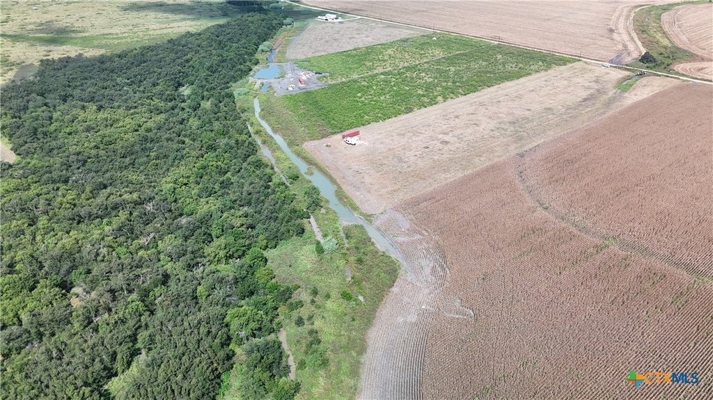
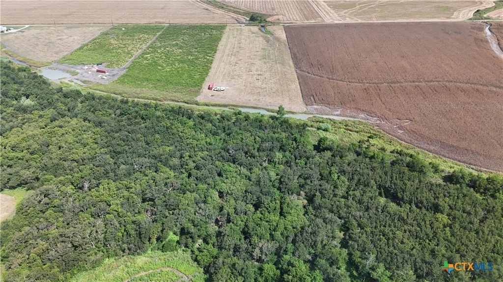
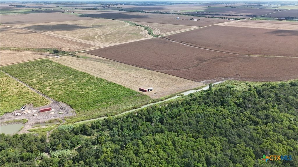
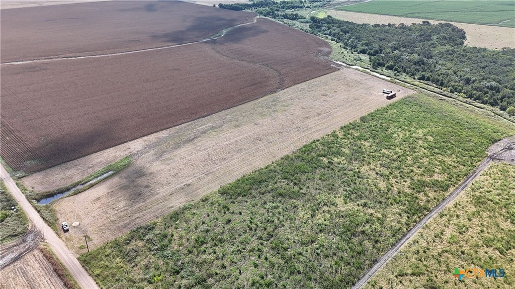
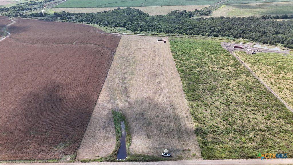
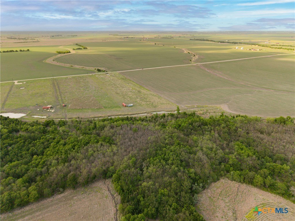
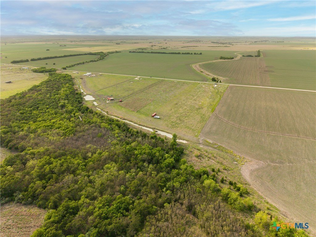
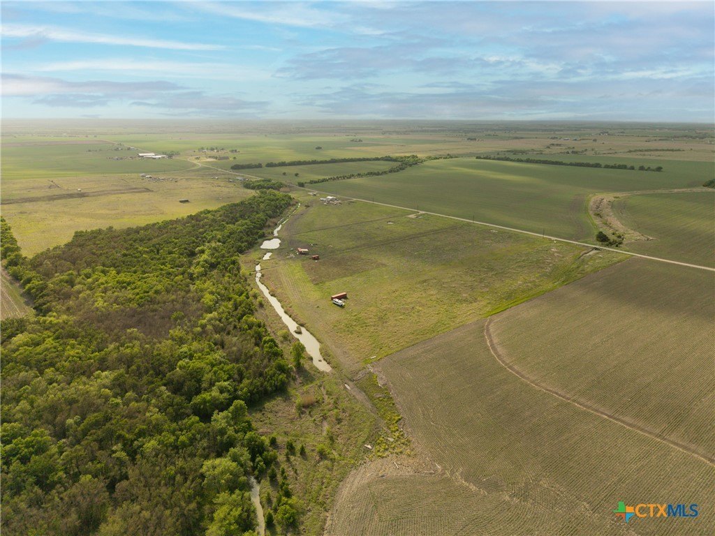
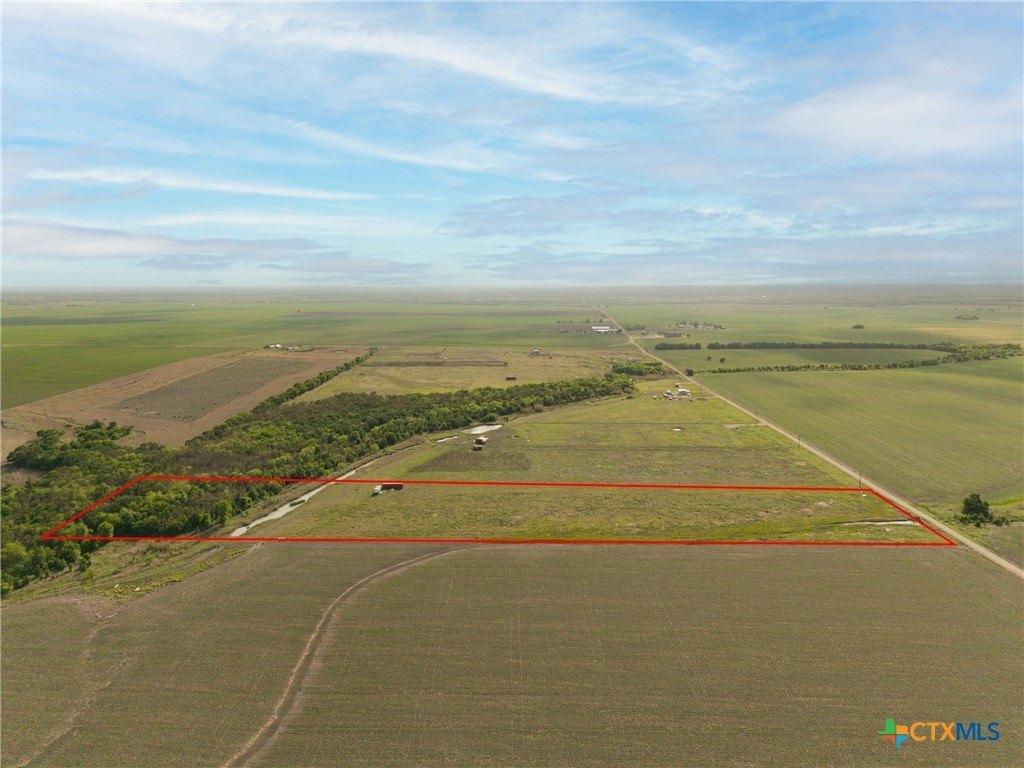
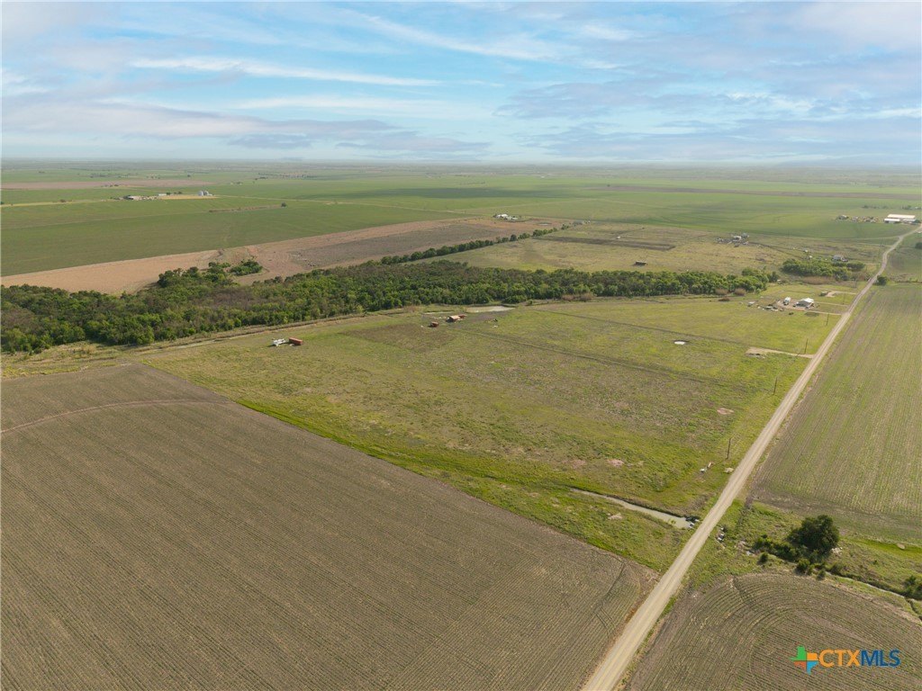
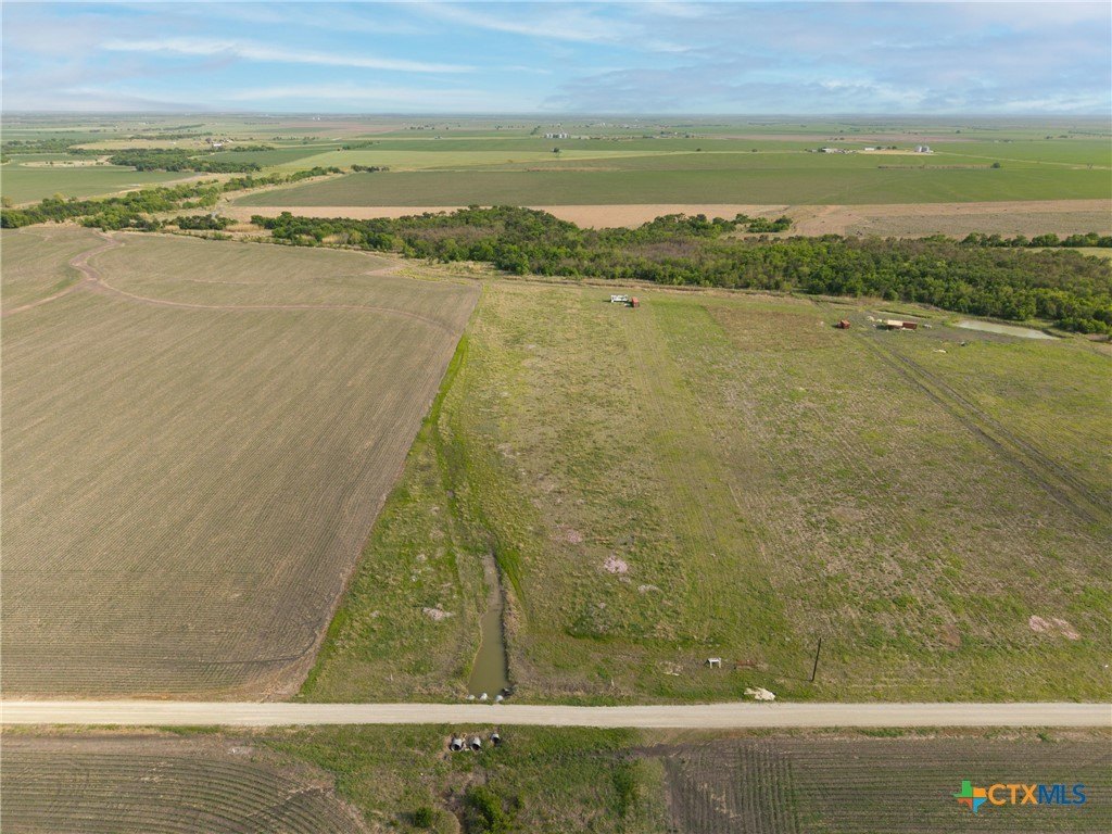
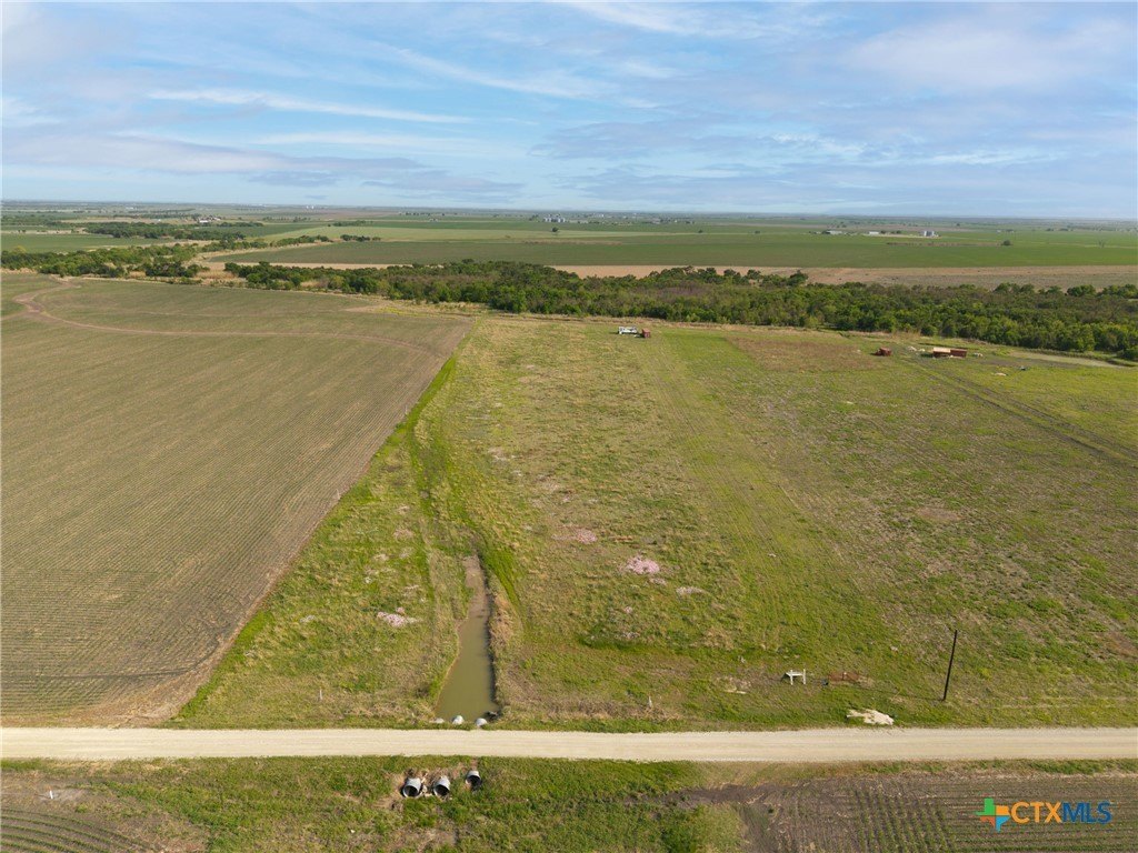
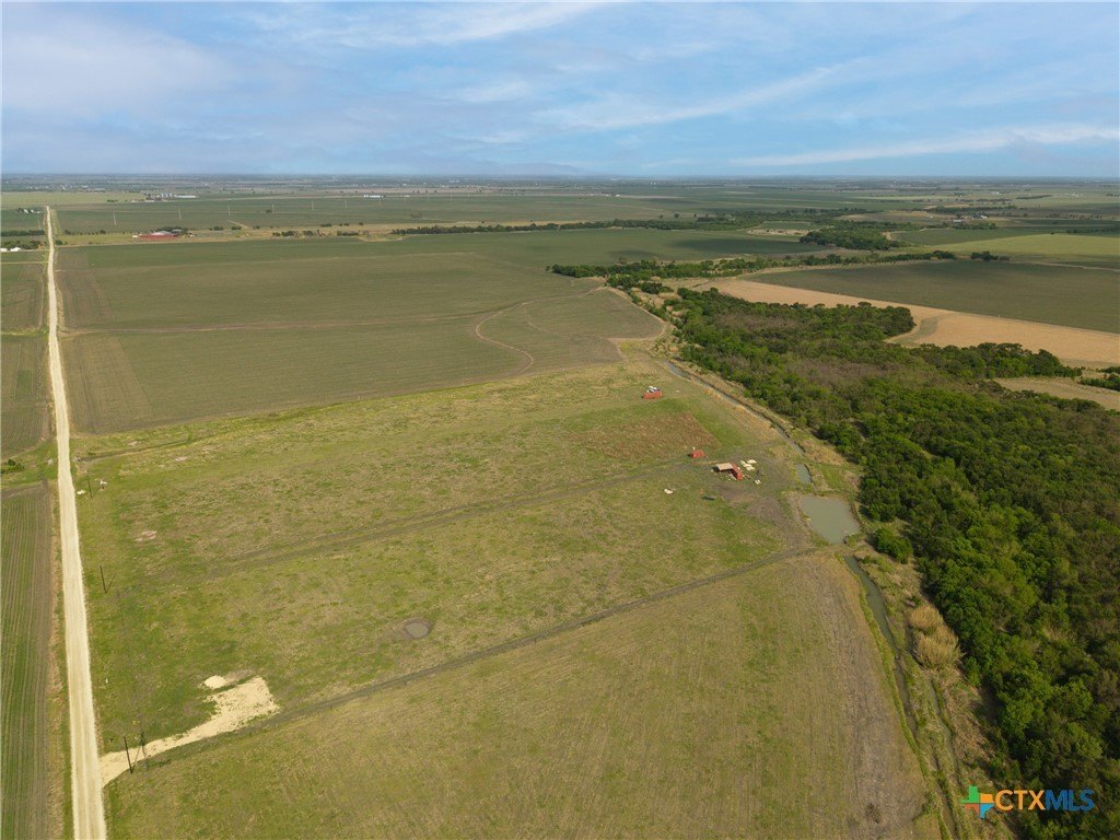
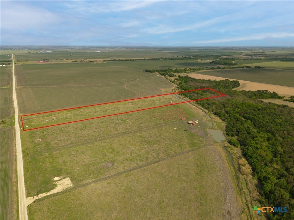
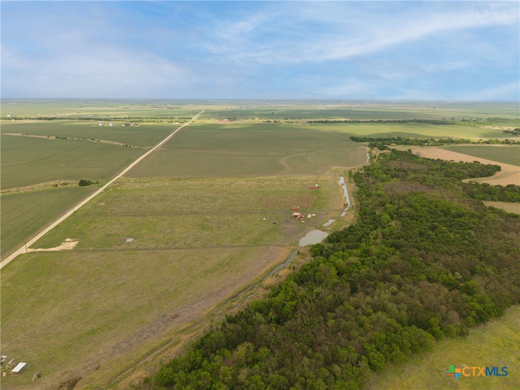
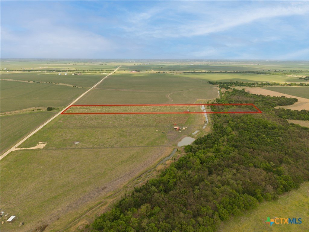
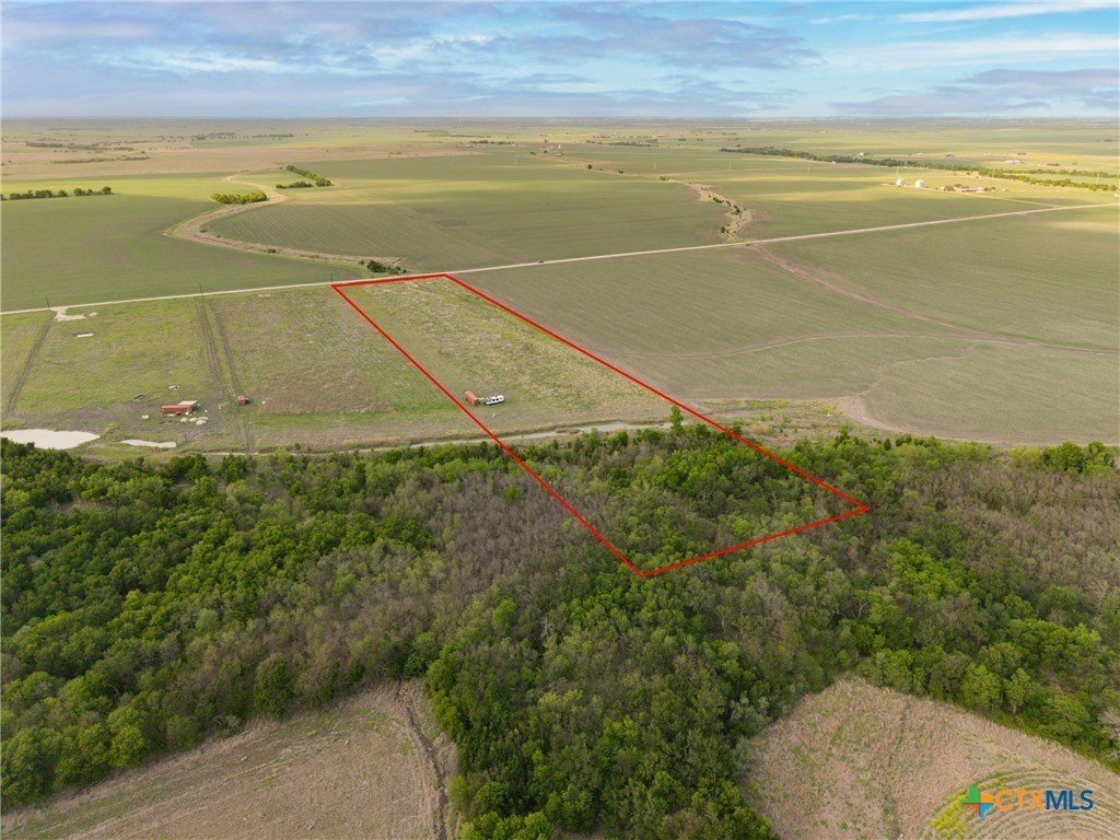
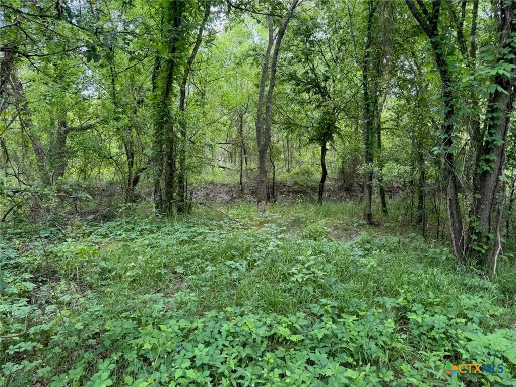
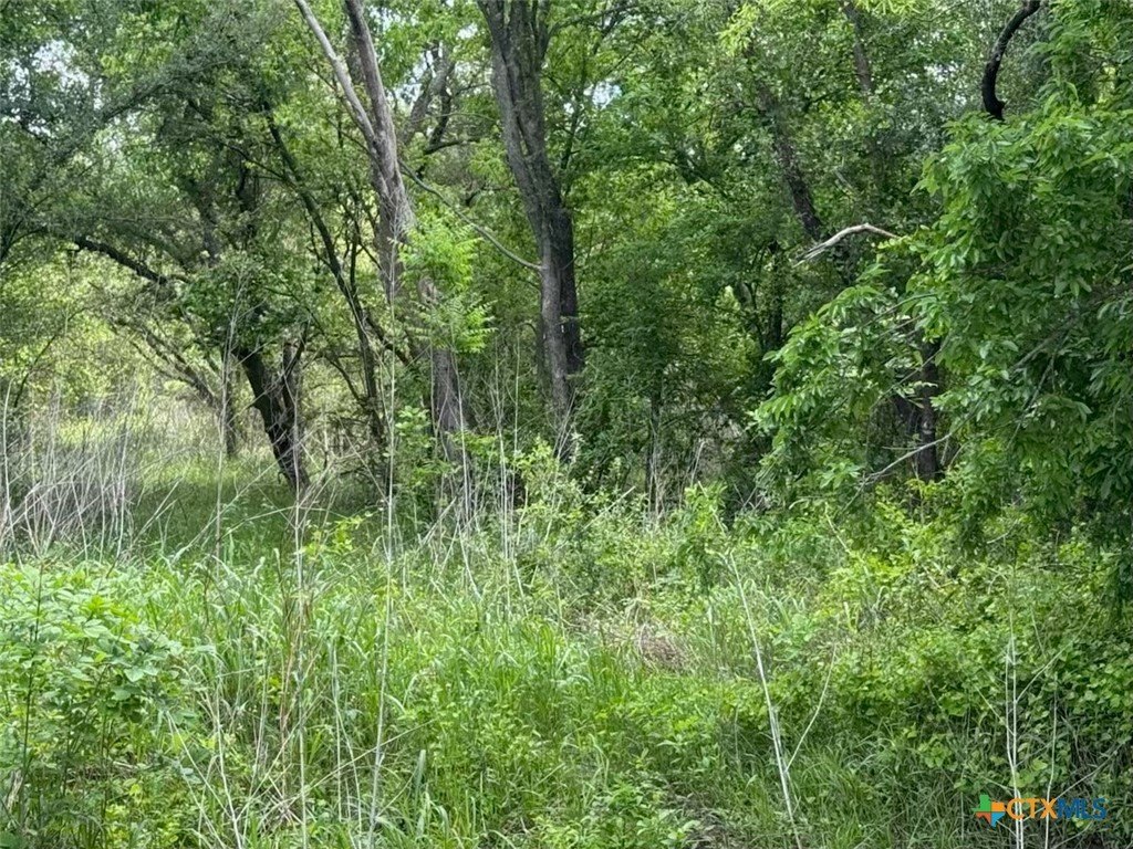
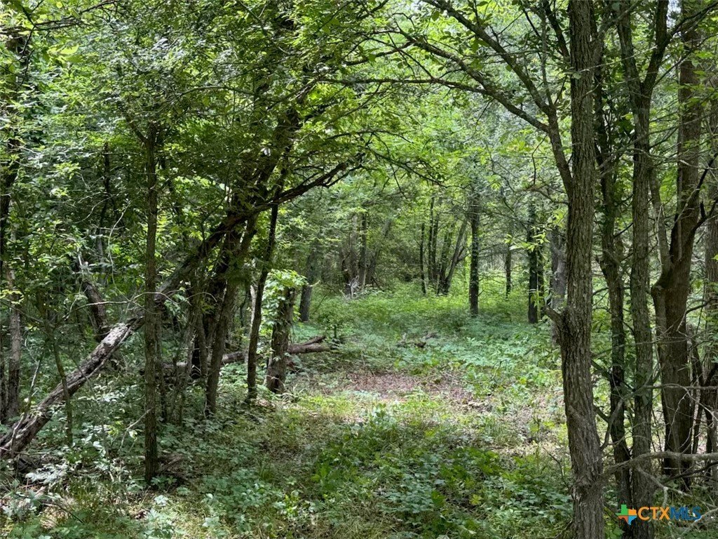
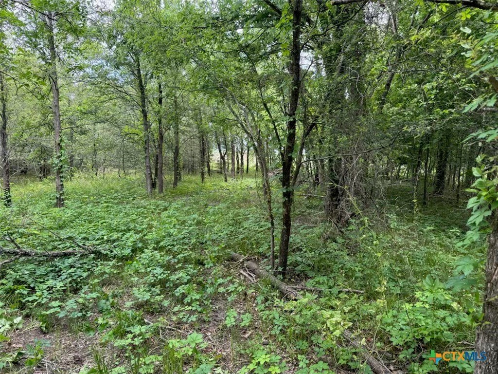
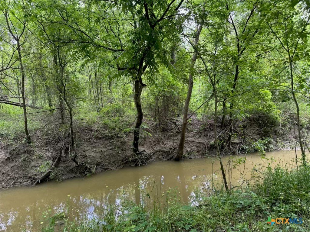
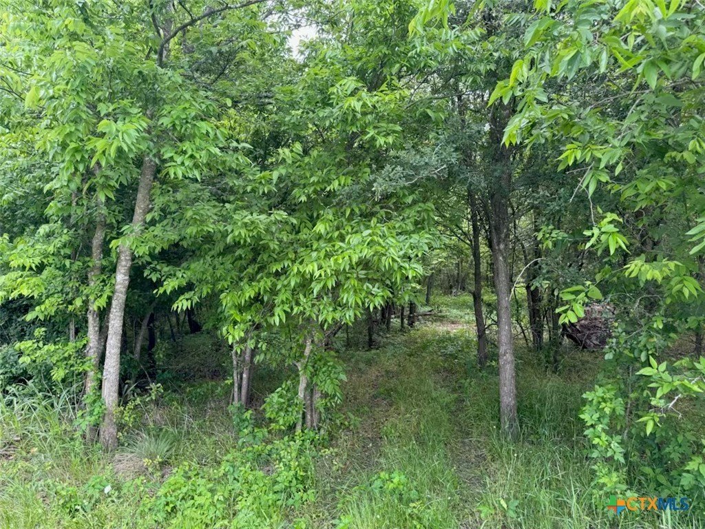
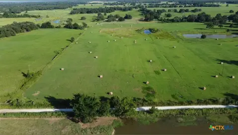
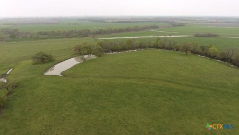
This 10.01-acre property in Rosebud, Texas offers a rural homesite configuration with very limited restrictions, and mobile homes are allowed. The land includes a wet weather creek, along with mature trees and wide open space, giving the site a mix of natural features and usable acreage. The property is currently used for recreation and is described as offering wildlife and outdoor enjoyment.
Located in Falls County, the property is identified at 212 Cr 362, Rosebud, TX 76570. Buyers should note that the presence of a wet weather creek may affect where improvements and structures are most practical, while the mature tree areas and open portions provide options for planning.
With mobile homes permitted and restrictions described as limited, this site can fit buyers looking for a straightforward place to build or place a home in a recreational setting. For anyone considering a rural homesite or recreation-focused land use, the combination of open space, mature trees, and creek features supports a range of lifestyle and activity goals. Please review the “very limited restrictions” details directly with the listing information to confirm how they apply to your intended plans.
Key Highlights
- 10.01 acres of land provides ample space.
- Very limited restrictions offer flexibility.
- Mobile homes allowed, expanding housing options.
Property Analytics
Property Profile
Location Intelligence
Current Use by Public Records
Residential land & home ...
Similar For Sale Nearby


FAQs
What type of property is this?
Residential land & home lot - A 10.01-acre Rosebud homesite with limited restrictions and mobile home allowance for flexible rural living or recreation.
Where is this residential land & home lot located?
The property is located at 212 Cr 362 Rosebud, TX.
What is the asking price?
The asking price for this property is $149,000.
What are key features of this property?
This property features: 10.01 acres of land provides ample space.; Very limited restrictions offer flexibility.; Mobile homes allowed, expanding housing options.


