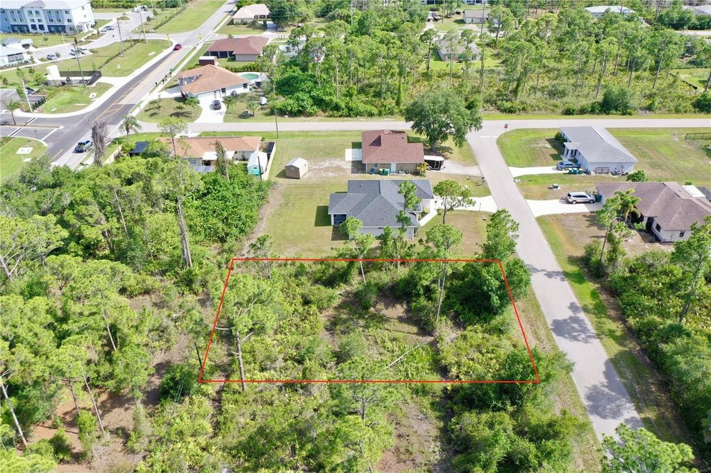
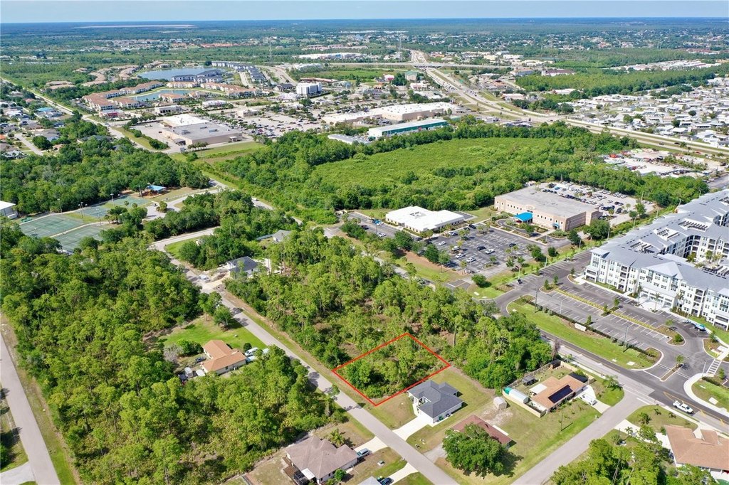
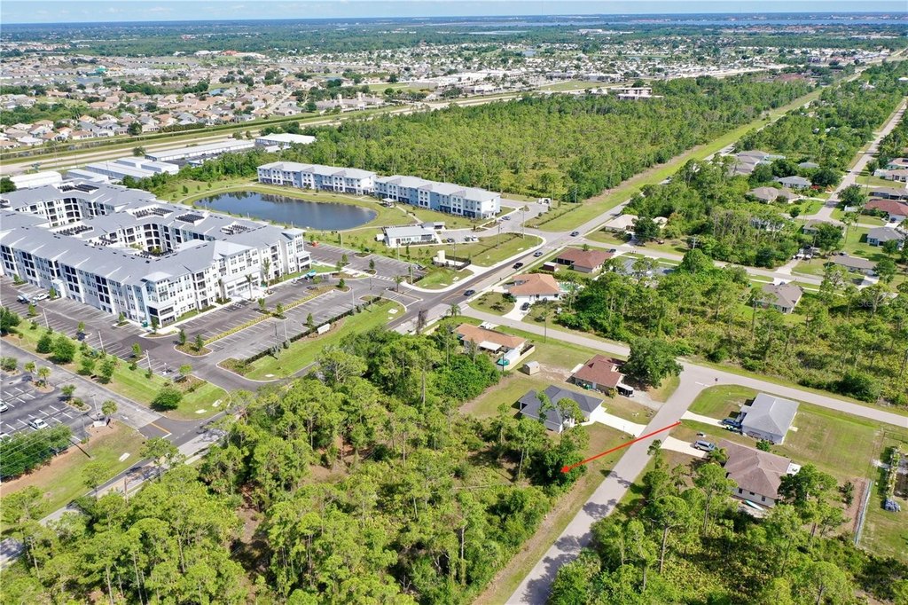
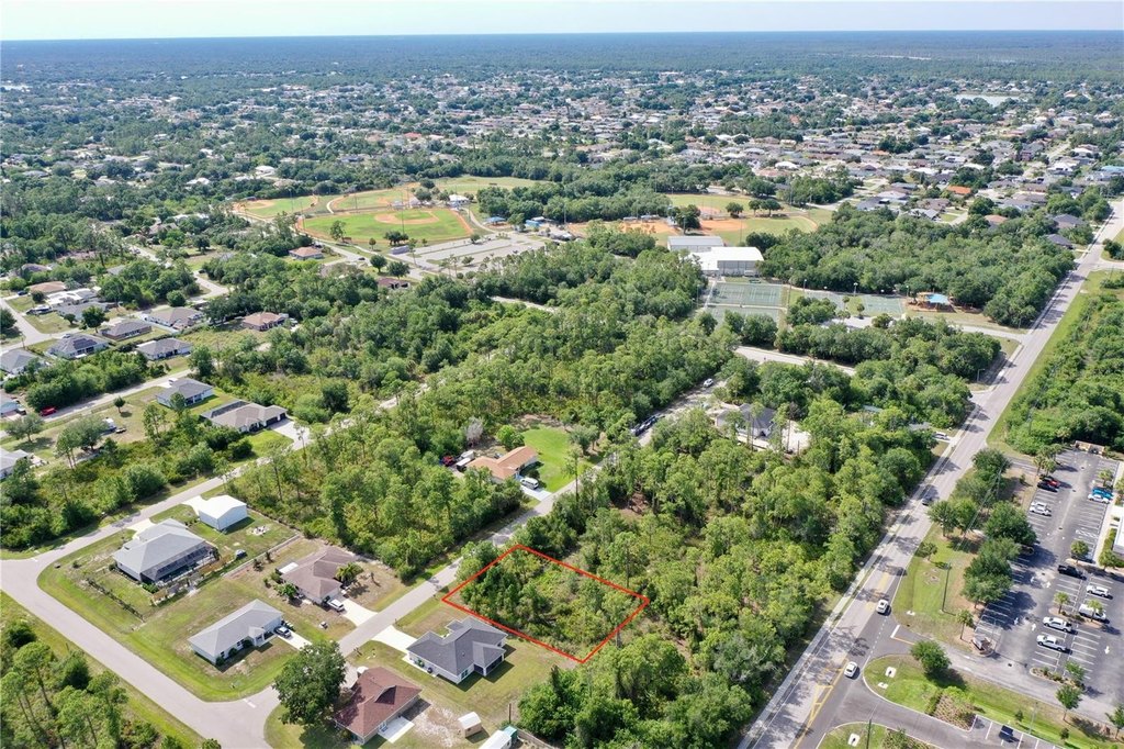
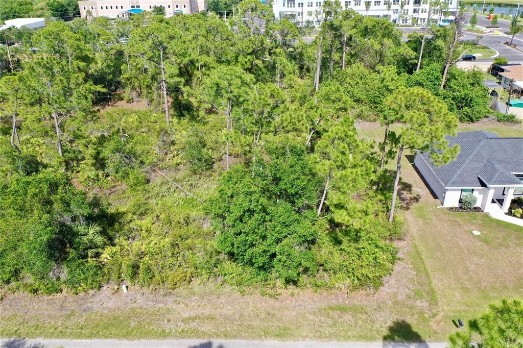
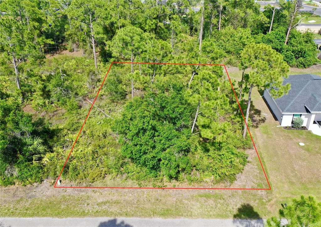
Buildable Residential Lot with Road
1214 BLALOCK Street Port Charlotte, FL 33980
For Sale
Contact for pricing
LAND - PORT CHARLOTTE, FL
Lot Size0.22 Acres
Days on Market53
Property Features for 1214 BLALOCK Street
General Information
Property type
Land
Property subtype
Other
Zoning
RSF3.5
Pets allowed
Yes
Standard status
Active
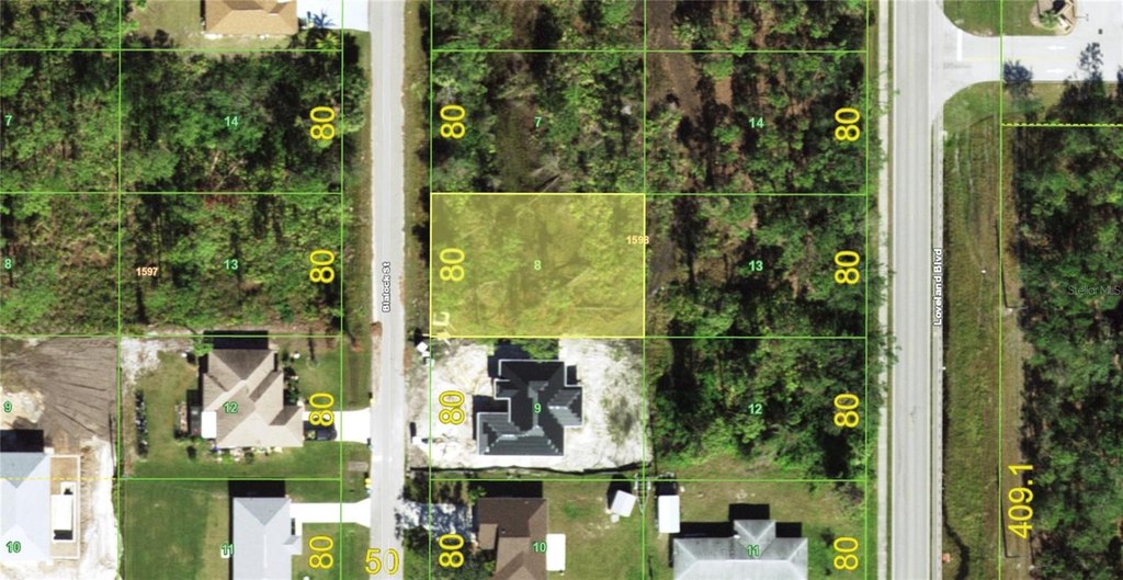
APN
402212279008
Lot size
0.22 Acres
Taxes and HOA fees
Tax Year
2025
Tax Description
PCH 012 1598 0008 PORT CHARLOTTE SEC12 BLK1598 LT 8 225/644 632/1716 967/822 1023/1442 1091/383 TD1638/543 1950/665 TD3526/1883 3842/1861 3842/1993 3920/495 4107/123 4133/996
Tax Annual Amount
457
Utilities
Utilities
Cable Available
Sewer type
Public Sewer
Water source
Public
Listing Agency:
FIVE STAR REALTY OF CHARLOTTE
(941) 637-6116
Listed By:
Bob Helphenstine · License #3295038
(941) 661-4842
Added: Jun 8
Changed: Jul 22
Last Checked: Jul 30 at 1:06AM
MLS# C7526920
Copyright © 2026 Stellar MLS. All rights reserved. All information provided by the listing agent/broker is deemed reliable but is not guaranteed and should be independently verified.
Investment Insights
Based on property information with market context.
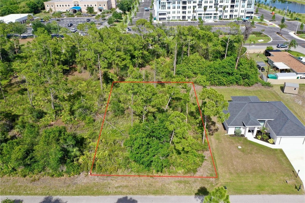
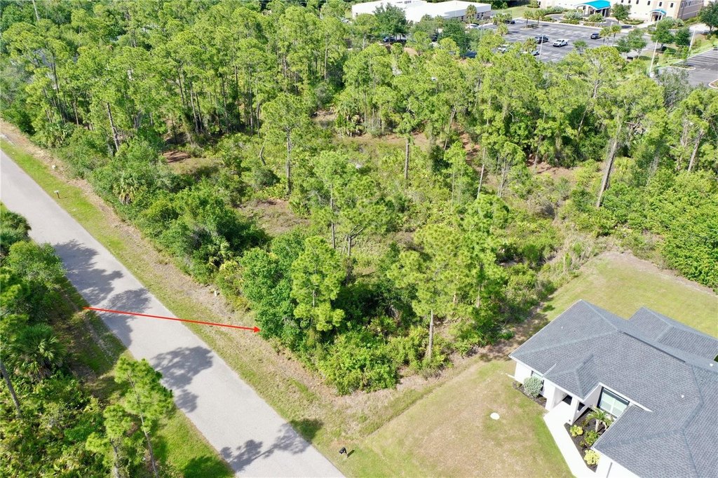
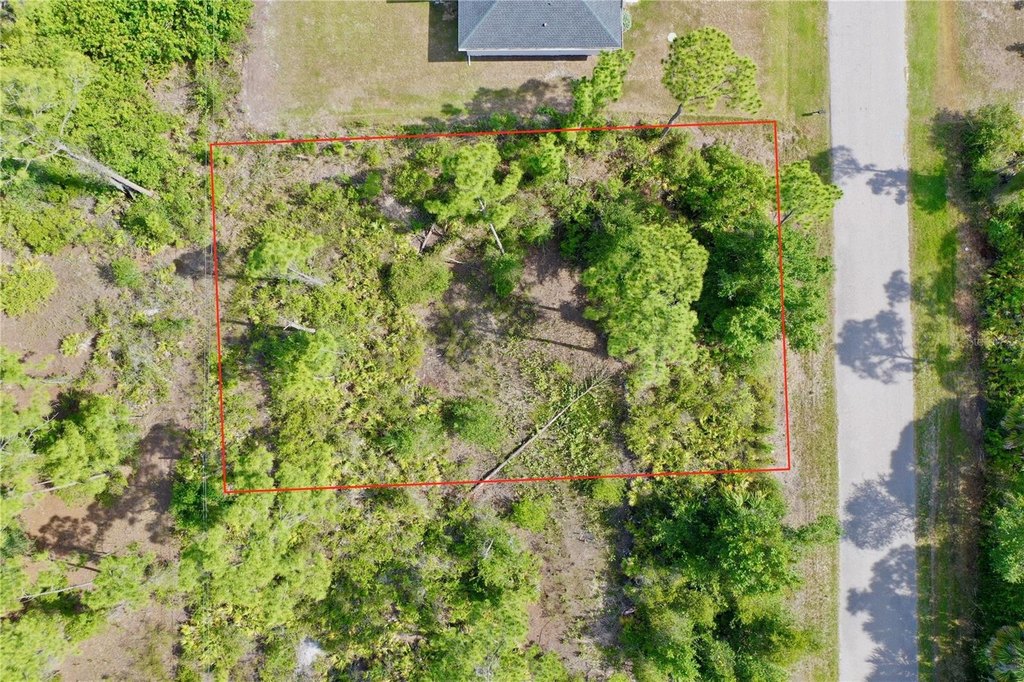
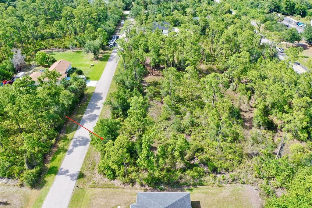
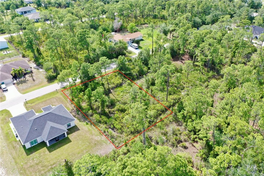
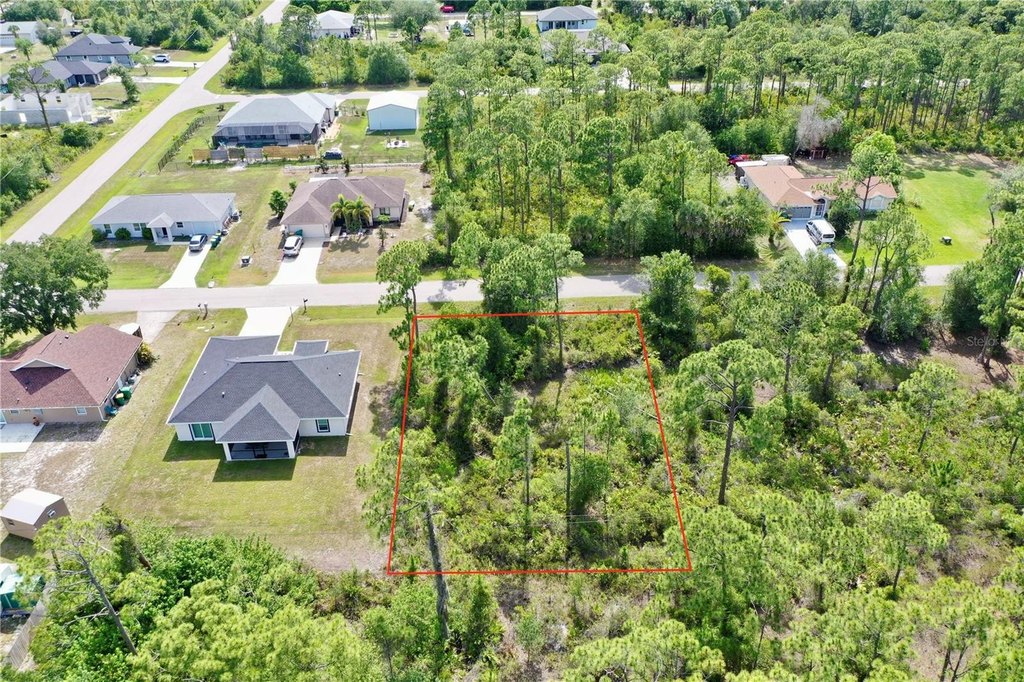
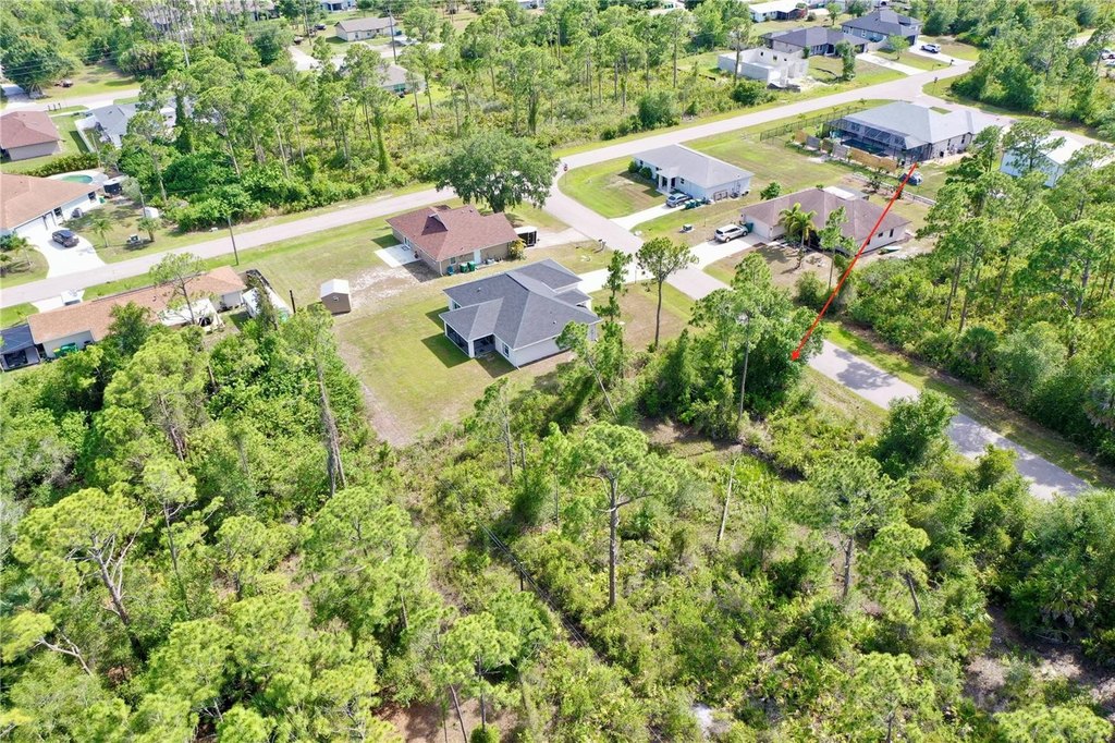
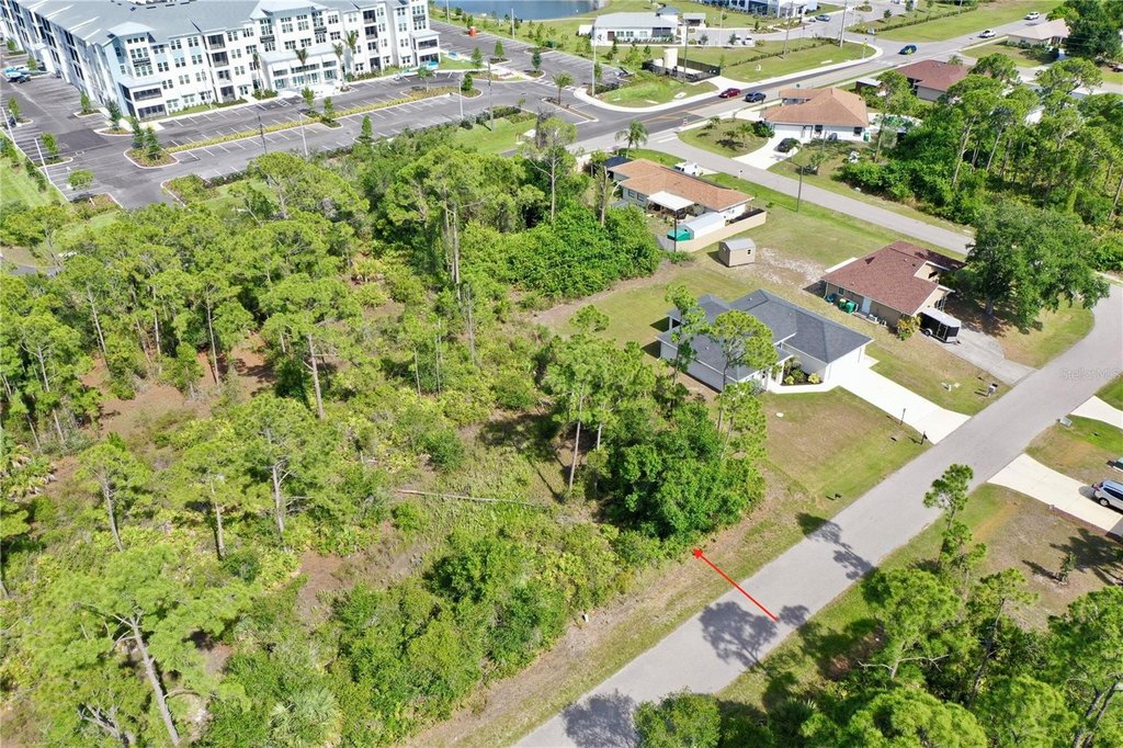
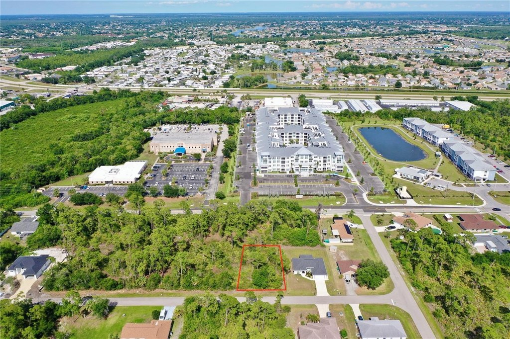
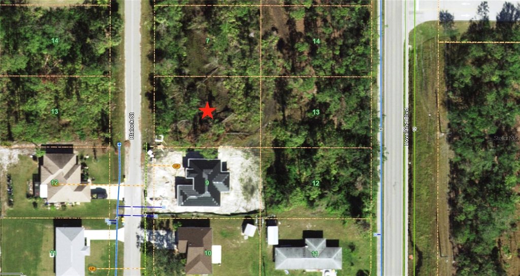
A buildable residential lot at 1214 Blalock Street in Port Charlotte, offered as a 80 by 120-foot parcel with approximately 9,600 square feet of land and 80 feet of road frontage. The property is described as being in an “X” flood zone, and public utilities are noted as available at the property line, with electricity readily available.
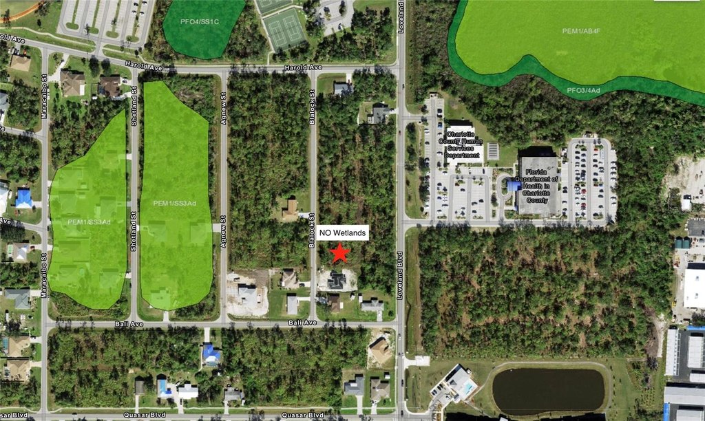
Charlotte County GIS maps are cited as showing the lot is free from Scrub Jay zones, and the National Wetlands Inventory is cited as showing zero wetlands on site. The listing presents this as supporting a more streamlined permitting path.
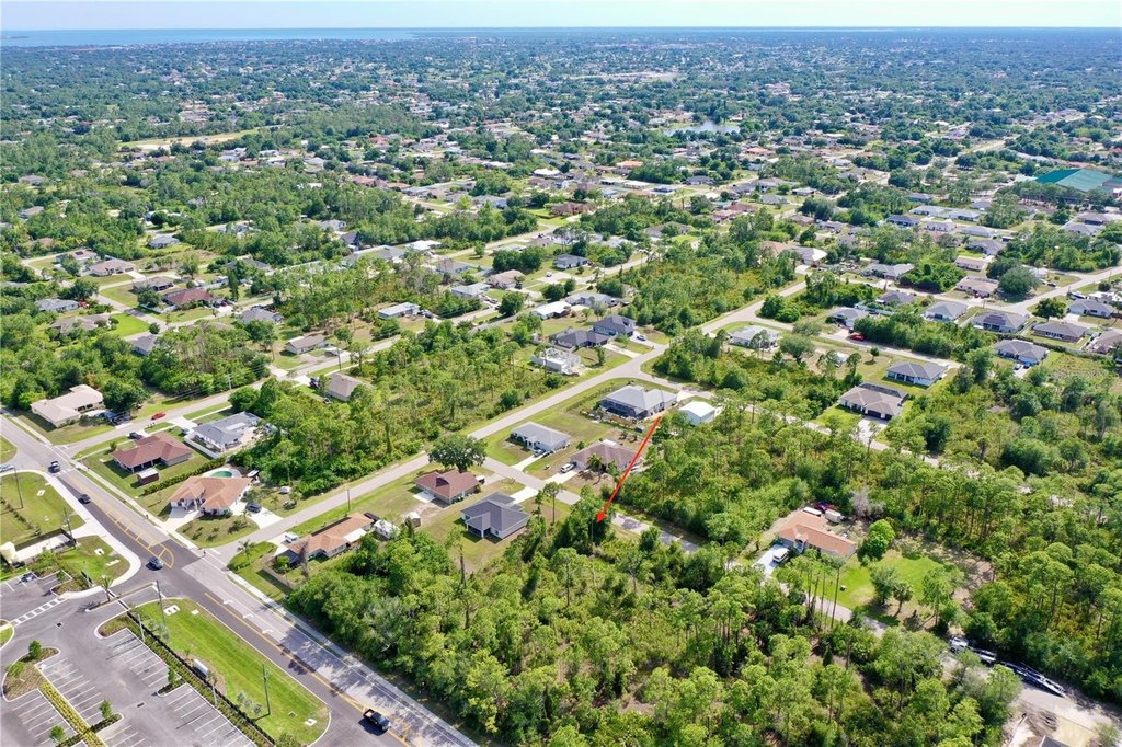
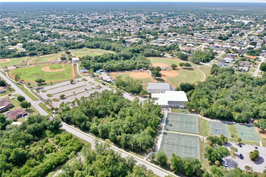
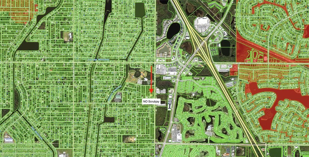
Zoned RSF3.5, the lot is positioned near Harold Avenue Regional Park and within minutes of Interstate 75 for trips both north toward Sarasota and south toward Fort Myers. Nearby are shopping and dining options, including a Publix supermarket described as located around the corner.
Charlotte County GIS maps are cited as showing the lot is free from Scrub Jay zones, and the National Wetlands Inventory is cited as showing zero wetlands on site. The listing presents this as supporting a more streamlined permitting path.
Zoned RSF3.5, the lot is positioned near Harold Avenue Regional Park and within minutes of Interstate 75 for trips both north toward Sarasota and south toward Fort Myers. Nearby are shopping and dining options, including a Publix supermarket described as located around the corner.
Key Highlights
- Buildable lot at 1214 Blalock Street in Port Charlotte
- 80' x 120' lot with 9,600 SF (0.22 acres) and 80 feet of road frontage
- “X” flood zone designation
Property Analytics
Property Profile
Location Intelligence
Current Use


Frequently Asked Questions
What type of property is this?
Residential land & home lot - Residential lot in an RSF3.5 zone with 80 feet of road frontage and utilities at the property line.
Where is this residential land & home lot located?
The property is located at 1214 BLALOCK Street Port Charlotte, FL.
What is the asking price?
The asking price for this property is Off market.
What are key features of this property?
This property features: Buildable lot at 1214 Blalock Street in Port Charlotte; 80' x 120' lot with 9,600 SF (0.22 acres) and 80 feet of road frontage; “X” flood zone designation