Agricultural Land with Water
For Sale
$228,000
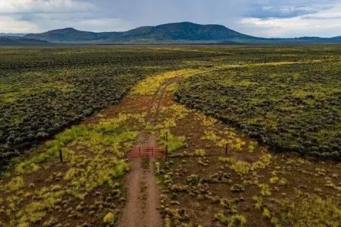
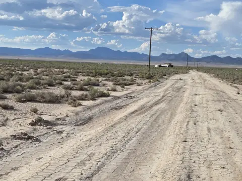
39.27 Acres with Well / Water, Beryl, UT 84714
Land, Beryl, UT
Property Size1,710,601 SF
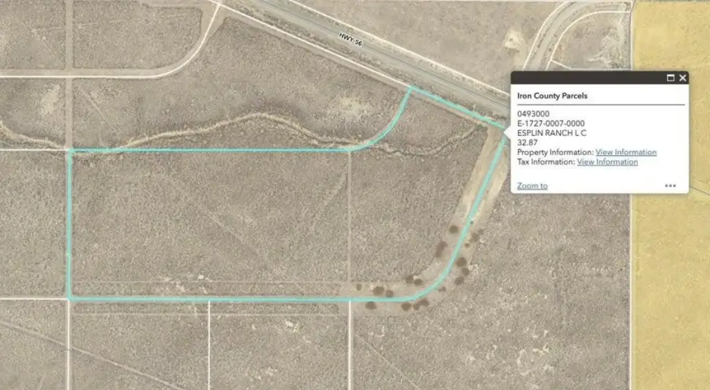
Lot Size32.87 Acres
Price / SF$0.13
Days on Market281
Property Features for 39.27 Acres with Well / Water
General Information
Property type
Land
Property subtype
Other
Zoning
AG 20
Zoning description
Agricultural
Lot features
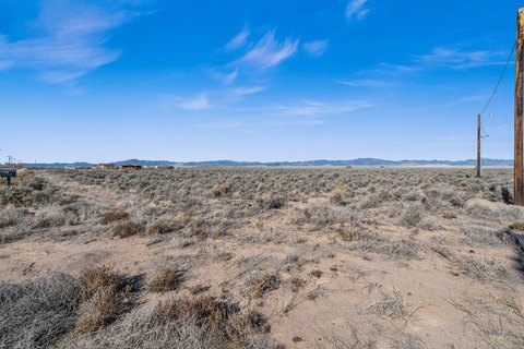
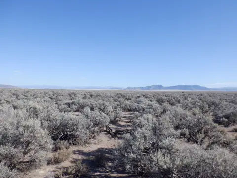
Terrain Flat
Elementary school
.
Middle school
.
High school
.
Directions
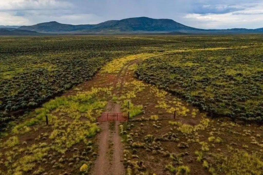
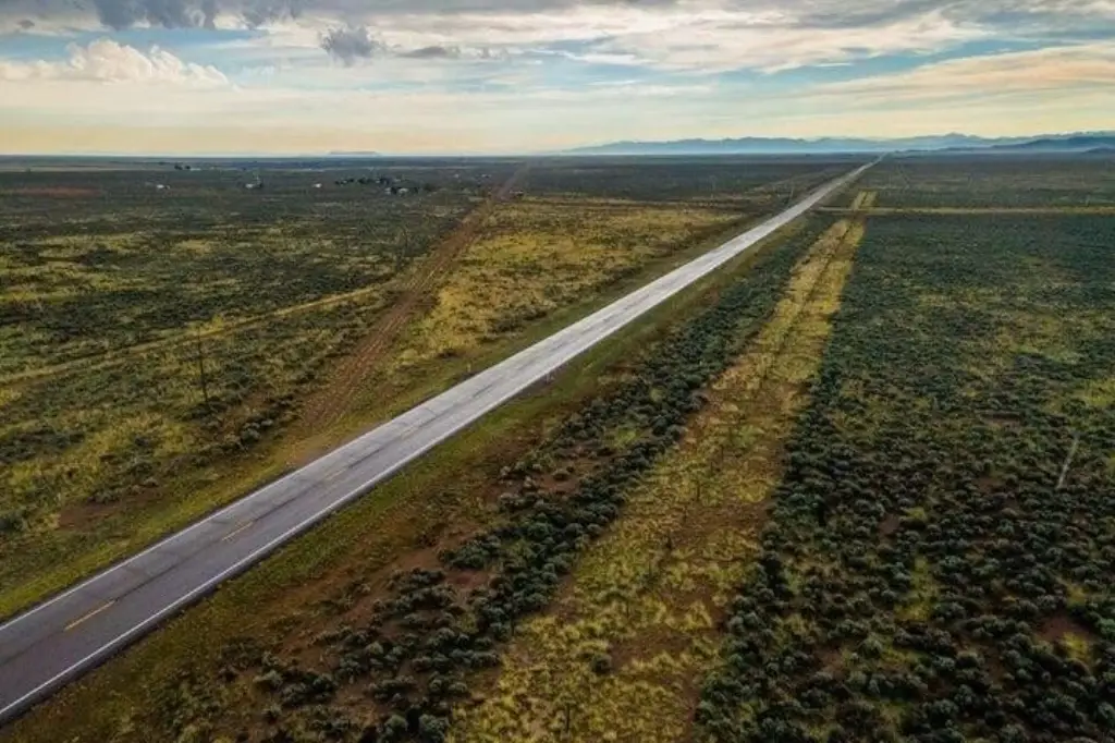
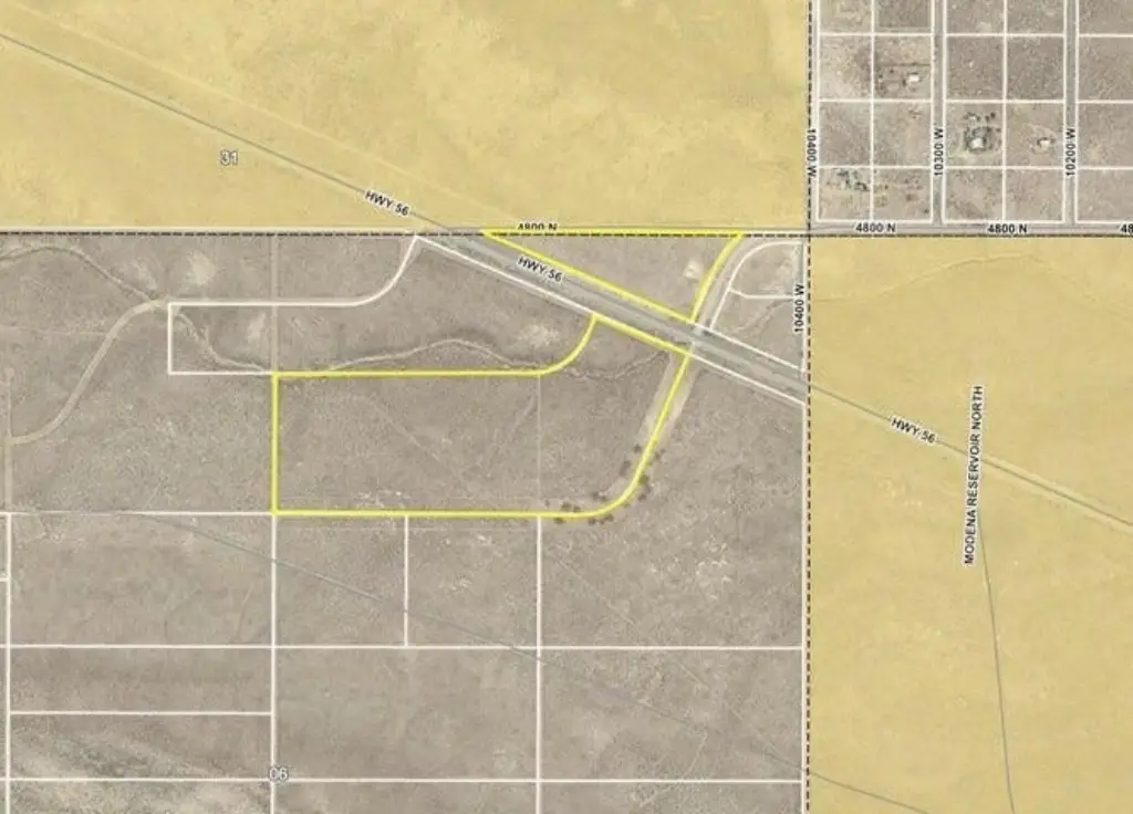
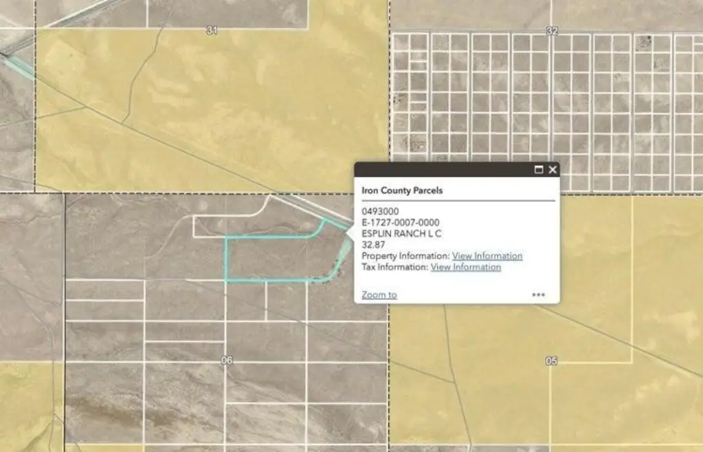
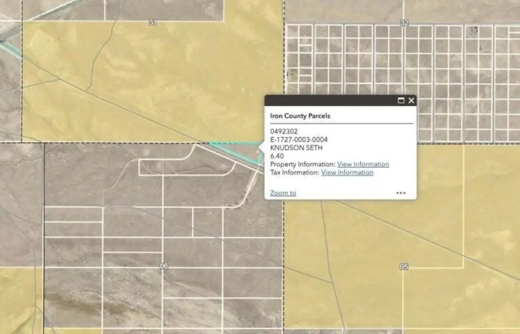
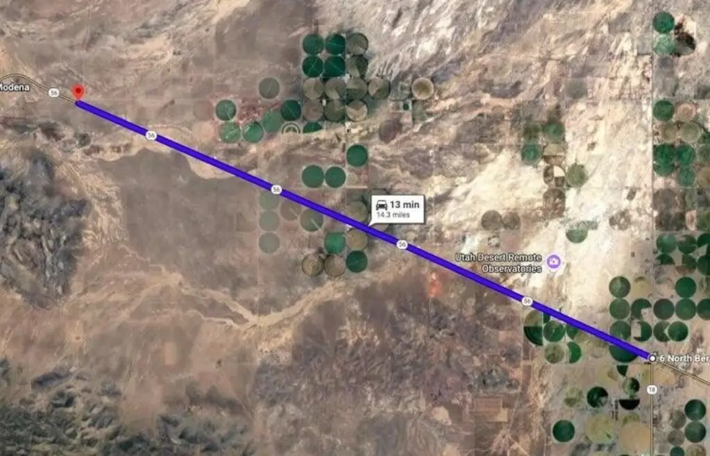
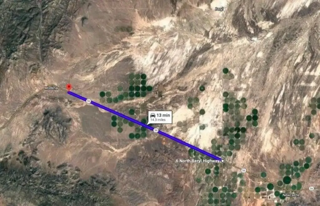
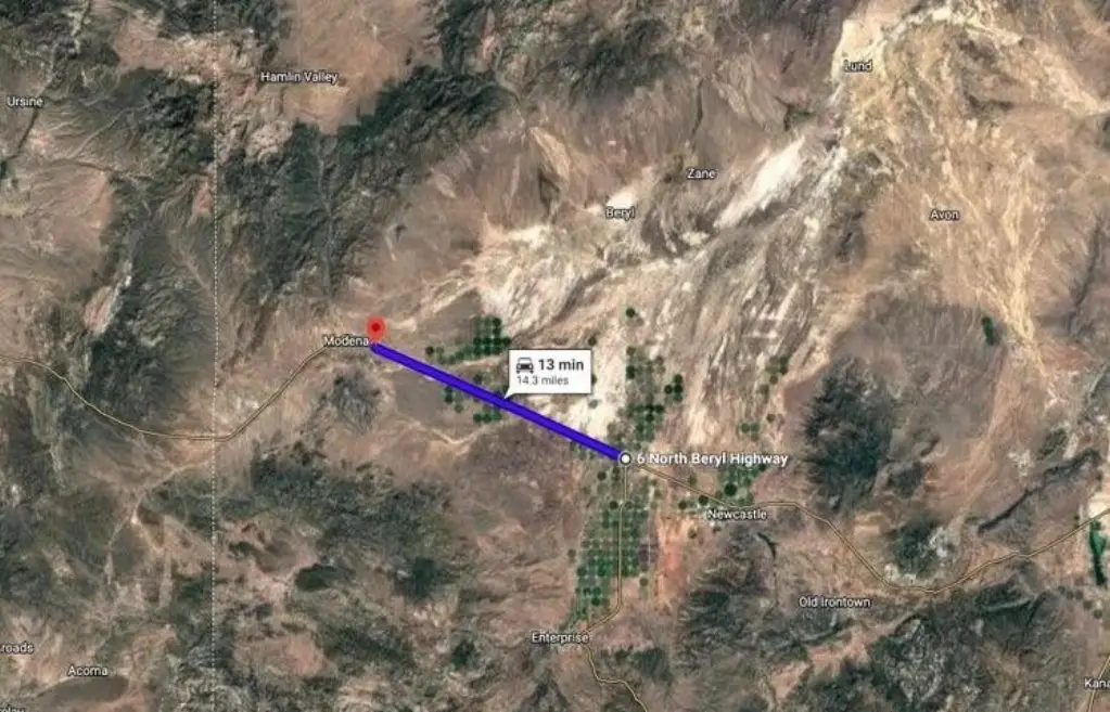
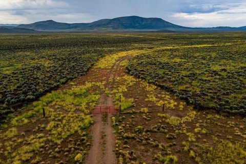
Take Highway 56 West from Beryl Junction heading towards Modena/Nevada. Property is on the left (South) side of Highway 56. Access to this property is the first gate and not the second one. Use the google map link below for exact directions. Follow this google map link for ease. https://maps.app.goo.gl/2NZTYHPabEGvJNFdA
Subdivision
Outside Area
Standard status
Active
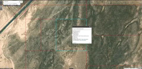
APN
E-1727-0007-0000 +1
Size
1,710,601 SF
Lot size
32.87 Acres
Taxes and HOA fees
Tax Annual Amount
333
Listing Agency:
KW Ascend Keller Williams Realty
(435) 767-9888
Listed By:
BILL FOWLER · License #5555165
(435) 862-9793
Added: Jan 9
Changed: Aug 31
Last Checked: Oct 17 at 5:06AM
MLS# 26-267980
Copyright © 2026 Washington County Board of Realtors. All rights reserved. All information provided by the listing agent/broker is deemed reliable but is not guaranteed and should be independently verified.

Ask AI about this property
Review the available facts, identify missing information and prepare questions for the agent.
Investment Insights
Based on property information with market context.
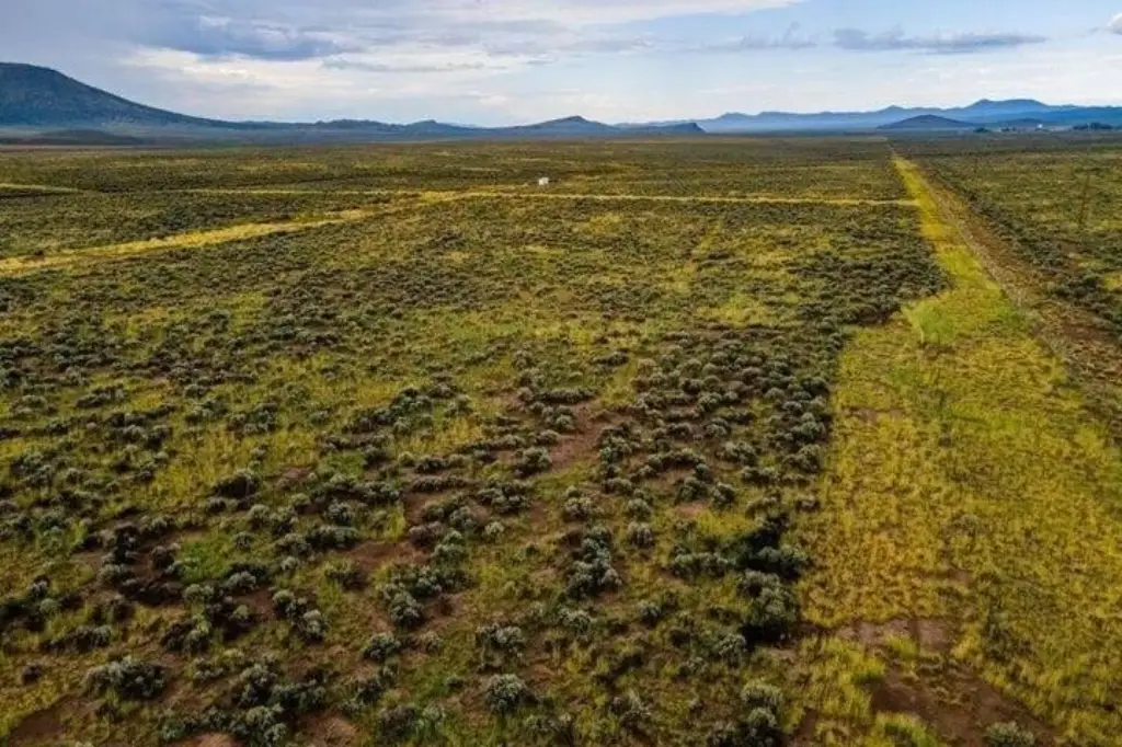
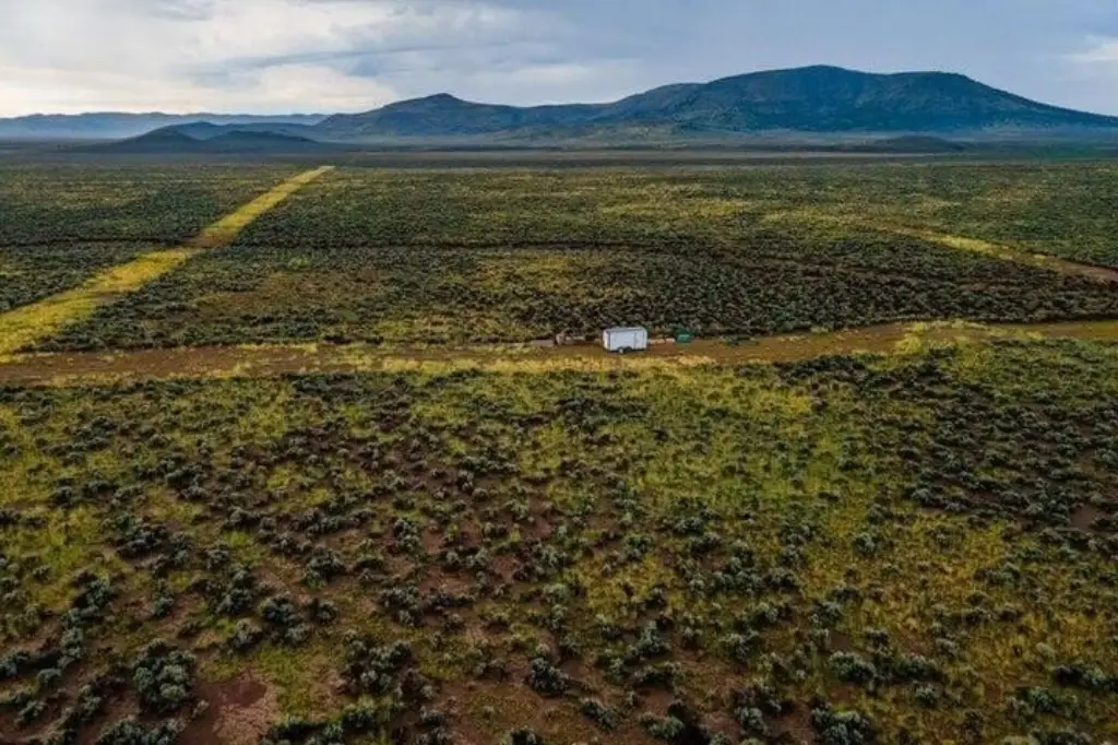
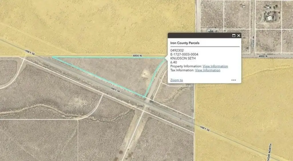
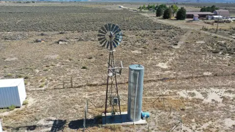
This agricultural land offering includes two parcels with frontage on both sides of Highway 56 near the Beryl and Modena border. The property carries AG 20 zoning and includes access to a newly installed well through a shared well arrangement with four other parcel owners.
The water allocation includes 0.5 acre feet of water rights. The well is connected to Dixie Power, while power is approximately 1,300 feet from the property corner. The source information identifies potential agricultural, ranching, residential, recreational, and other business uses, subject to applicable requirements. The well is situated on a parcel located two parcels west of the property.
The water allocation includes 0.5 acre feet of water rights. The well is connected to Dixie Power, while power is approximately 1,300 feet from the property corner. The source information identifies potential agricultural, ranching, residential, recreational, and other business uses, subject to applicable requirements. The well is situated on a parcel located two parcels west of the property.
Key Highlights
- Two agricultural parcels with frontage on both sides of Highway 56
- AG 20 zoning
- Access to a newly installed well shared with 4 other parcel owners
Property Analytics
Current Use
Lease Details
Yes
Highway access
Yes
Paved road access
Yes
Water rights
Location Intelligence
Trade Area within ½ mile
1
Businesses Nearby
Explore this area
Business Placement
Demographics for 84714, UT
828
Population
464
Households
1.8
Avg Household Size
35
Median Age
9%
College-Educated
81%
High-School Grad
382.8 sq mi
ZIP Area
2
Density / Sq Mi
$55,217
Median Household Income
$40,481
Median Earnings
$199,200
Median Home Value


Frequently Asked Questions
What type of property is this?
Agricultural land / Farmland - Two agricultural parcels with AG 20 zoning, Highway 56 frontage, and access to a shared well.
Where is this agricultural land / farmland located?
The property is located at 39.27 Acres with Well / Water Beryl, UT.
What is the asking price?
The asking price for this property is $228,000.
What are key features of this property?
This property features: Two agricultural parcels with frontage on both sides of Highway 56; AG 20 zoning; Access to a newly installed well shared with 4 other parcel owners


