Unknown 221-35-007, Fort Mohave, AZ 86426
- Added:
- Oct 13, 2025
- Days on Market:
- 252
- Last Refresh:
- Jun 21 at 7:06 pm
Property Features for Unknown 221-35-007
General Information
- Property type
- Land
- Property subtype
- Other
- Standard status
- Active
- APN
- 221-35-007
- Lot size
- 63.74 Acres
Taxes and HOA fees
- Tax Year
- 2024
- Tax Description
- T19N R21W SEC 31 GLO LOT 2 39.98 AC; LOT 7 20.00 AC; LOT 9 3.76 A C CONT 63.74 ACRES TOTAL 221-35-002(221-35-007 & 008)
- Tax Annual Amount
- 3063
Utilities
- Sewer type
- Septic Needed
Listing agent Shannon Jones License #SA691759000 (928) 733-0300
Listing office BH Keller Williams Arizona Living Realty 3790 Highway 95, Lake Havasu City, AZ (928) 219-5482
Listing date Oct 13, 2025
Copyright © 2026 Momentum MLS. All rights reserved. All information provided by the listing agent/broker is deemed reliable but is not guaranteed and should be independently verified.
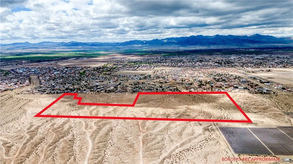
HighLights
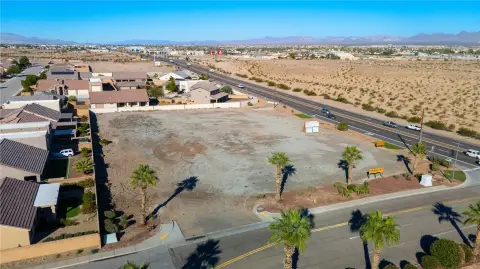
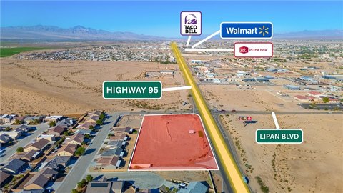
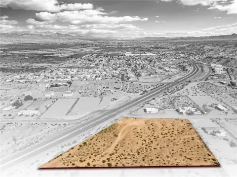
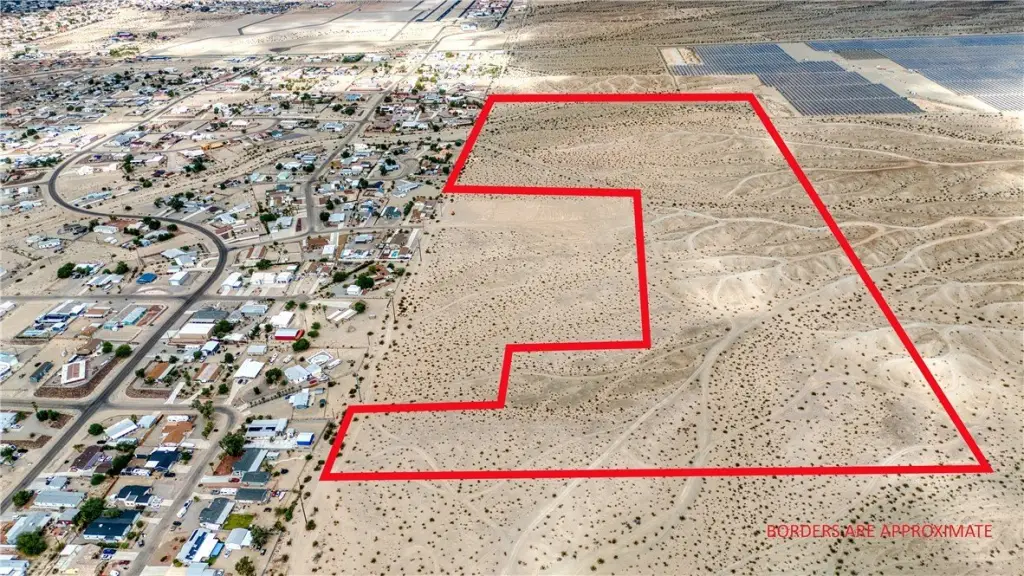
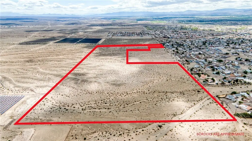
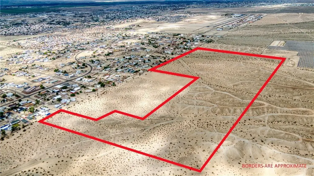
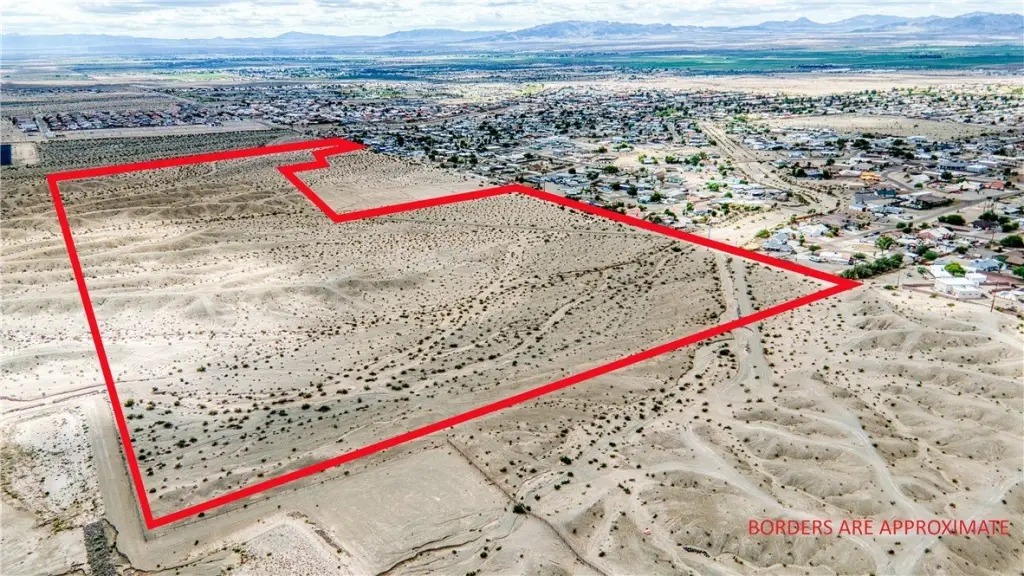
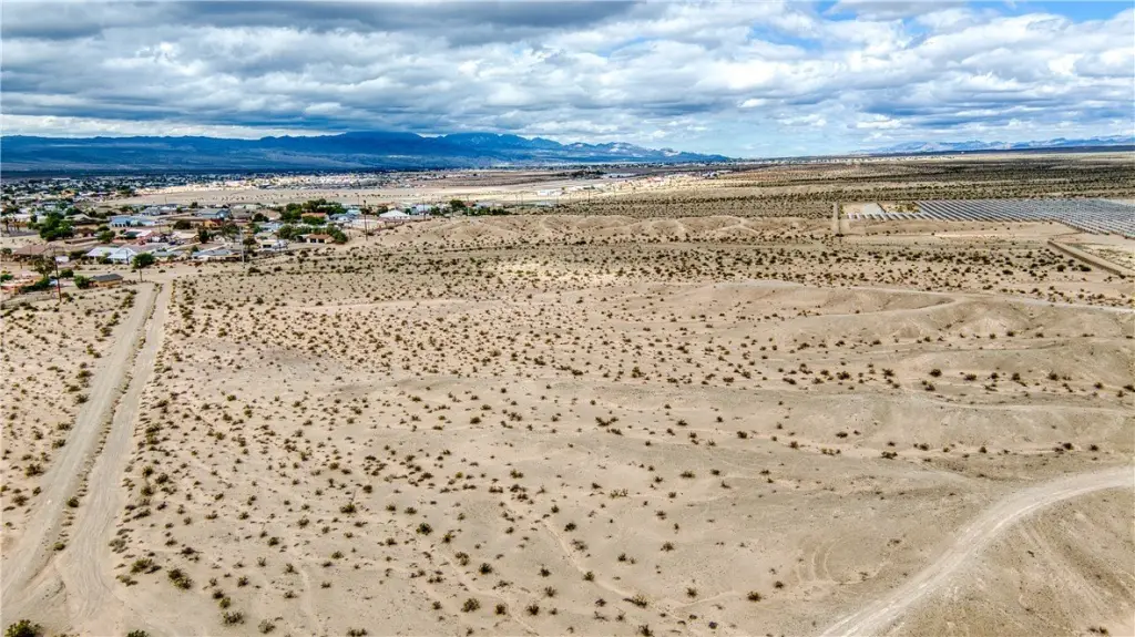
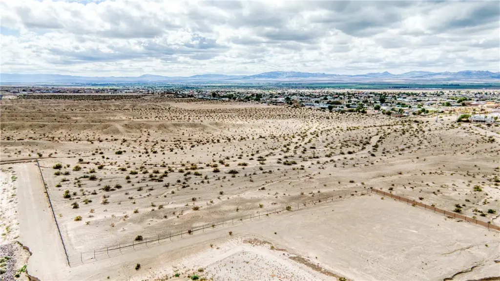
- Over 60 acres of land in Fort Mohave, AZ near the AZ/NV/CA border and the Colorado River
- Zoned RE/10A (Residential/Recreation, 10‑acre minimum)
- Property borders an established subdivision to the west and solar development to the east
- Power lines run along the property boundary
- Sewer: septic needed
Overview
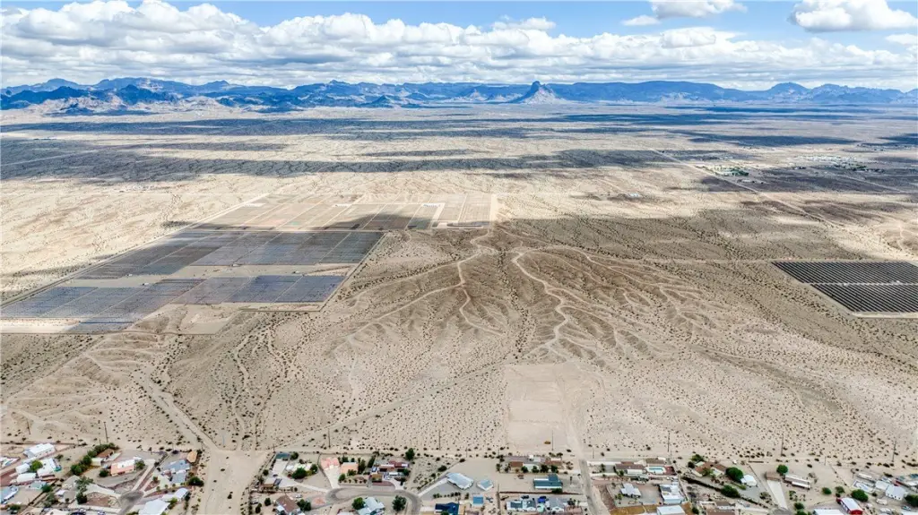
The site’s setting places it near the AZ/NV/CA border and the Colorado River area, providing a broader geographic context for prospective buyers. The property also directly abuts neighboring parcels in multiple directions, which may be relevant for layout planning and future land-use coordination.
Zoning and utilities are the two most practical considerations for this land. With RE/10A and a 10-acre minimum, the parcel is suited for development concepts that align with larger-lot residential and recreation-oriented uses. Power line presence along the boundary can reduce early infrastructure questions, while the surrounding mix of subdivision and solar development supports consideration of a range of long-range use scenarios consistent with the zoning framework.
Current Use by Public Records
Map
- City
- Fort Mohave
- County
- Mohave
- State
- Arizona
- Longitude
- -114.559341
- Latitude
- 34.989694