Unrestricted Farmland
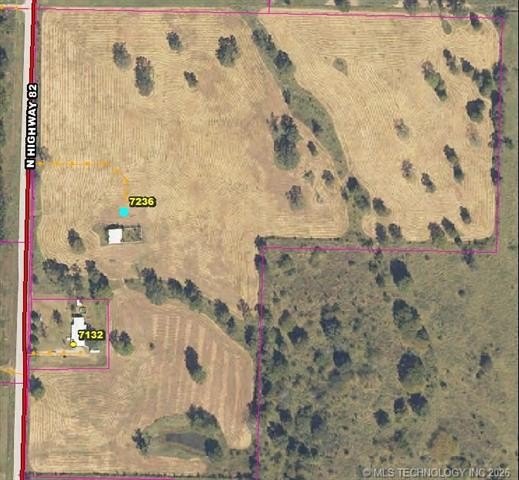
7236 State Highway 82 N Spavinaw, OK 74366
For Sale
$435,000
LAND - Spavinaw, OK
Lot Size29.00 Acres
Days on Market59
Property Features for 7236 State Highway 82 N
General Information
Property type
Land
Property subtype
Other
Zoning
UNRESTRICT
Standard status
Active
APN
0000-34-22N-21E-3-001-00
Lot size
29.00 Acres
Taxes and HOA fees
Tax Year
2025
Tax Description
SEC 34-22-21 S2NWSW, NWSWSW LESS A TRACT IN SW/4 BEG AT A POINT ON THE WEST LINEOF,SWSW AND 971.36' N OF THE SW CORNER;THEN N01(DEGREES)20'01"W A DIST OF 197FT THENContinued... See Addendum Property Legal Description 1
Tax Annual Amount
219
Utilities
Water source
Well
Listing Agency:
Keller Williams Preferred
(918) 496-2252
Listed By:
Jeremy Murphy
(918) 496-2252
Added: Jun 2
Changed: Jul 7
Last Checked: Jul 30 at 6:06AM
MLS# 2620209
Copyright © 2026 MLS Technology, Inc. All rights reserved. All information provided by the listing agent/broker is deemed reliable but is not guaranteed and should be independently verified.
Investment Insights
Based on property information with market context.
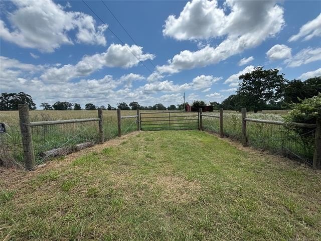
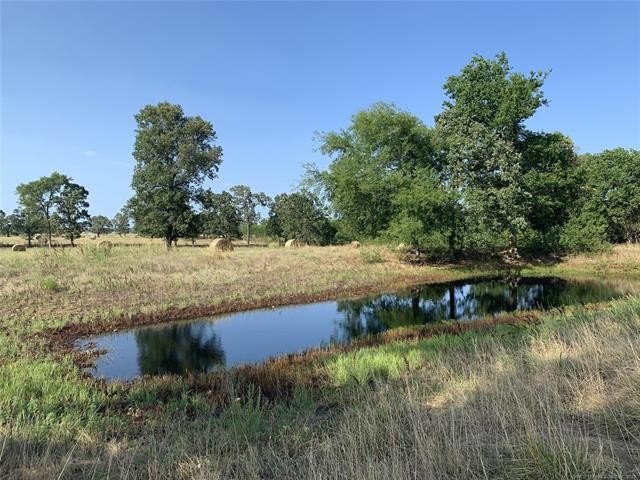
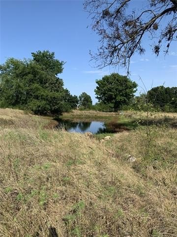
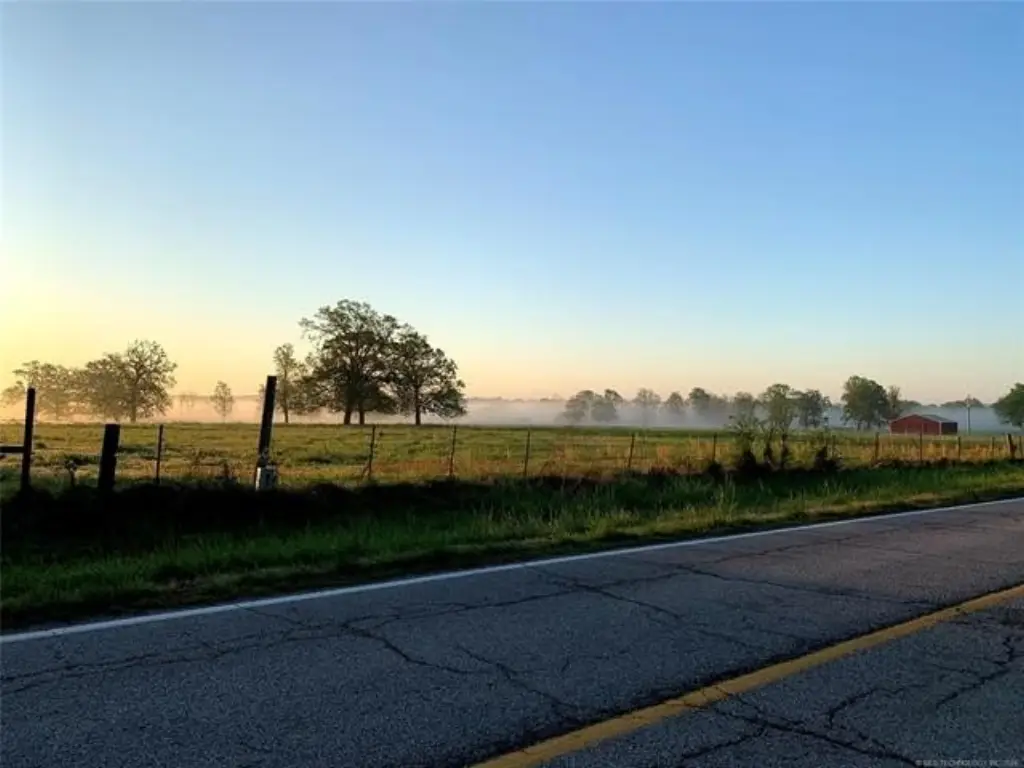
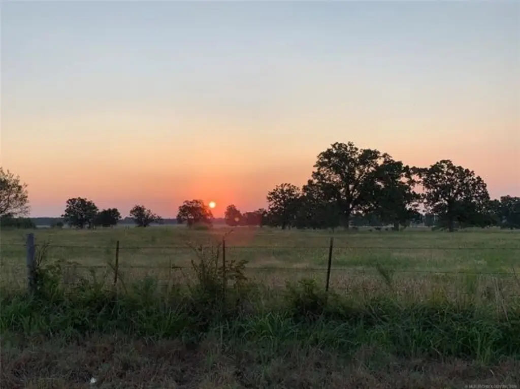
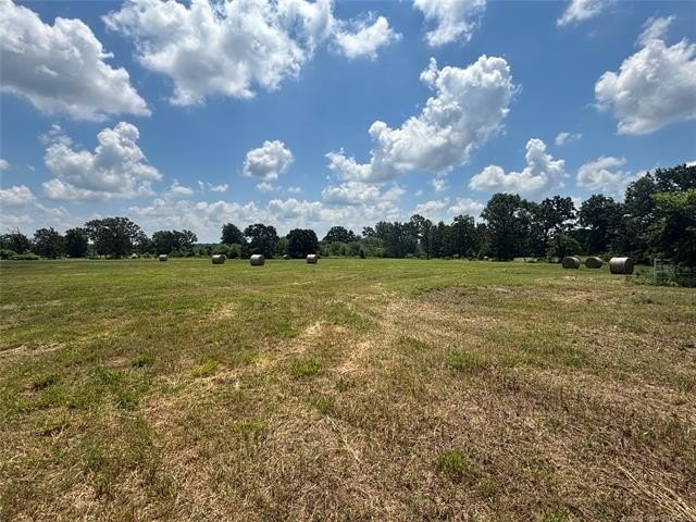
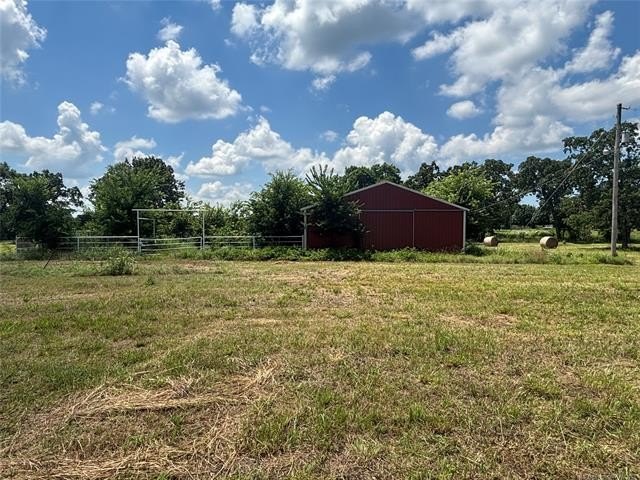
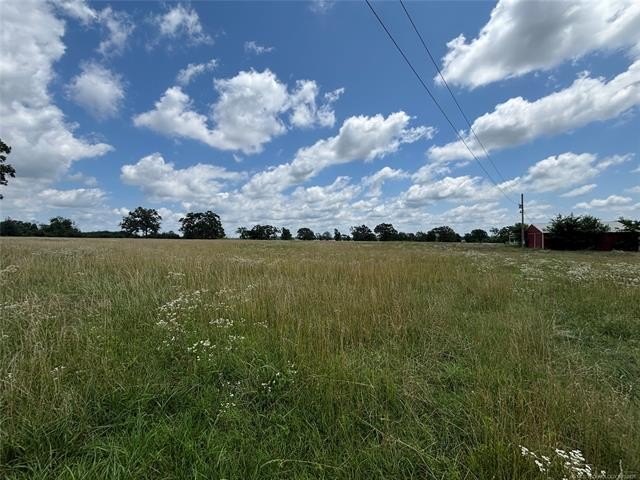
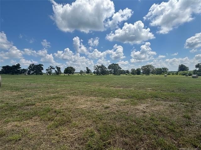
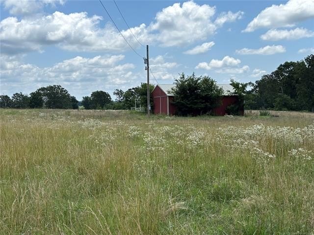
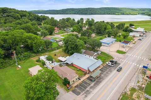
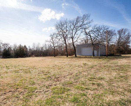
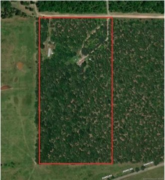
Offered for sale is a predominantly flat 29-acre tract in northeast Oklahoma with mature trees throughout and a large pond on site. Improvements include a 40x40 metal barn with pipe corral and a tack room that is wired for electric (a new meter would be required). The property previously was serviced via well-water.
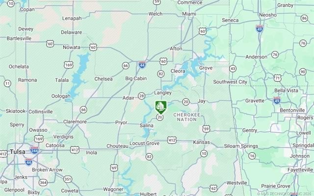
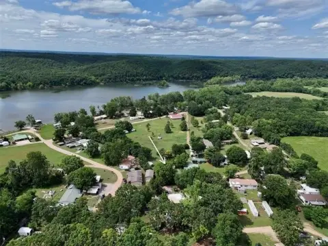
The land is located south of Spavinaw in the foothills of the Ozark Mountains. It is within close proximity to the Spavinaw Wildlife refuge, and the listing highlights access to nearby lakes including Lake Spavinaw, Lake Eucha, Lake Hudson, and GrandLake. Utilities are located at the road, and the site offers highway frontage.
With UNRESTRICTED zoning, this property can be evaluated for a wide range of uses, including residential development as well as agricultural or equestrian setups that benefit from on-site outbuildings and the existing corral and tack area. It may also be of interest to buyers looking for a rural lifestyle site with room for outdoor amenities, with utilities already available at the road for future tie-ins.
Key Highlights
- 29 acres of predominately flat land in Northeast Oklahoma for sale
- Large pond and several mature trees throughout the property
- 40x40 metal barn with pipe corral and tack room, wired for electric (new meter would be required)
Property Analytics
Location Intelligence
Current Use


Frequently Asked Questions
What type of property is this?
Agricultural land / Farmland - Predominately flat acreage with a large pond and metal barn, suitable for agricultural, equestrian, or lifestyle development plans.
Where is this agricultural land / farmland located?
The property is located at 7236 State Highway 82 N Spavinaw, OK.
What is the asking price?
The asking price for this property is $435,000.
What are key features of this property?
This property features: 29 acres of predominately flat land in Northeast Oklahoma for sale; Large pond and several mature trees throughout the property; 40x40 metal barn with pipe corral and tack room, wired for electric (new meter would be required)


