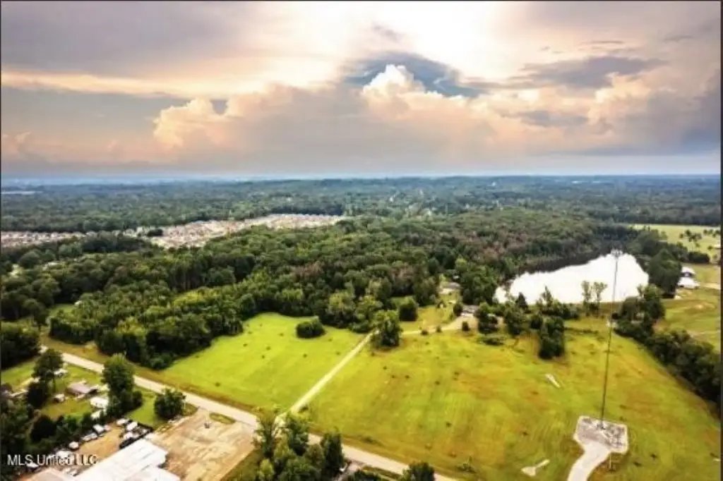
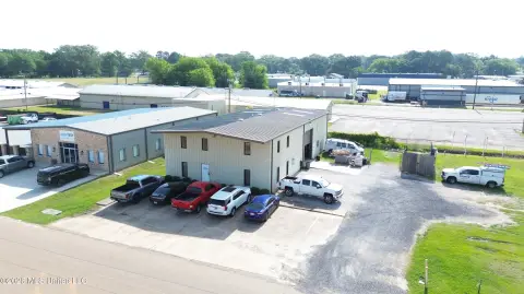
Commercial Land in Pearl,
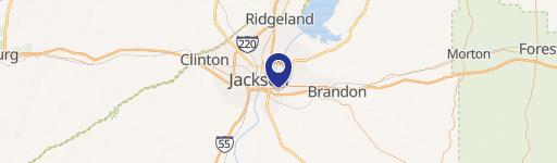
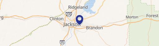
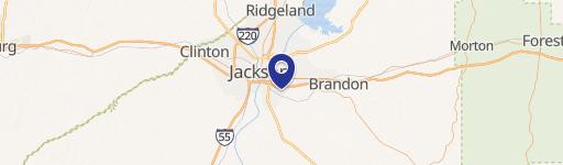
2 Hwy 468 Pearl, MS 39208
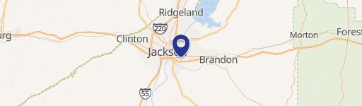
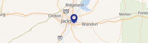
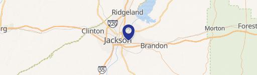
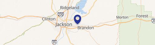
2 Hwy 468, Pearl, MS, 39208
$250,000
For Sale
$250,000
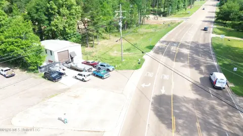
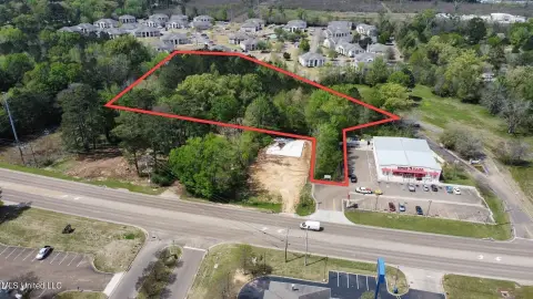
COMMERCIAL - Pearl, MS
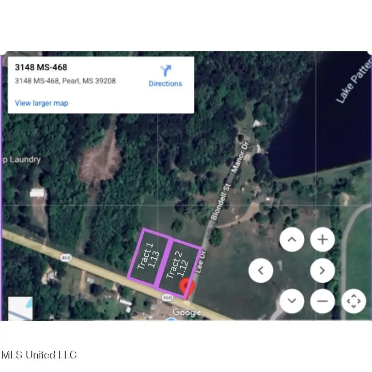
Lot Size1.13 Acres
Days on Market277
Property Features for 2 Hwy 468
General Information
- Property type
- Commercial Sale
- Property subtype
- Other
- Standard status
- Active
- APN
- Unassigned
- Lot size
- 1.13 Acres
Taxes and HOA fees
- Tax Year
- 2025
- Tax Description
- A tract or parcel of land containing 1.13 acres, more or less, lying and being situated in the Southwest 1/4 of the Southwest 1/4 of Section 28, Township 5 North, Range 2 East, Rankin County, Mississippi and being more particularly described by metes and bounds as follows: Commencing at a fence corner marking the Northeast corner of the Southeast 1/4 of the Southwest 1/4 of said Section 28; run thence South 76 degrees 50 minutes 54 seconds West for a distance of 1261.10 feet to a set 1/2 iron pin; thence North 78 degrees 45 minutes 15 seconds West for a distance of 145.08 feet to a set 1/2 iron pin marking the Point of Beginning of the herein described property; thence South 21 degrees 32 minutes 04 seconds West for a distance of 293.45 feet to a set 1/2 inch iron pin marking the North Right-of-Way of Whitfield Road (State Highway 468); thence North 68 degrees 27 minutes 56 seconds West along said North Right of Way of Whitfield Road (State Highway 468) for a distance of 177.00 feet to a set 1/2 inch iron pin; thence North 21 degrees 32 minutes 04 seconds East for a distance of 261.32 feet to a set 1/2 inch iron pin; thence South 78 degrees 45 minutes 15 seconds East for a distance of 179.89 feet to the Point of Beginning.
Utilities
- Utilities
- Water Available
- Water source
- Public
Listing agency
The Lovejoy Group LLC
(601) 278-3617
Listed by
Selena Lovejoy · License #B22583
(601) 278-3617
Added: Oct 20, 2025 Updated: Jul 10 at 8:44AM Checked: Jul 23 at 7:06AM
MLS# 4129223
Copyright © 2026 MLS United. All rights reserved. All information provided by the listing agent/broker is deemed reliable but is not guaranteed and should be independently verified.
Investment Insights
Based on property information with market context.
This 1.13-acre commercial property is located in Pearl, Mississippi. The property has been newly re-zoned for C3. It is centrally located in an area thriving with both commercial and residential occupants. The property is situated amid a busy thoroughfare, minutes from I-20 Airport Rd Exit or I-20 Pearson Road Exit, and approximately 10 minutes from Jackson International Airport.
Key Highlights
- Newly re‑zoned for C3, offering significant commercial development potential.
- Centrally located in a thriving commercial and residential area.
- Ideally situated on a busy thoroughfare.
Property Analytics
Property Profile
Location Intelligence
Current Use by Public Records
Isalis
(Bike/Boat/Book/etc) Store
Party City
Party Supply Store
Skunk Funk
Big Box & Wholesale Store
Carl's Trading Co
Hat Shop
Bushka's Kitchen LLC
(Bike/Boat/Book/etc) Store
Similar For Sale Nearby
FAQs
What type of property is this?
Commercial land - Commercial land in a thriving area, newly zoned C3.
Where is this commercial land located?
The property is located at 2 Hwy 468 Pearl, MS.
What is the asking price?
The asking price for this property is $250,000.
What are key features of this property?
This property features: Newly re‑zoned for C3, offering significant commercial development potential.; Centrally located in a thriving commercial and residential area.; Ideally situated on a busy thoroughfare.


