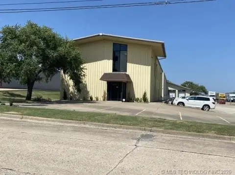
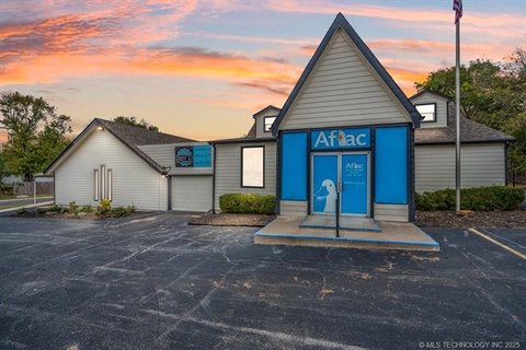
1610 E Apache Street North, Tulsa, OK 74106
- Added:
- Jun 24, 2026
- Days on Market:
- 4
- Last Refresh:
- Jun 27 at 3:06 pm
Property Features for 1610 E Apache Street North
General Information
- Property type
- Commercial Sale
- Property subtype
- Other
- Zoning
- CH
- Exterior features
- Lighting, Sidewalk
- Standard status
- Active
- Lot size
- 8.49 Acres
Taxes and HOA fees
- Tax Year
- 2025
- Tax Description
- UNPLATTED LEGAL: E2 E2 NW NE NW LESS BEG 769.88W & 40S NEC NW TH SW2786 S608.63 W30 N620.64 E55 POB SEC 30 20 13 2.069 ACS SEC 30 TWP 20 RANGE 13
- Tax Annual Amount
- 3317
Utilities
- Utilities
- Water Available
- Heating system
- Central
- Cooling system
- Central Air
Building Details
- Year built
- 1973
- Building materials
- Concrete
Listing agent Greta Archibald License #210111 (918) 496-2252
Listing office Keller Williams Preferred 4745 E 91st Ste 100, Tulsa, OK (918) 496-2252
Listing date Jun 24, 2026
Copyright © 2026 MLS Technology, Inc. All rights reserved. All information provided by the listing agent/broker is deemed reliable but is not guaranteed and should be independently verified.
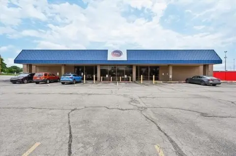
HighLights
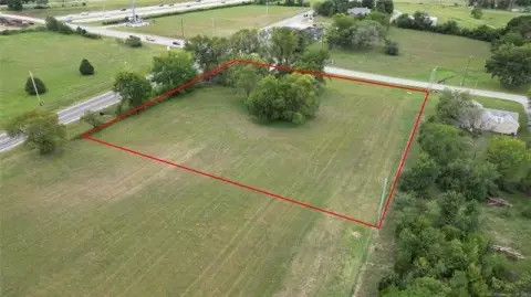
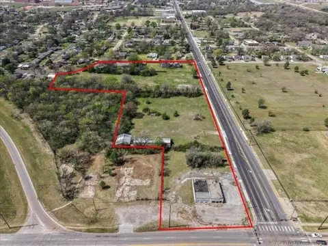
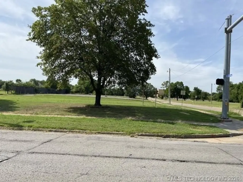
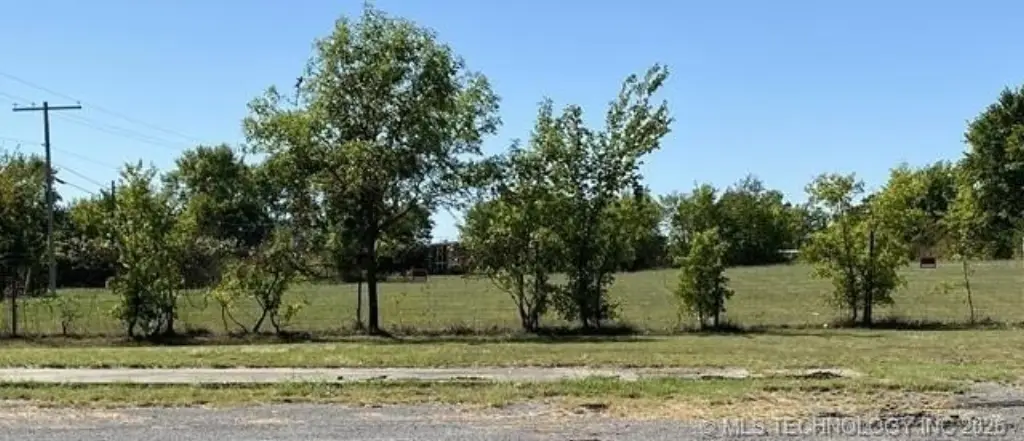
- 8.52 acres total across two adjacent sites at 1610 E Apache St and 1620 E Apache St, offered together or as individual parcels
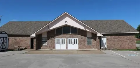
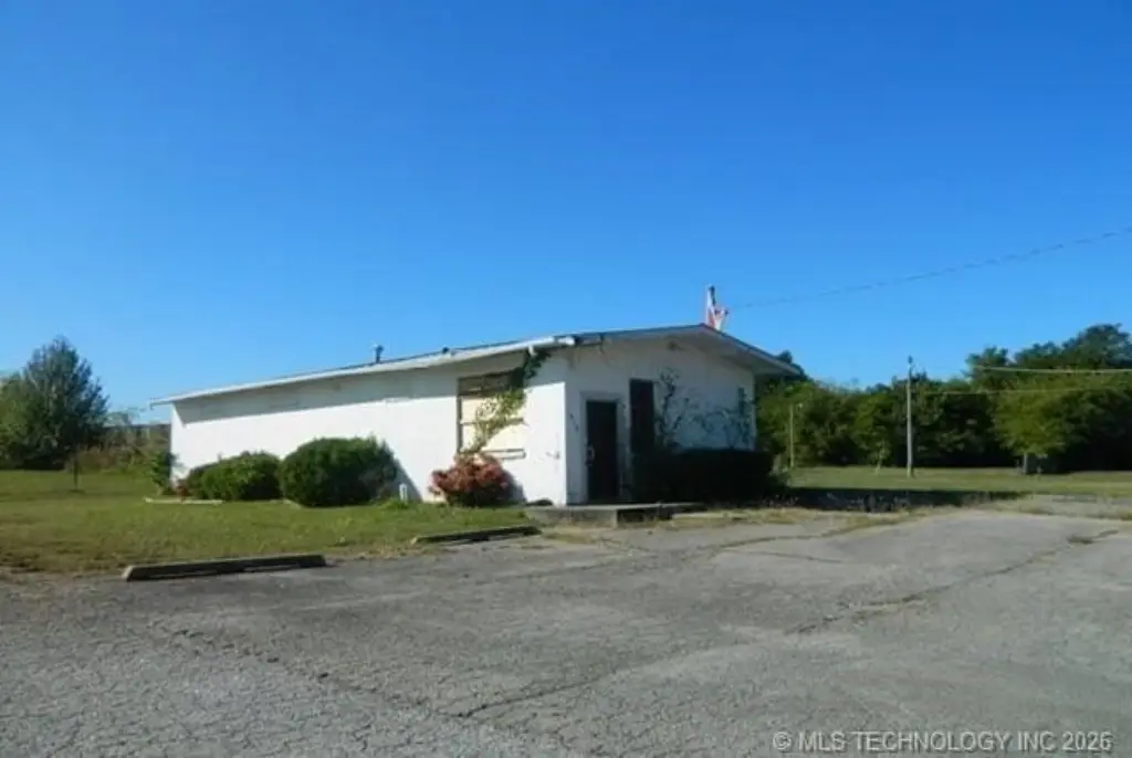
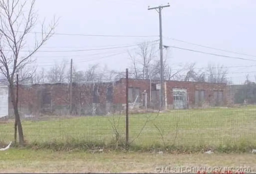
- 1610 E Apache St: approx. 2.07 acres with an unused structure that may be renovated, repurposed, or redeveloped
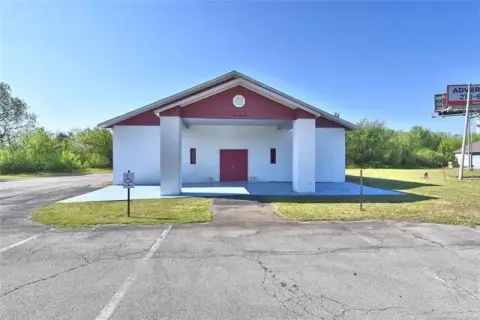
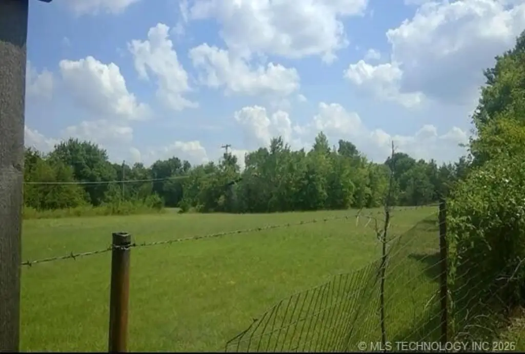
- 1620 E Apache St: approx. 6.45 acres with an unimproved building for redevelopment, storage, industrial use, or future expansion
- Commercially zoned land totaling 8.52 acres with flexibility for uses subject to zoning and municipal requirements
- Central heating and central air noted, with water available and concrete construction
Overview
The properties are located at 1610 E Apache Street and 1620 E Apache Street in Tulsa, Oklahoma. The package is available as a combined purchase or as individual parcels, giving buyers the ability to size their project to the property that best fits their operational or development goals.
For owner-users, developers, and investors, the combination of an unused structure on one parcel and an unimproved building on the other supports multiple path options, depending on how the improvements are approached. Potential uses will need to be confirmed through zoning and municipal requirements, but the configuration is well suited to buyers seeking commercially zoned land with flexibility for redevelopment and industrial-oriented uses.
Current Use by Public Records
Location Insight
- Map
- Local Demand
- City
- Tulsa
- County
- Creek
- State
- Oklahoma
- Longitude
- -95.9696503
- Latitude
- 36.1906139