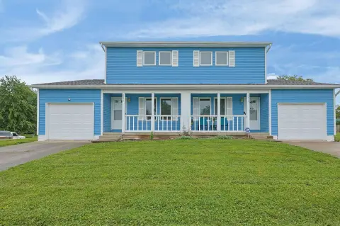
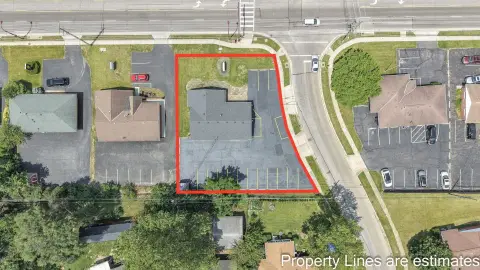
Taylor Rd Reynoldsburg, OH 43068
Property profile & analytics
Taylor Rd, Reynoldsburg, OH 43068
- Apartment buildings
- 4,096 SF
- 4.21 lot acres
Property ID
US66-4306710
The Realmo ID is a unique identifier assigned to every property, incorporating country codes and precise geo-coordinates for 300x300-foot land blocks. It enables standardized data collection and seamless integration of disparate sources such as ownership, tax, title data and physical specifications. By aggregating current and historical records, the Realmo ID powers advanced analytics and delivers deep, verifiable insights for real estate professionals.
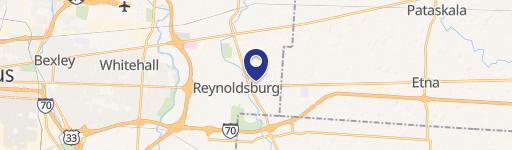
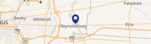
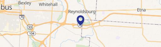
Location Intelligence
Current Use by Public Records
- Apartment buildings
Property Details for Taylor Rd
- Year built
- 2001
- Lot size
- 4.21 lot acres
- Property type
- Apartment buildings
- APN
- 013-027342-00.002
- APU
- 1302734200002
Sales History
| Date | Price | Buyer | Seller | Deed Type | Mortgage |
|---|---|---|---|---|---|
| Apr 19, 2006 | $3,303,400 | Creekside III Acquisition LLC | Noca Apartments Three Ltd | Trustees Deed | $12.4M · Republic Bank |
| Apr 19, 2006 | $383,500 | Creekside II Acquisition LLC | Noca Apartments Two Ltd | Grant Deed | — |
Value Estimations
based on Realmo’s proprietary methodology
-
CAP approach
- CAP Return
- Estimation
- 6%
- $625,000
- 6.5%
- $575,000
- 7%
- $535,000
-
Comparable approach
- Method
- Estimation
- AI Estimate
- $510,000
Market price range: $186k - $510k -
Alternative Use
- Use
- Estimation
- APARTMENT HOUSE (5+ UNITS)
- $330,000 Current use
- OFFICE BUILDING
- $570,000 Change: +72% Conversion: Moderate
- MEDICAL BUILDING
- $375,000 Change: +14% Conversion: Moderate
- AUTO REPAIR, GARAGE
- $355,000 Change: +7% Conversion: Difficult
Get a detailed, property-specific estimation — fast and free
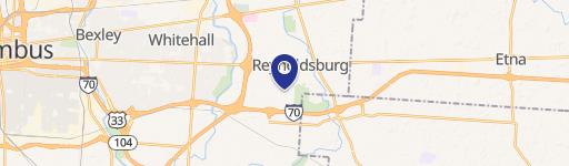
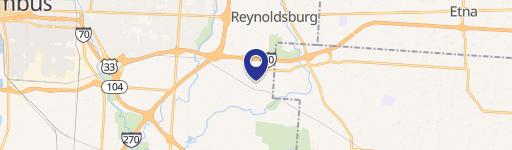
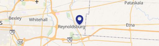
Location Insight
- Map
- Local Demand
- City
- Reynoldsburg
- County
- Licking
- State
- Ohio
- Longitude
- -82.7805
- Latitude
- 39.94
- CBSA code
- 18140
- CBSA name
- COLUMBUS, OH METROPOLITAN STATISTICAL AREA
Property Tax & Assessments
Tax date
Tax Amount
Assessed Land Value
Assessed Improvement Value
Total Assessed Value
Applied Tax Rate
Land Market Value
Improvement Market Value
Total Market Value
2023
$78,653
$221,030
$1,202,360
$1,423,390
-
$631,500
$3,435,300
$4,066,800