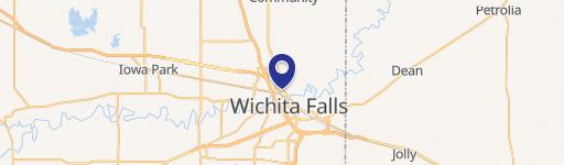
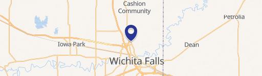
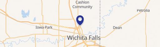
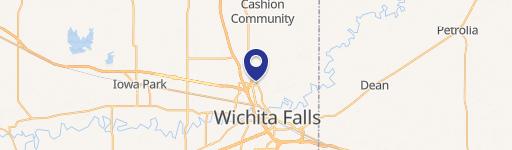
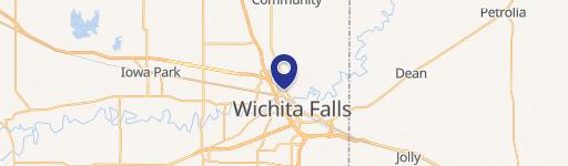
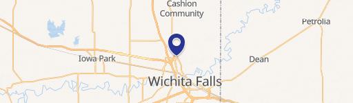
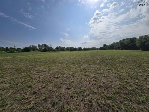
Pearlie Dr Wichita Falls, TX 76306
MANUFACTURED HOUSING RESIDENTIAL DISTRICT § 3330 Purpose. § 3340 Permitted uses. § 3350 Conditional uses. § 3355 Development regulations. Pt 3360 LO-LIMITED OFFICE DISTRICT Pt 3370 LC-LIMITED COMMERCIAL DISTRICT Pt 3450 GC-GENERAL COMMERCIAL DISTRICT Pt 3510 LI-LIGHT INDUSTRIAL DISTRICT Pt 3580 HI-HEAVY INDUSTRIAL DISTRICT Pt 3640 PUD-PLANNED UNIT DEVELOPMEN…
Cap rate
Implied · in-place · derived from last sale + estimated NOIValue
AI, CAP & Alternative Use estimations · Realmo proprietary blendProperty tax & assessments
Tax year 2023Comparables
6 recent transactions · within 1.5 miComparable in this City
Similar Nearby for Sale


Similar Nearby for Lease


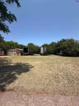
Property description
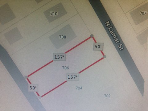
Physical attributes from public recordsZoning & alternative use
GC · Wichita Falls, TXMANUFACTURED HOUSING RESIDENTIAL DISTRICT § 3330 Purpose. § 3340 Permitted uses. § 3350 Conditional uses. § 3355 Development regulations. Pt 3360 LO-LIMITED OFFICE DISTRICT Pt 3370 LC-LIMITED COMMERCIAL DISTRICT Pt 3450 GC-GENERAL COMMERCIAL DISTRICT Pt 3510 LI-LIGHT INDUSTRIAL DISTRICT Pt 3580 HI-HEAVY INDUSTRIAL DISTRICT Pt 3640 PUD-PLANNED UNIT DEVELOPMENT DISTRICT Pt 3700 RIVER DEVELOPMENT DISTRICT (Outside Greater Downtown Zone) Pt 3
No recorded transactions found for this property.
Costs & Benchmarks
Operating expenses, capex projections, utility benchmarks, and submarket comparables — all in one view.
Risks
Flood, climate, environmental, title, and tenant-concentration risk — surfaced with mitigations and source citations.


