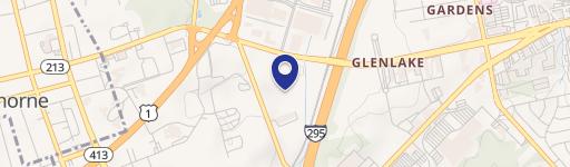
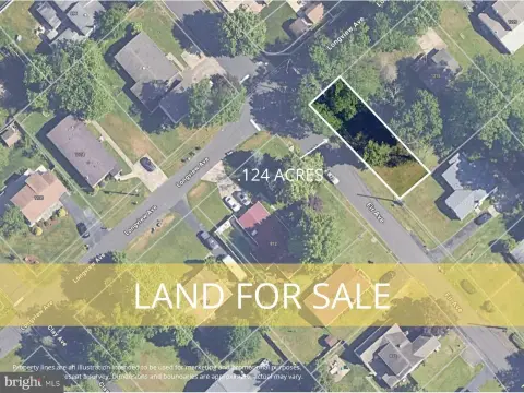
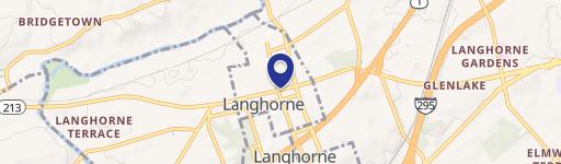
Oxford Vly Rd Langhorne, PA 19047
Property profile & analytics
Oxford Vly Rd, Langhorne, PA 19047
- Industrial land
- 0.23 lot acres
Property ID
US73-4196695
The Realmo ID is a unique identifier assigned to every property, incorporating country codes and precise geo-coordinates for 300x300-foot land blocks. It enables standardized data collection and seamless integration of disparate sources such as ownership, tax, title data and physical specifications. By aggregating current and historical records, the Realmo ID powers advanced analytics and delivers deep, verifiable insights for real estate professionals.
Location Intelligence
Current Use by Public Records
- Industrial land
Property Details for Oxford Vly Rd
- Lot size
- 0.23 lot acres
- Zone code
- PIP
- Property type
- Industrial land
- APN
- 13-003-005-005
- APU
- 13003005005
Sales History
| Date | Price | Buyer | Seller | Deed Type | Mortgage |
|---|---|---|---|---|---|
| Sep 12, 2011 | — | R LP | — | Deed Of Trust · related | $15.8M · Sovereign Bank |
| Feb 10, 2003 | — | Gerald Slabicki | Banasek,victoria A | Grant Deed · related | — |
| Jul 24, 2001 | $10,500,000 | R LP | Parcel G Partnership | Grant Deed | $8.4M · Lasalle National Bank |
| — | — | Berg Investors | — | Deed Of Trust · related | $845k · Bsb Bank & Trust Co |
Value Estimations
based on Realmo’s proprietary methodology
-
AI approach
-
CAP approach
-
Comparable approach
-
Alternative Use
Get a detailed, property-specific estimation — fast and free
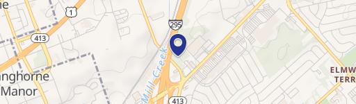
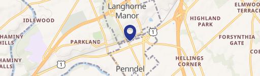
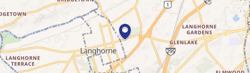
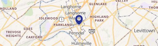
Location Insight
- Map
- Local Demand
- City
- Langhorne
- County
- Bucks
- State
- Pennsylvania
- Longitude
- -74.8646
- Latitude
- 40.1921
- CBSA code
- 37980
- CBSA name
- PHILADELPHIA-CAMDEN-WILMINGTON, PA-NJ-DE-MD METROPOLITAN STATISTICAL AREA
Property Tax & Assessments
Tax date
Tax Amount
Assessed Land Value
Assessed Improvement Value
Total Assessed Value
Applied Tax Rate
Land Market Value
Improvement Market Value
Total Market Value
2024
$668
$3,000
$0.00
$3,000
-
$41,096
$0.00
$41,096