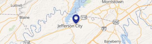
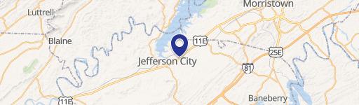
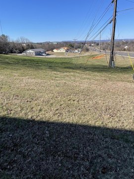
Hwy 92nd N Jefferson City, TN 37760
Property profile & analytics
Hwy 92nd N, Jefferson City, TN 37760
- Commercial land
- 10.90 lot acres
Property ID
US80-2376337
The Realmo ID is a unique identifier assigned to every property, incorporating country codes and precise geo-coordinates for 300x300-foot land blocks. It enables standardized data collection and seamless integration of disparate sources such as ownership, tax, title data and physical specifications. By aggregating current and historical records, the Realmo ID powers advanced analytics and delivers deep, verifiable insights for real estate professionals.
Location Intelligence
Current Use by Public Records
- Commercial land
Property Details for Hwy 92nd N
- Lot size
- 10.90 lot acres
- Zone code
- R-1
- Property type
- Commercial land
- APN
- 023 04000
- APU
- 2304000
Sales History
| Date | Price | Buyer | Seller | Deed Type | Mortgage |
|---|---|---|---|---|---|
| Jul 16, 2020 | $1,100,000 | Marathon Realty Corp | Mossy Creek Mining LLC | Warranty Deed | — |
| Nov 15, 2019 | — | Mossy Creek Mining LLC | Mossy Creek Farms LLC | Quit Claim Deed · related | — |
| Jun 23, 2003 | $355,000 | Mossy Creek Farms LLC | Hayes,h David Etal | Grant Deed | — |
Value Estimations
based on Realmo’s proprietary methodology
-
AI approach
- Method
- Estimation
- Statistic approach
- $1,600,000
- ML approach
- $1,490,000
Get a detailed, property-specific estimation — fast and free
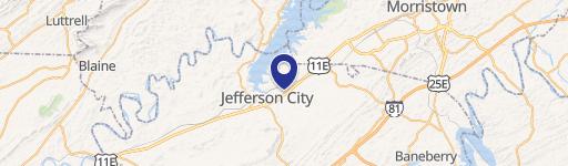
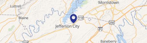
Location Insight
- Map
- Local Demand
- City
- Jefferson City
- County
- Jefferson
- State
- Tennessee
- Longitude
- -83.4964
- Latitude
- 36.1125
- CBSA code
- 34100
- CBSA name
- MORRISTOWN, TN METROPOLITAN STATISTICAL AREA
Property Tax & Assessments
Tax date
Tax Amount
Assessed Land Value
Assessed Improvement Value
Total Assessed Value
Applied Tax Rate
Land Market Value
Improvement Market Value
Total Market Value
0
$0.00
$305,040
$0.00
$305,040
-
$762,600
$0.00
$762,600