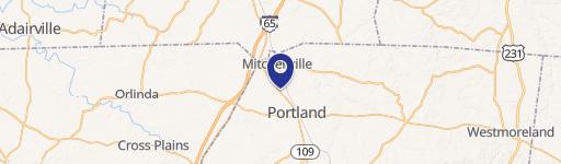
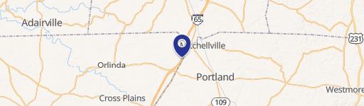
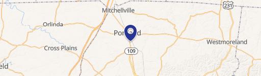
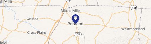
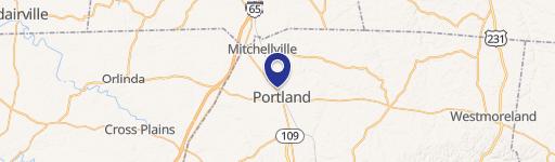
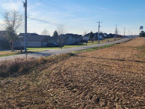
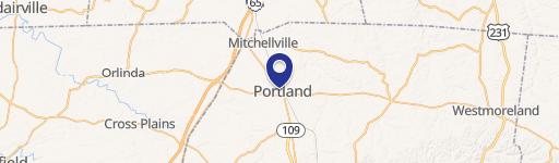
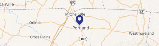
Hwy 31w Portland, TN 37148
Property profile & analytics
Hwy 31w, Portland, TN 37148
- Commercial land
- 8.50 lot acres
Property ID
US80-2445127
The Realmo ID is a unique identifier assigned to every property, incorporating country codes and precise geo-coordinates for 300x300-foot land blocks. It enables standardized data collection and seamless integration of disparate sources such as ownership, tax, title data and physical specifications. By aggregating current and historical records, the Realmo ID powers advanced analytics and delivers deep, verifiable insights for real estate professionals.
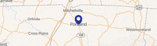
Location Intelligence
Current Use by Public Records
- Commercial land
Property Details for Hwy 31w
- Lot size
- 8.50 lot acres
- Property type
- Commercial land
- APN
- 074026 00500
- APU
- 7402600500
Sales History
| Date | Price | Buyer | Seller | Deed Type | Mortgage |
|---|---|---|---|---|---|
| Dec 1, 2003 | $308,000 | Sofa Warehouse Of Portland | L&w Properties L | Grant Deed | — |
| Jun 5, 2003 | — | Portland City Of Tn | L & W Properties | Grant Deed · related | — |
| Jan 24, 2003 | $210,000 | D Coates | L&w Properties L | Grant Deed | — |
| Oct 1, 2002 | $1,650,000 | Daido Corporation Of Ameri | L & W Properties | Grant Deed | — |
| Apr 24, 2002 | $150,000 | William W Grubbs JR. | L & W Properties | Grant Deed | — |
| May 12, 1995 | $450,000 | Larry Collins | Collins,larry Et | Grant Deed · related | — |
Value Estimations
based on Realmo’s proprietary methodology
-
AI approach
-
CAP approach
-
Comparable approach
-
Alternative Use
Get a detailed, property-specific estimation — fast and free
Location Insight
- Map
- Local Demand
- City
- Portland
- County
- Robertson
- State
- Tennessee
- Longitude
- -86.566
- Latitude
- 36.6322
- CBSA code
- 34980
- CBSA name
- NASHVILLE-DAVIDSON--MURFREESBORO--FRANKLIN, TN METROPOLITAN STATISTICAL AREA
Property Tax & Assessments
Tax date
Tax Amount
Assessed Land Value
Assessed Improvement Value
Total Assessed Value
Applied Tax Rate
Land Market Value
Improvement Market Value
Total Market Value
0
$0.00
$170,000
$0.00
$170,000
-
$425,000
$0.00
$425,000